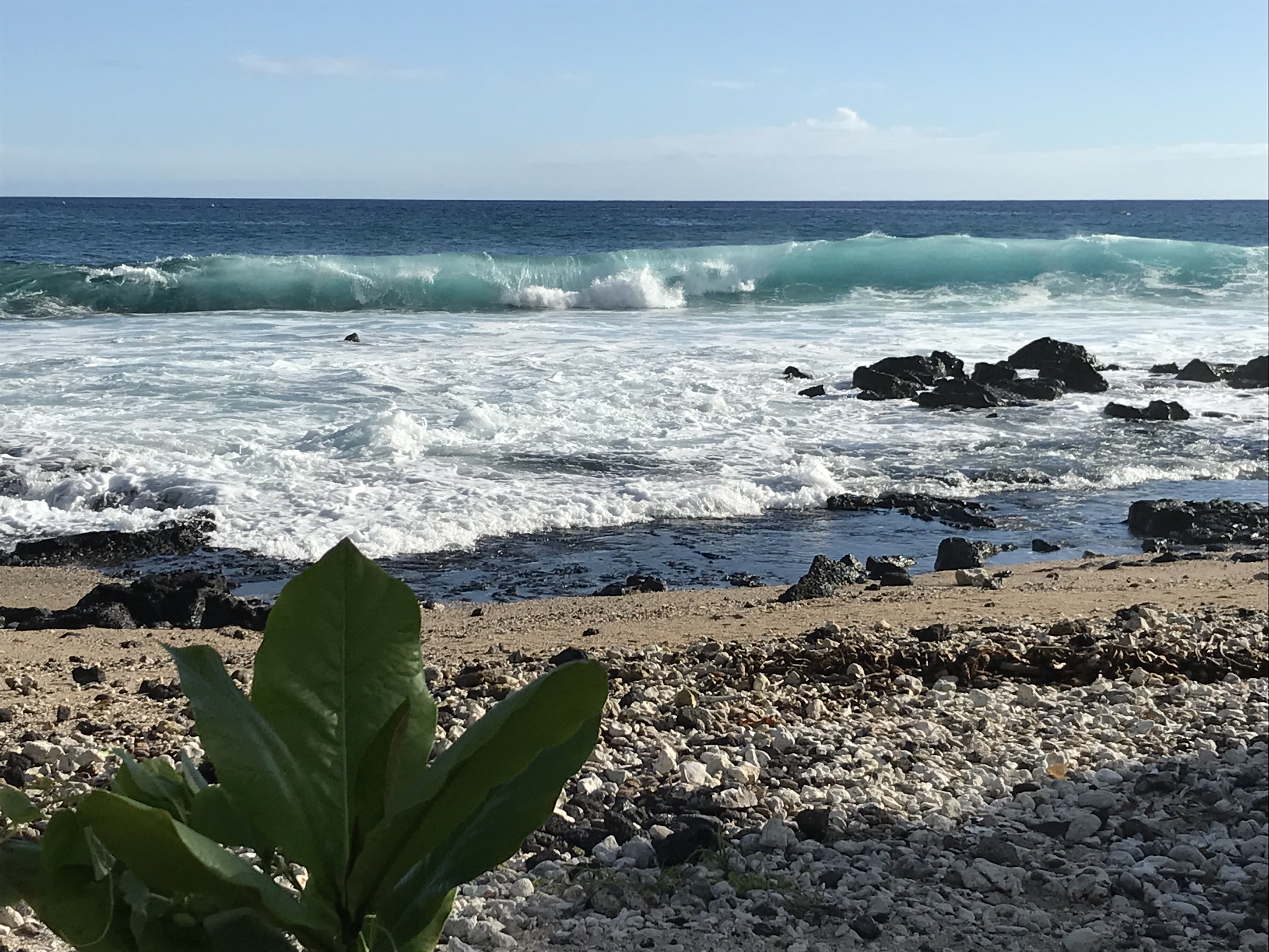
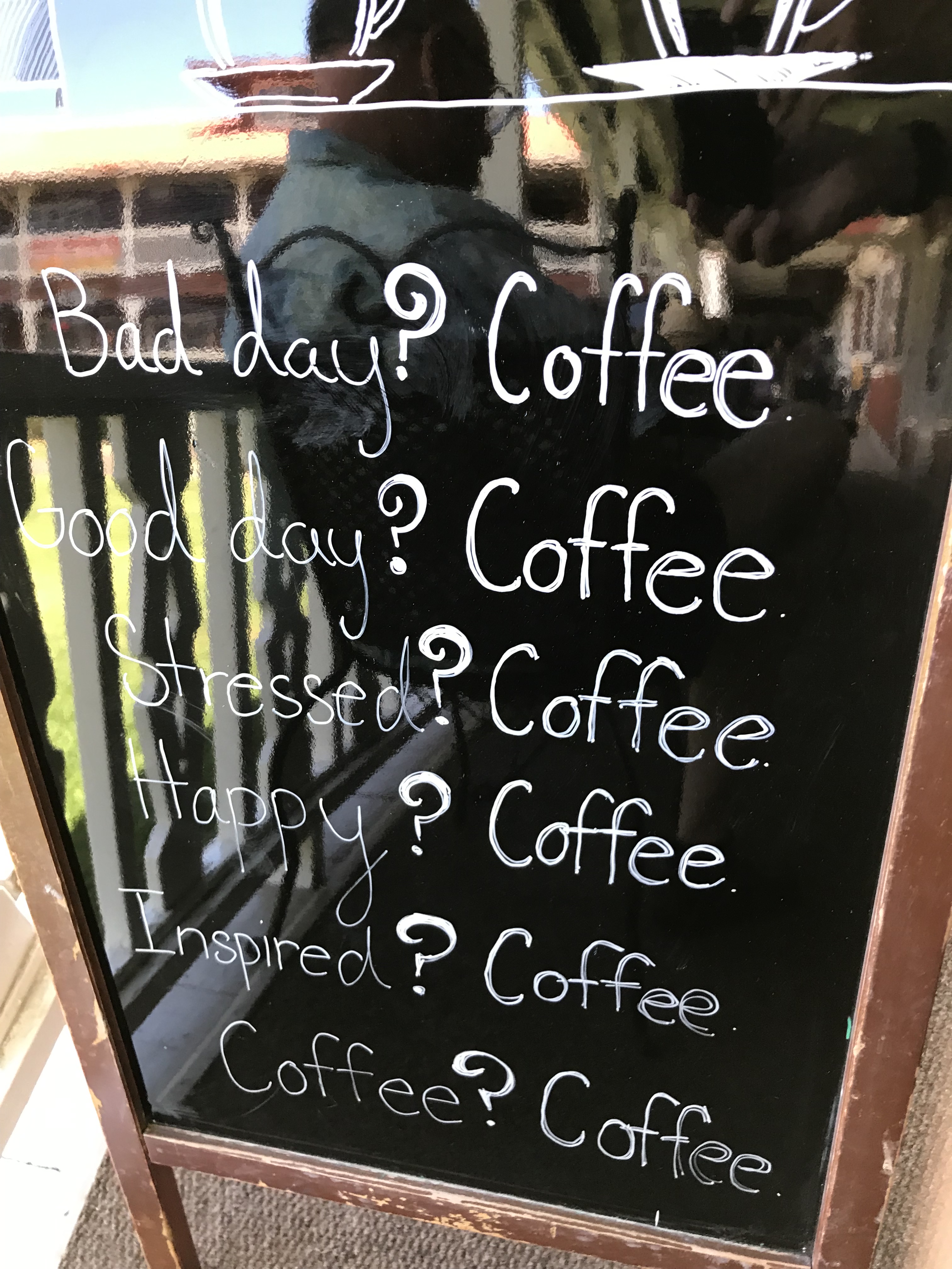
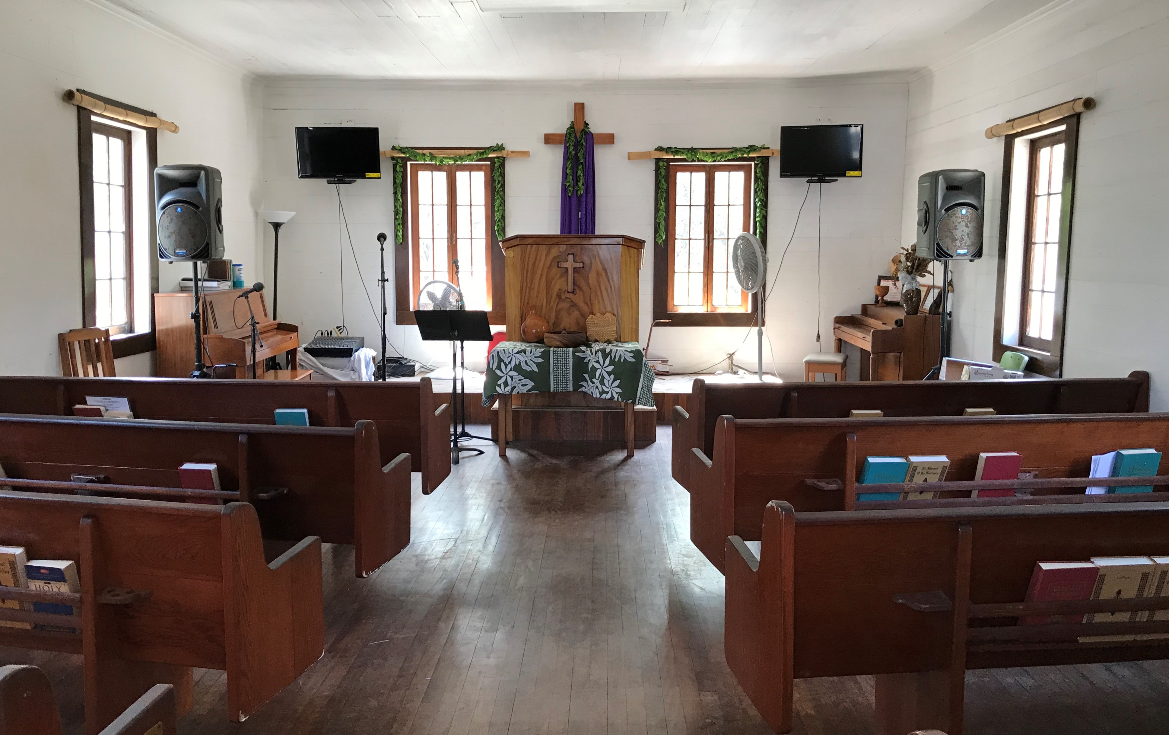
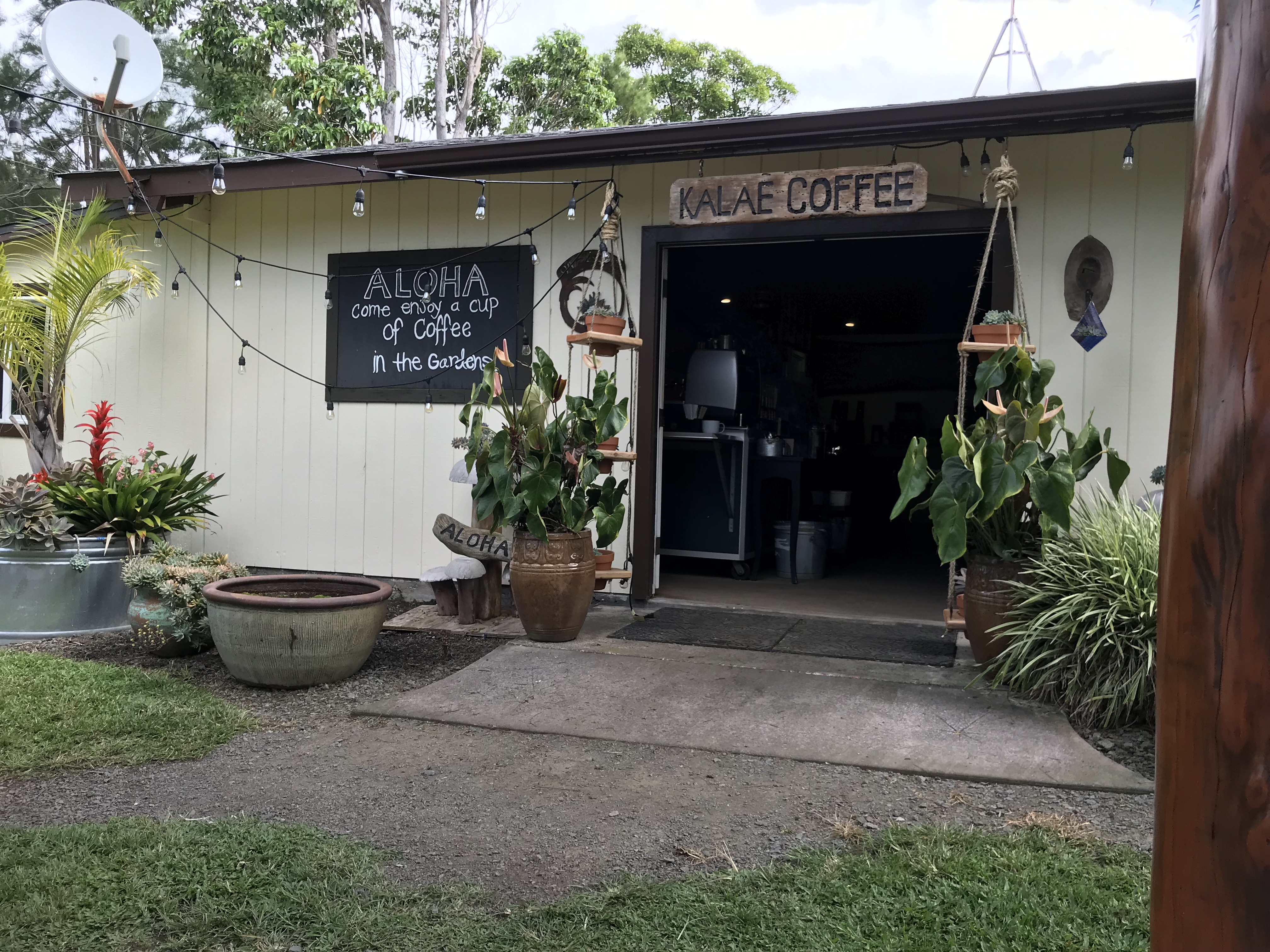
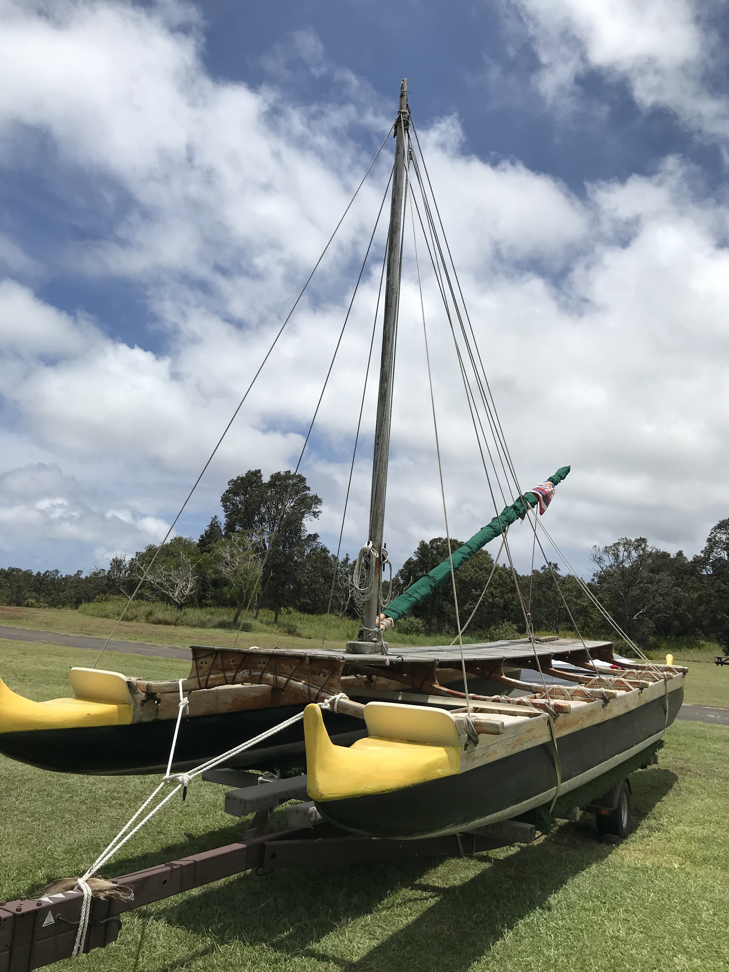
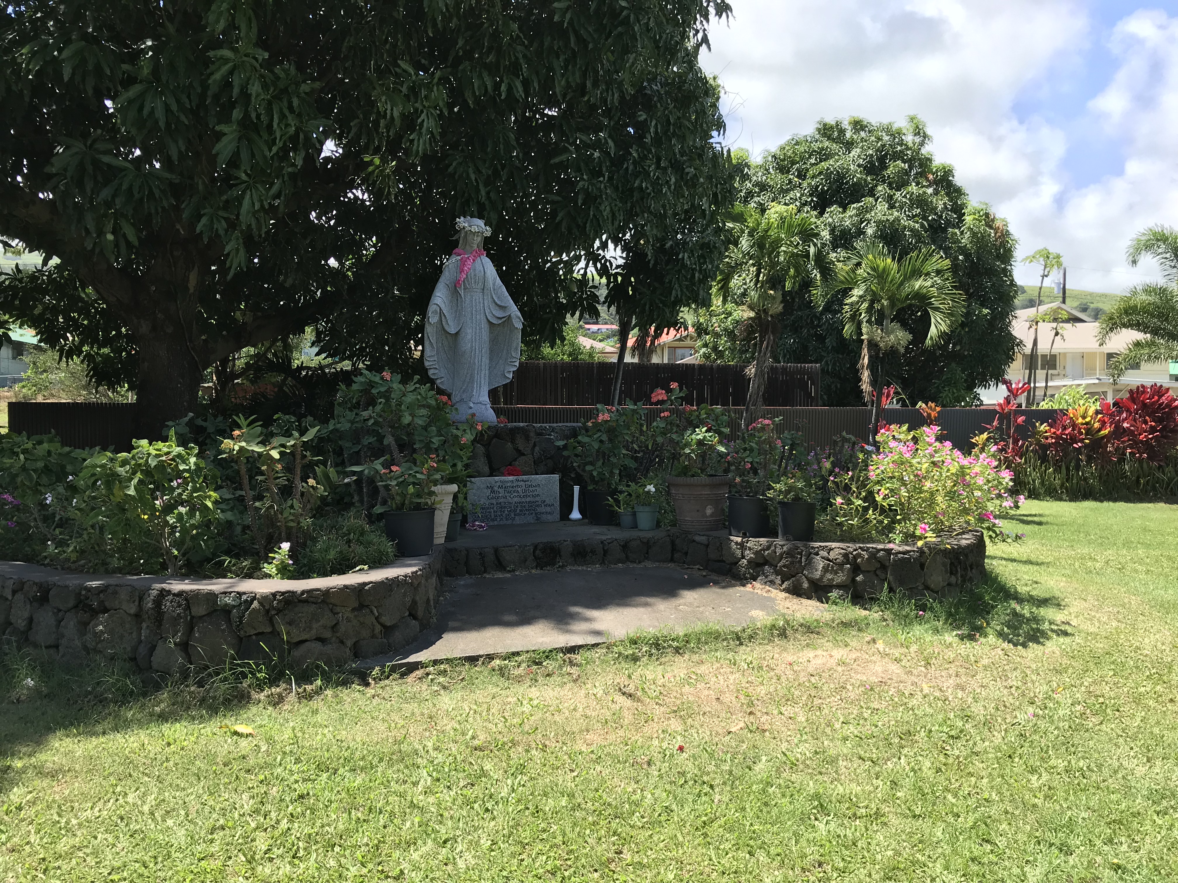
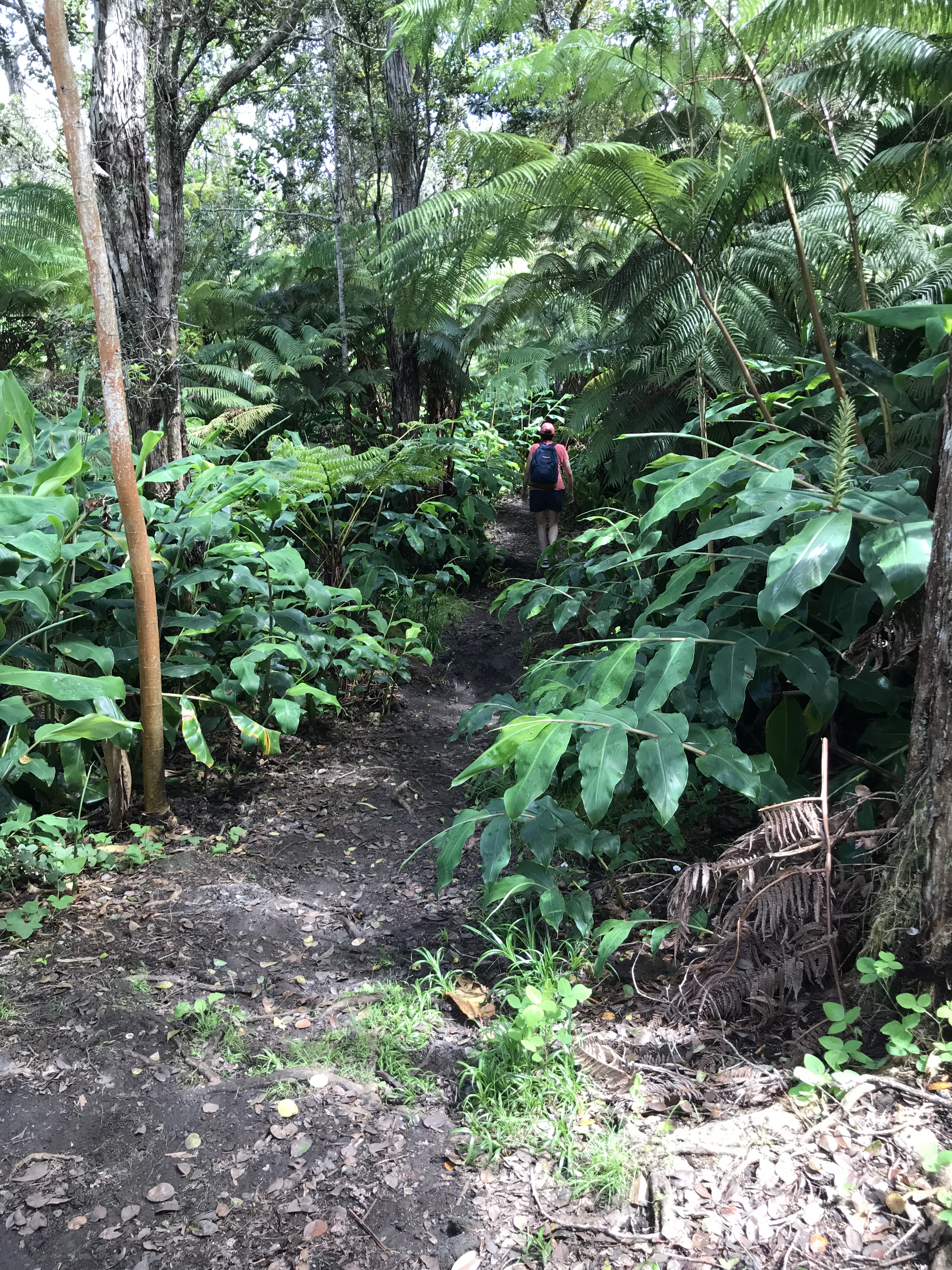
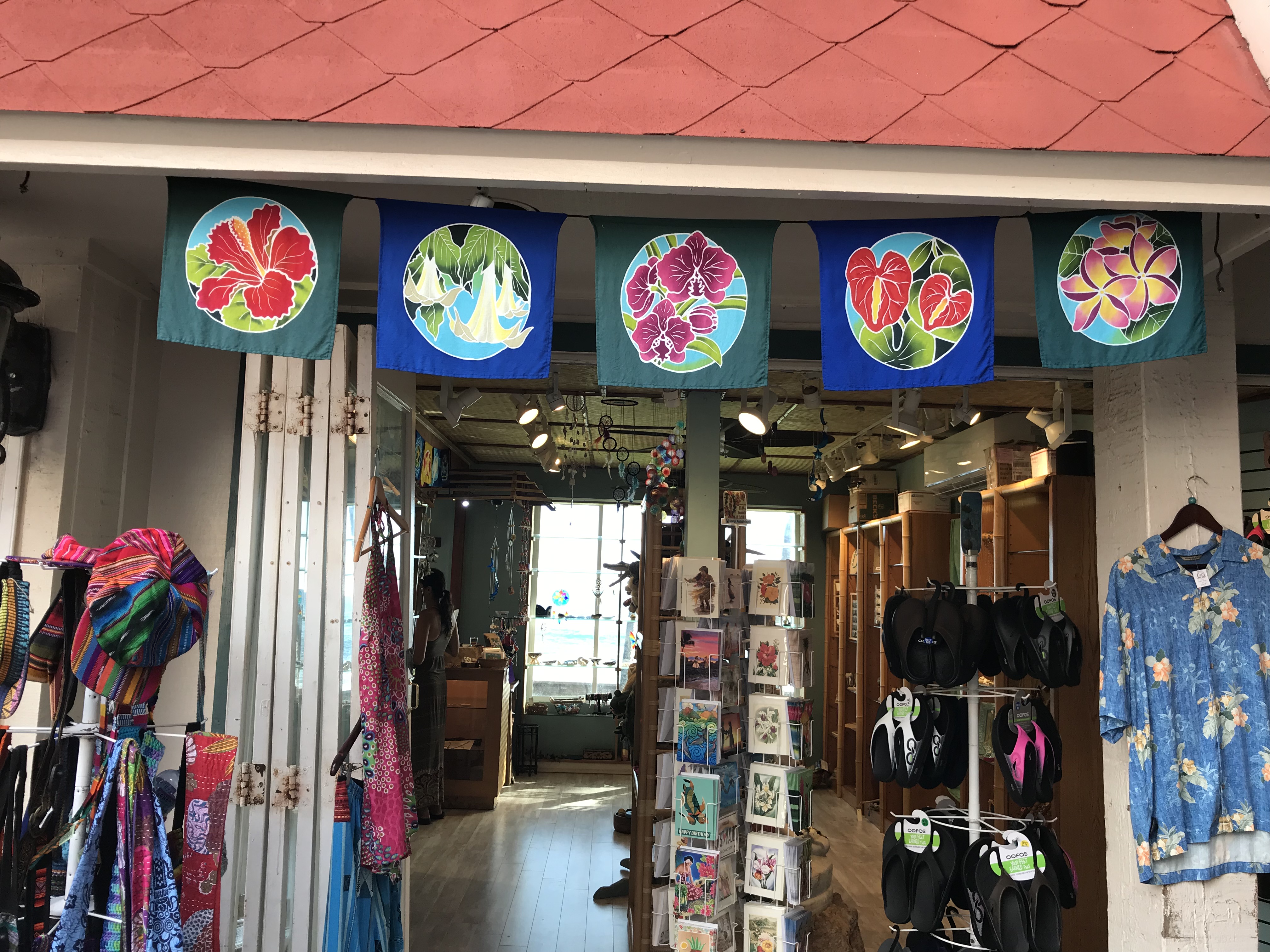
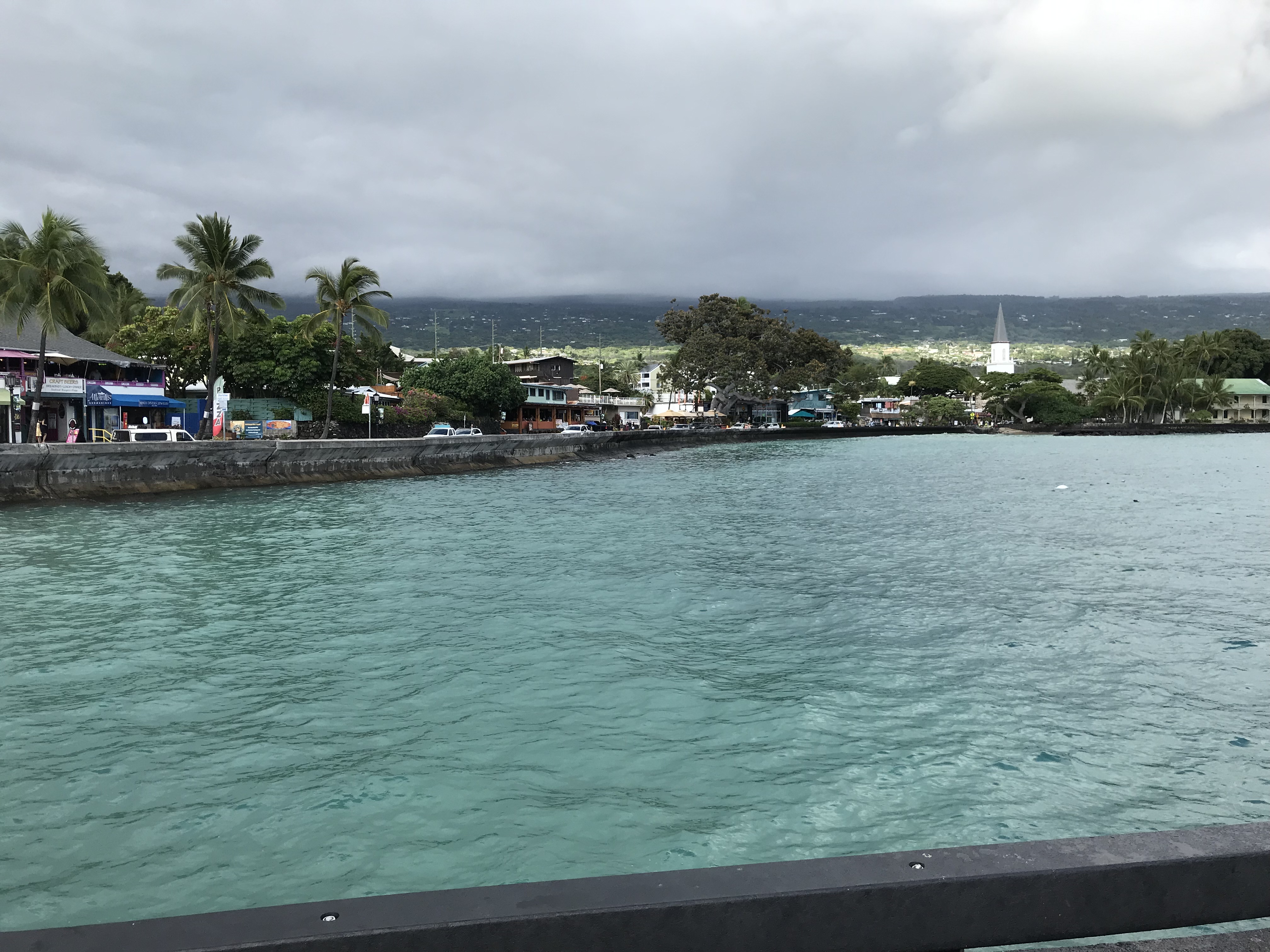
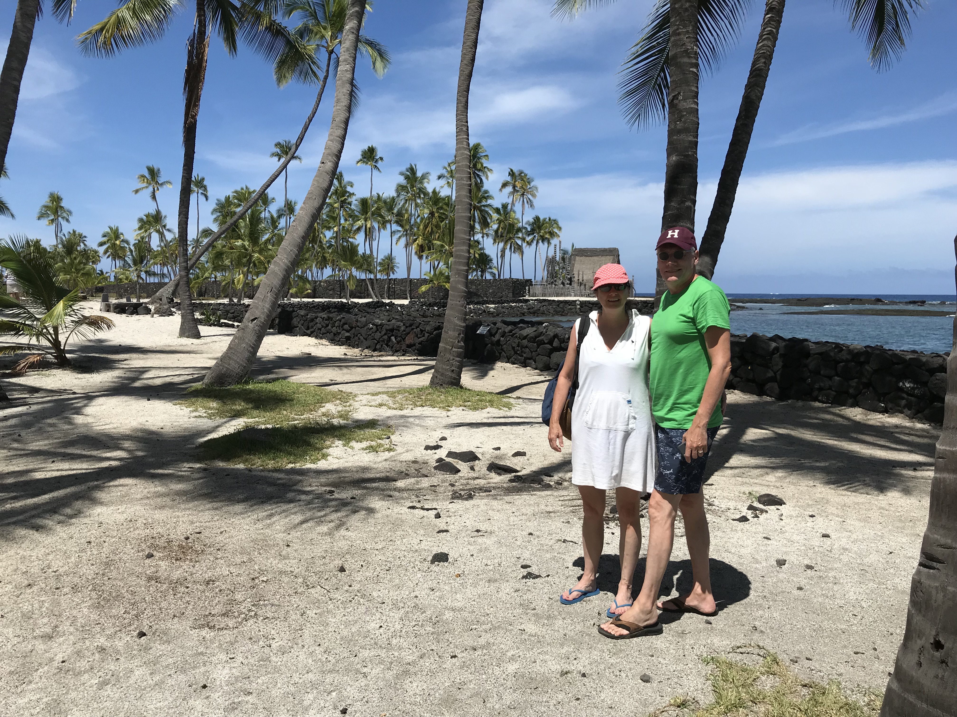
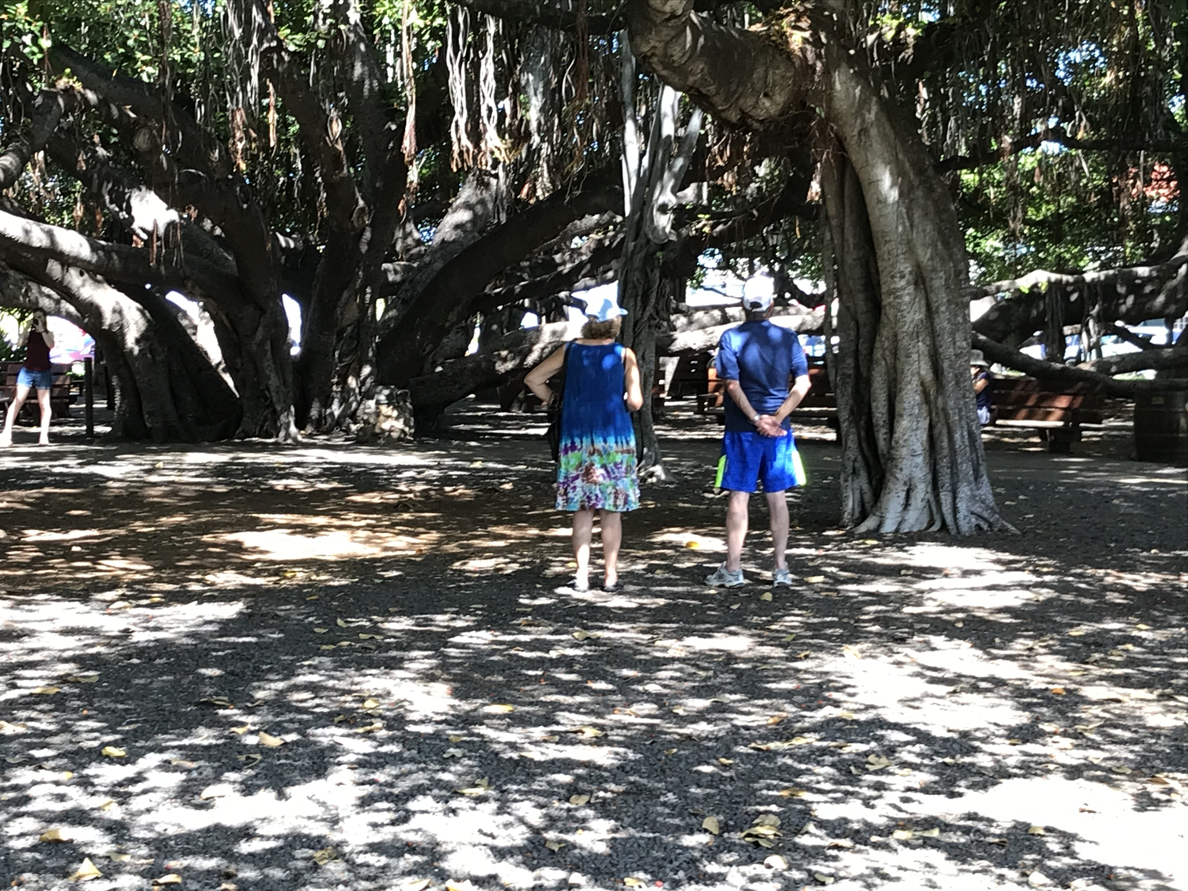
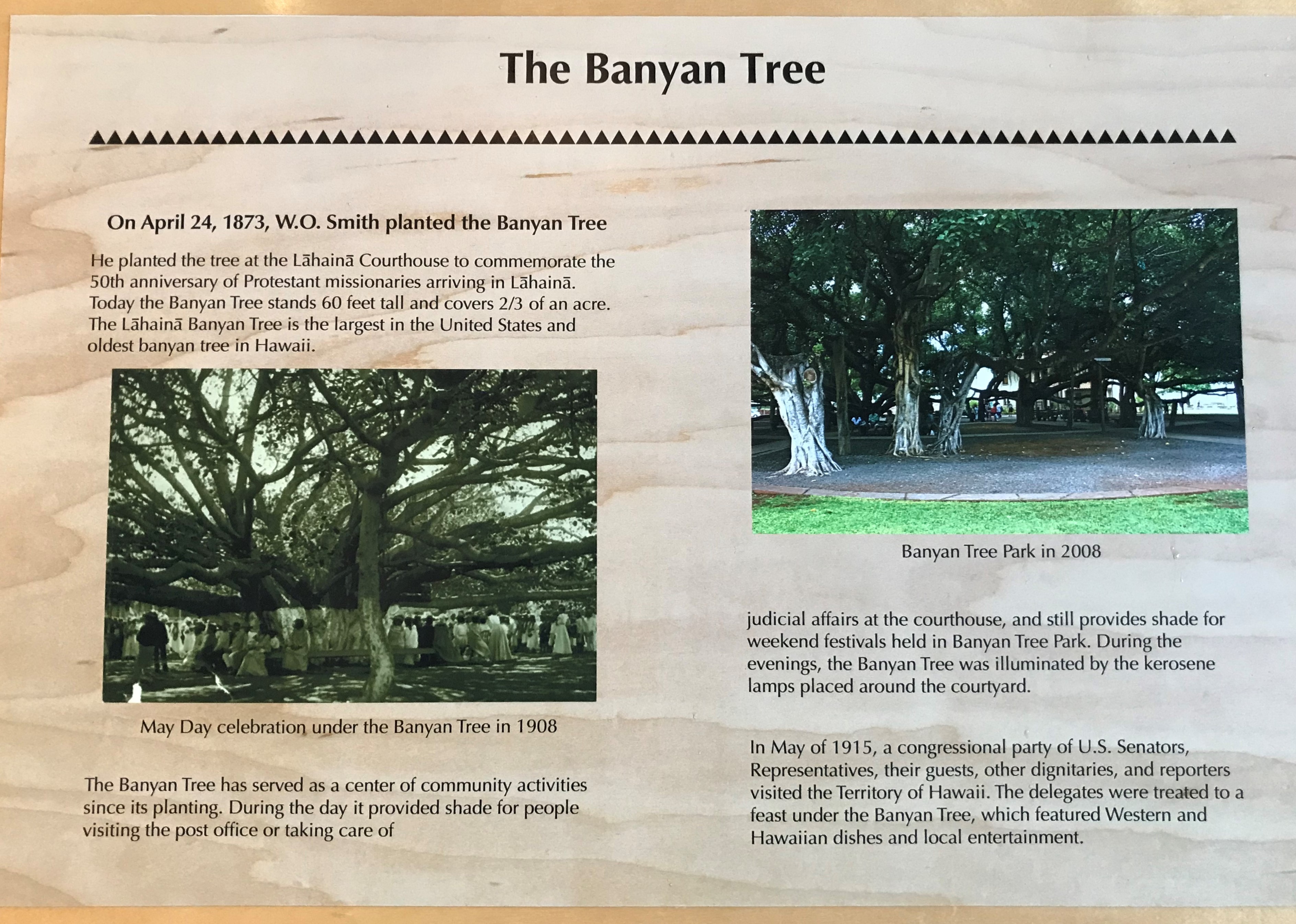
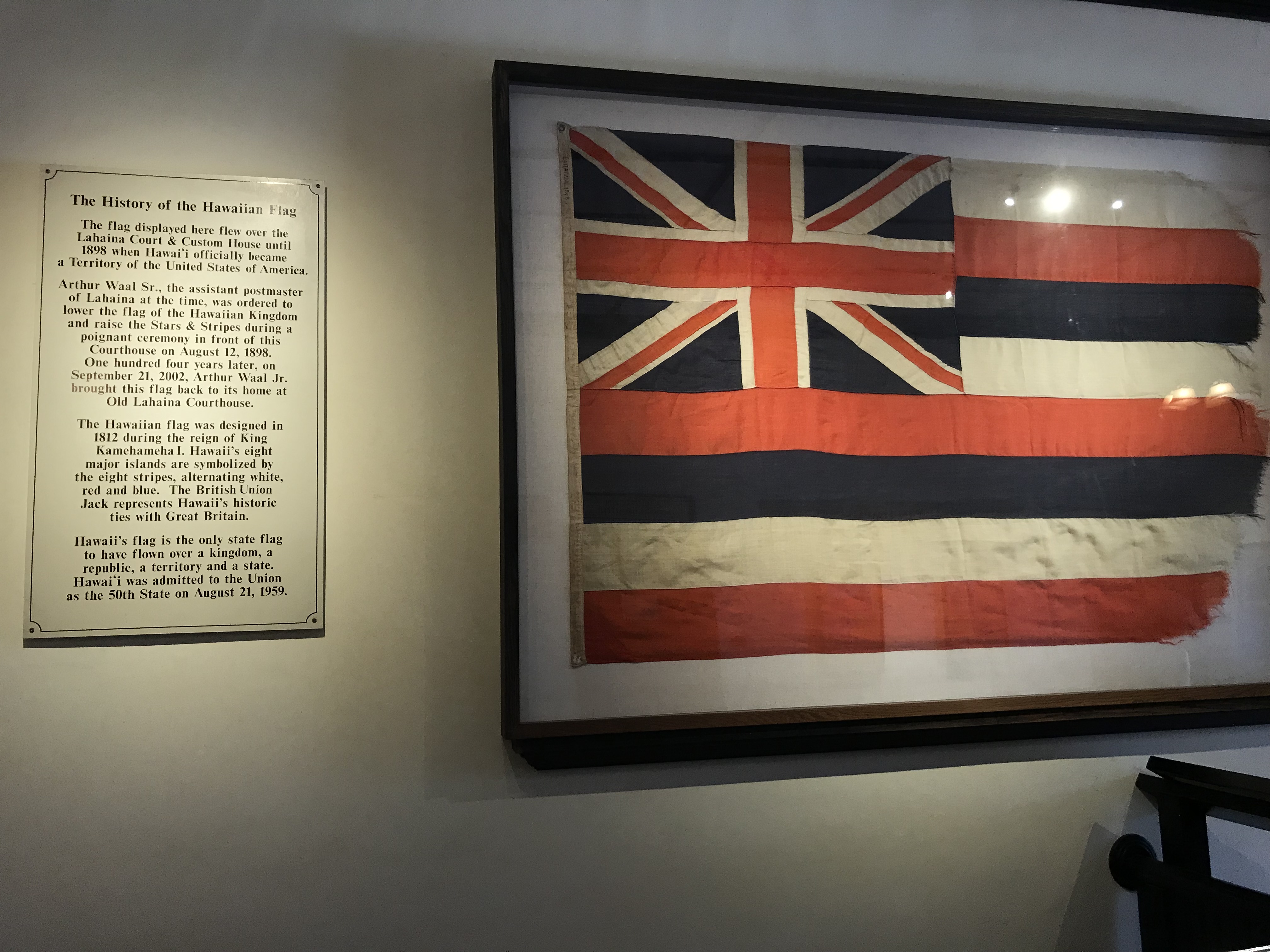
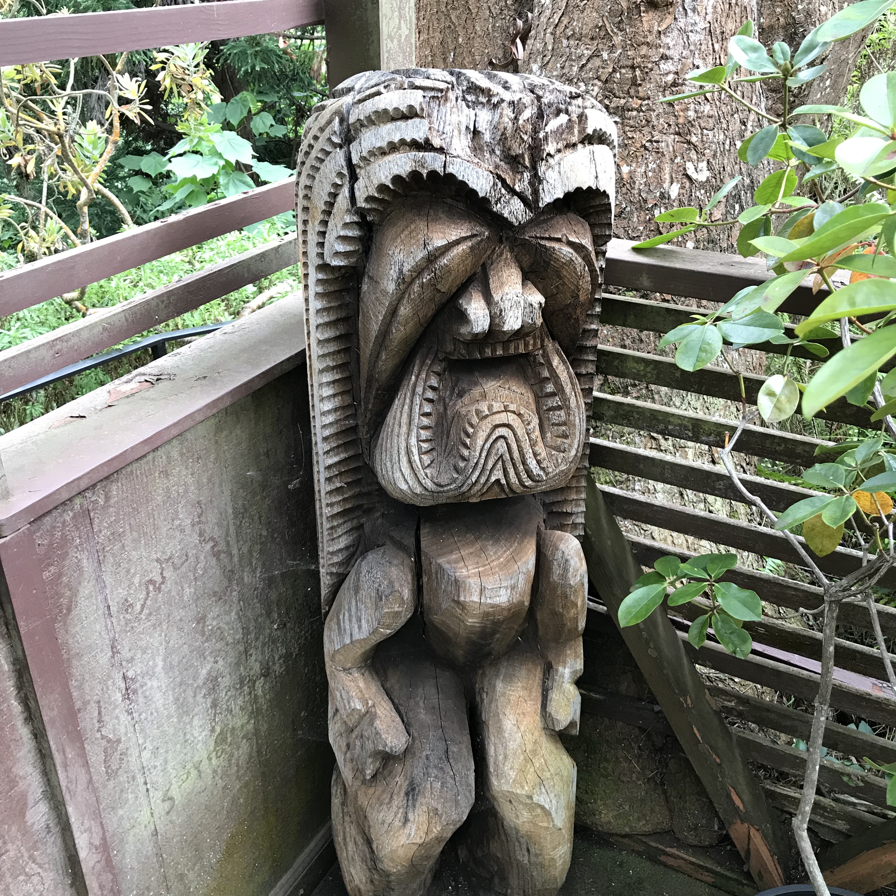
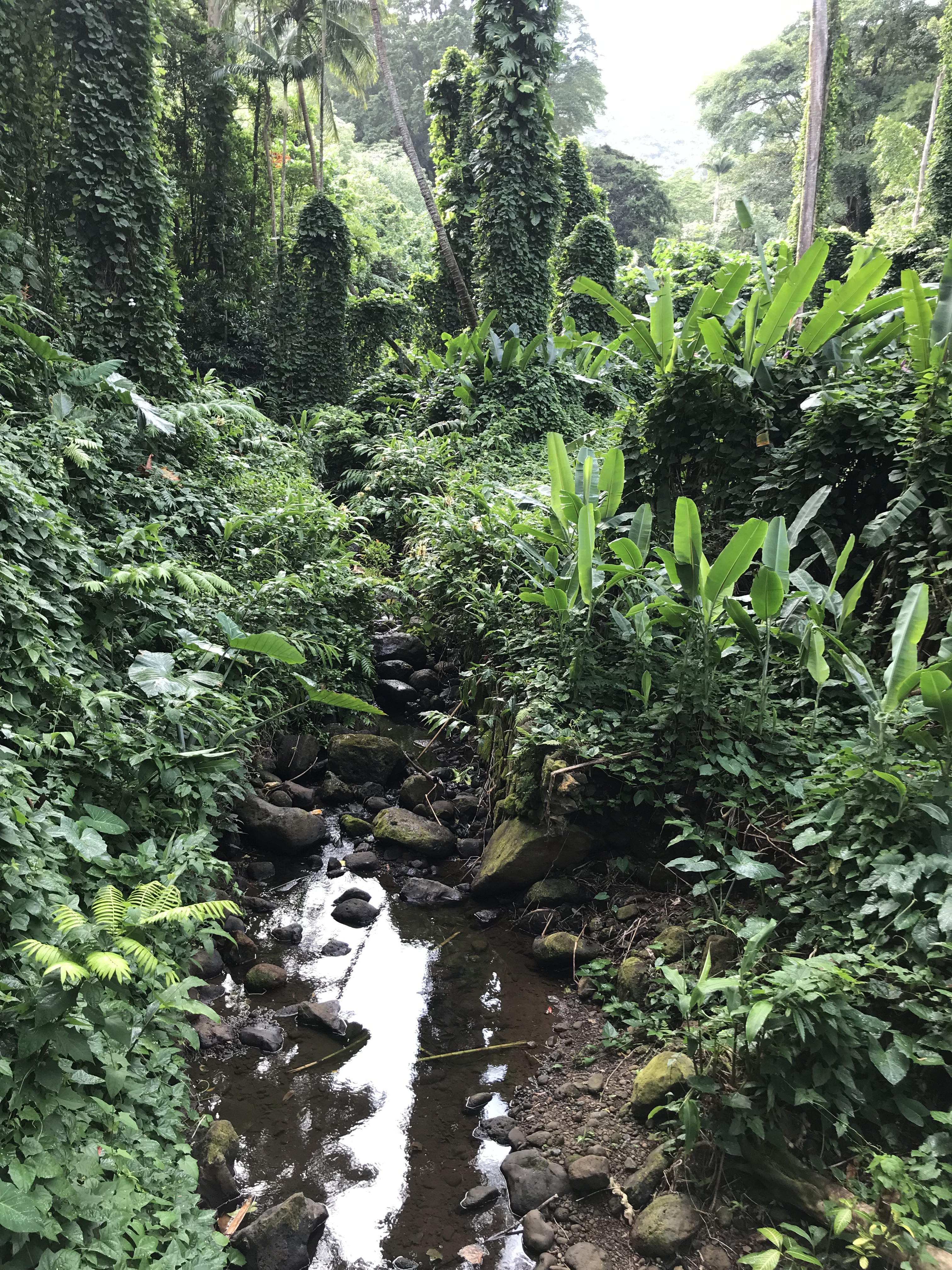
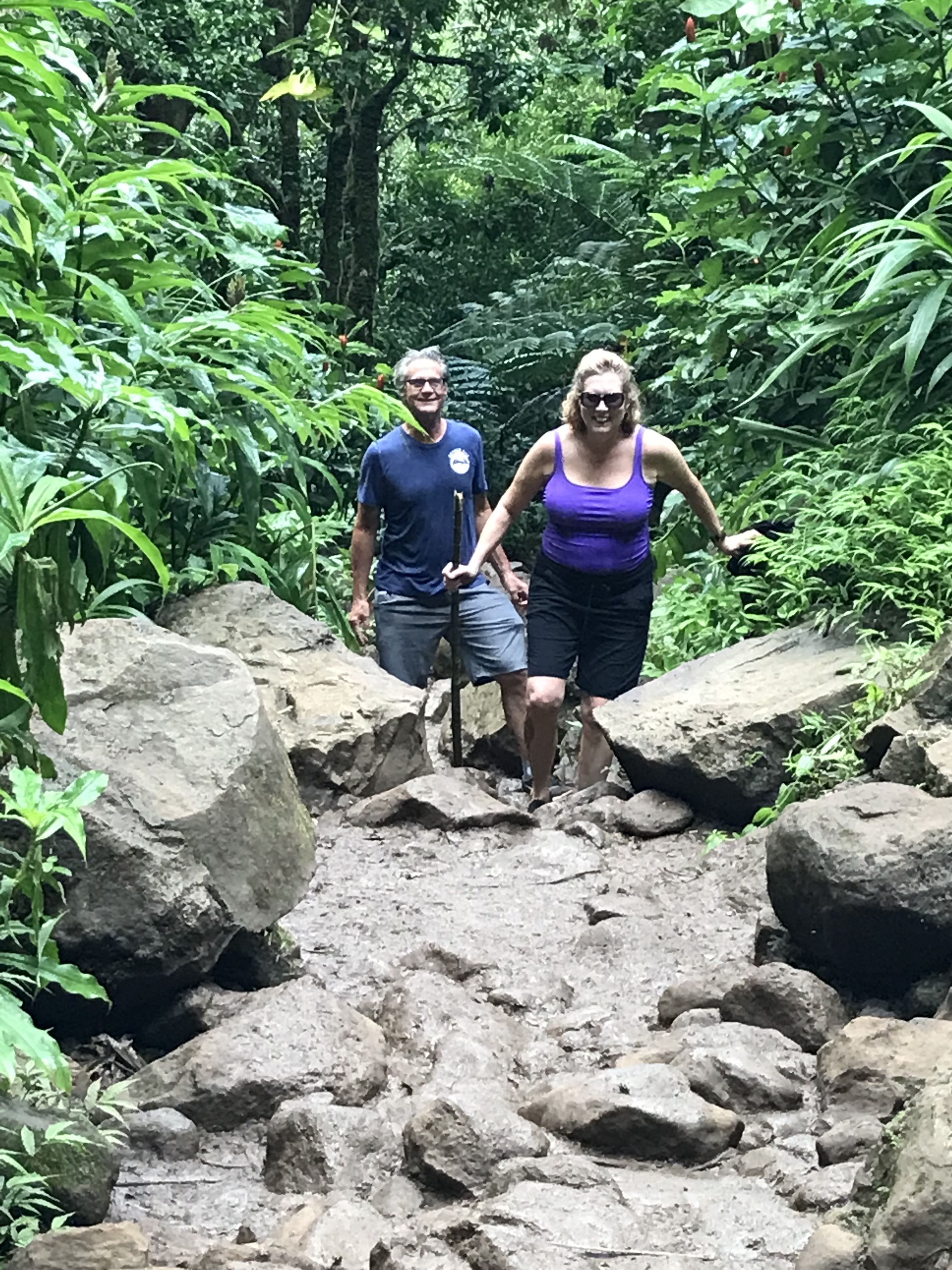
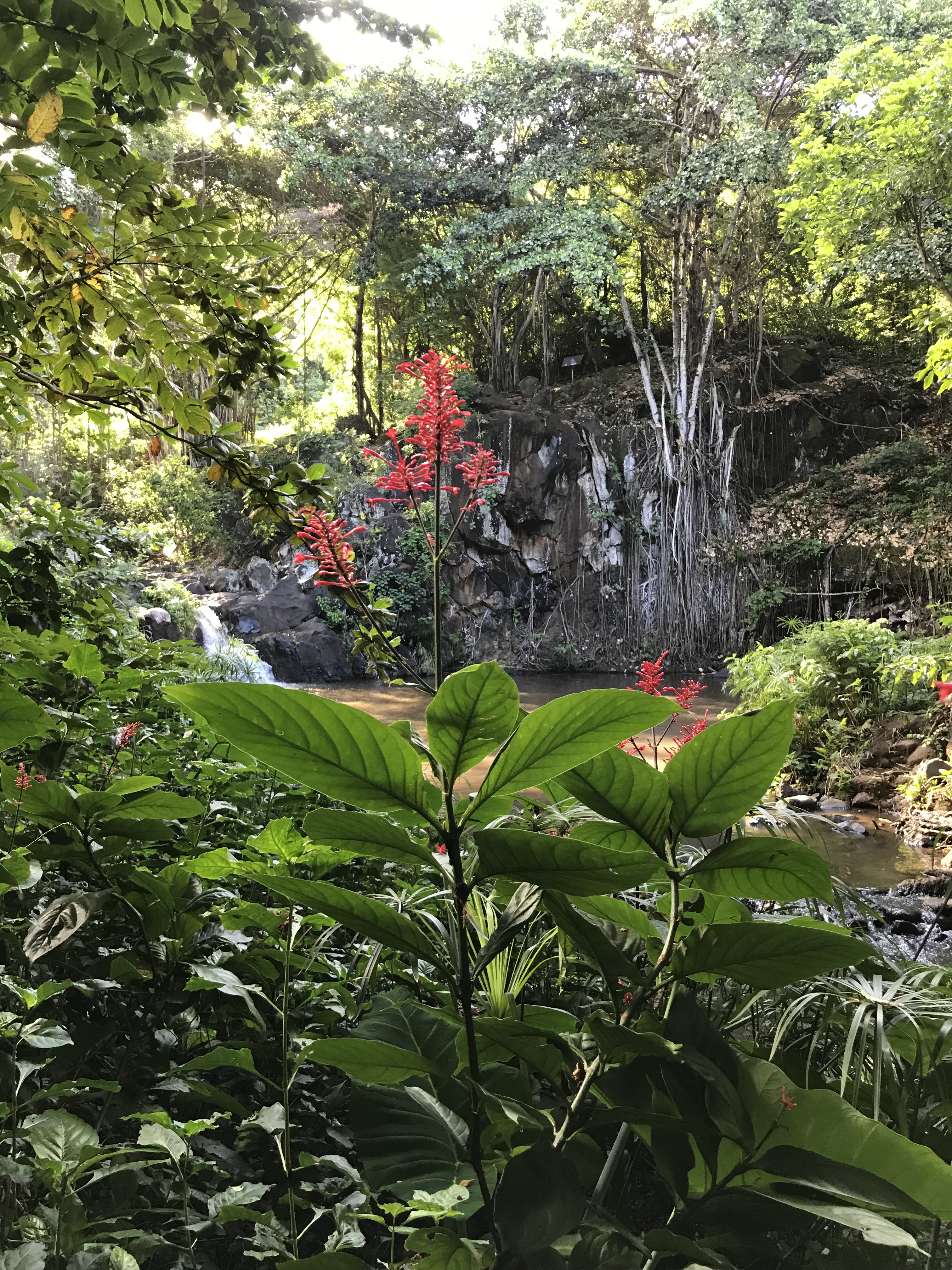
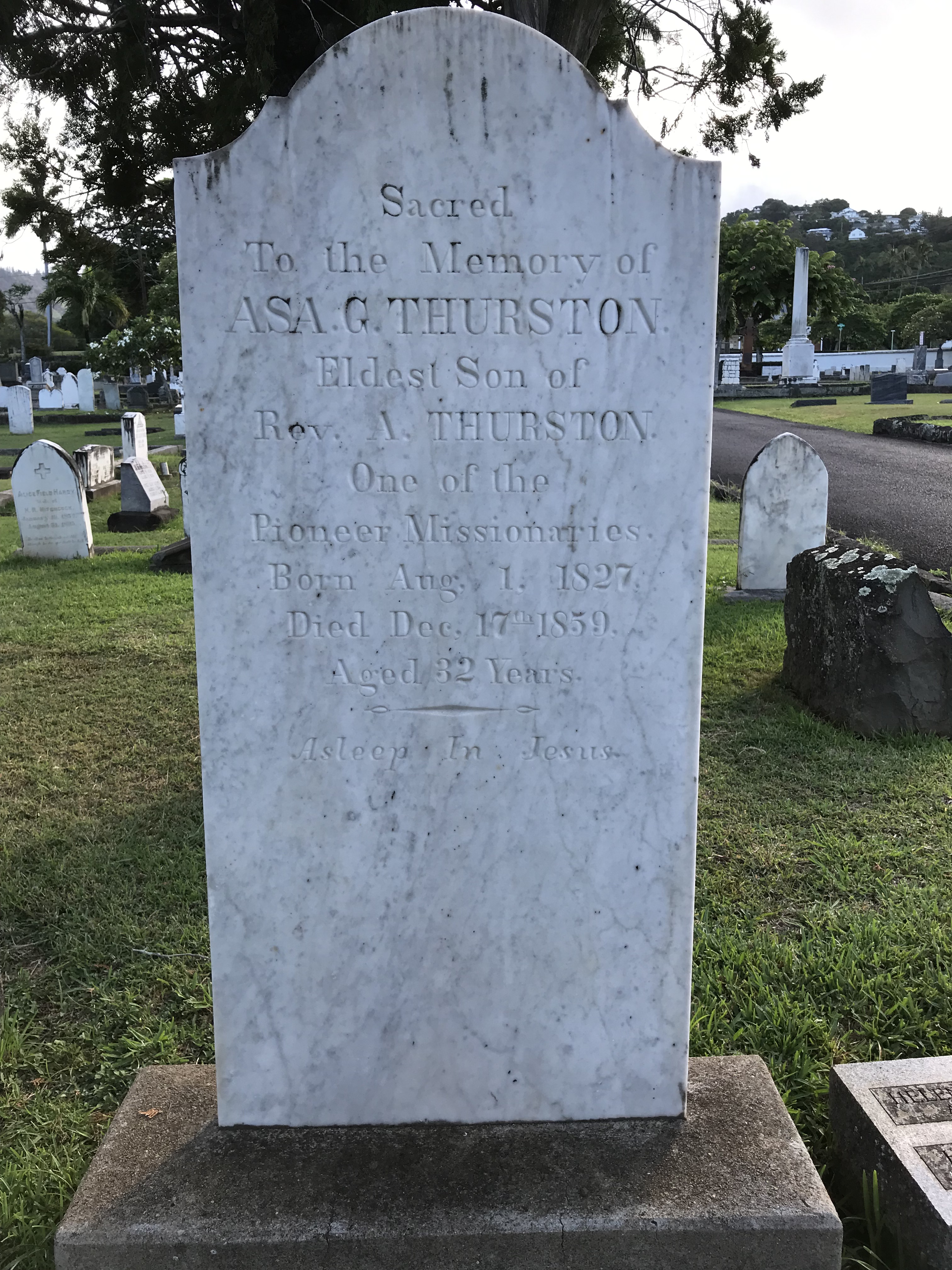
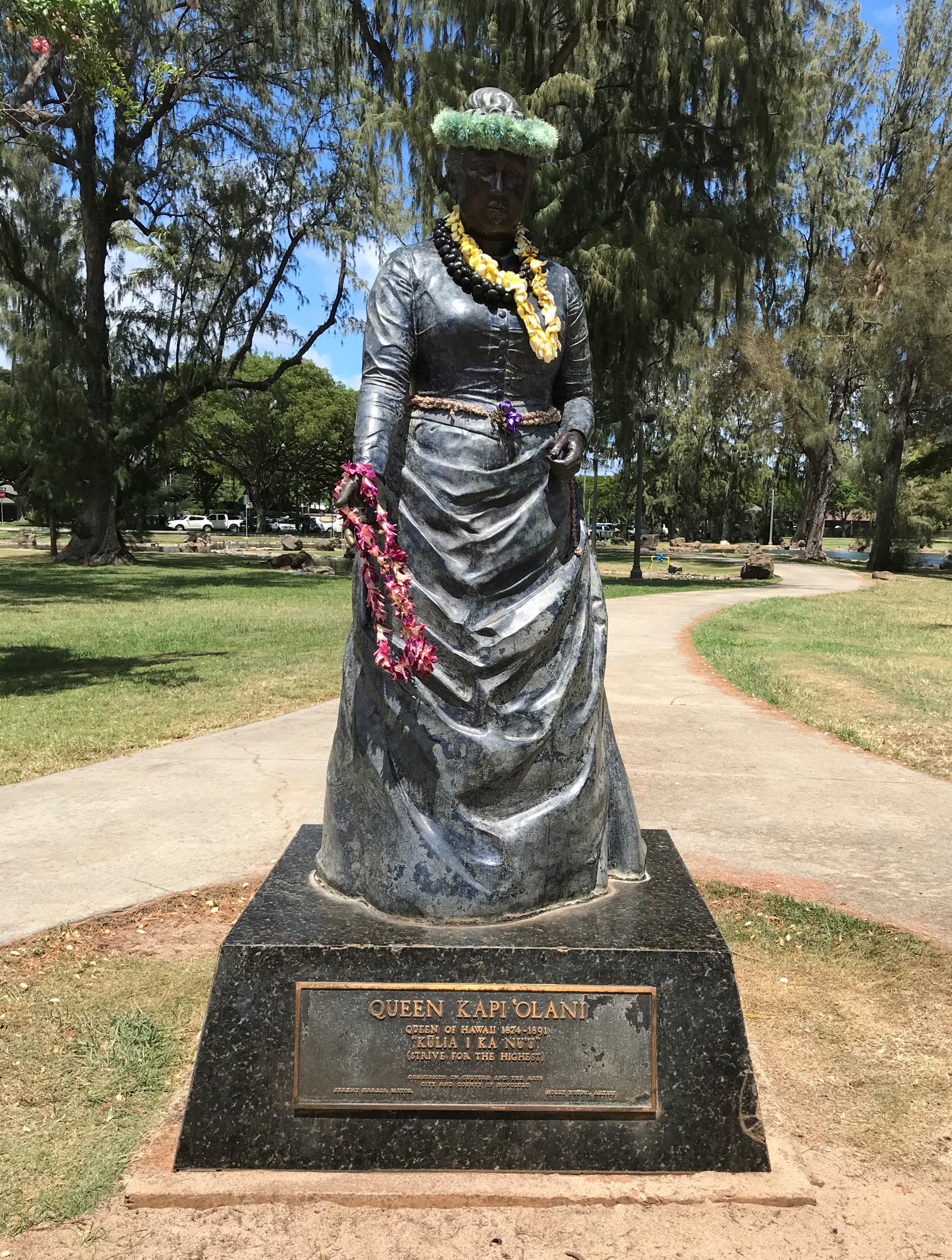
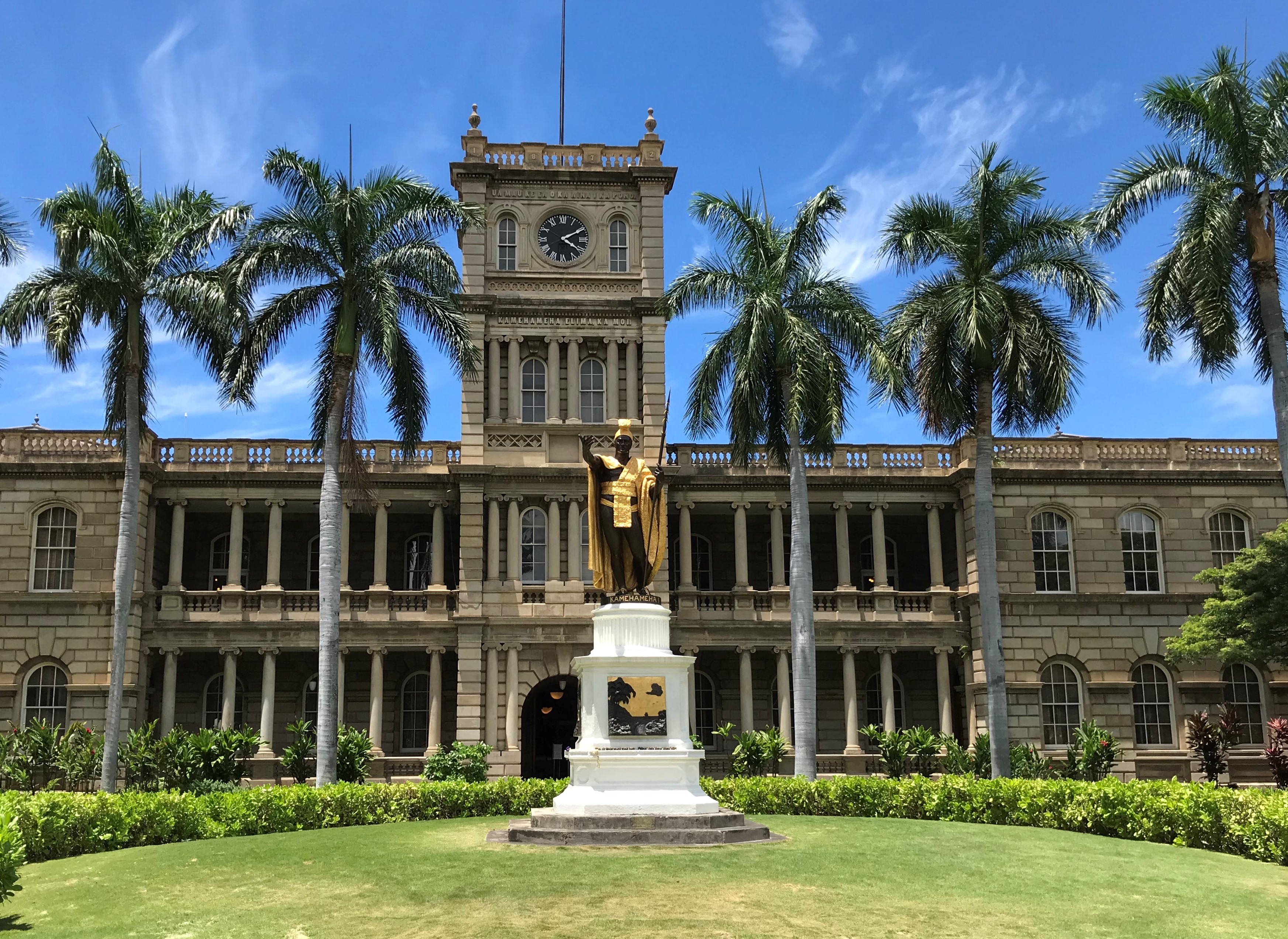
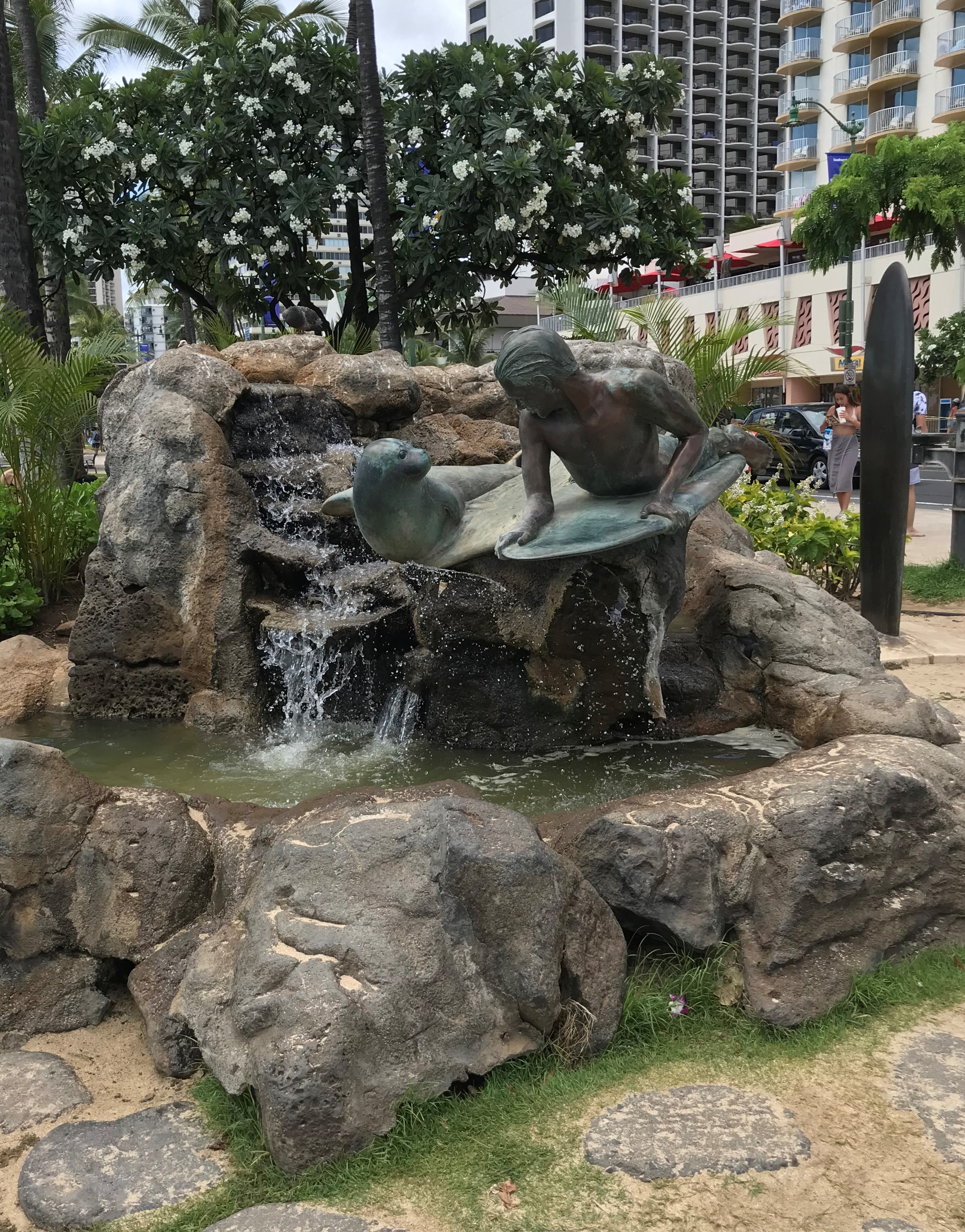
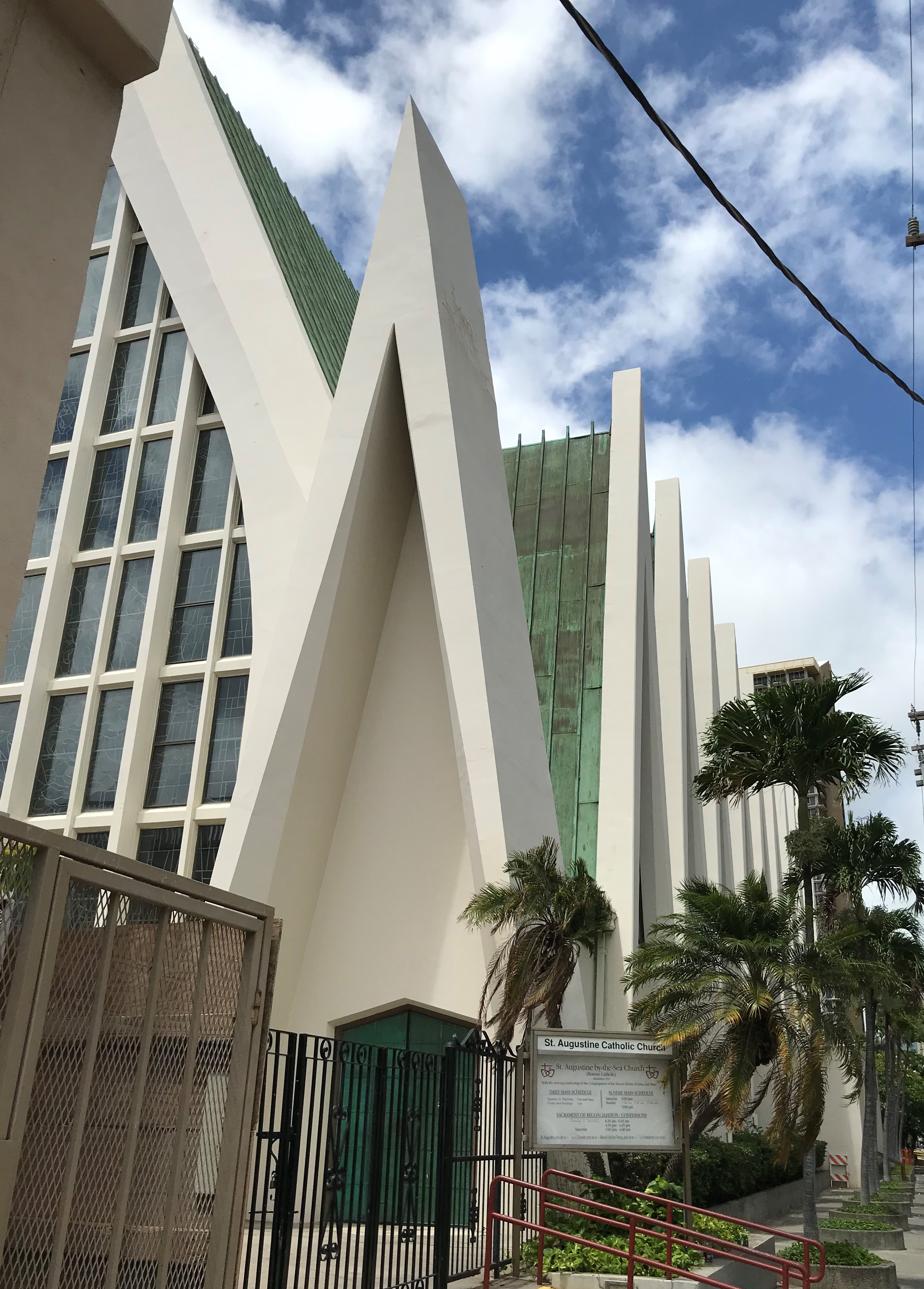
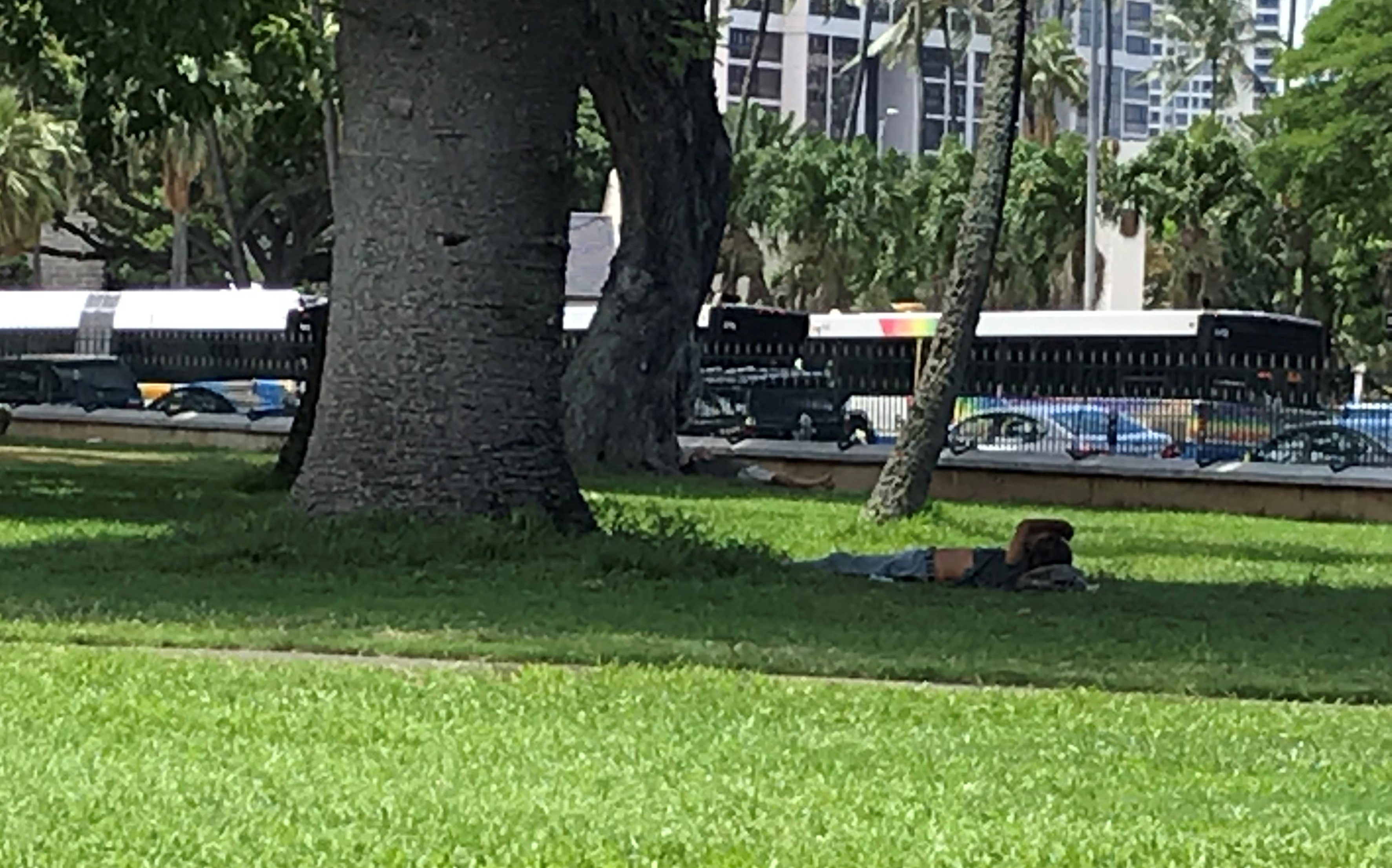
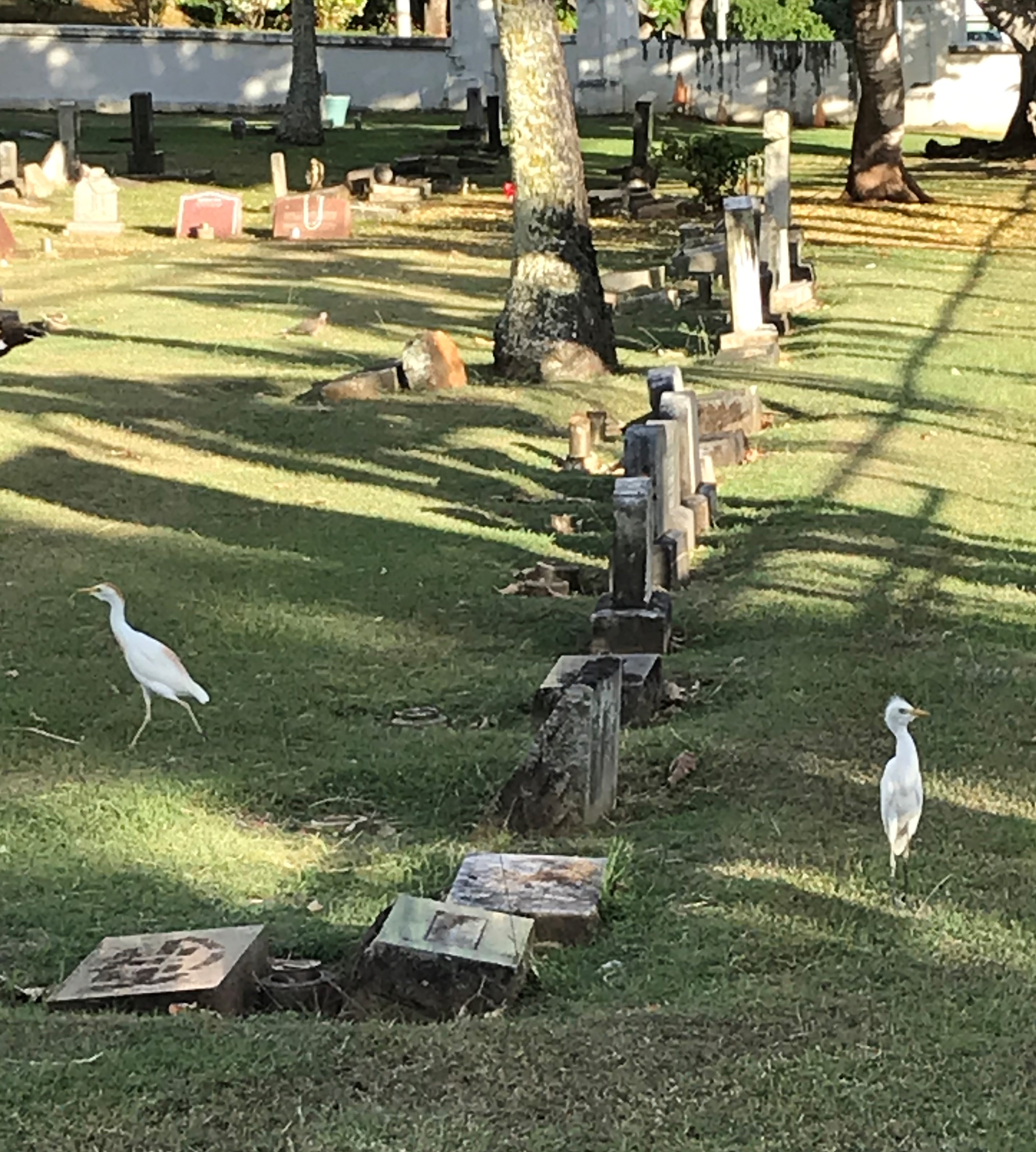
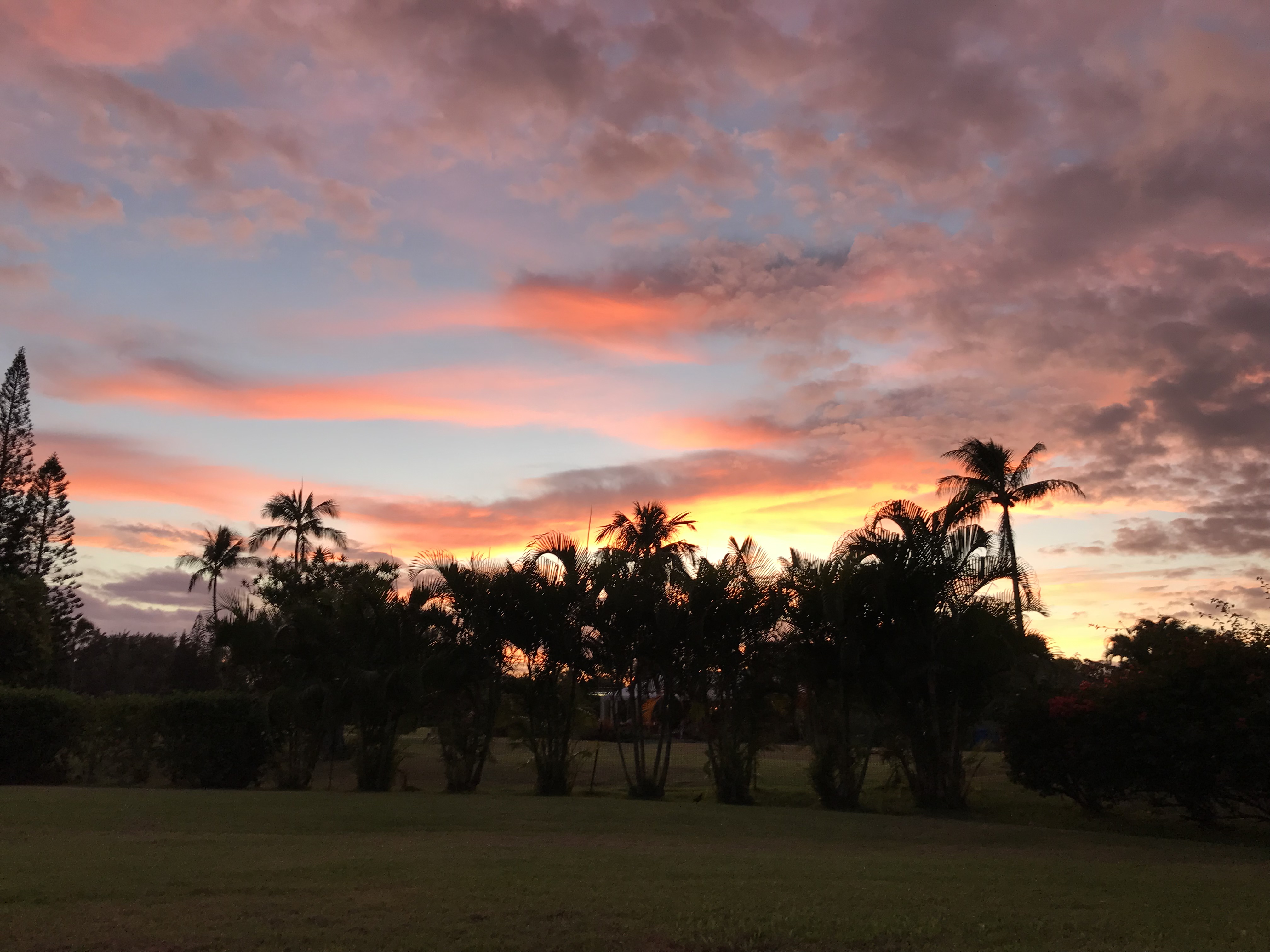
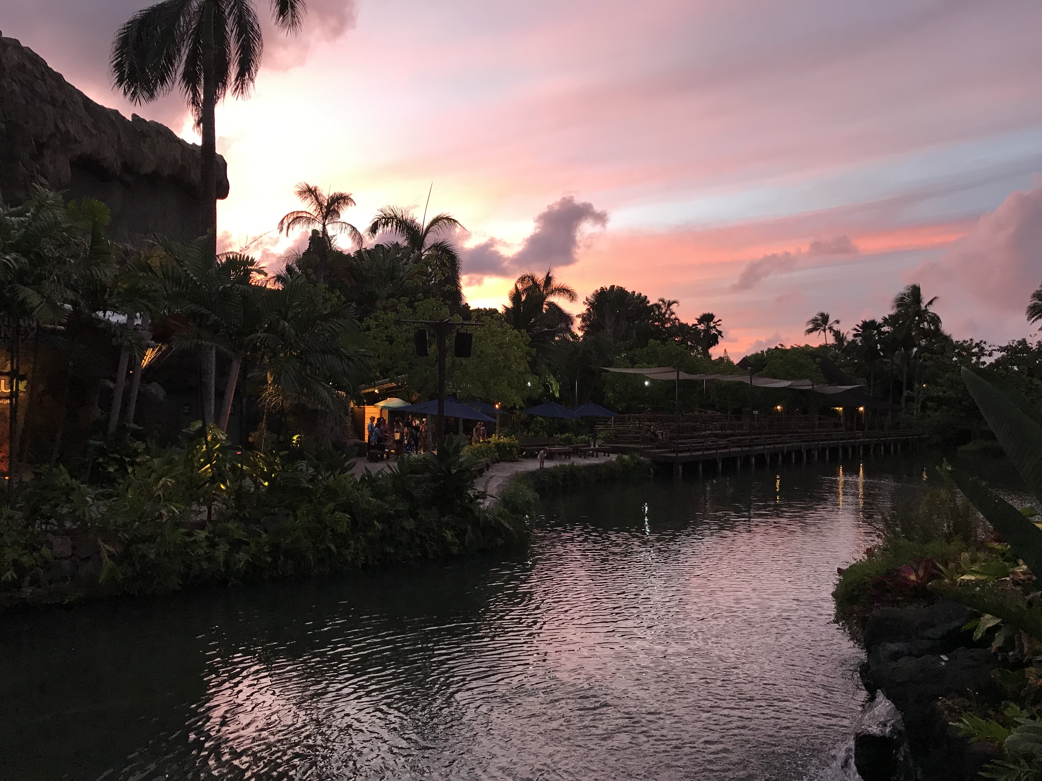
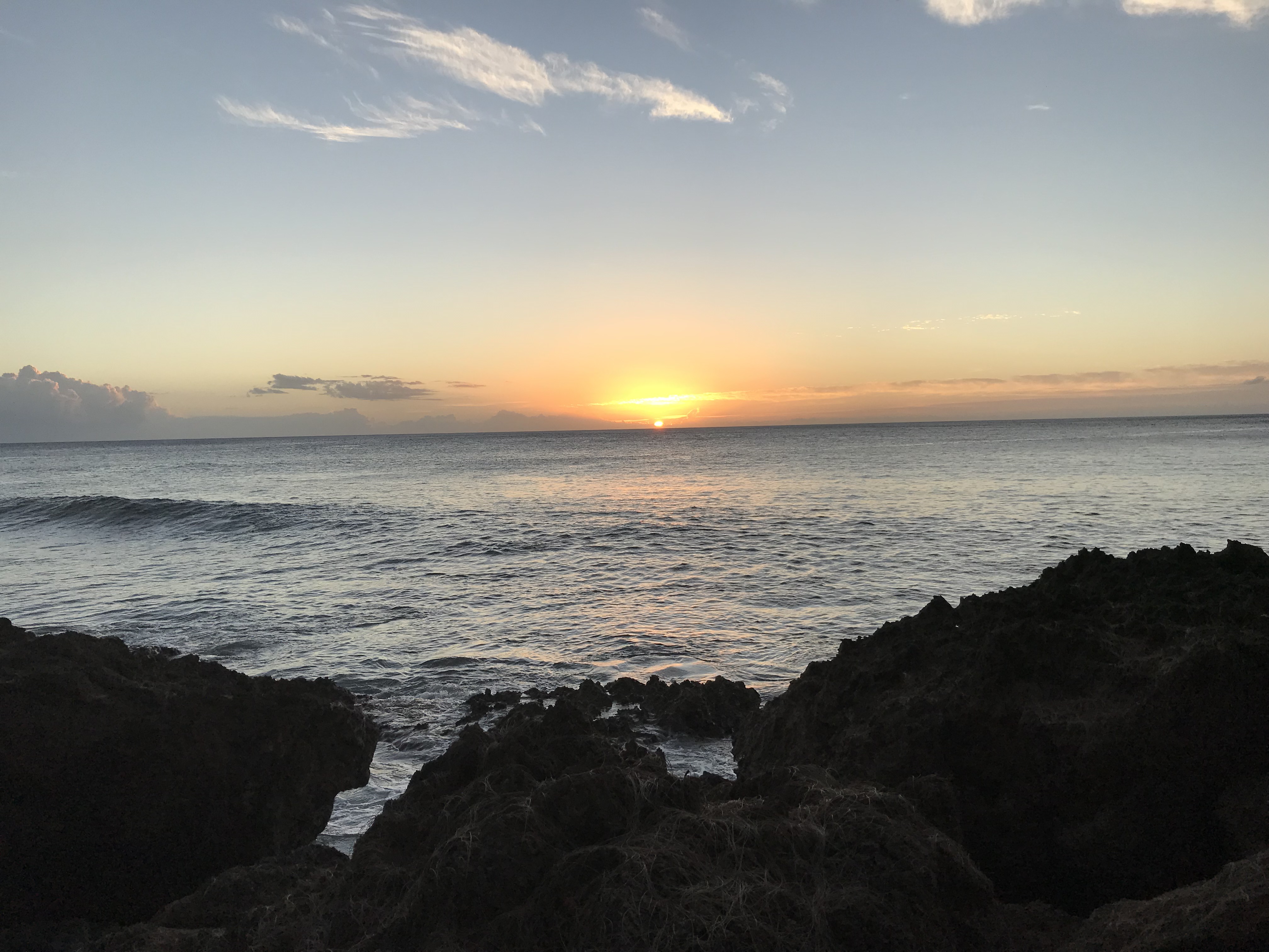
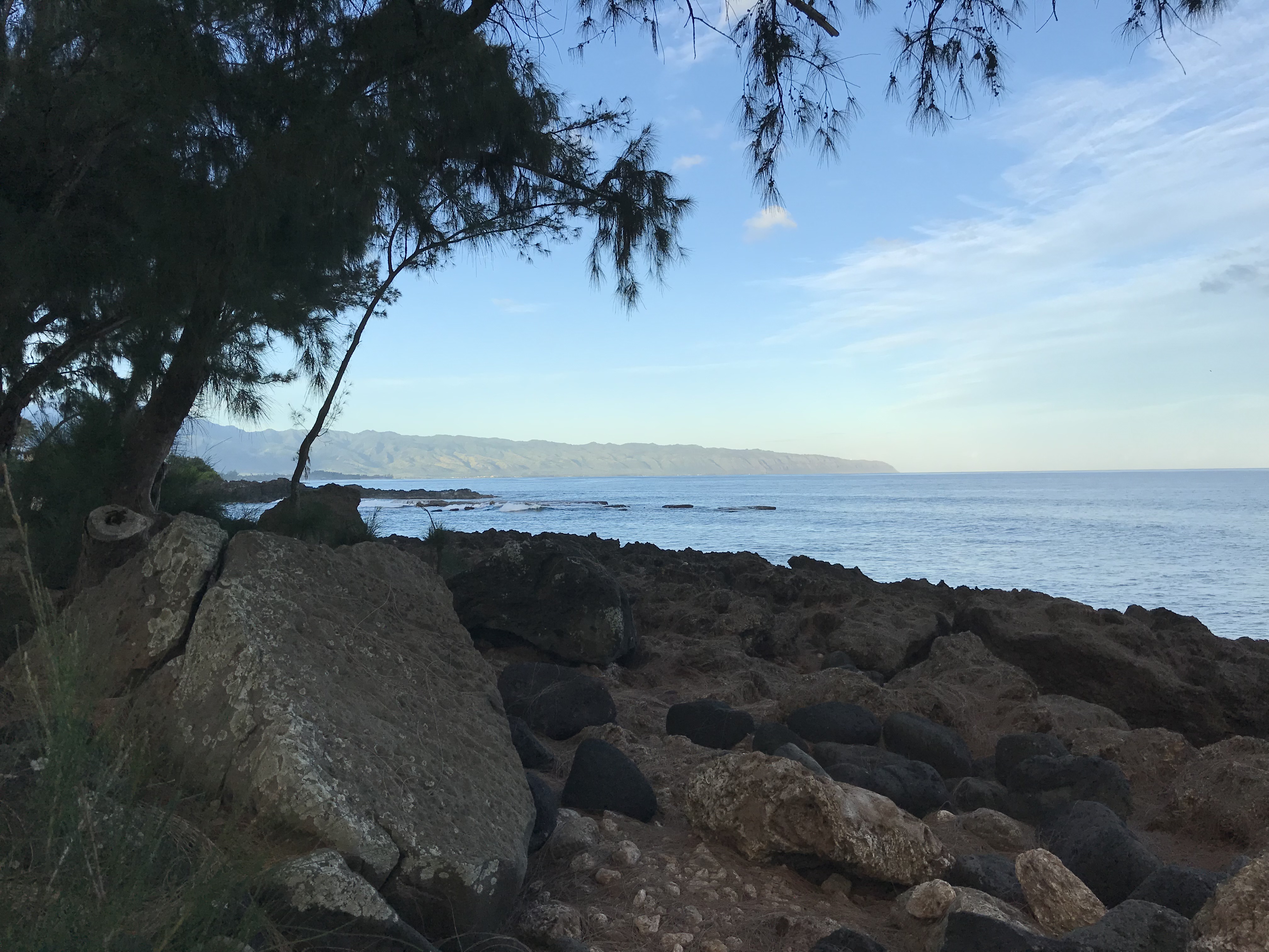
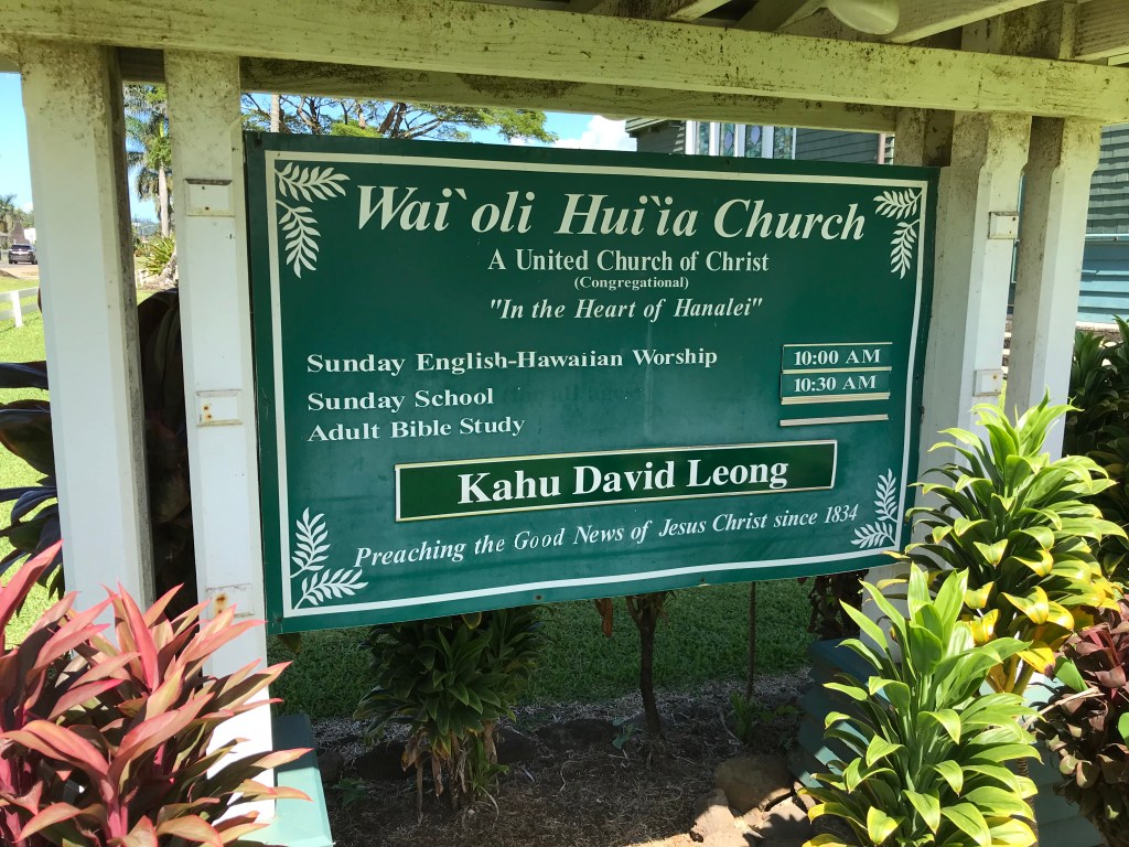
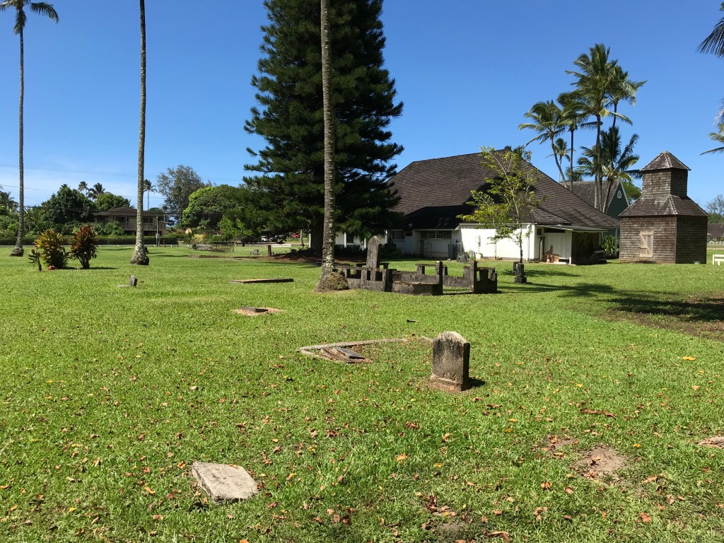
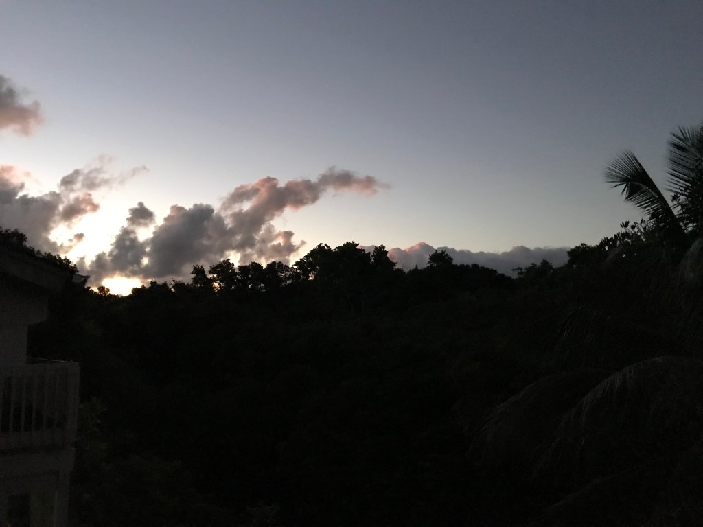
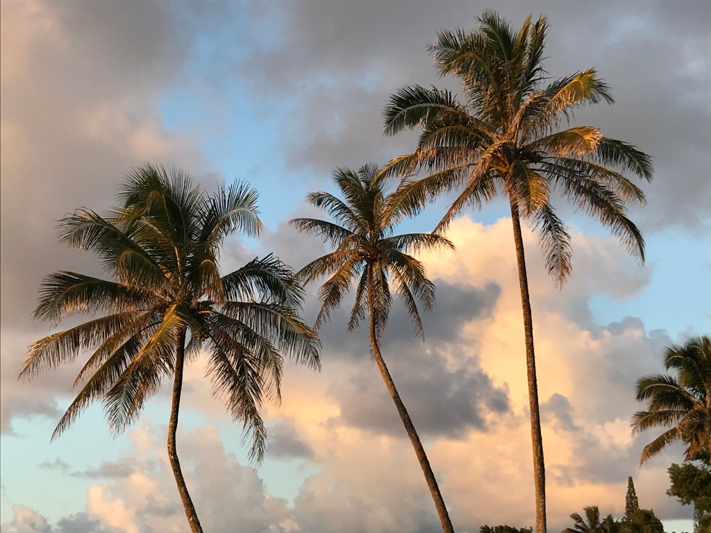
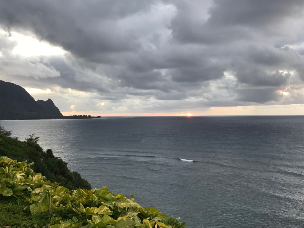
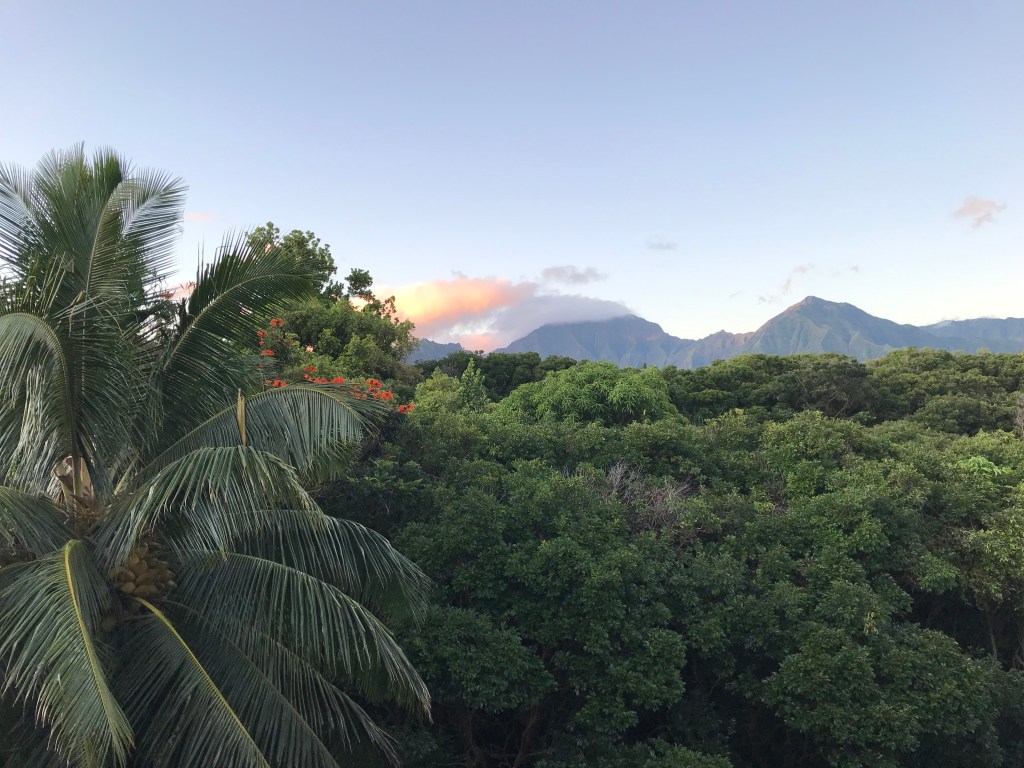
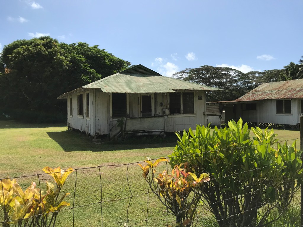
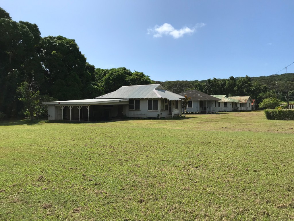
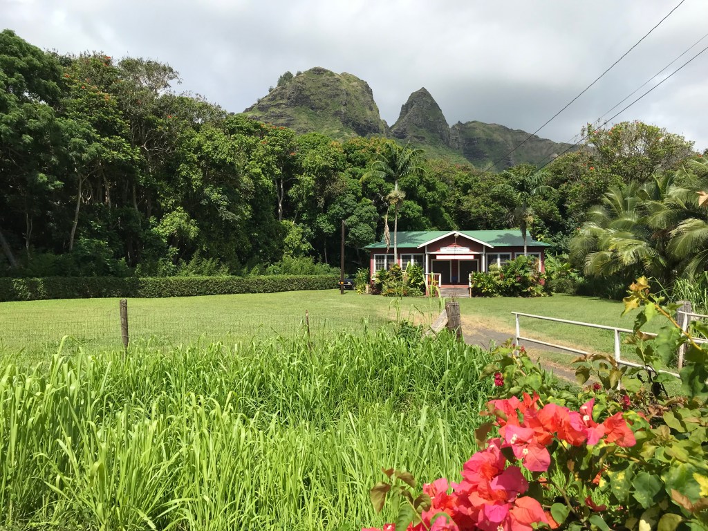
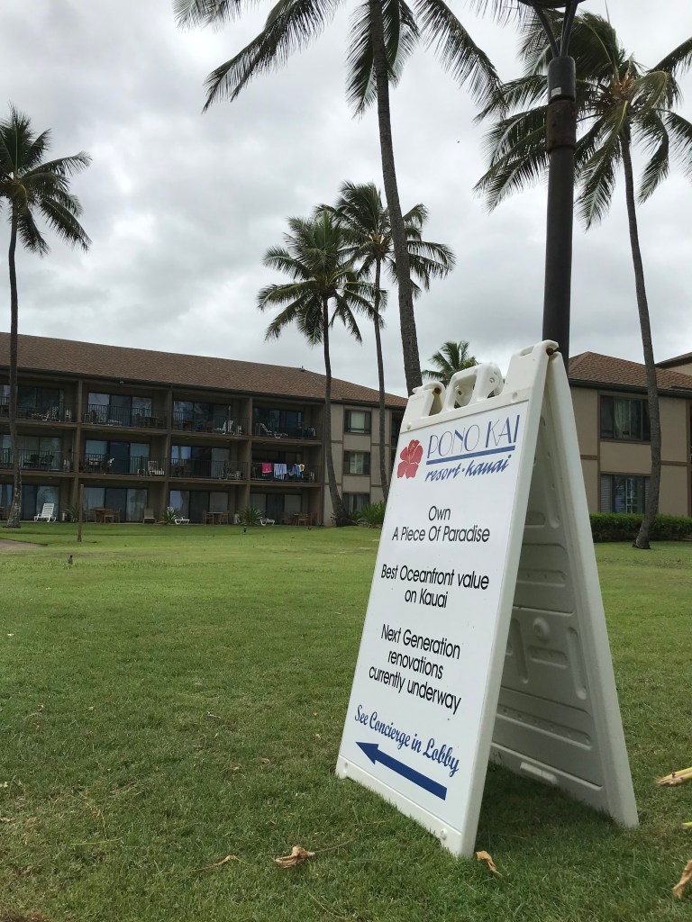
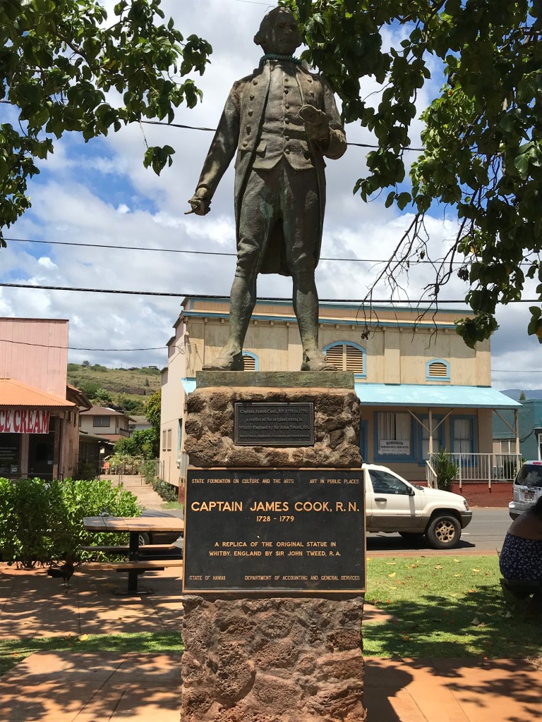
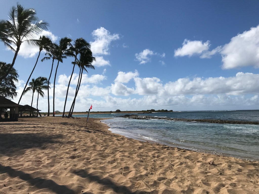
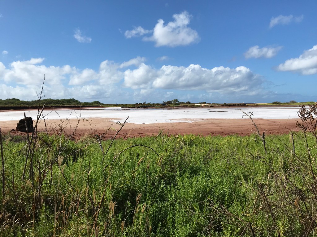
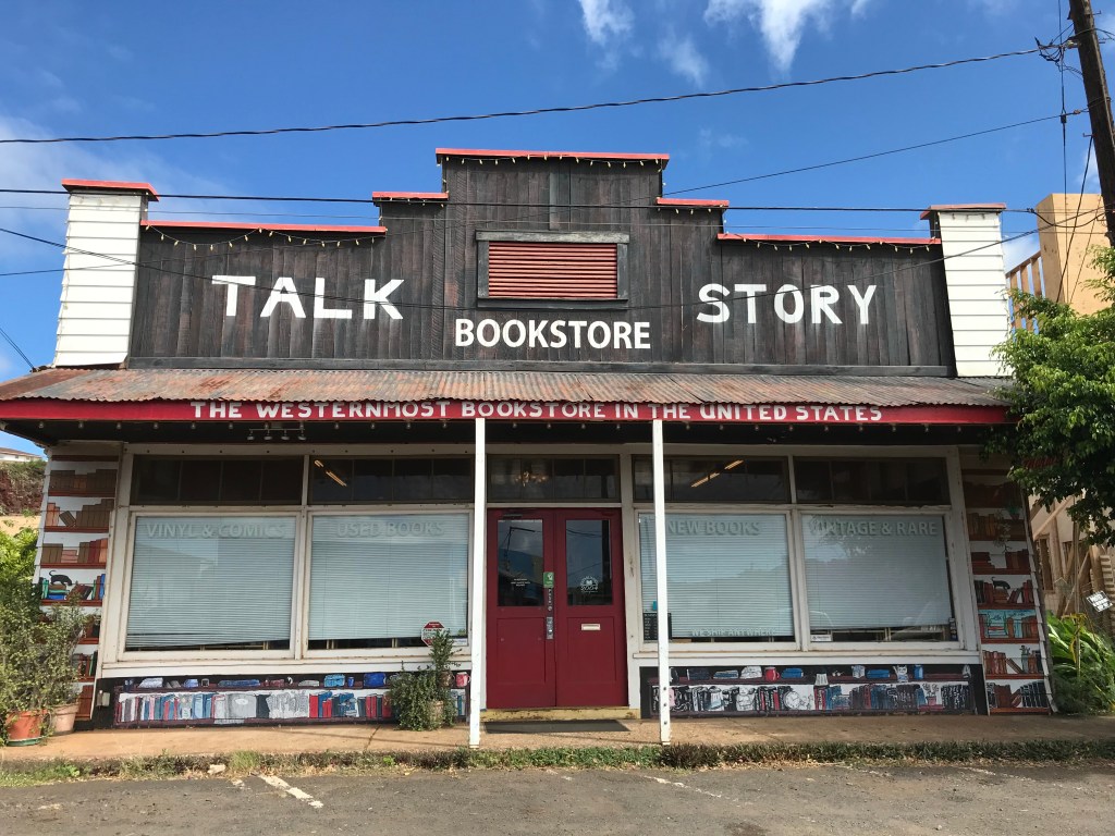
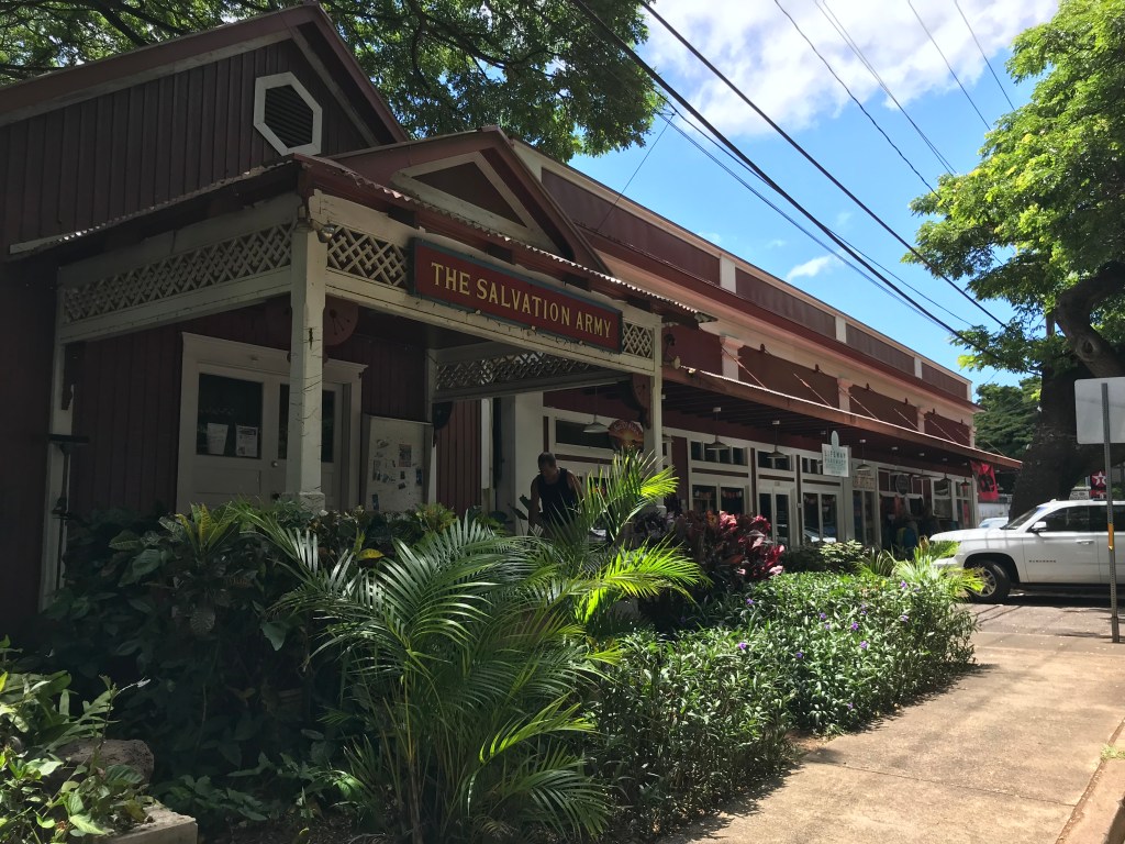
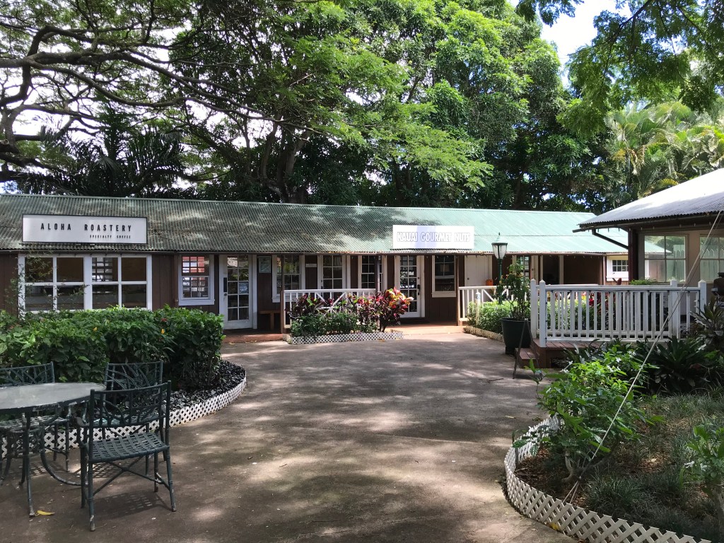
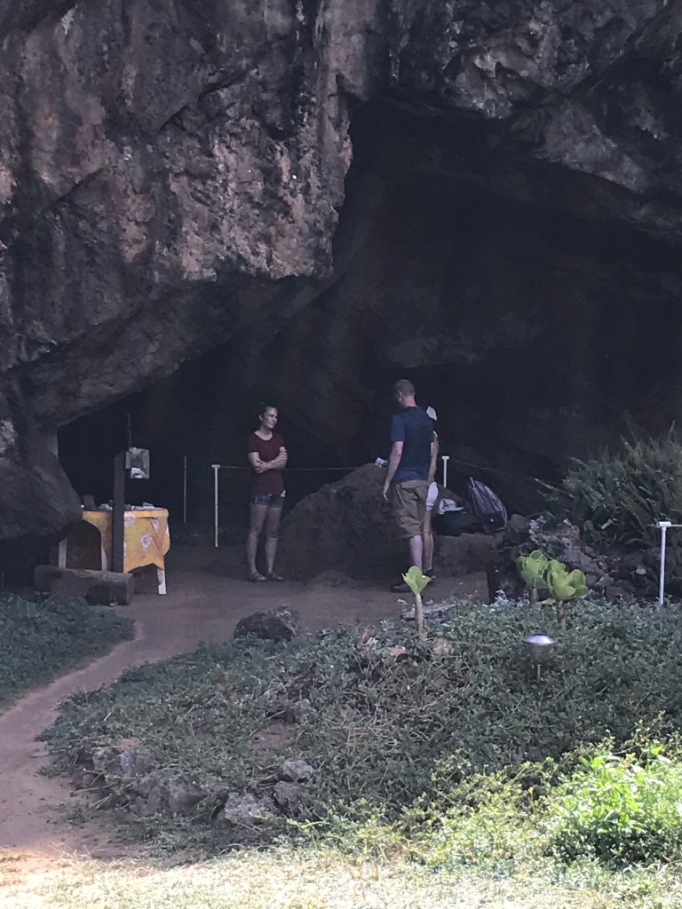
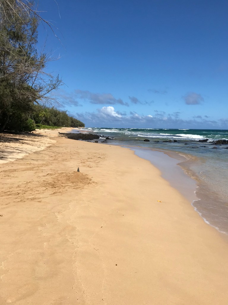
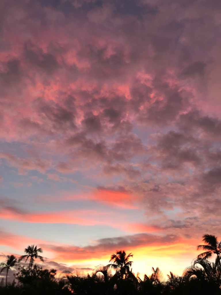
Kailua town visit.
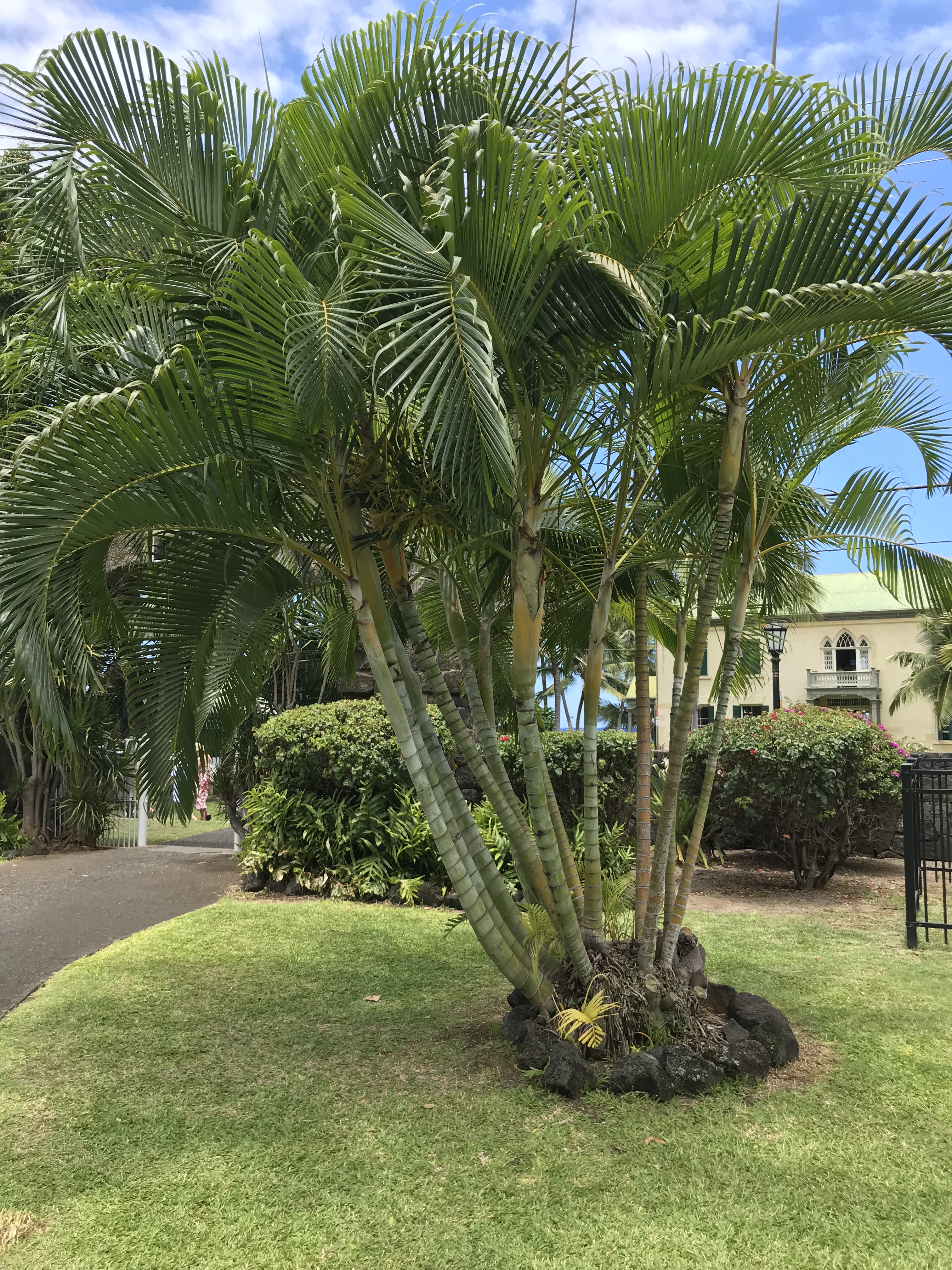
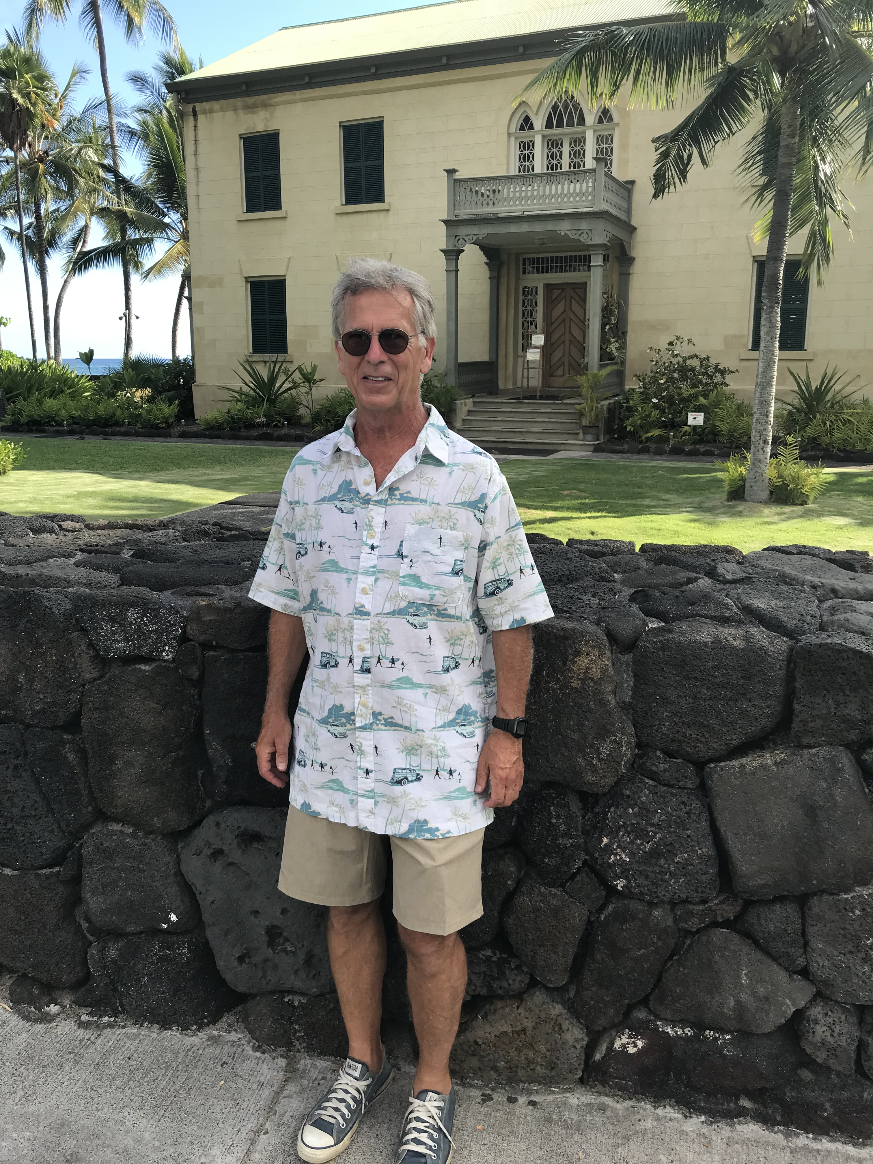
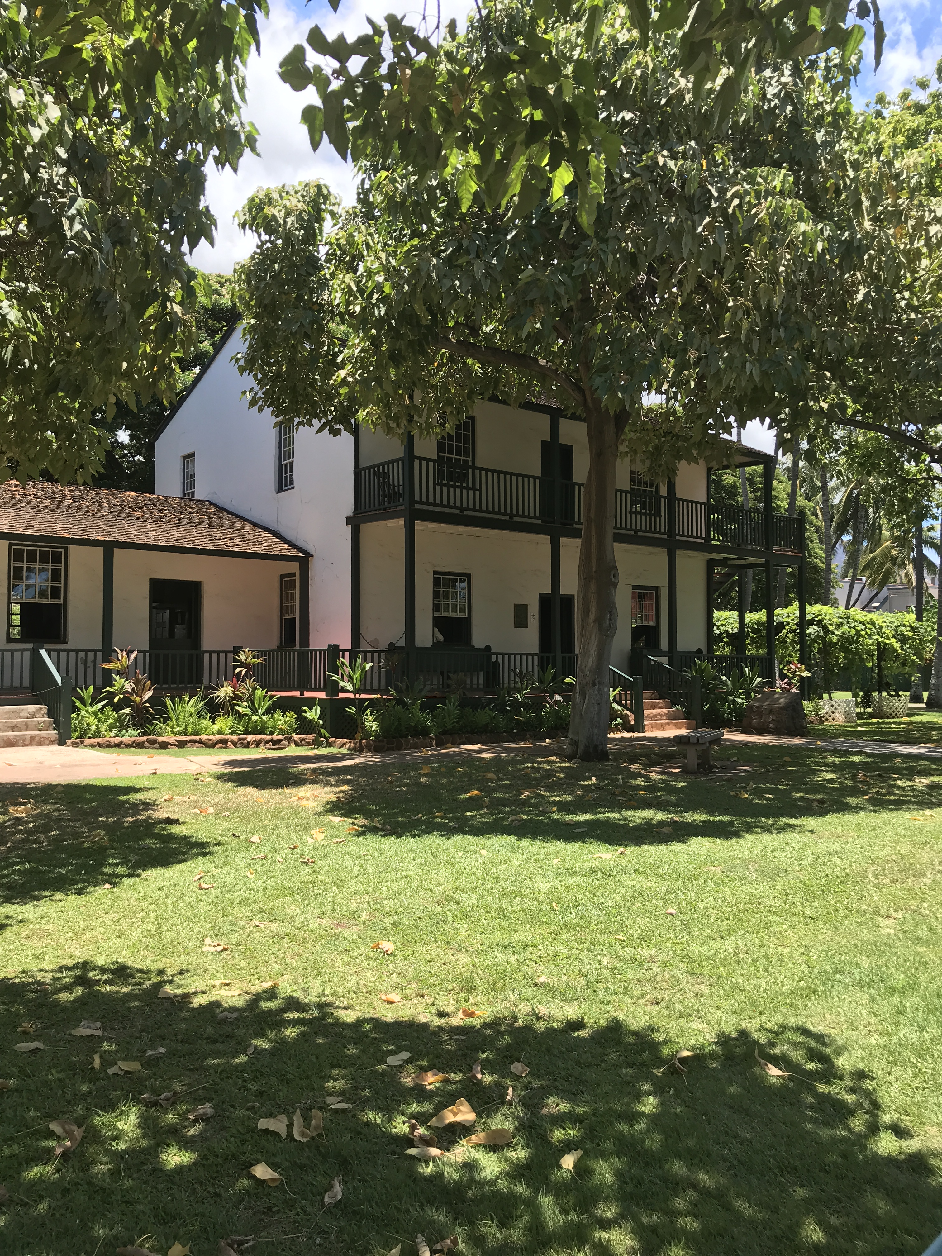
On the grounds of Huliheʻe Palace. The former vacation home of Hawaiian royalty, 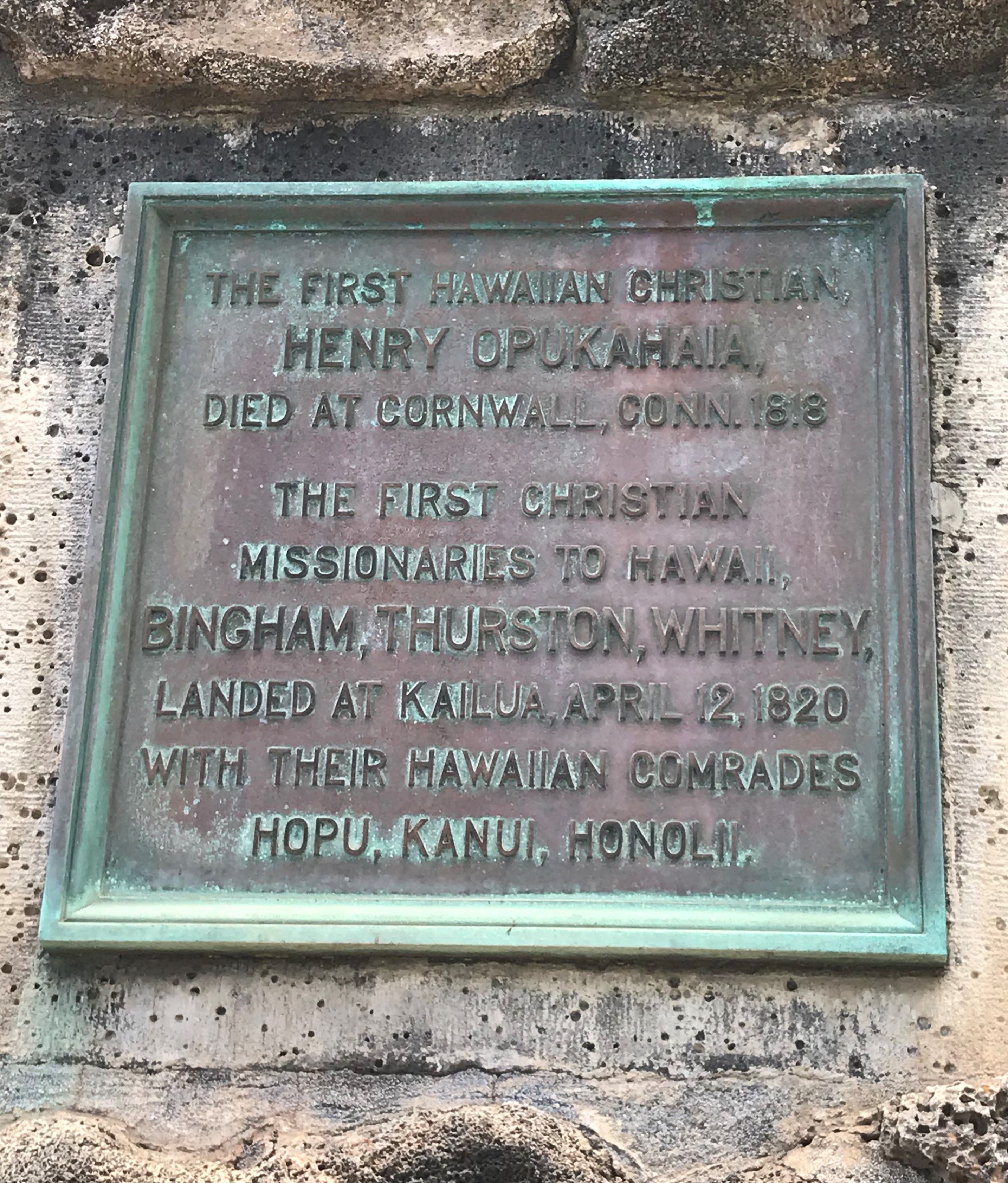
Opposite, across Ali’i Drive is this plaque at the entrance of Mokuaikaua Church 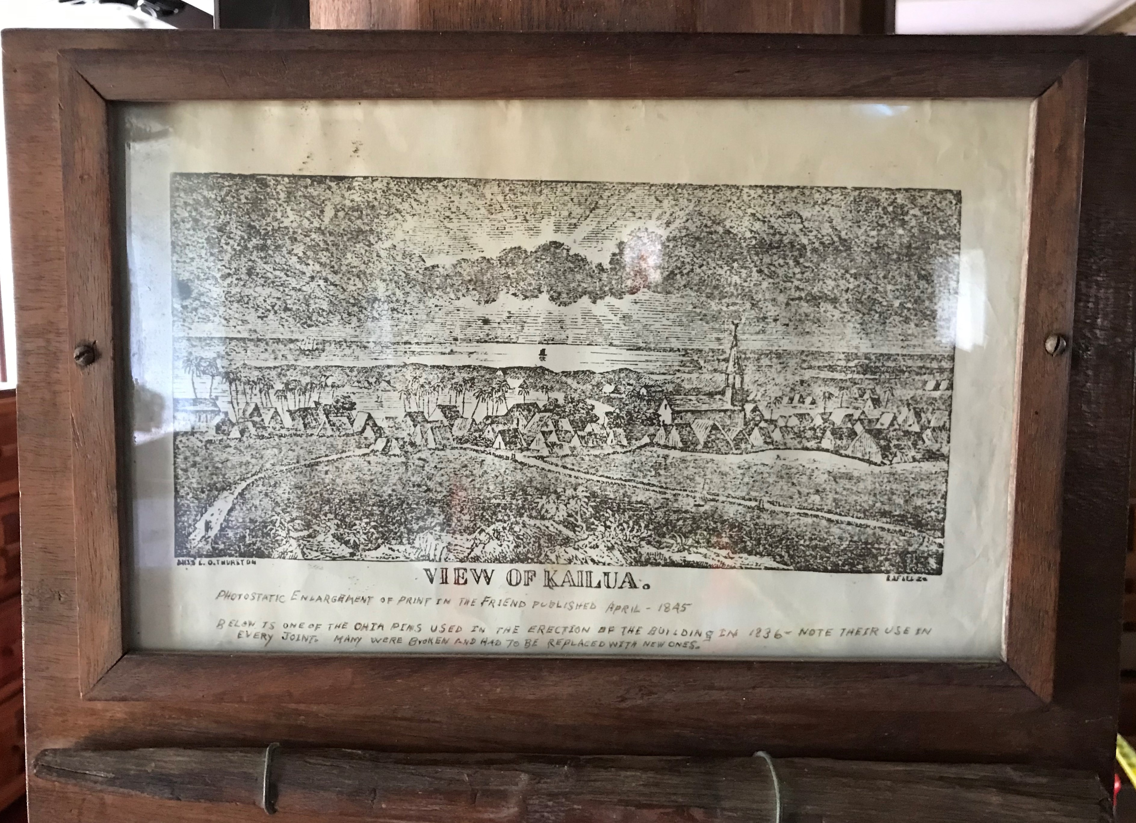
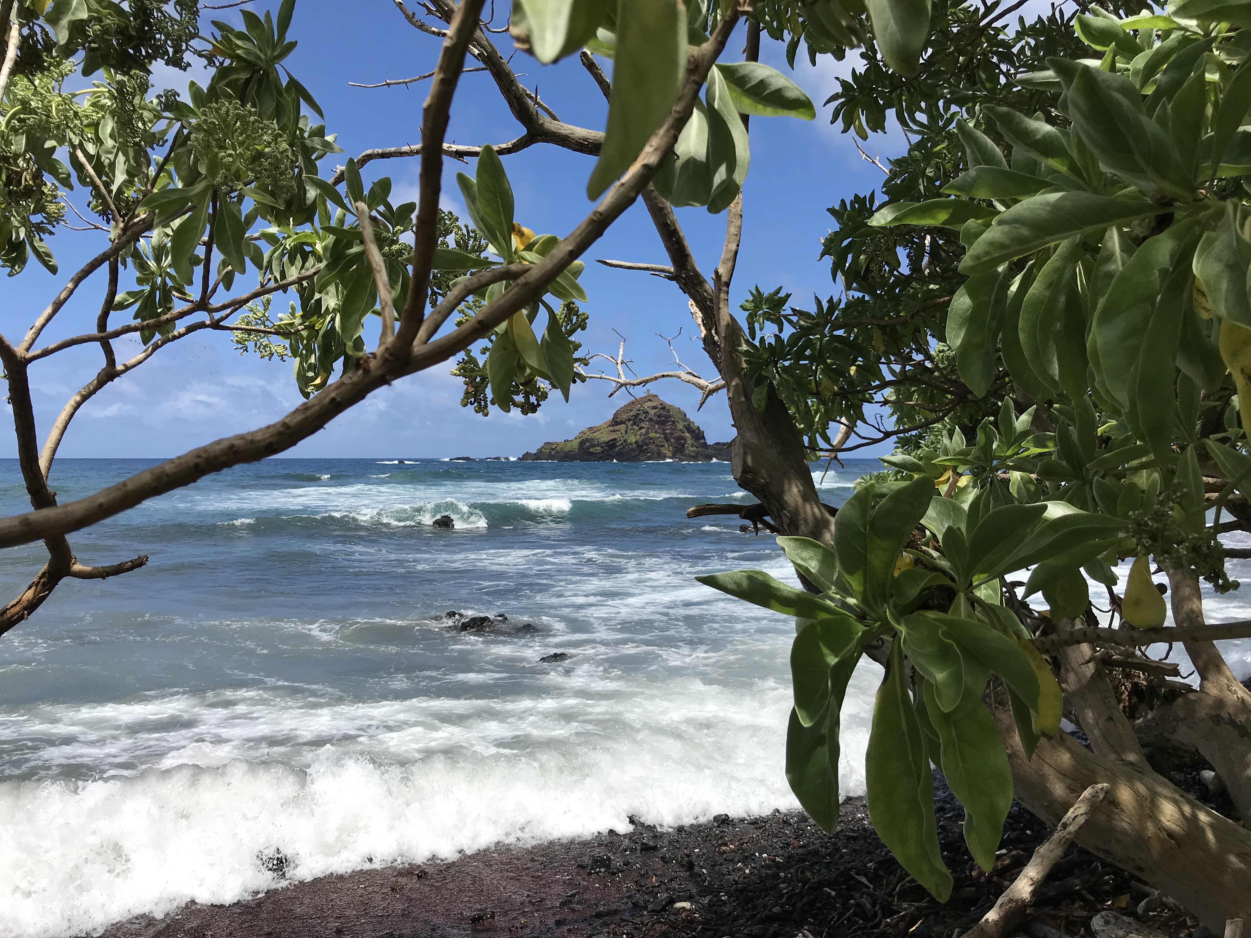
1845 print of Kailua 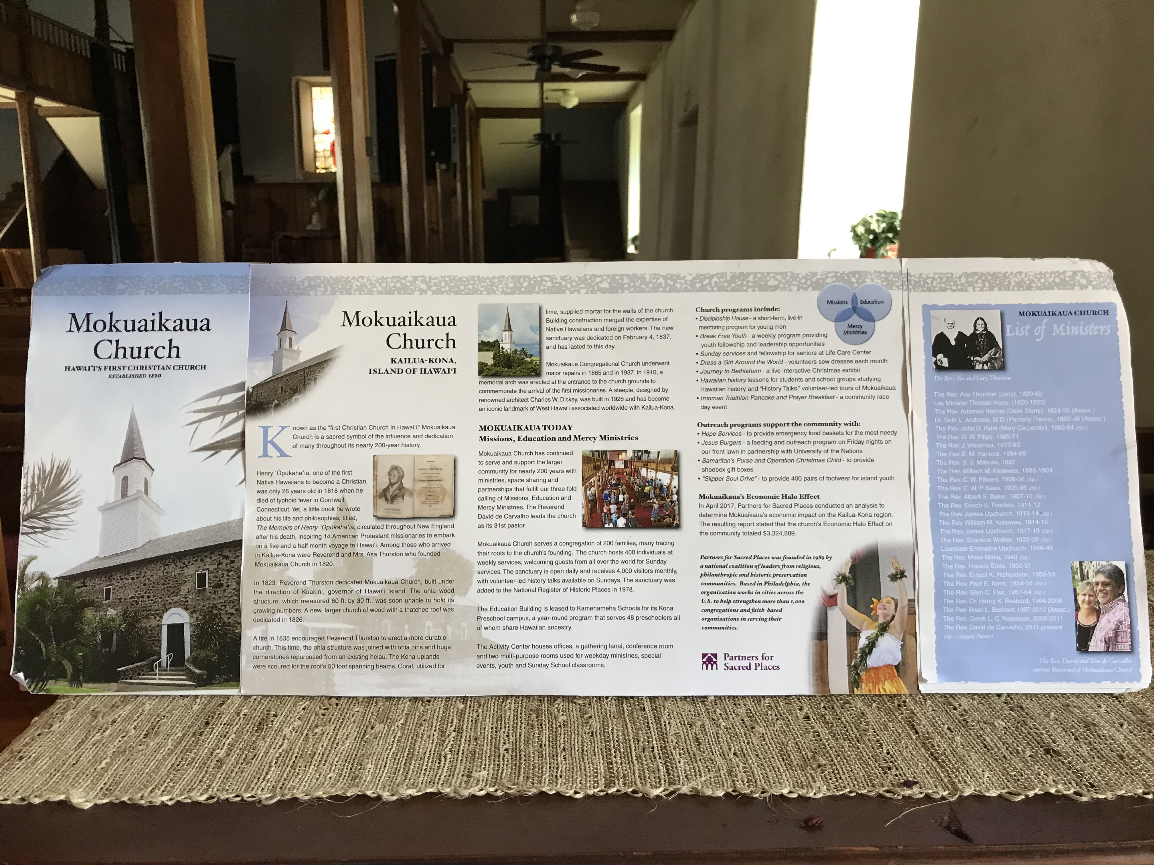
Kailua town visit.
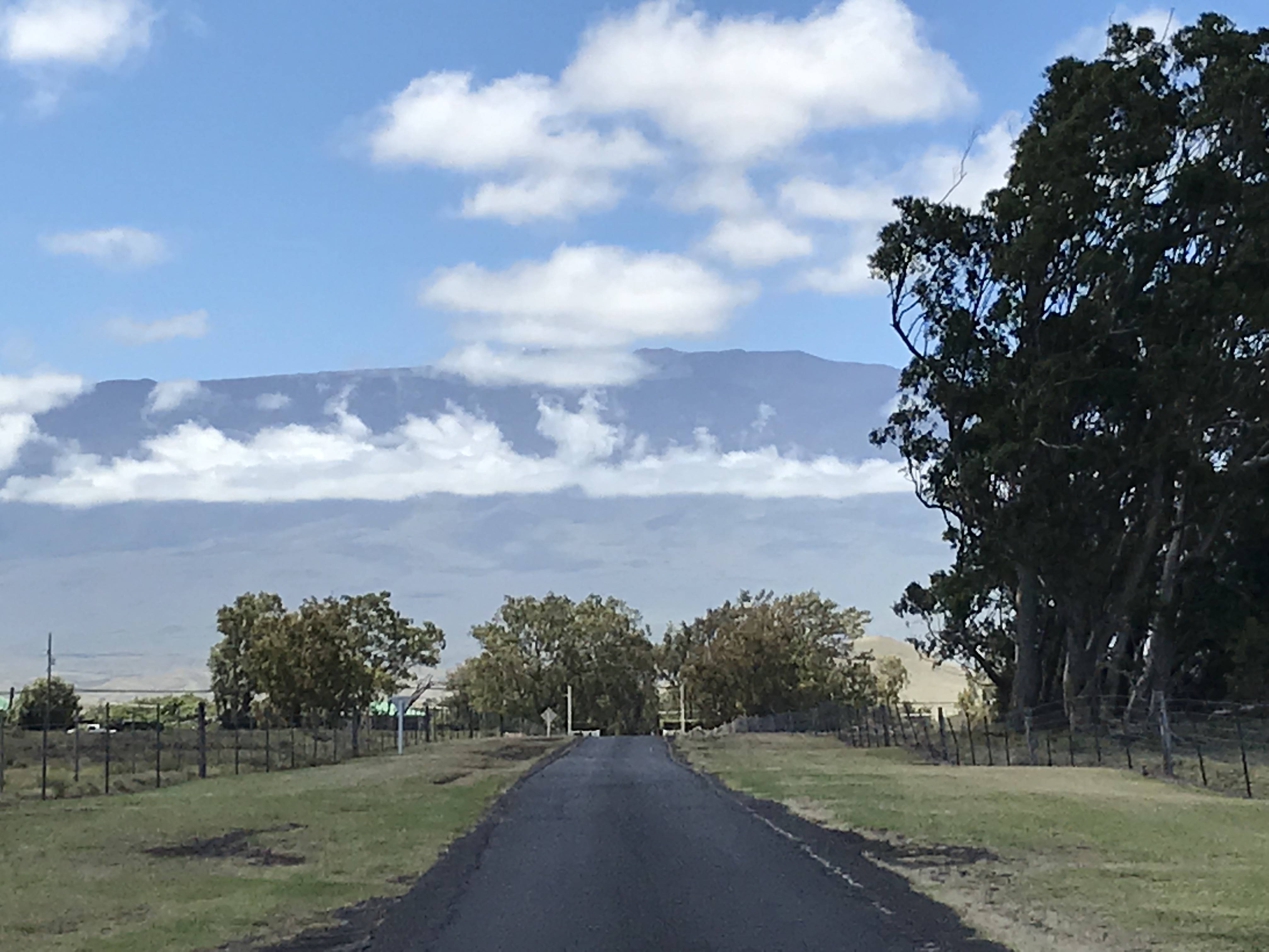
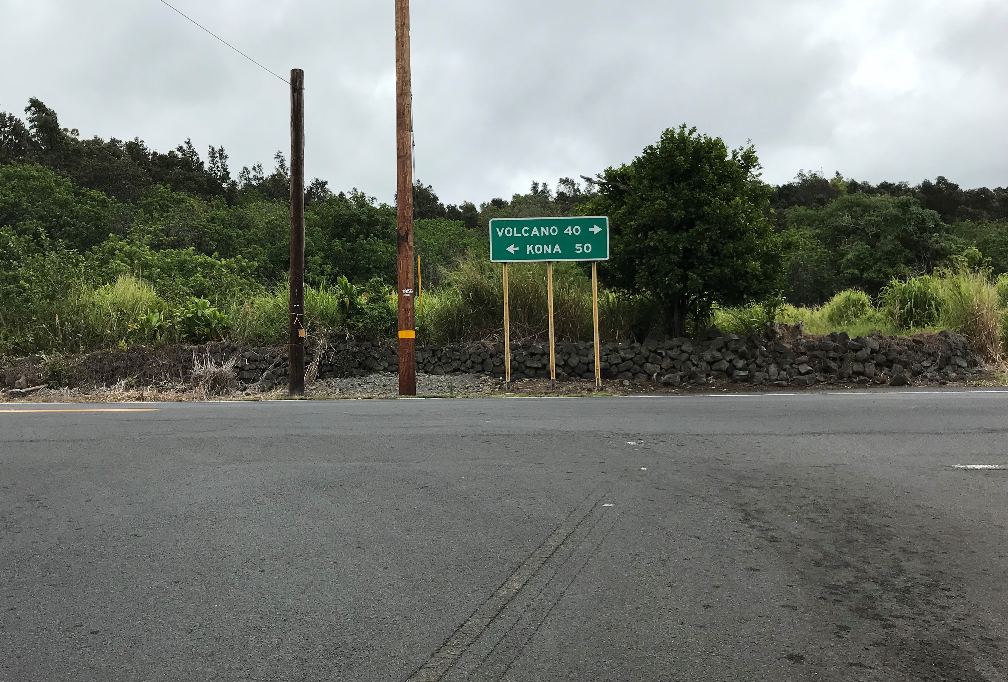
In planning Sharon’s vacation on the Big Island I thought it might be nice to find a place near Hilo, said to be the wettest city in the US with 127″ of annual rainfall, to explore the windward side then move across the island to the drier Kailua-Kona side and its 27″ total. Hawaii, as I soon found out when I began my own visit here, is a very Big Island! Choosing what to do and see while here is much different than when on O’ahu, where I could look at that days weather forecast over morning coffee and pick something that was best to do. Here on the Big Island that decision takes more planning ahead. Sharon and I did much of what we wanted to do when in Hilo maybe a couple of places we missed because of time but our days were busy. I am also happy that we have been spending time together planning and eating meals we have made for ourselves at the Honu House and now here at Nahale Place. Today’s day plan has us out by 8 a.m. for the hour drive to the Parker Ranch and Waimea, both lying at the base of the Kohala mountains. From there we drive north to the towns of Kapa au and Hawi (where I stayed last month), ending with the beach at the Mauna Kea Resort. My best beach for both islands, Hawaii and O’ahu.
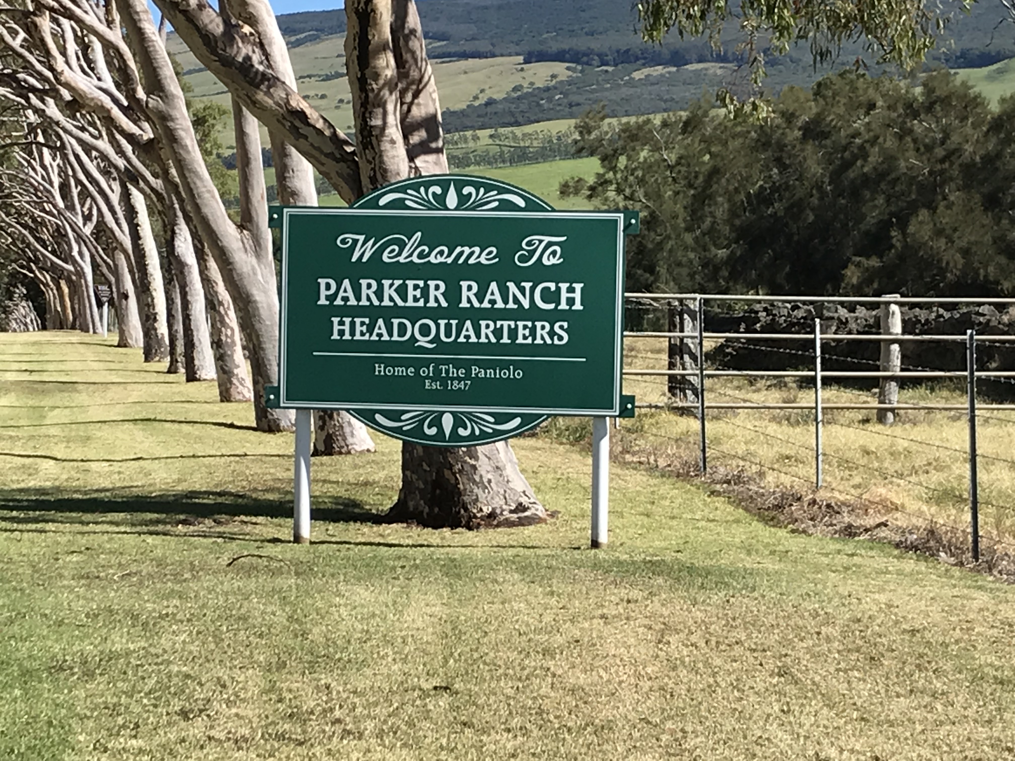
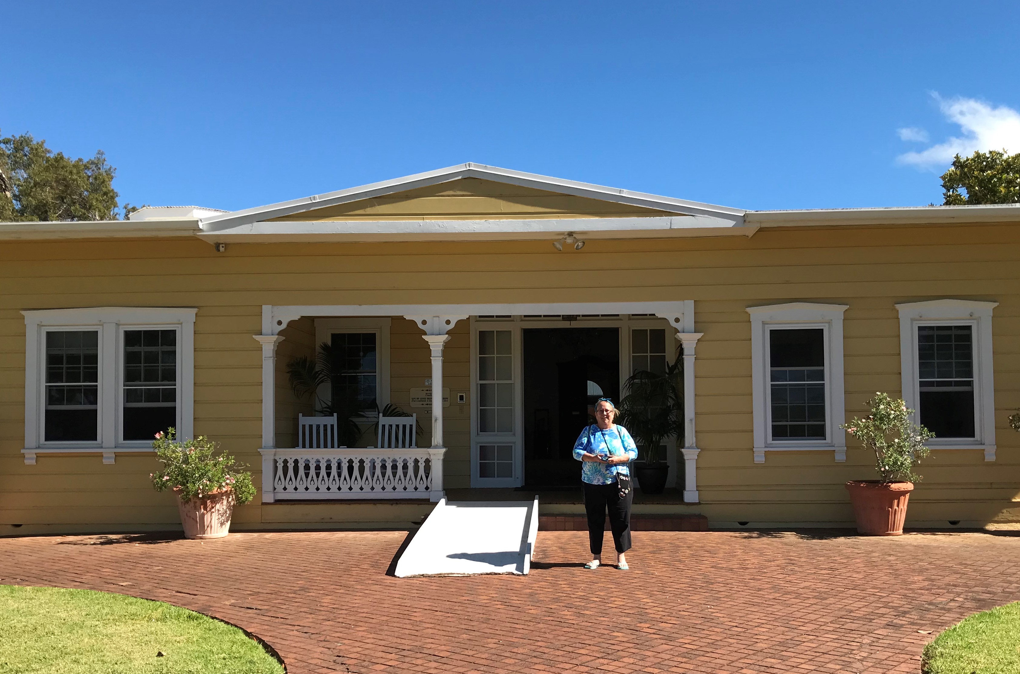

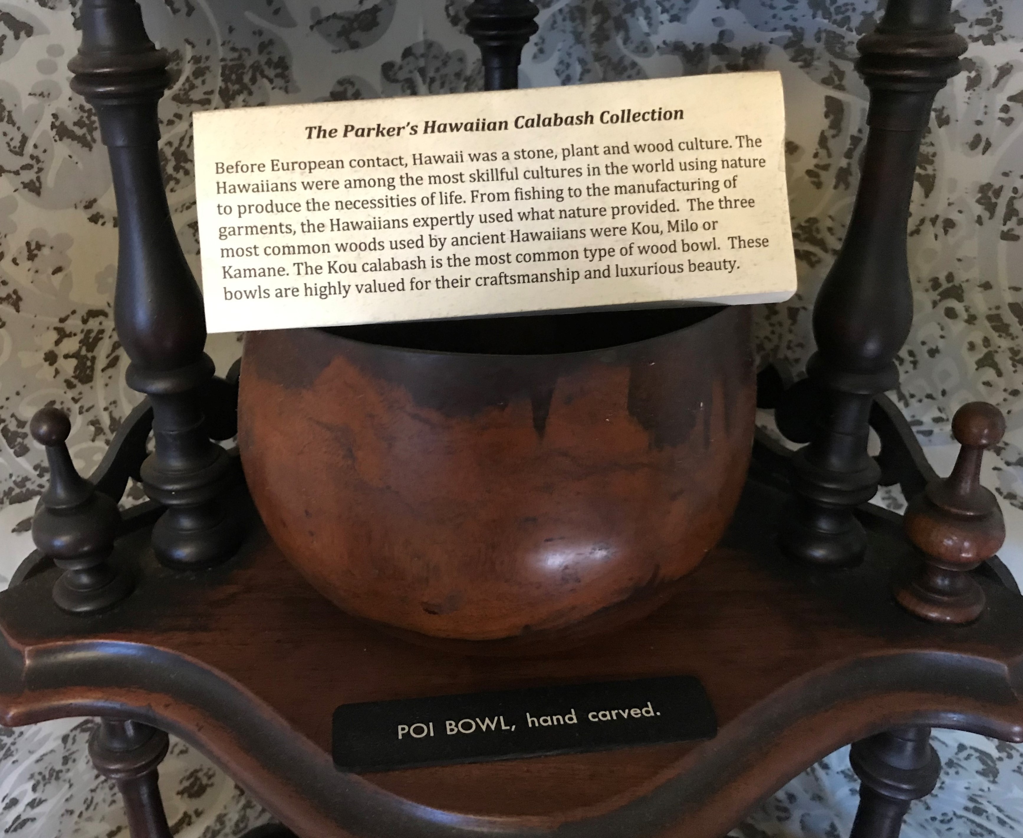
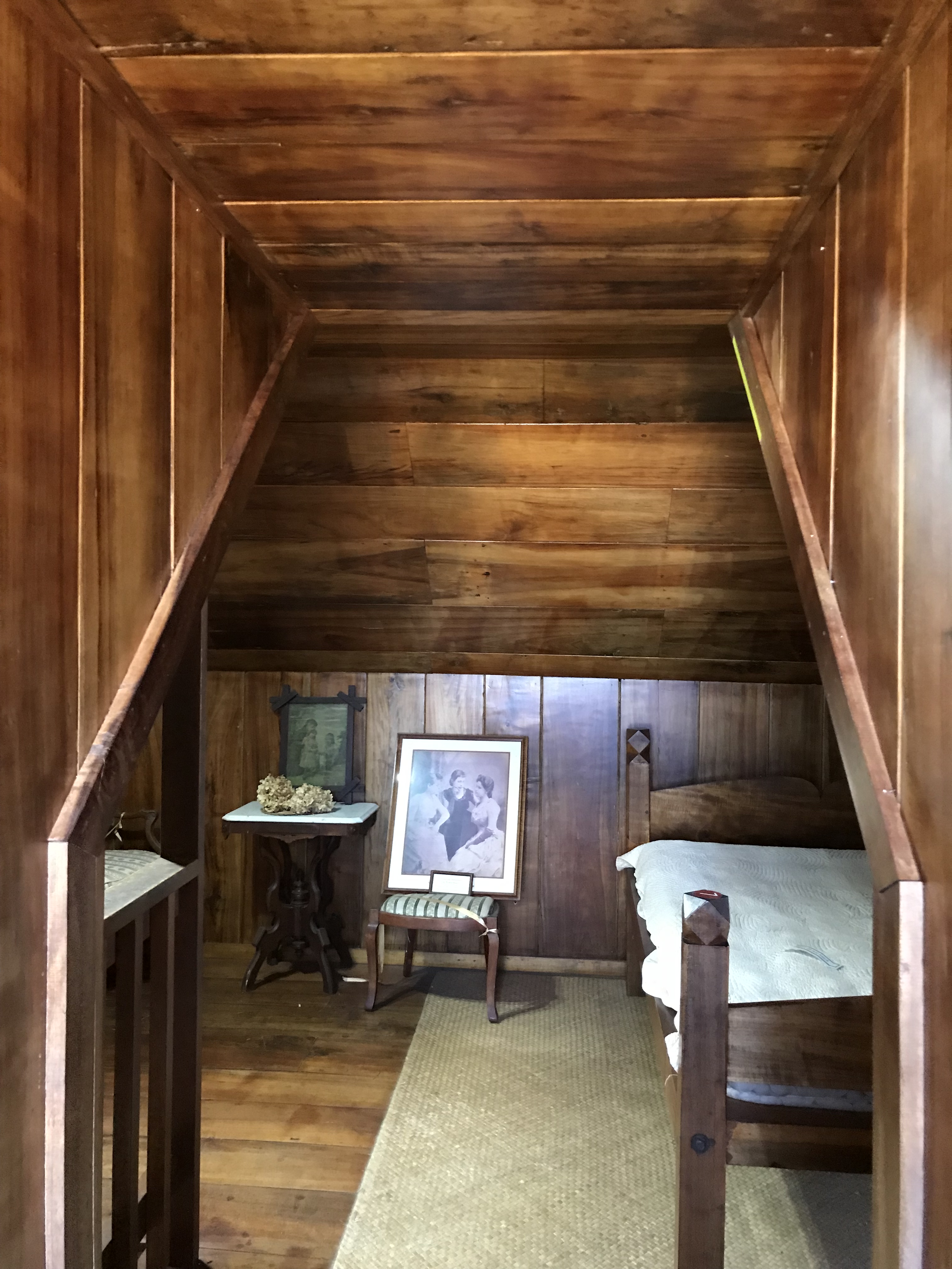


Richard Smart was the last living direct heir of John Palmer Parker I he had Mana Hale which was built by his great-great-great grandfather moved to its present location at the ranch headquarters. The entire interior, floor to ceiling, was constructed of koa wood.
links: https://www.onlyinyourstate.com/hawaii/parker-ranch-hi/ https://parkerranch.com/legacy/history-of/ https://en.wikipedia.org/wiki/Samuel_Parker_(Hawaii)
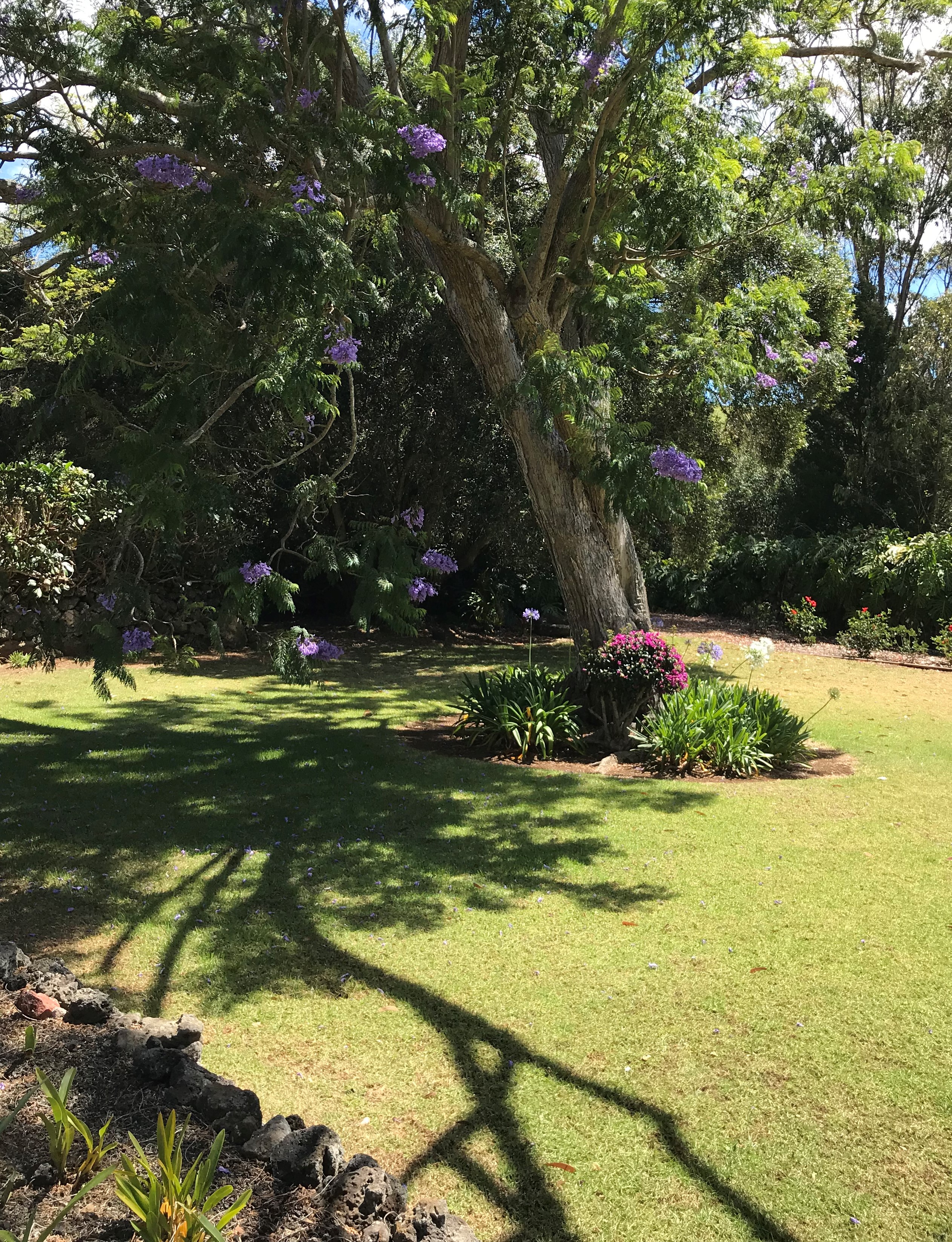

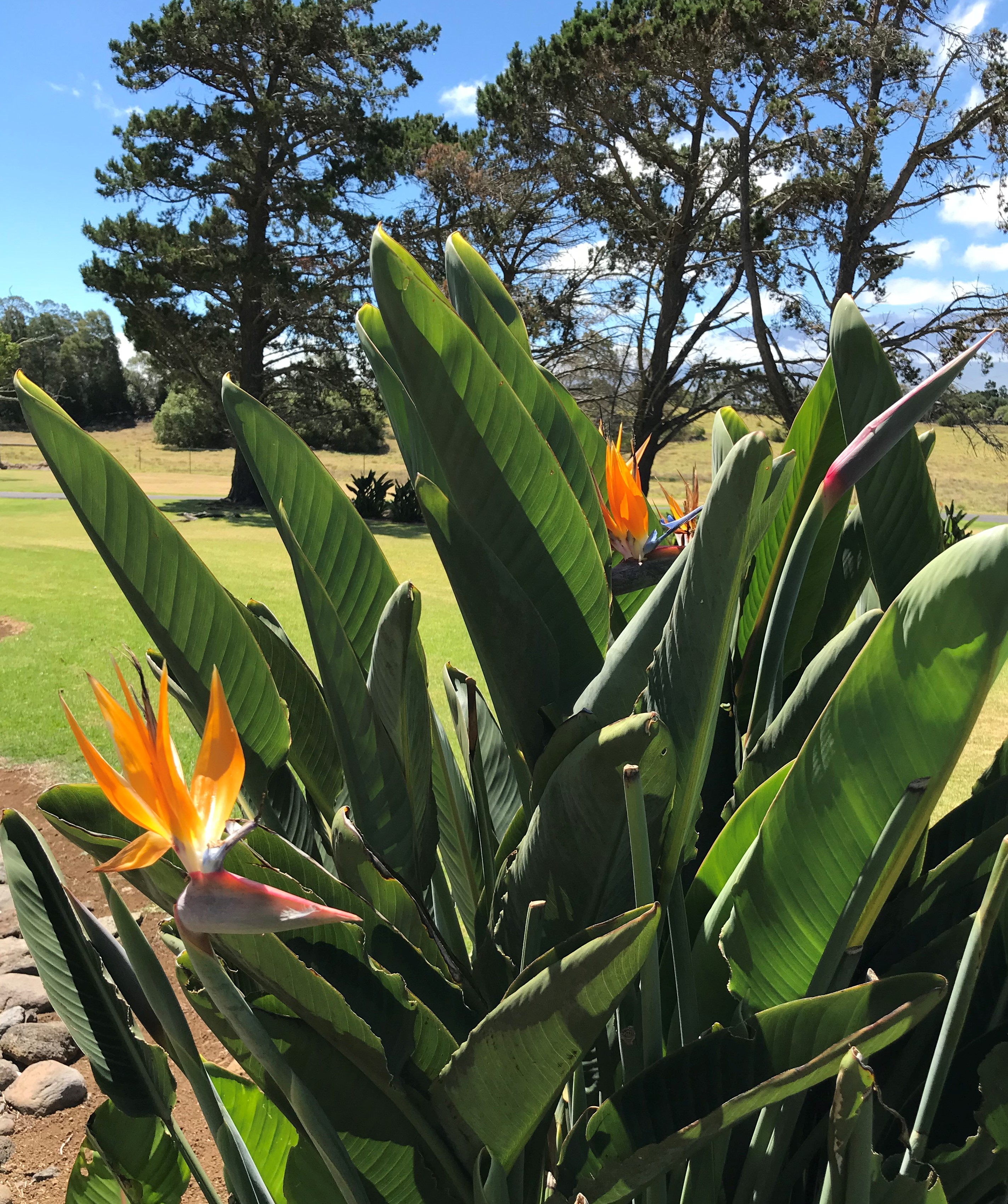
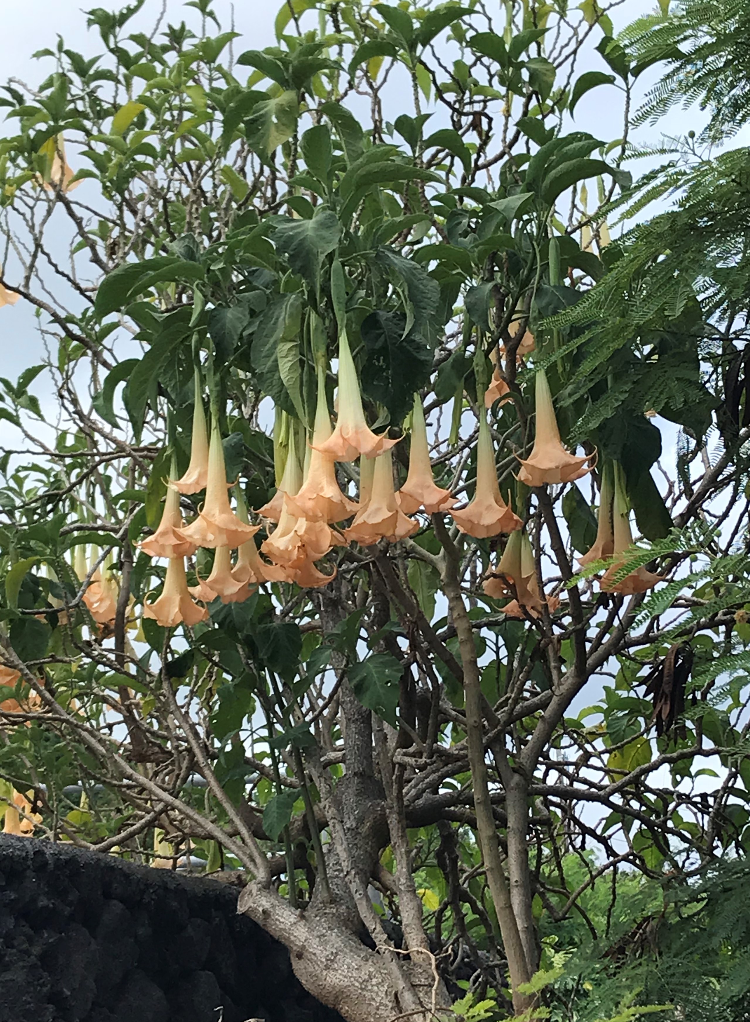
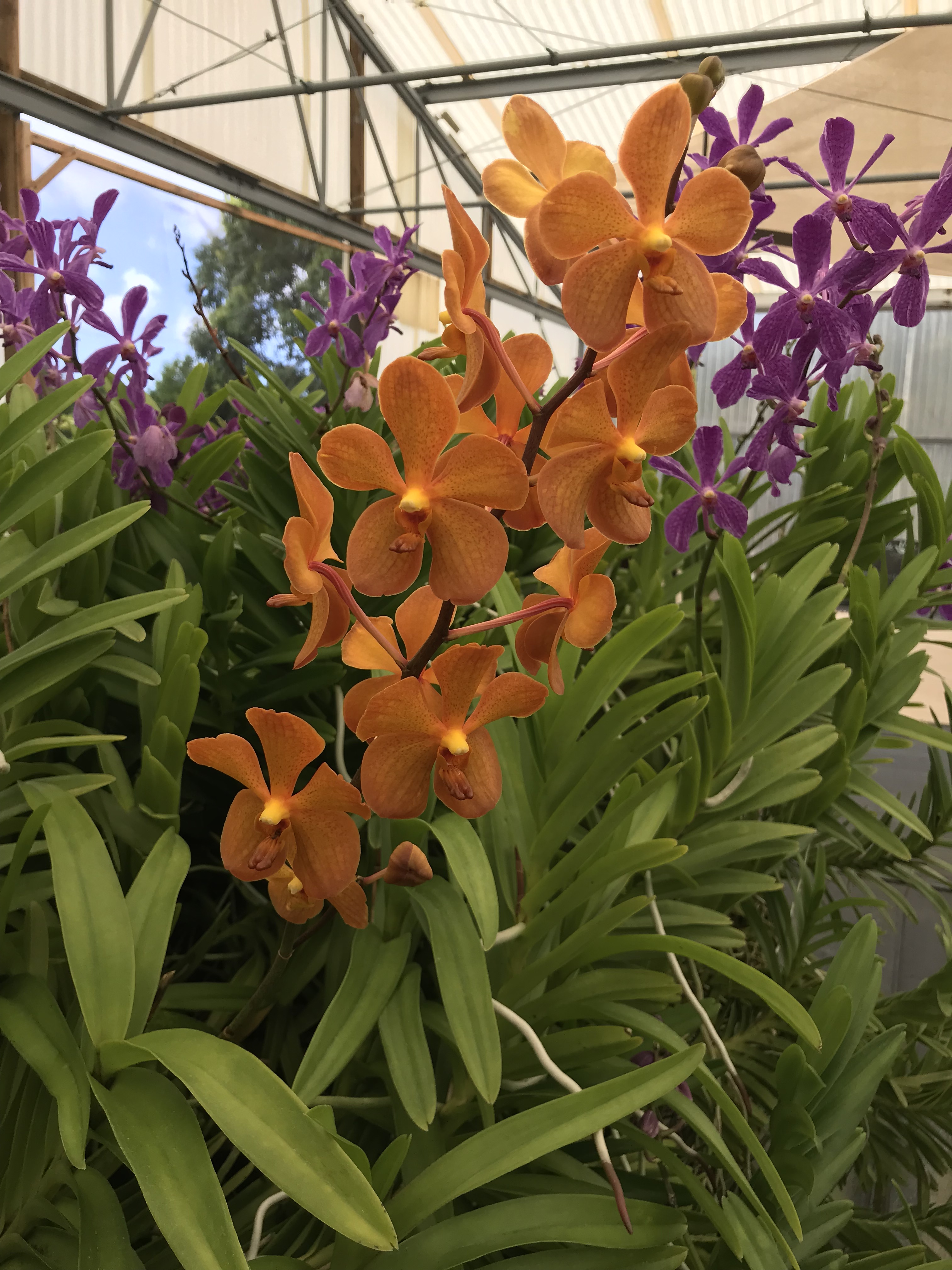
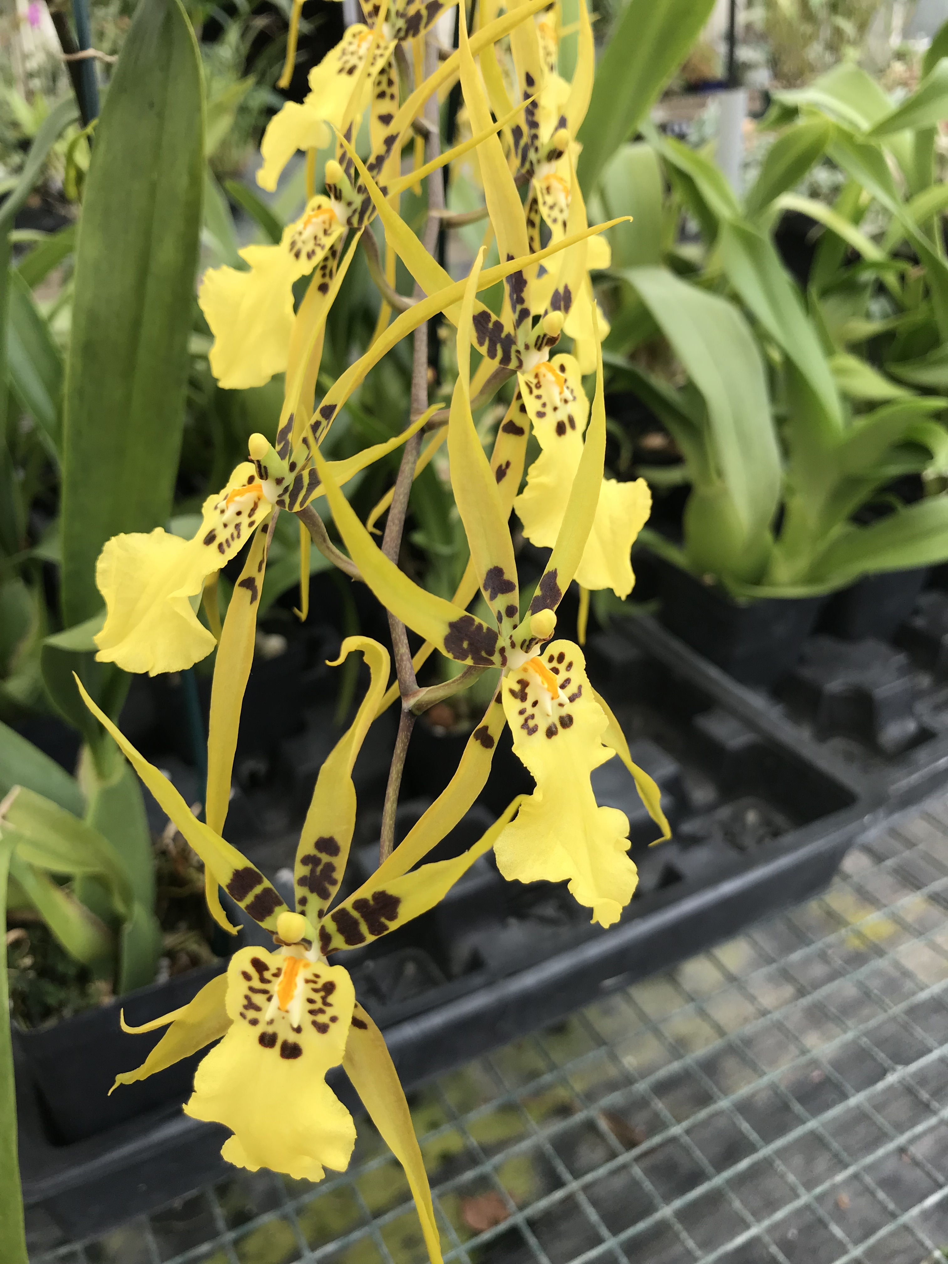
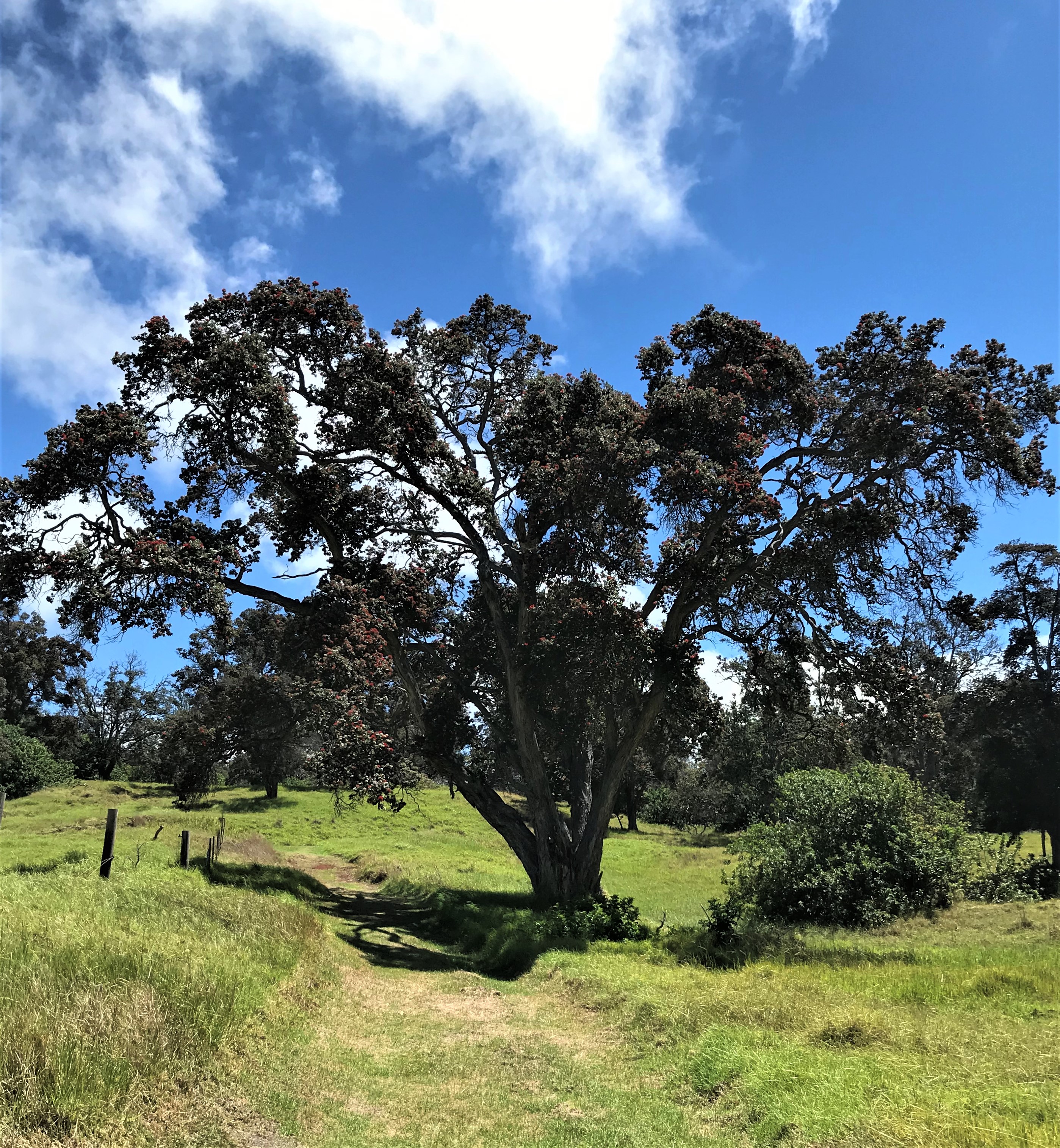
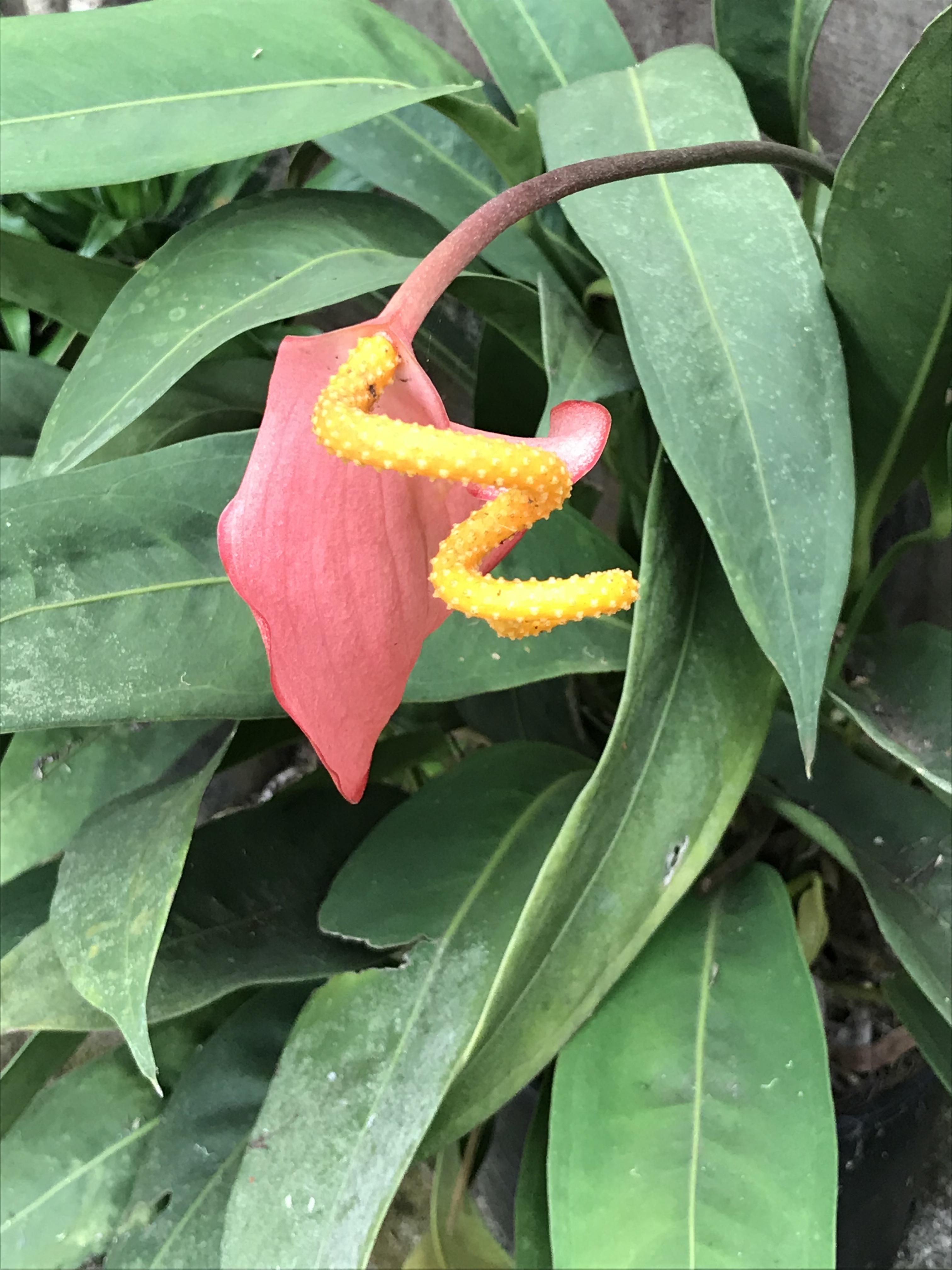
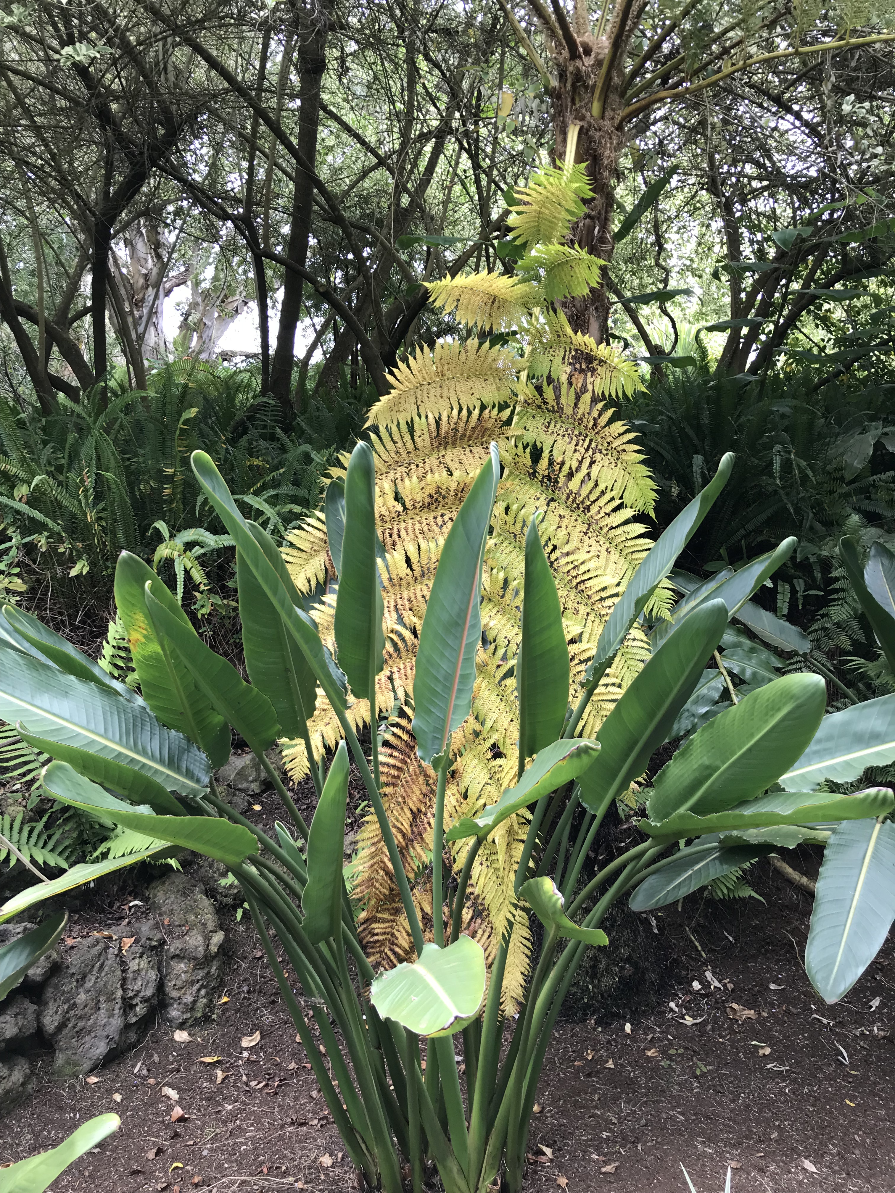
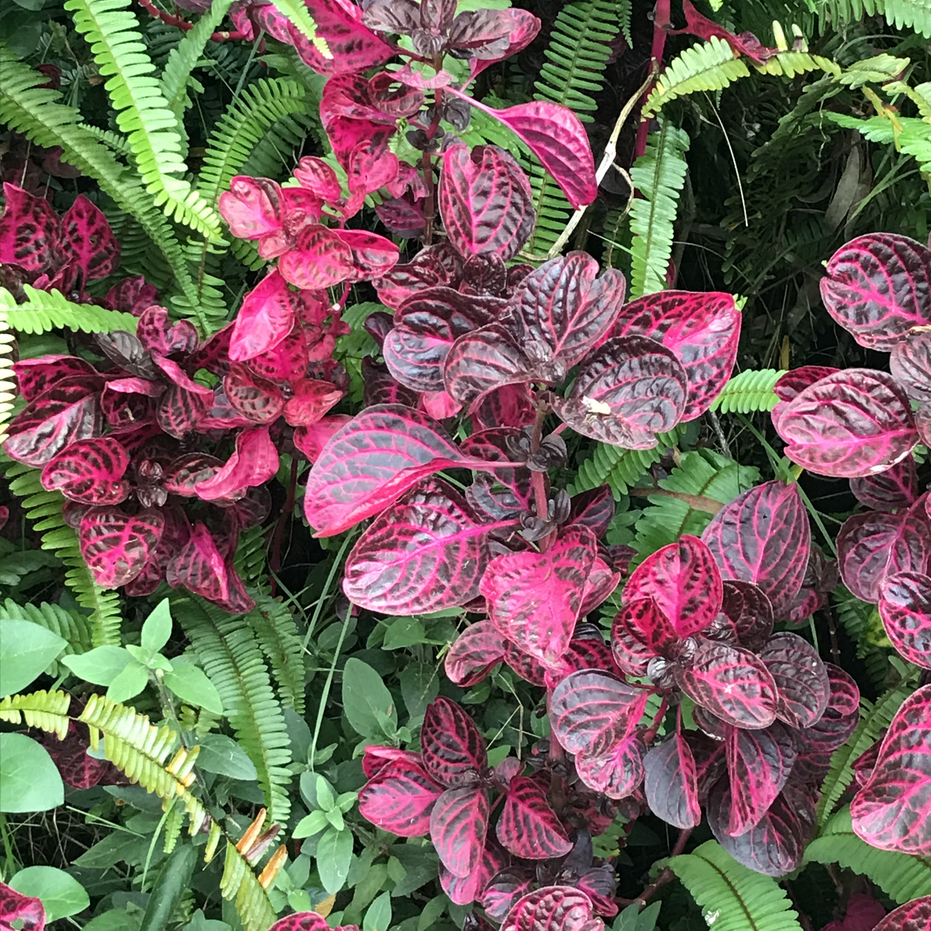
Flowers and trees around the Parker Ranch buildings.
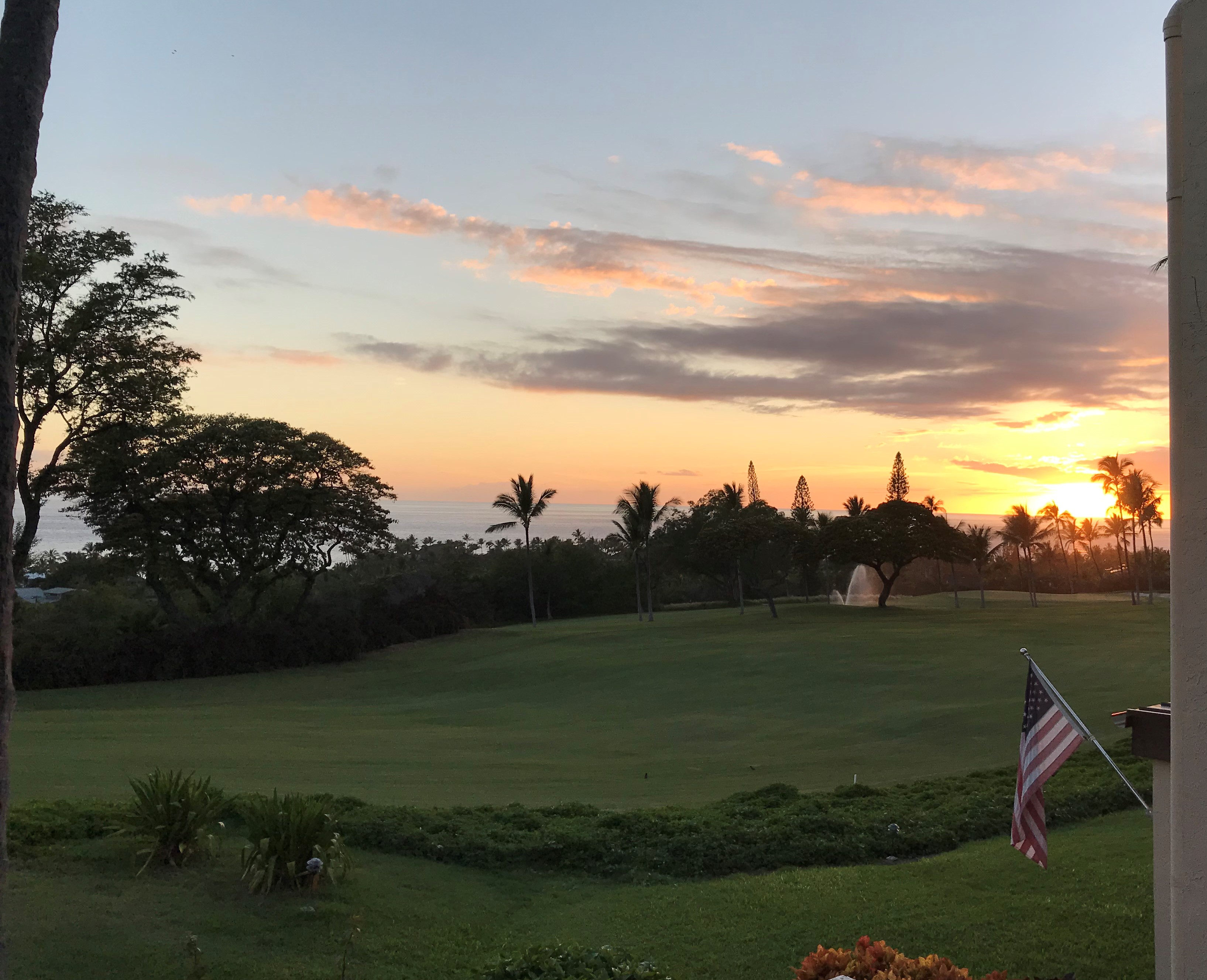
After leaving Parker Ranch we visited nearby Waimea town, followed with a drive north on road 250 through the Kohala Mountains to Kapa au and Hawi. Lunch in Hawi at the Sweet Potato Kitchen and Bakery, a delicious very large and healthy Veggie Go-Go sandwich served with pipinola dill pickles (a member of the gourd family, along with melons, cucumbers and squash). Topping the day off with a stop at my favorite beach. Kauna’oa Beach (https://www.lovebigisland.com/big-island-beaches/kaunaoa-maunakea-beach/), in the 1,800 acre Mauna Kea resort which was first leased by Richard Palmer Kaleioku Smart and the Parker Ranch to Laurance Rockefeller in 1961.

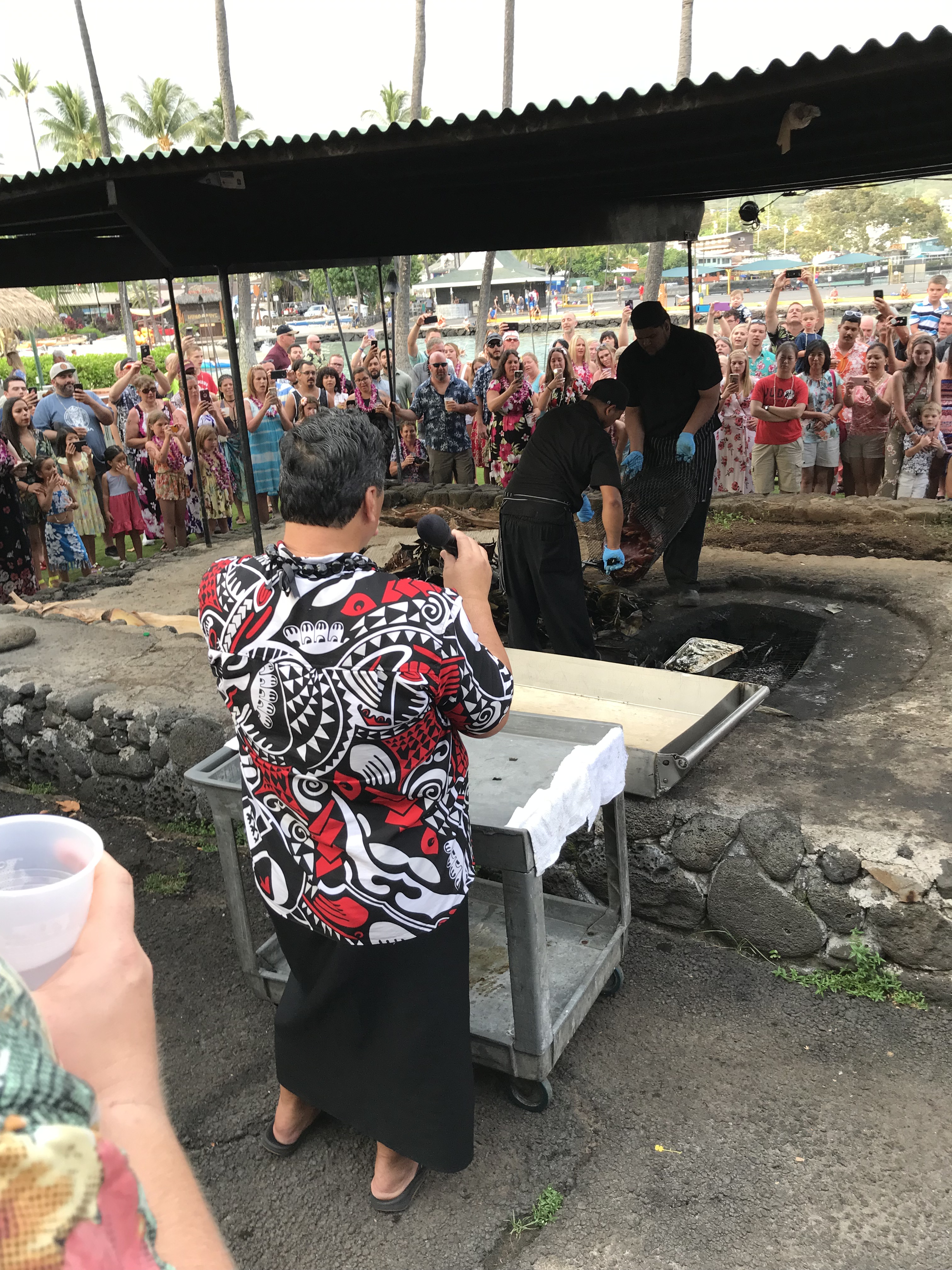
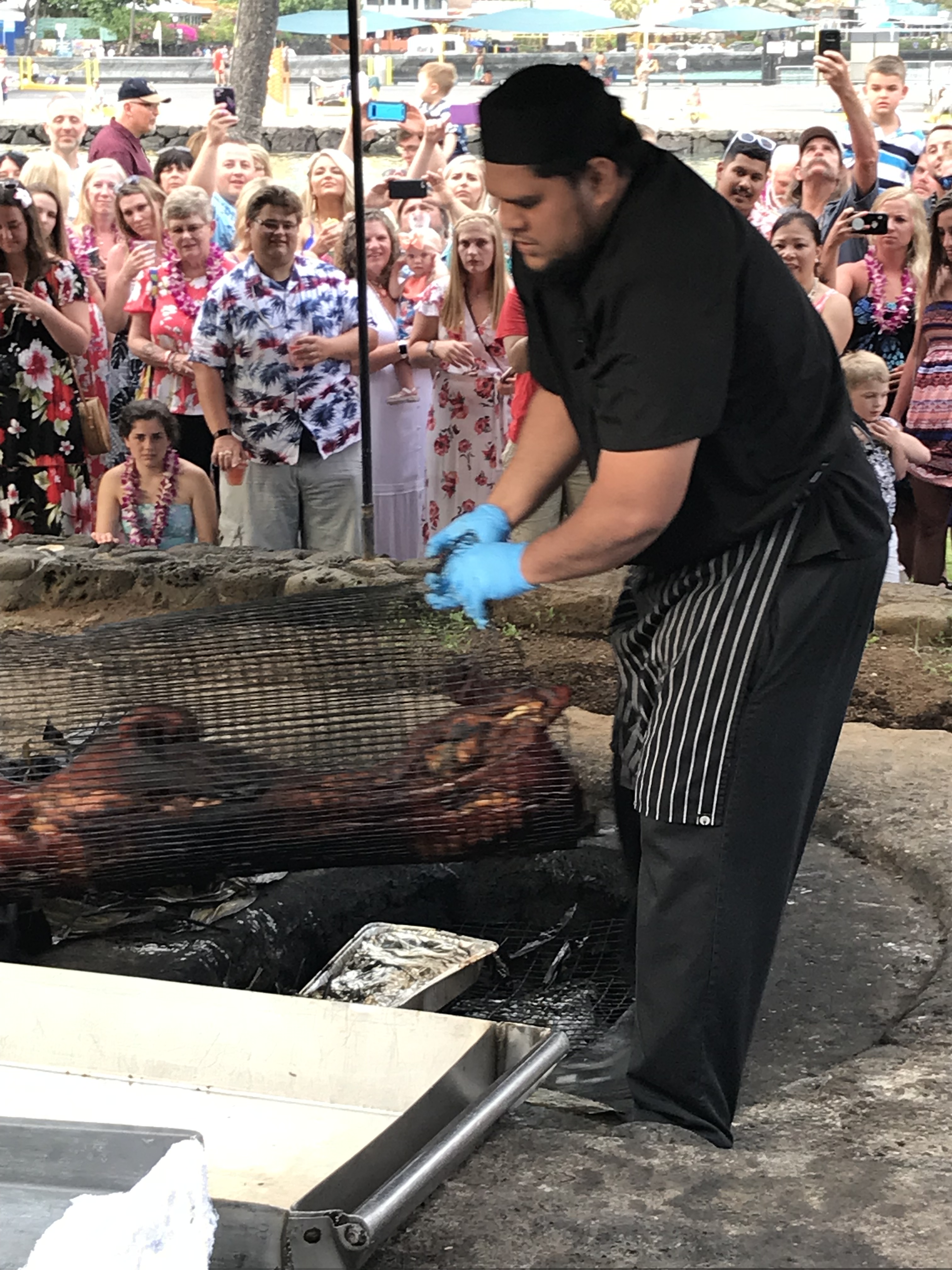
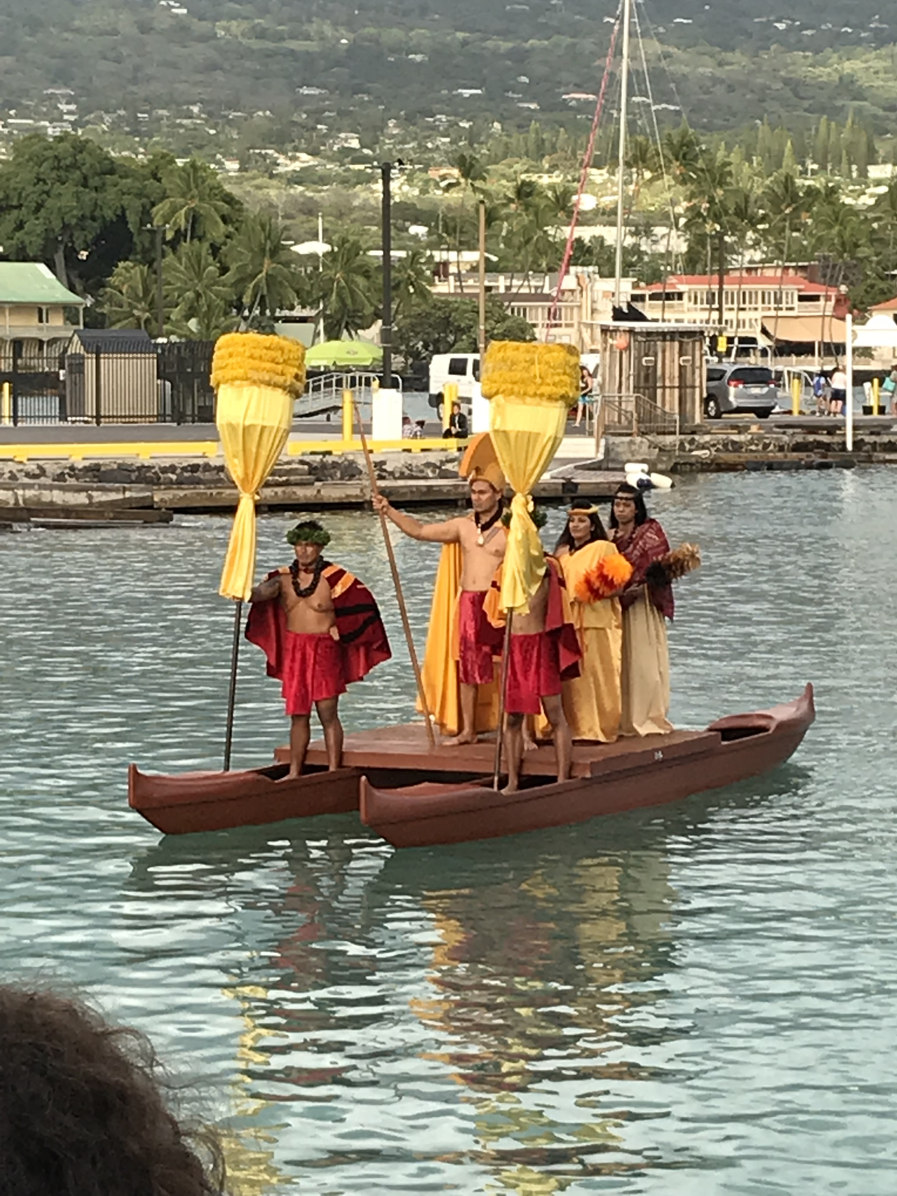
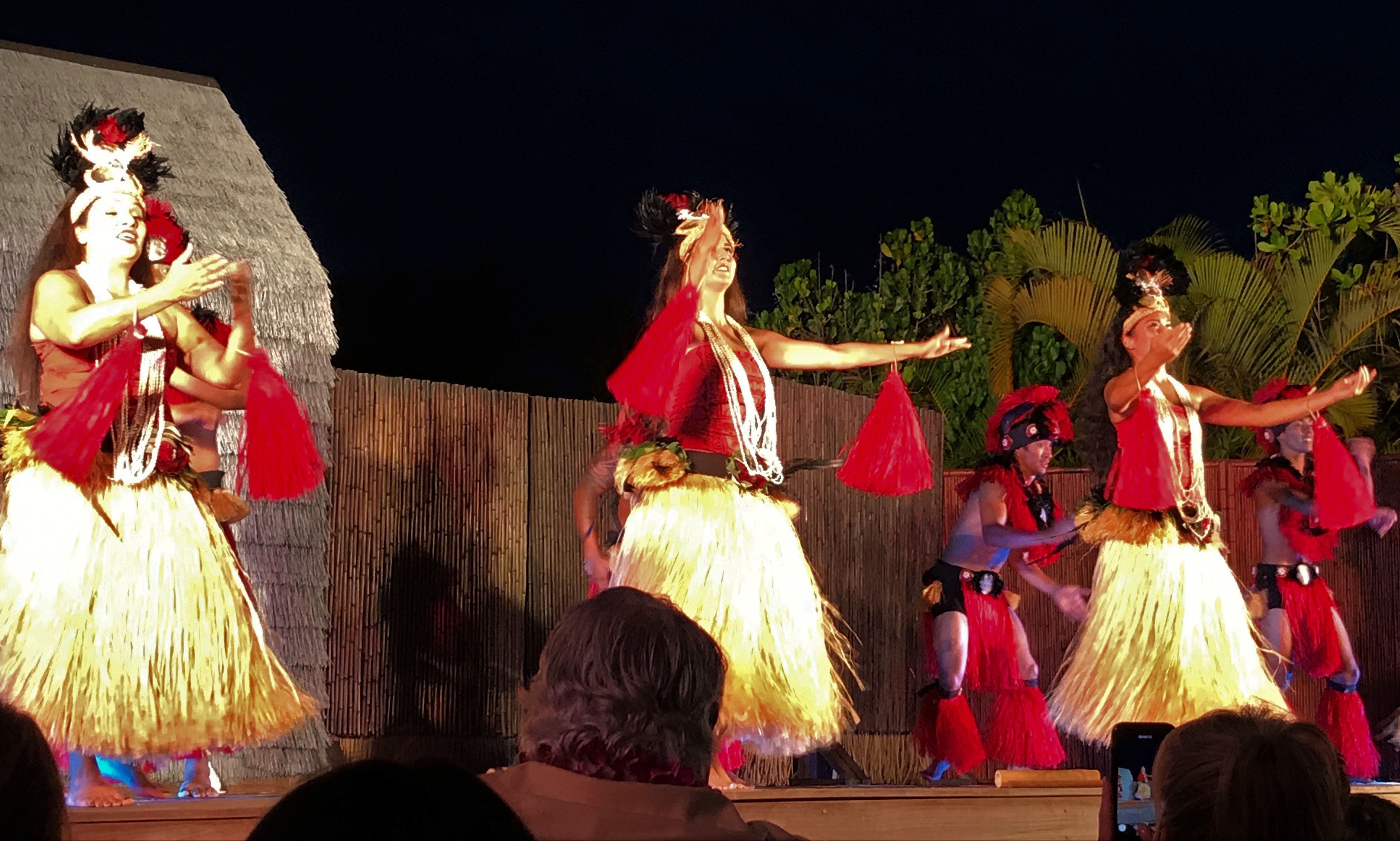
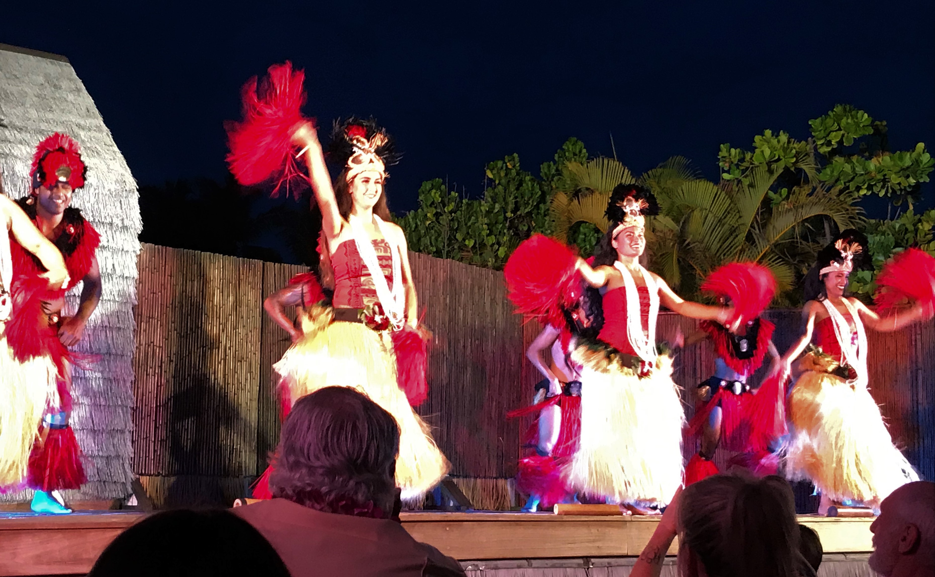
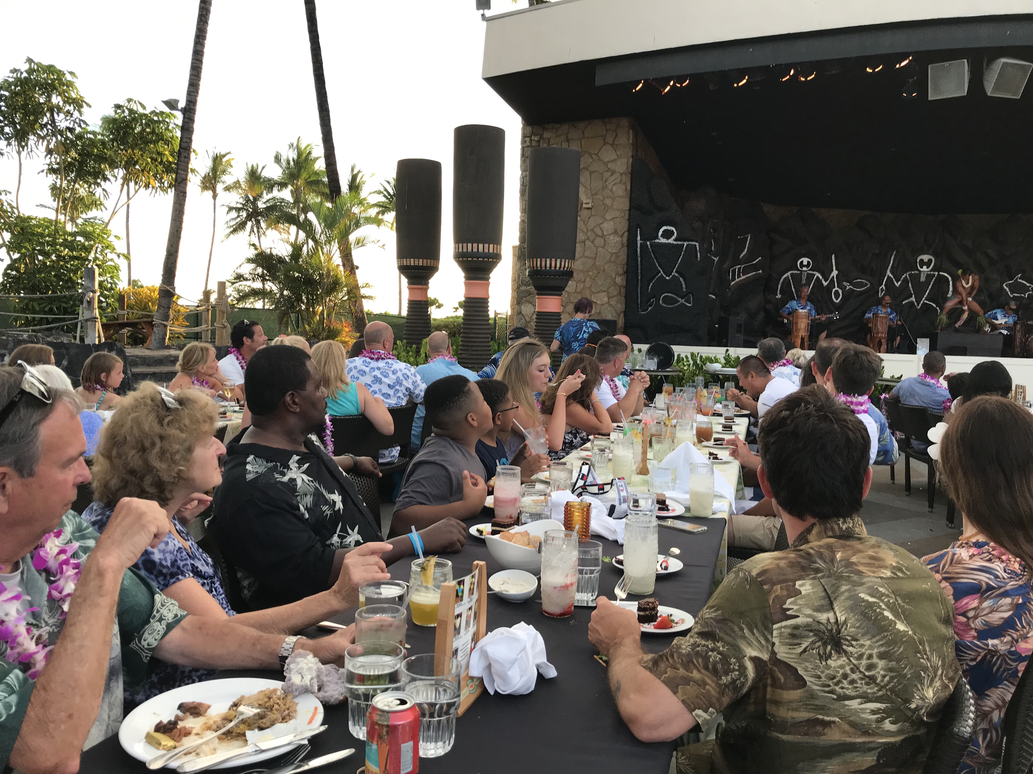
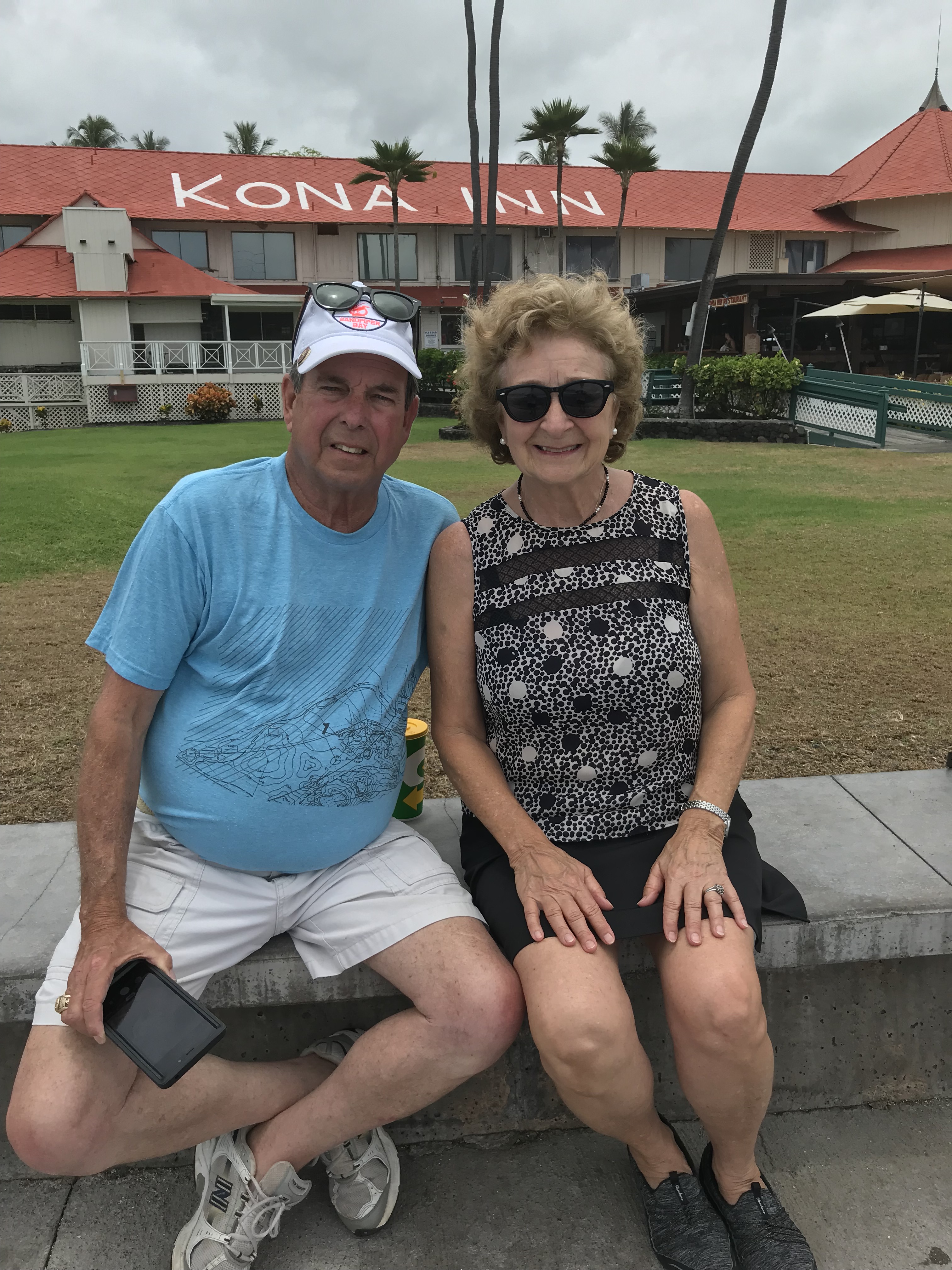
Sharon tells me she’s having a good time and has enjoyed seeing all the places we’ve visited, nature, beach, birds, air, Pacific Ocean, atmosphere, Hilo, Kailua-Kona, fresh fuit, shops, towns, Pacific Ocean, food, people, no disappointment, none. One thing before we leave is to attend a Lu’au so she treats me to the Island Breeze Lu’au. What a nice gift for me! The food was buffet style and quite good, the early entertainment was enjoyable, folks at our table nice, the show after was very entertaining and well done! Thank you to my sister for a nice time out as I’ve been careful to watch my spending while here because I want to stay for the time I planned and been a bit of a night shut in! Mahalo nui loa baby sister!
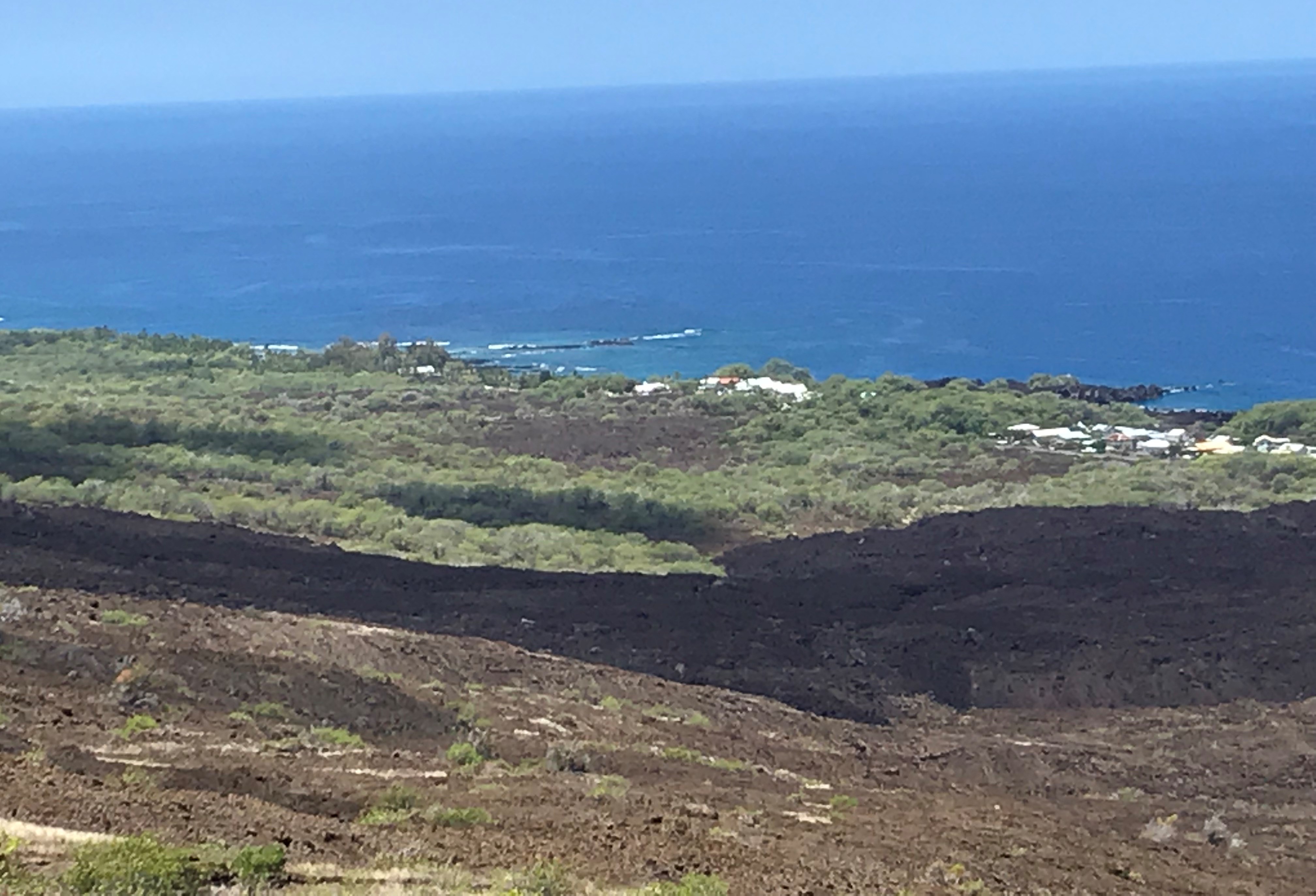
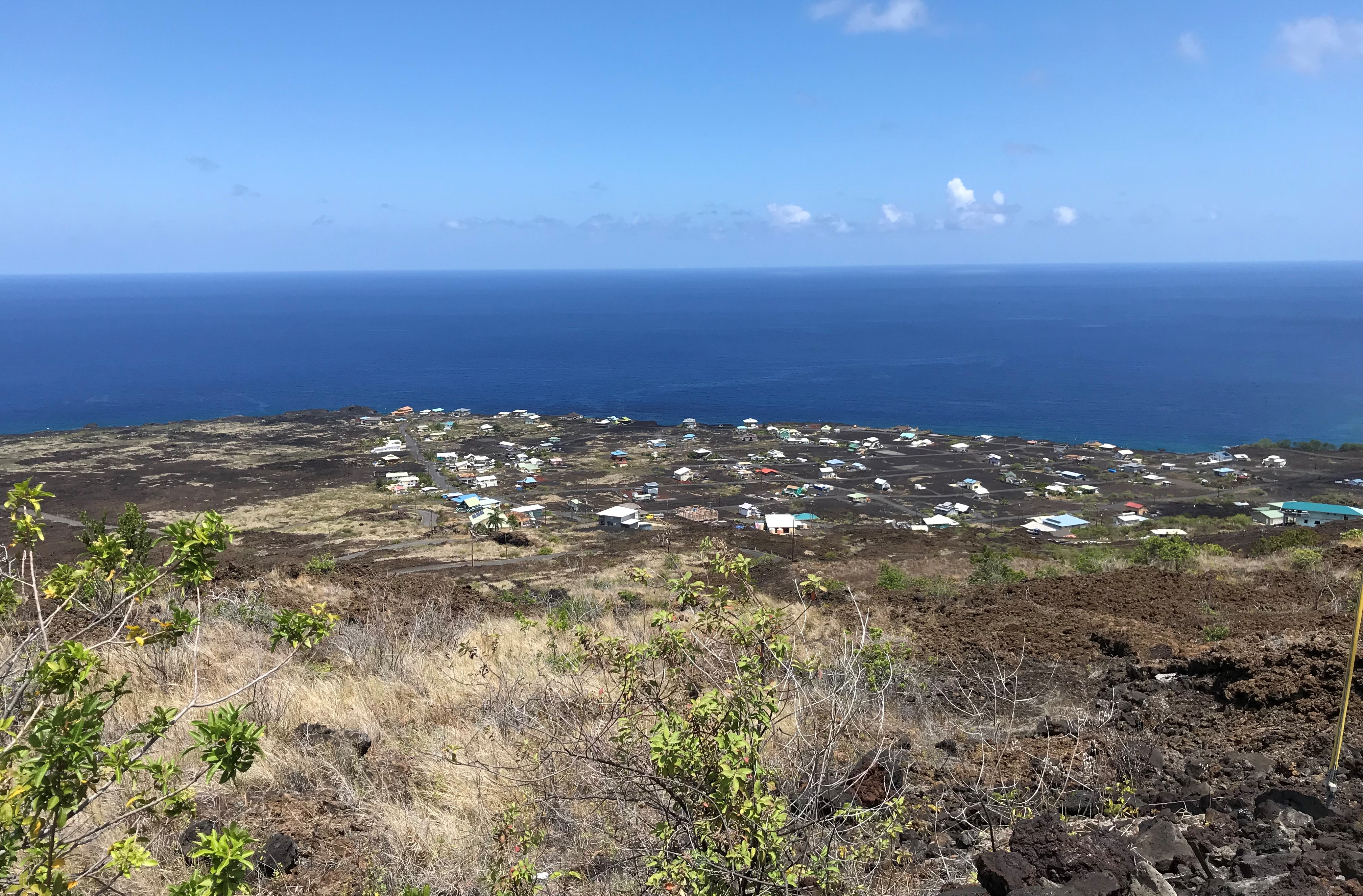
Miloli’i is an unincorporated community on the island of Hawaii in the U.S. state of Hawaii, 33 miles south of Kailua-Kona. The village is situated at the seacoast where the 1926 lava flow from Mauna Loa entered the ocean.
Miloli’i is purported to be “the last Hawaiian fishing village” according to a wooden sign in their community center. Without access to power lines or water, each house provides its own electricity and water with solar panels.and tanks that collect rain water.
On February 5, 1868 a tsunami carried a church, named Hau’oli Kamana’o and swept it away to Miloli’i. Surprisingly, the church remained in good condition and still stands in Miloli’i today.
Our last day together, a morning drive down the coast a little further than the last time past 2 Step. Traveling on the Mamalahoa Highway (means
“Guardian of Kamahameha”)- the Hawaii Belt Road we come to a sign “Milolii Road”, take it, there’s no plan, the road less traveled, eh? The drive down from 1,100 feet takes as long as the drive to get to the turn, around and around, back and forth, like the ocean that moved me last night swimming at the beach. Just relax, go with it, no hurry, no worry. A saying from the lu’au was you come to the islands one way and you left with “more power and more love”. So here we are, our last morning sharing this experience. With my sister! We turn and go down and around. What a surprise!
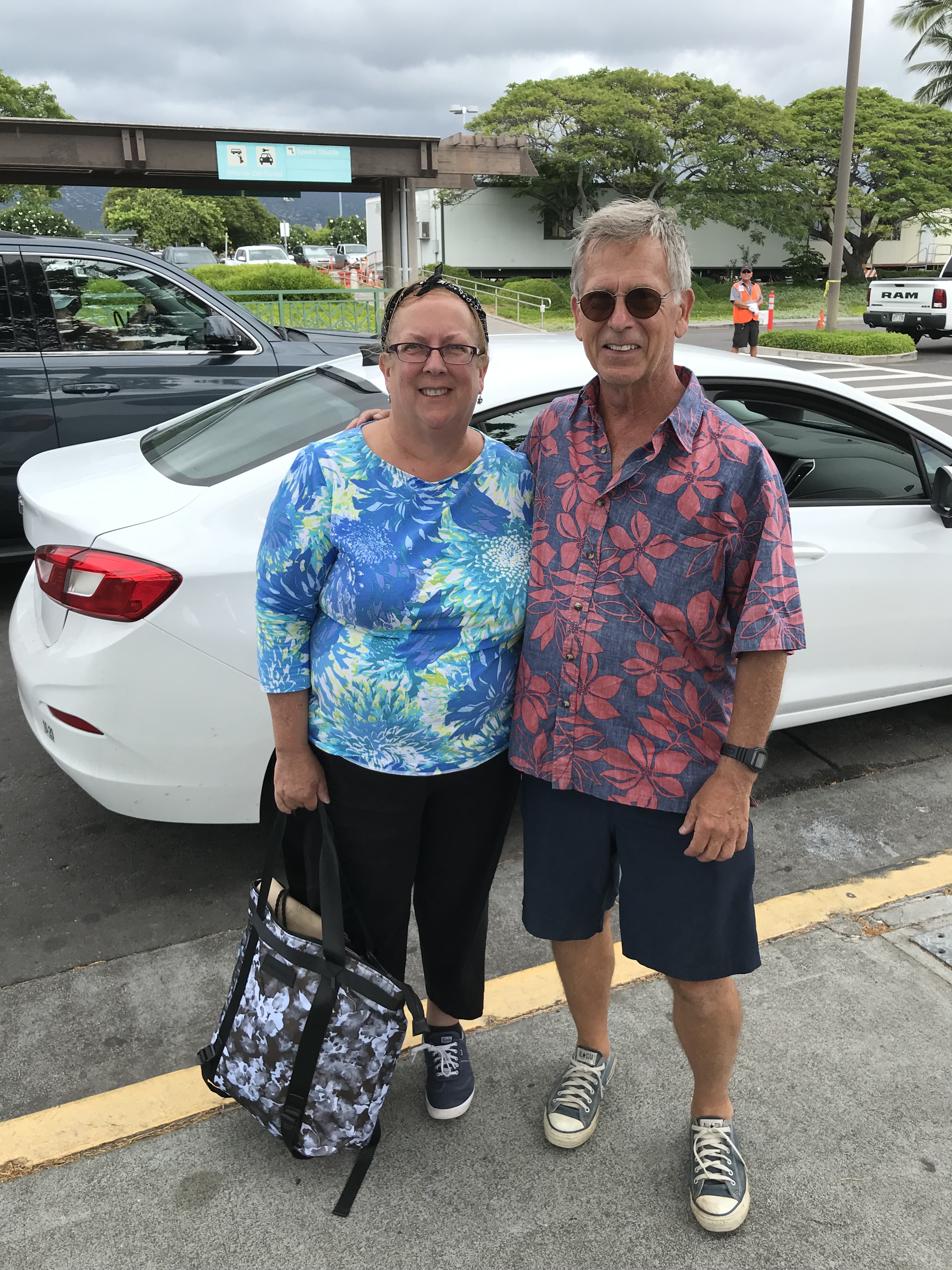
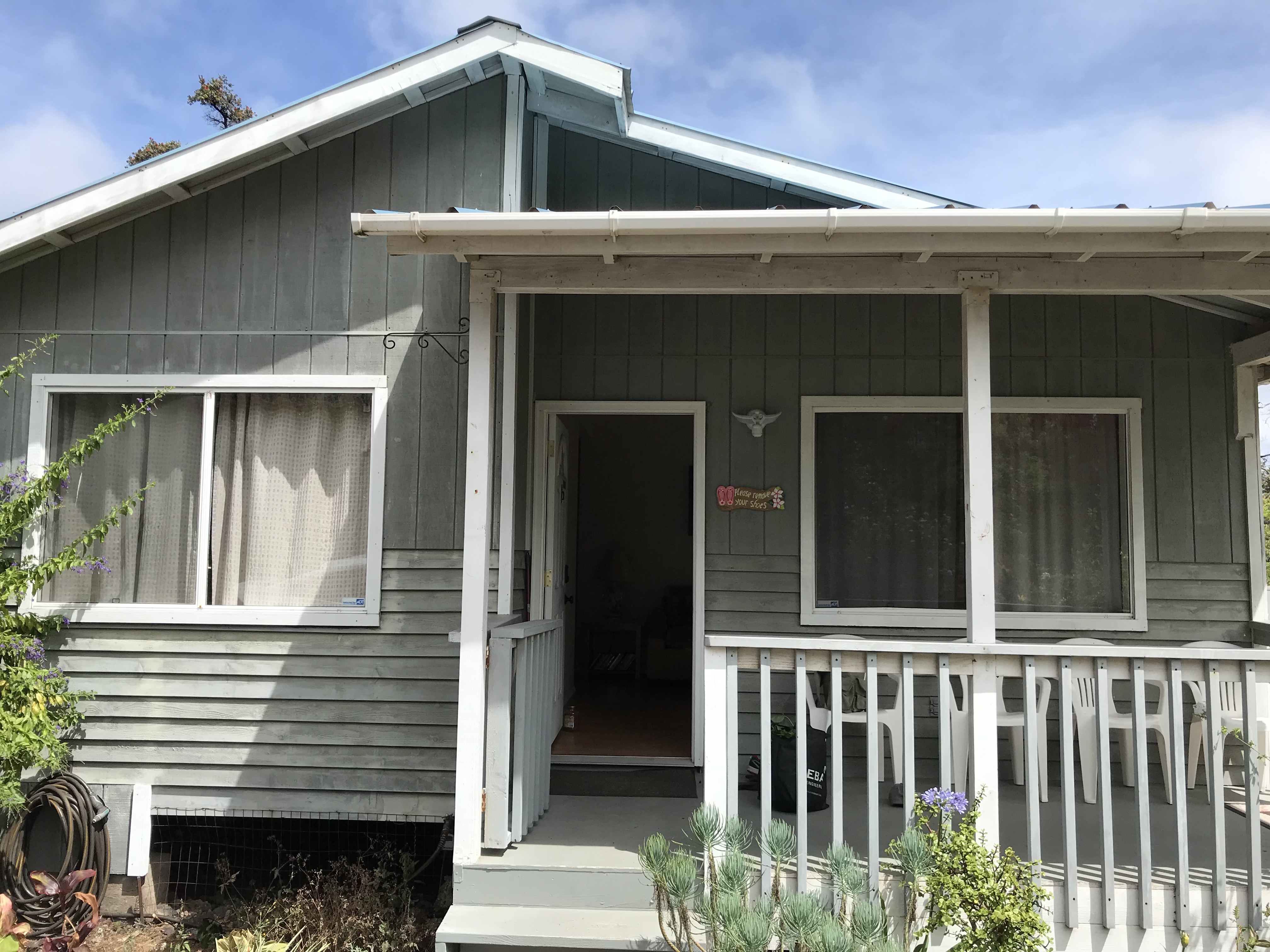
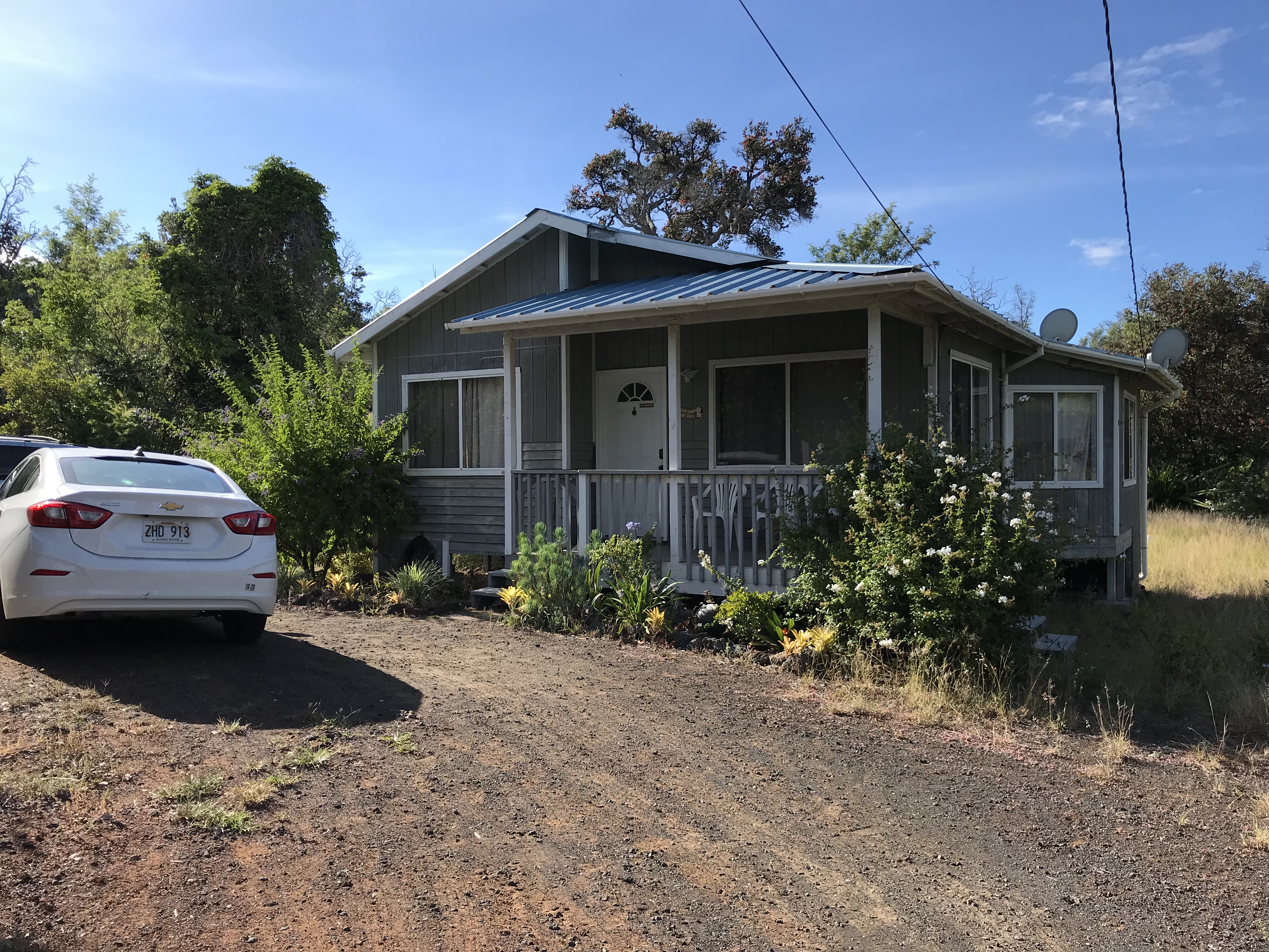
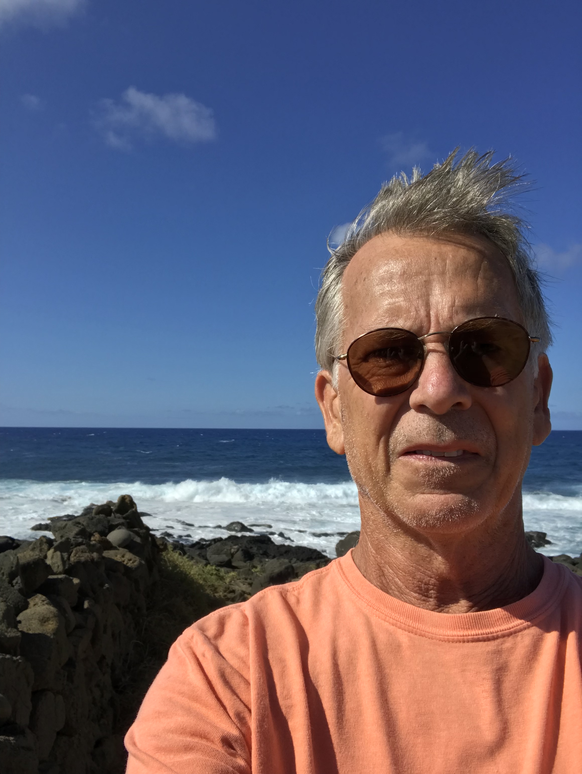
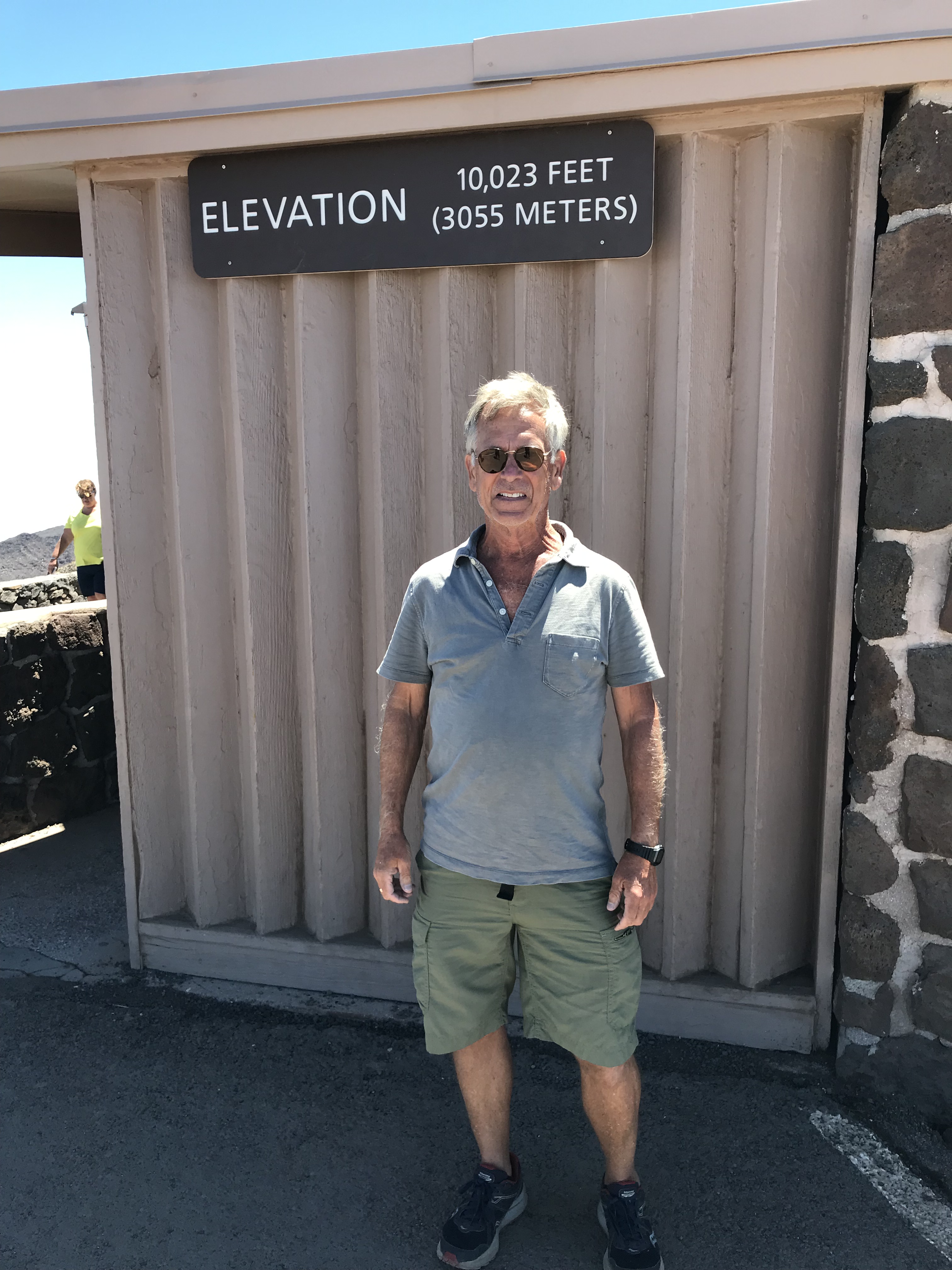
I left Kailua-Kona on Friday June 21st, Summer Solstice day, then drove 40 miles south to the village of Ocean View an area of sparsely developed subdivisions on the south slope of Mauna Loa. For those keeping track of my location on your Carmen Sandiego World Map I’m at co-ordinates 19.0888888 North and 155.751111 West. The house has electric, hot water, a full kitchen, wifi and a rain water catchment for bathing/cooking. Very much like the off the grid place I stayed at in Captain Cook early last month. A very nice place sitting on a quiet street with no close neighbors excepting the 2 cats living under the house (Frankie’s shape shifted felines) who like to rough and tumble wrestle on the front porch around 9 every evening. Very little light pollution I have a clear view of the beautiful night sky and its millions of stars, the Milky Way and trouble finding the pole star. This is the last compass point on the island map I had planned to visit. The island is big and impossible to explore from any one place. Starting in Hawi on May 17th put me at the north end where I and the late May visitors set out our days – Volcanoes Park, Kailua, Waipio Valley, the top of Mauna Kea and many places in between. I moved from there to the middle west side and Captain Cook at a hideaway with the intention of taking more time to relax. Nine days later I’m meeting with Sharon at the Kona Airport where we drive first to the east side and Hilo for a week followed by a trip back to the west shore and Kailua-Kona. After leaving Sharon at the airport on Thursday June 20th I traveled here to the south end staying until July 13th when I meet up with my next visitors.
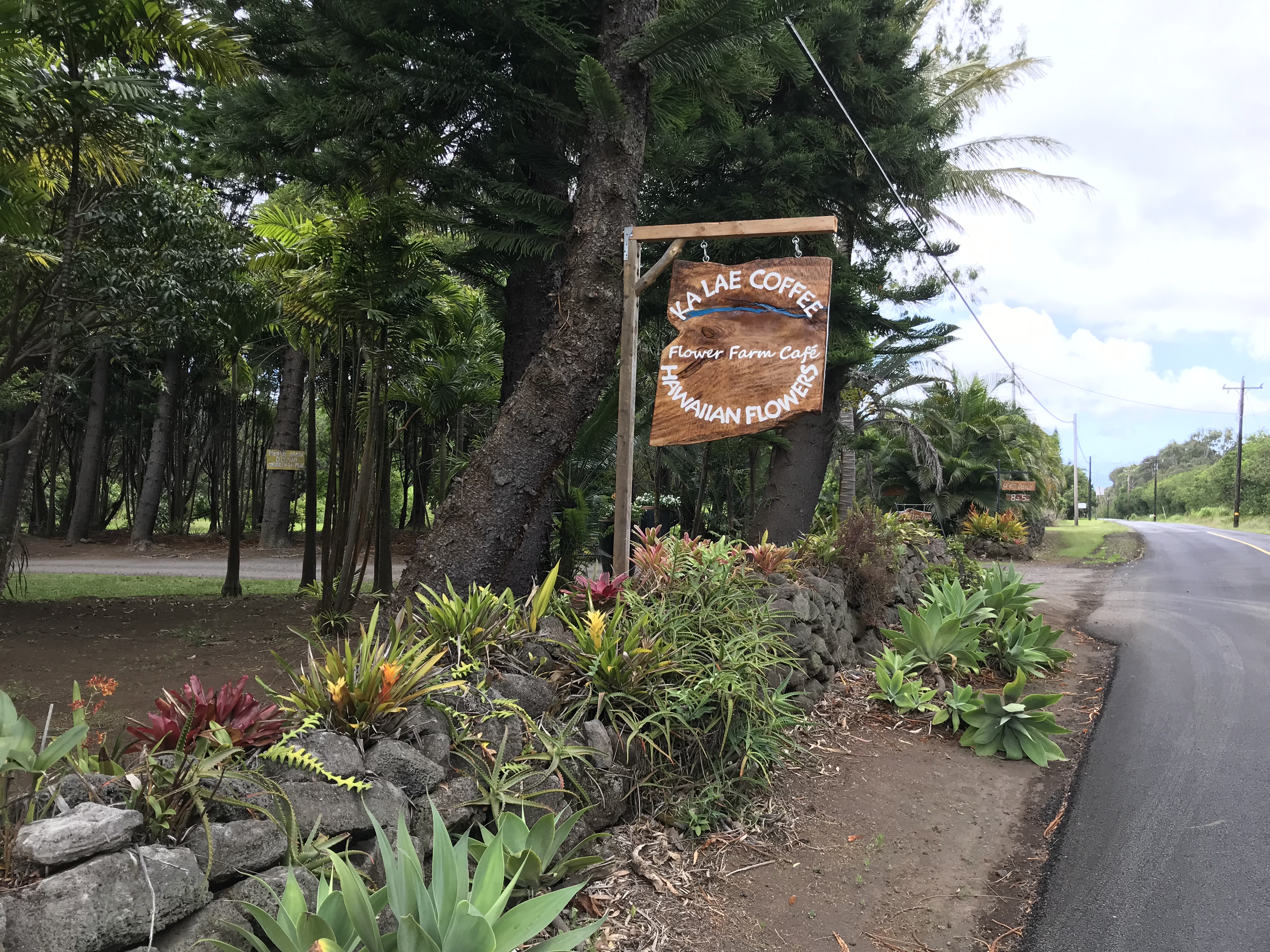
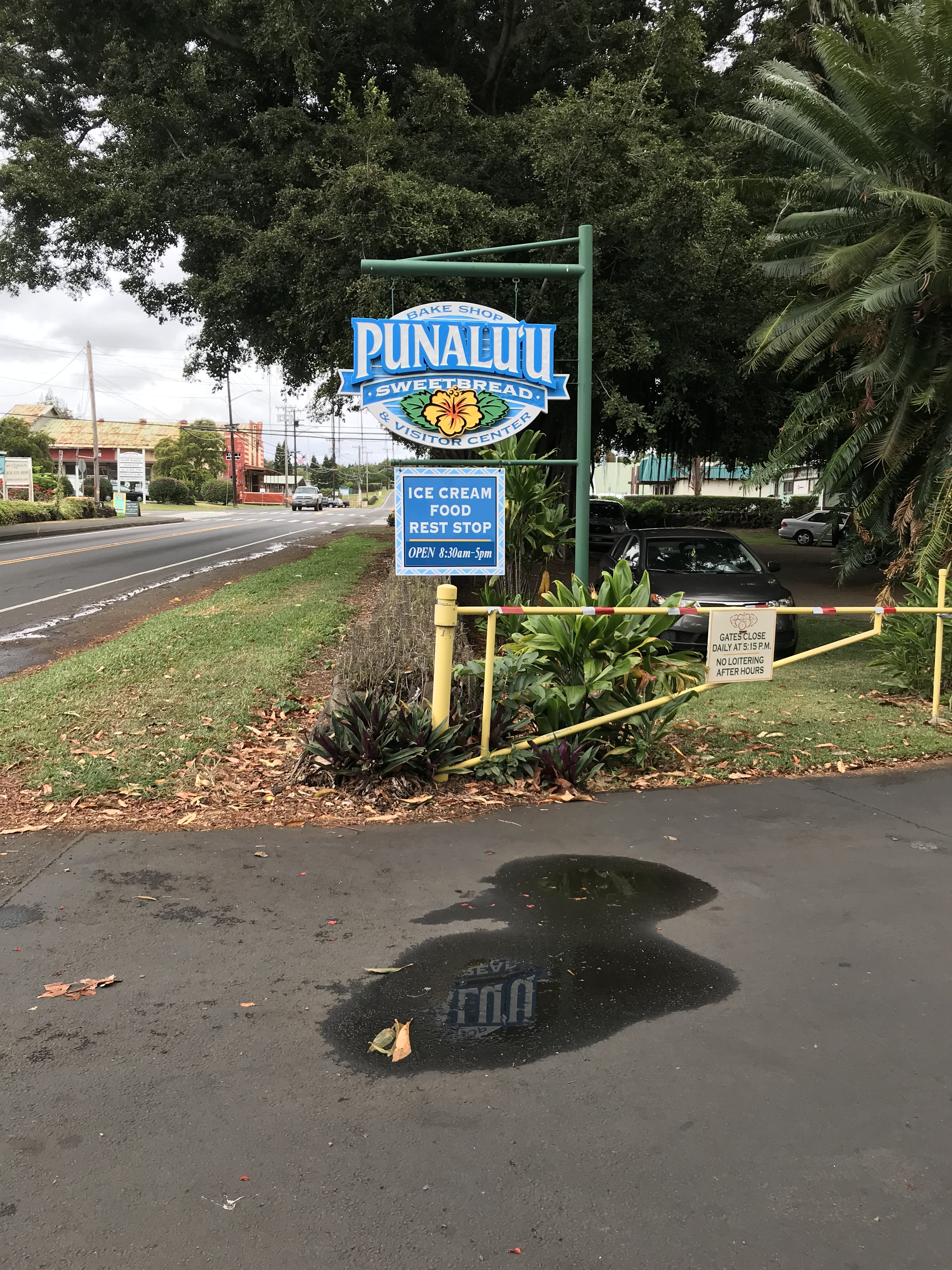
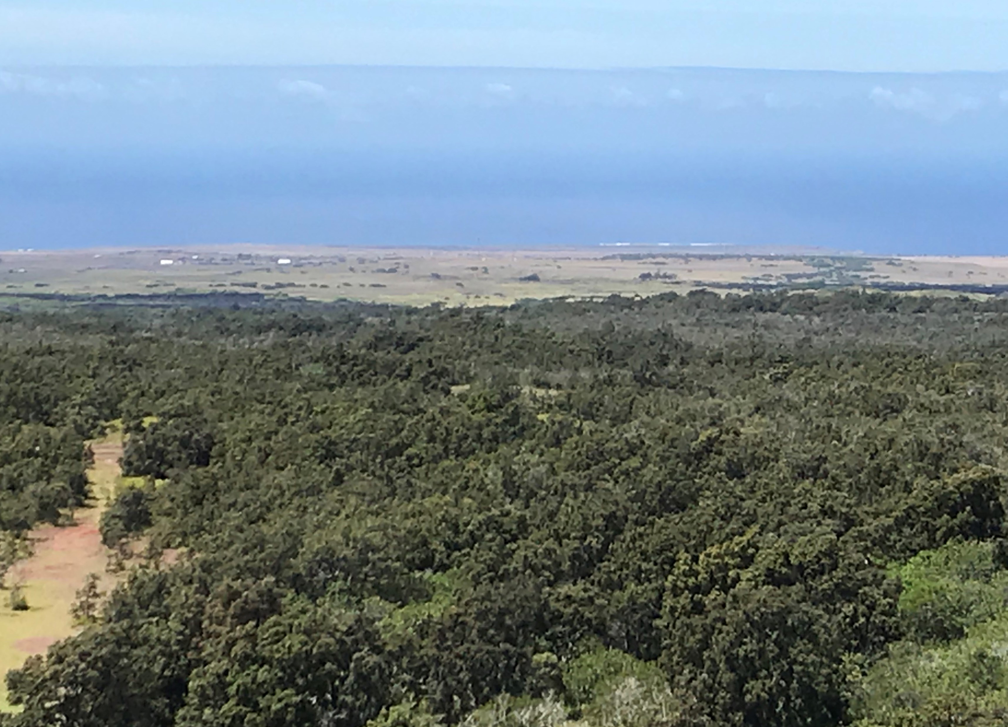
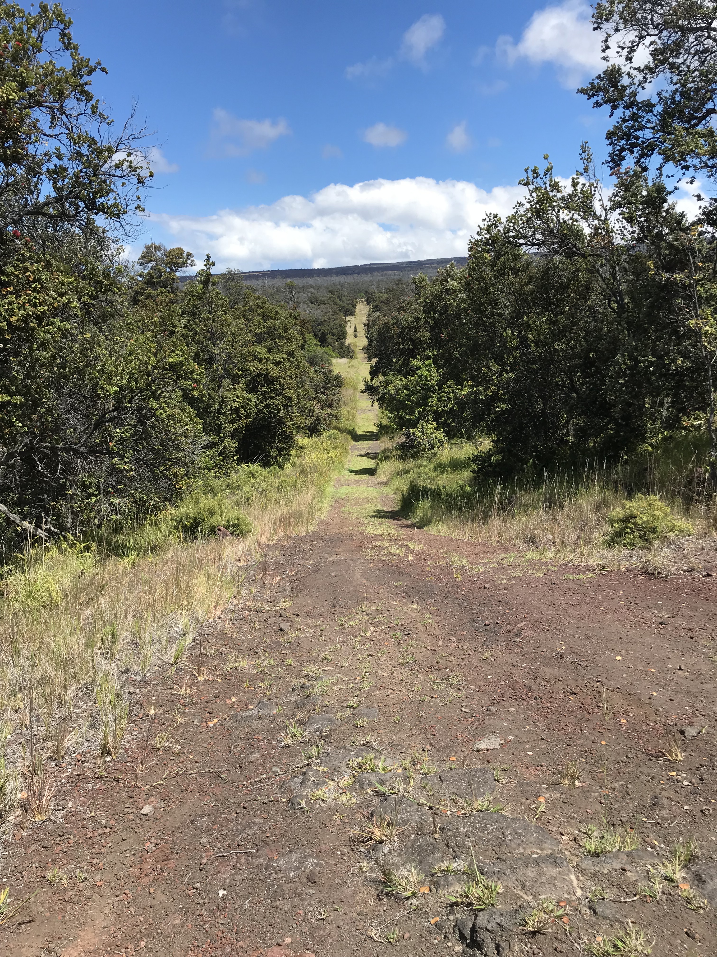
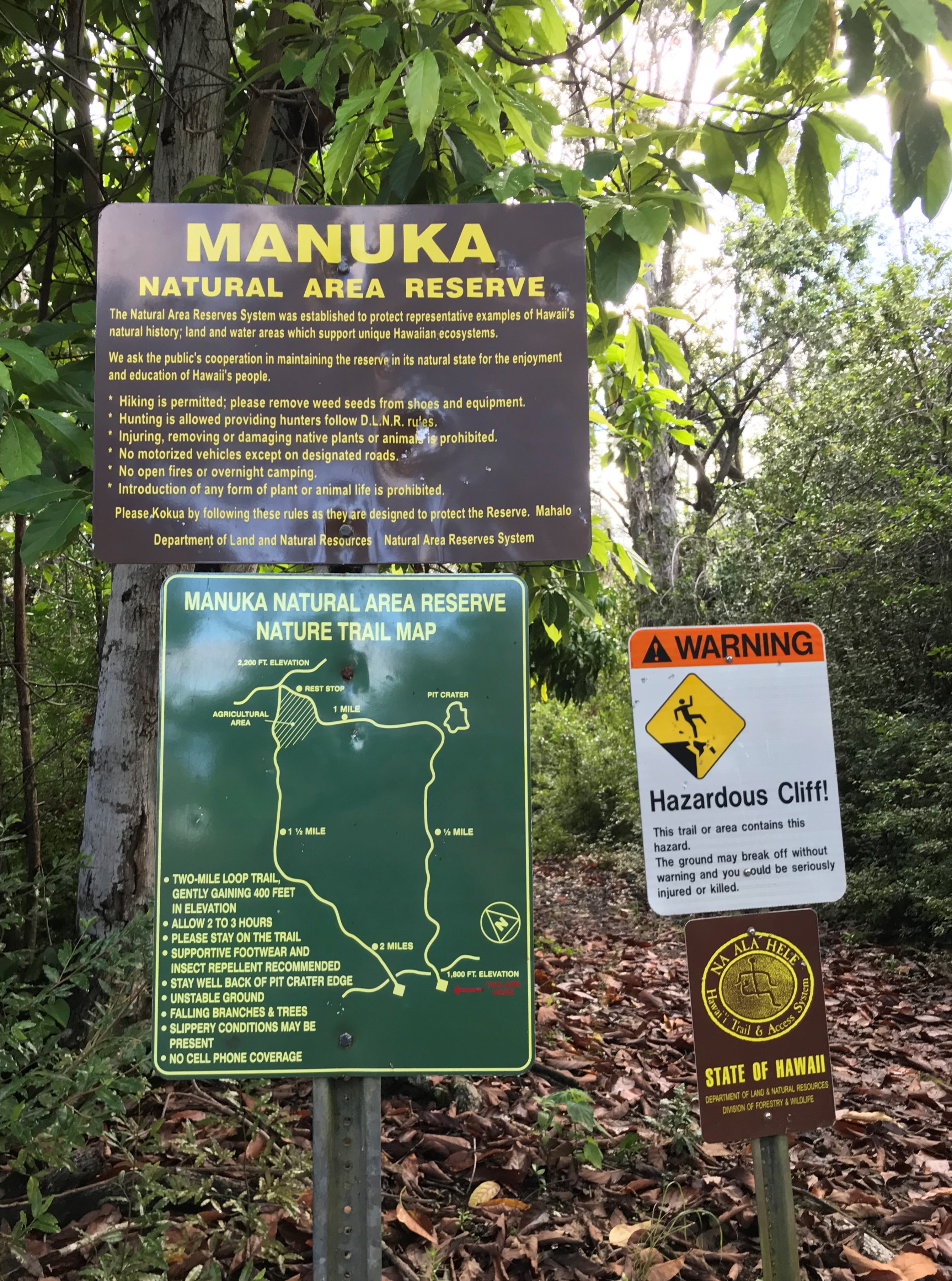
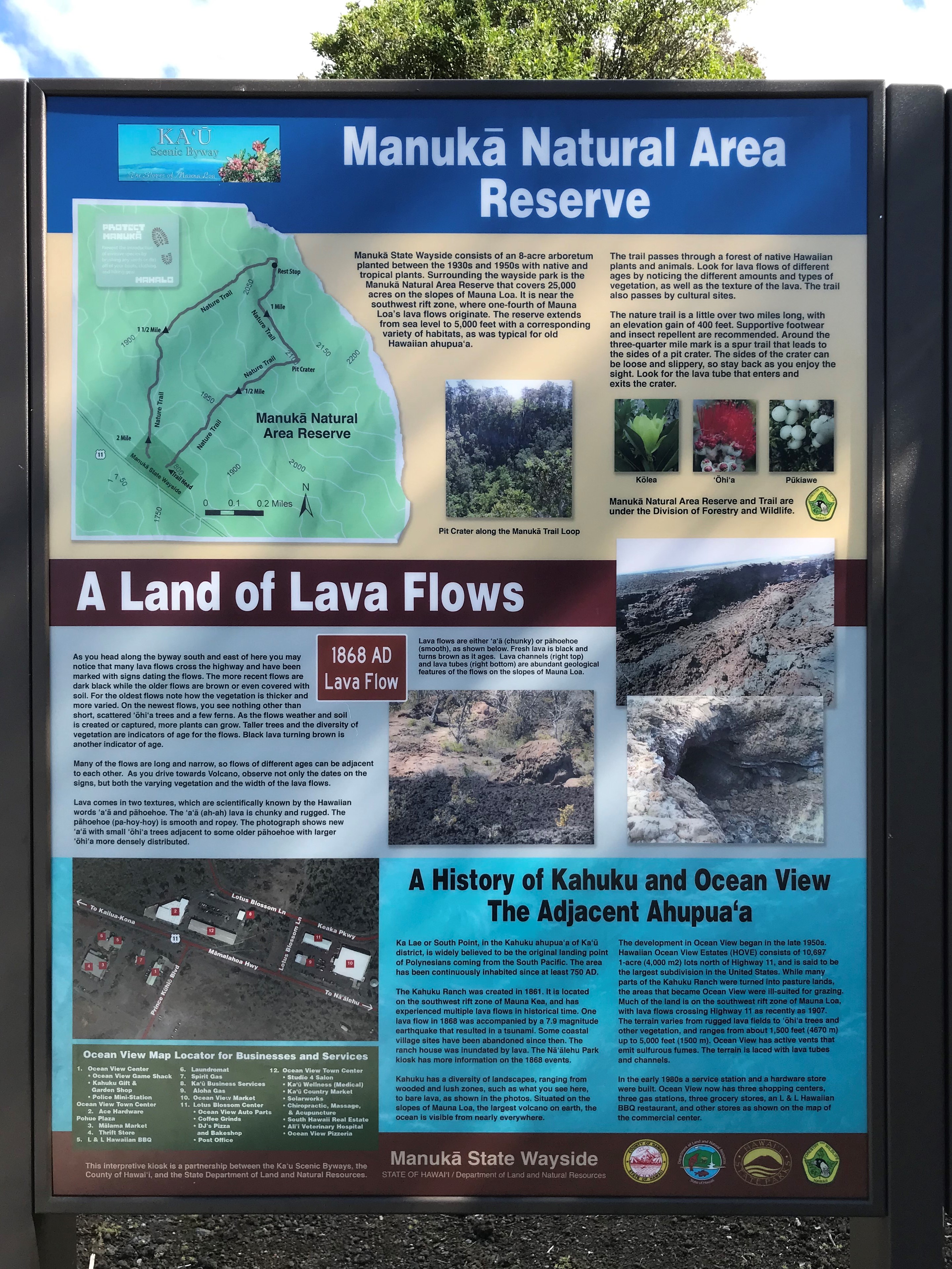
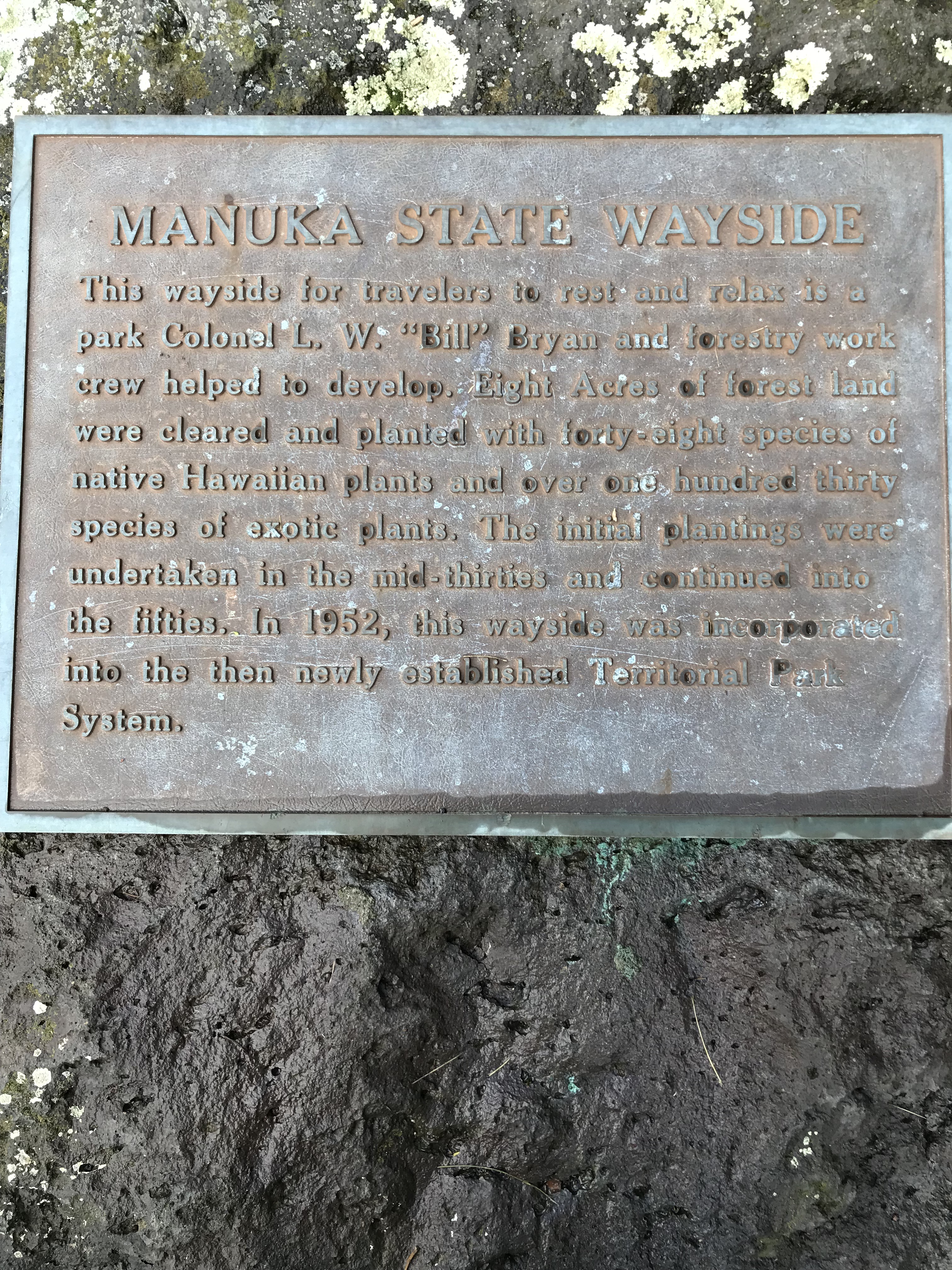
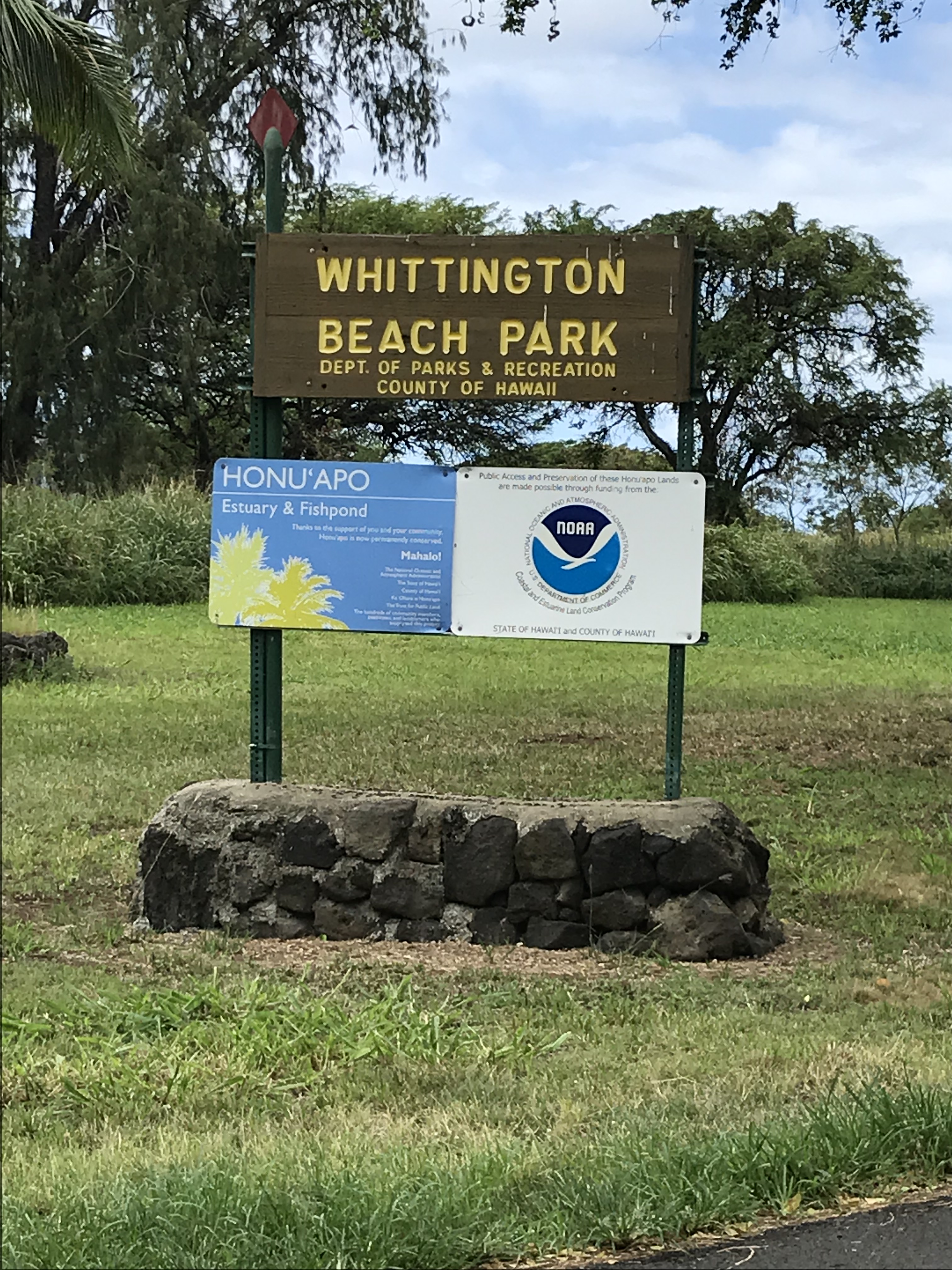
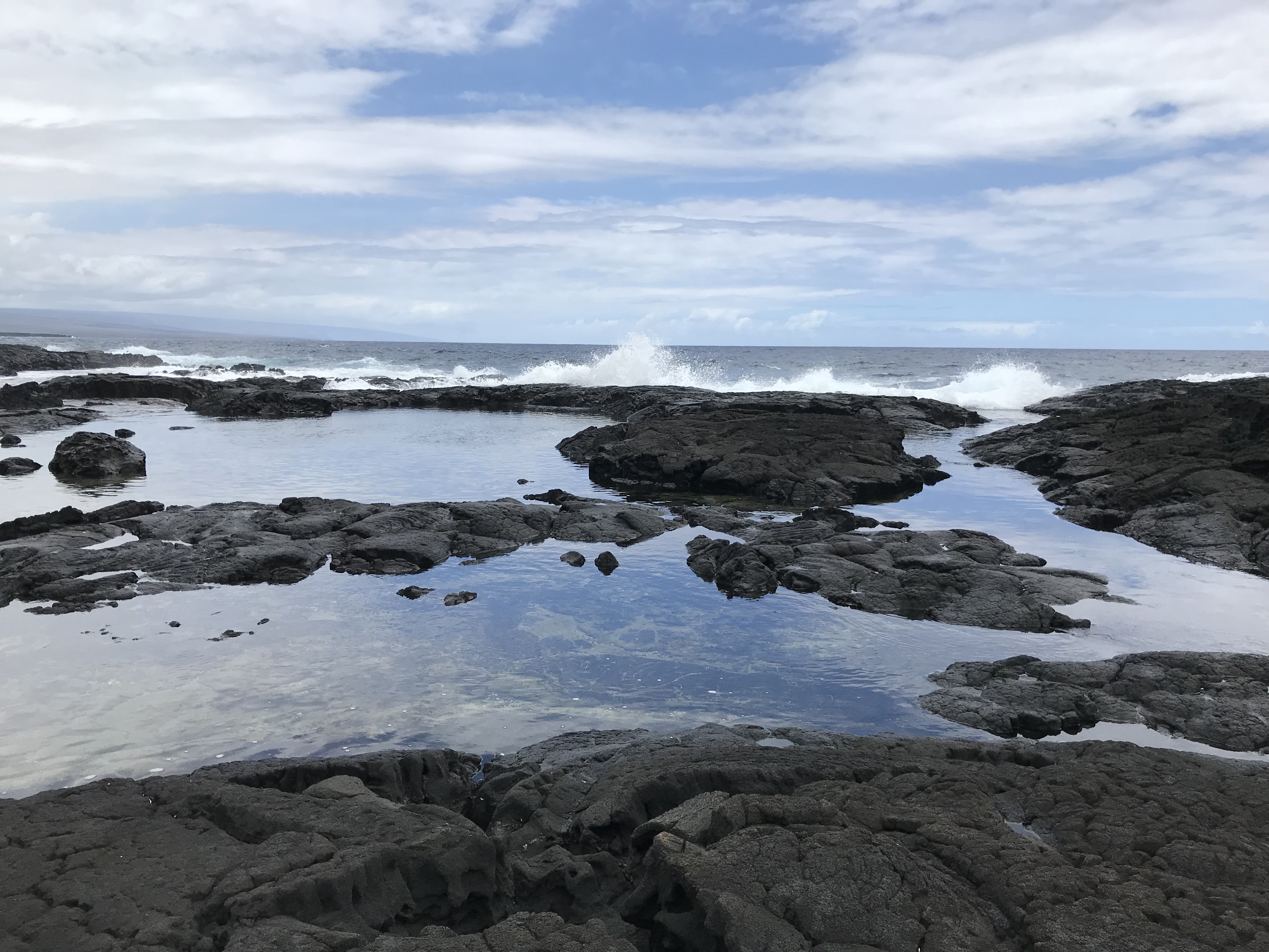
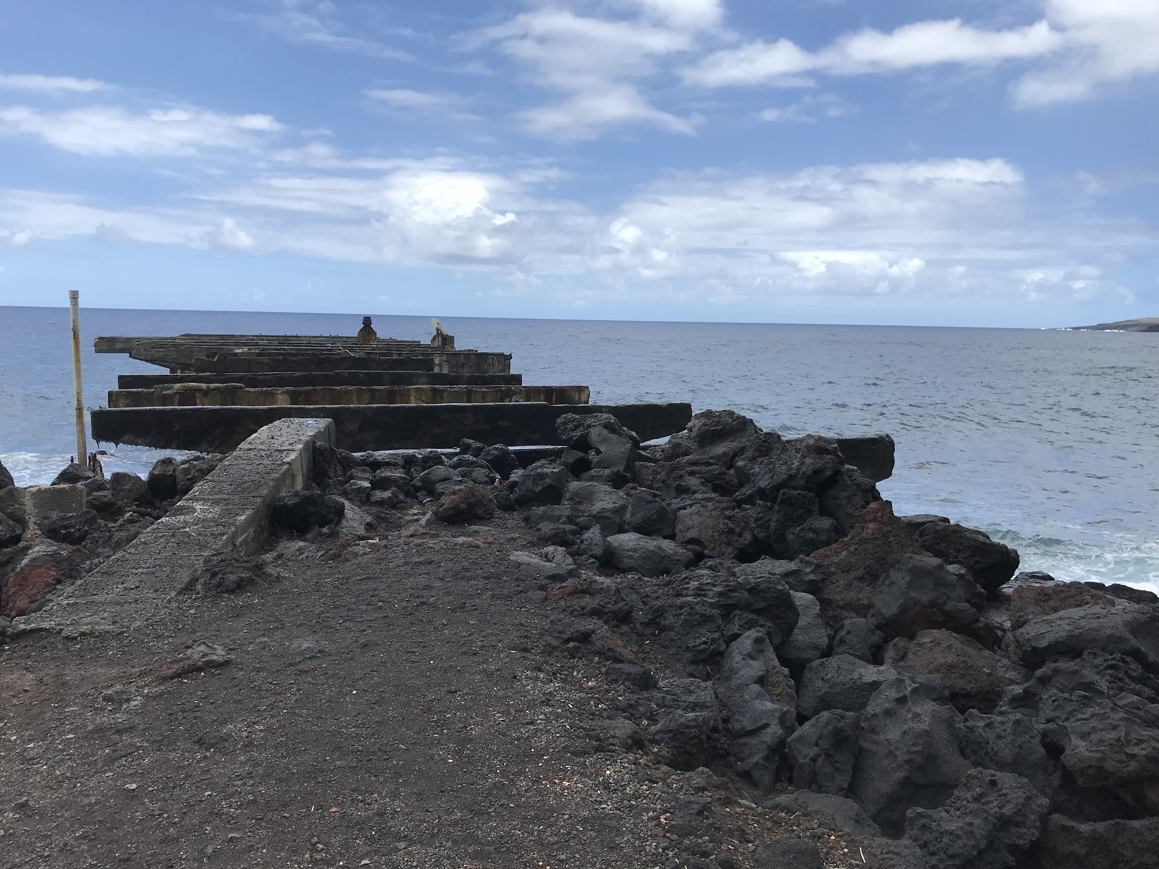
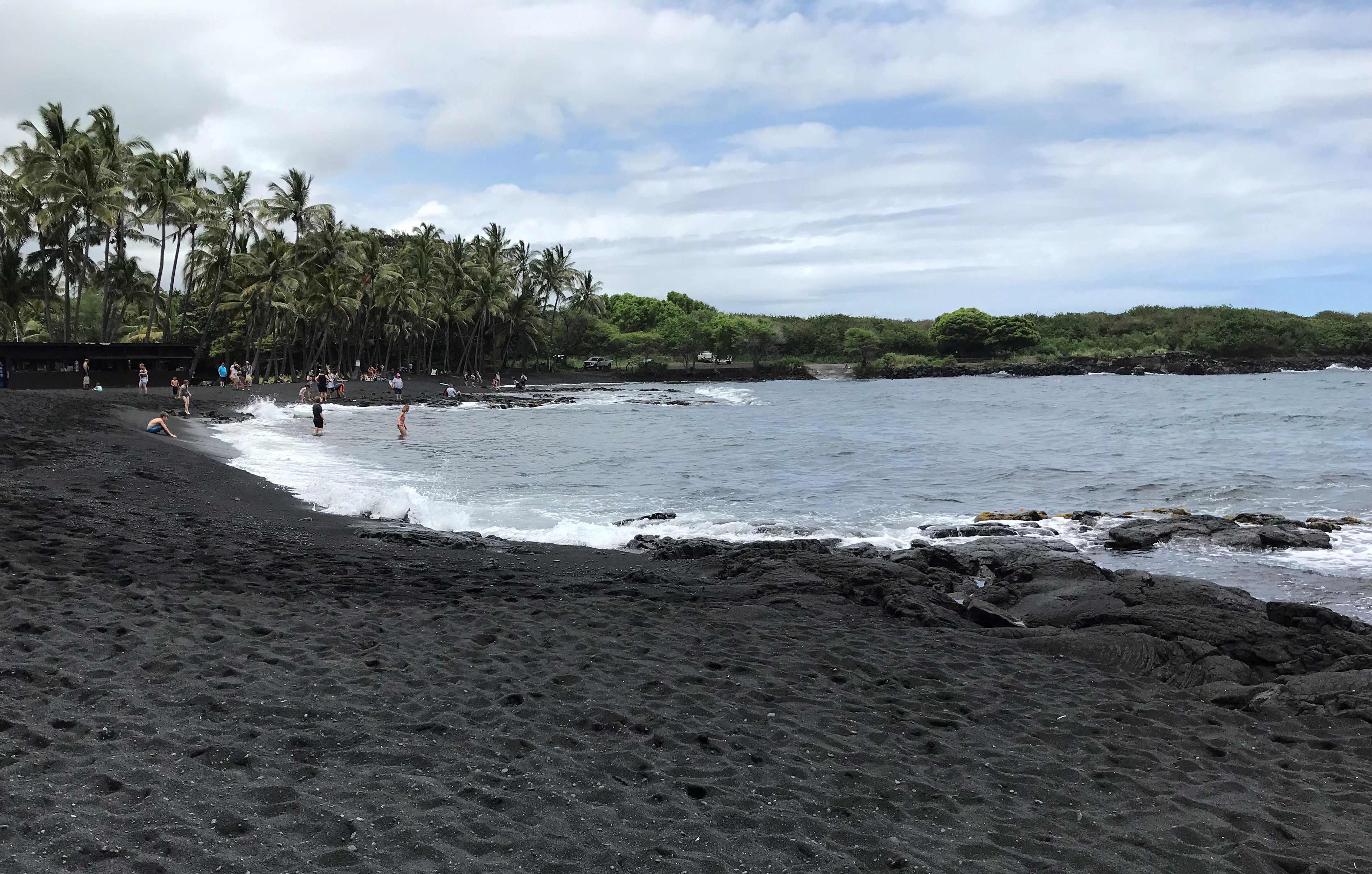
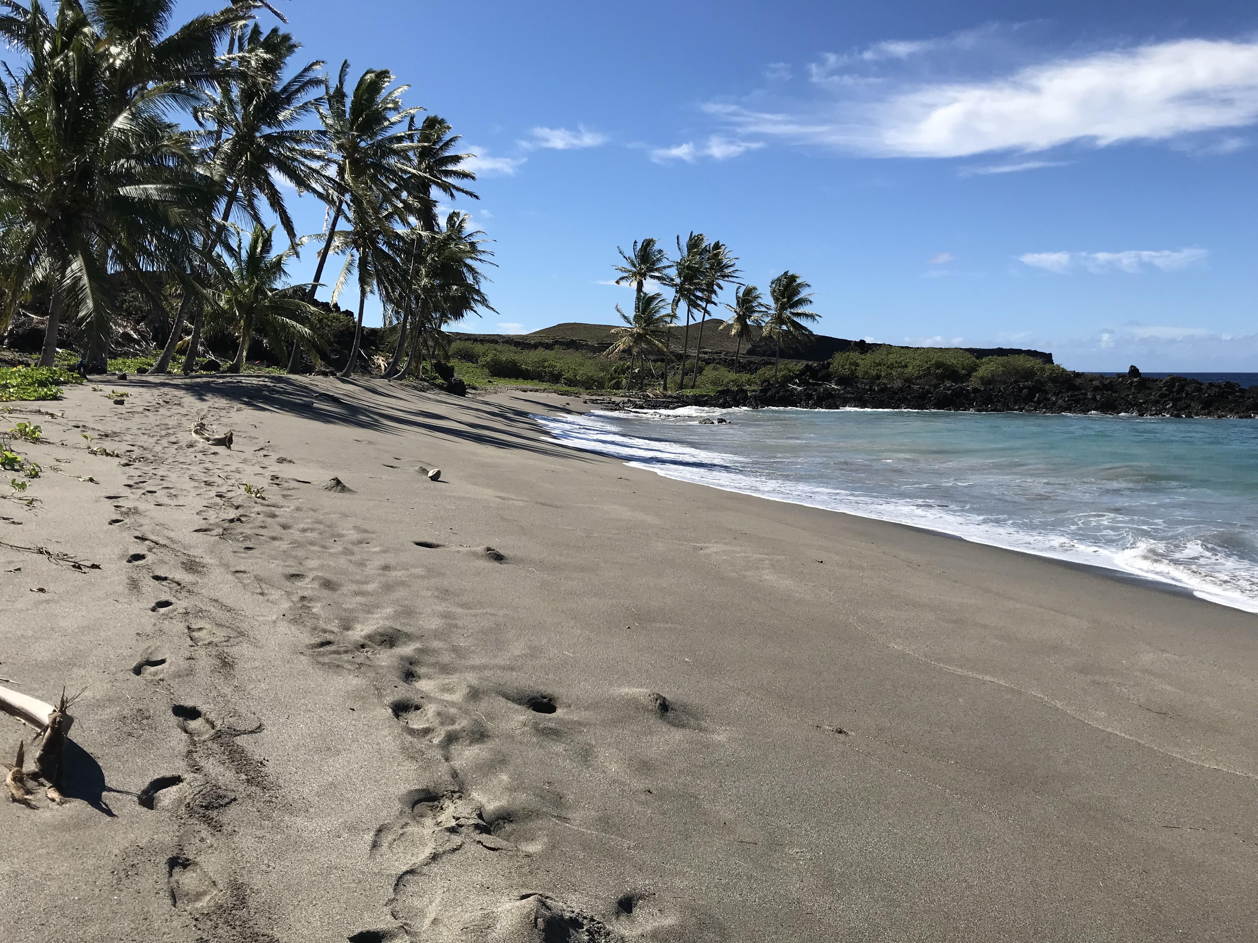
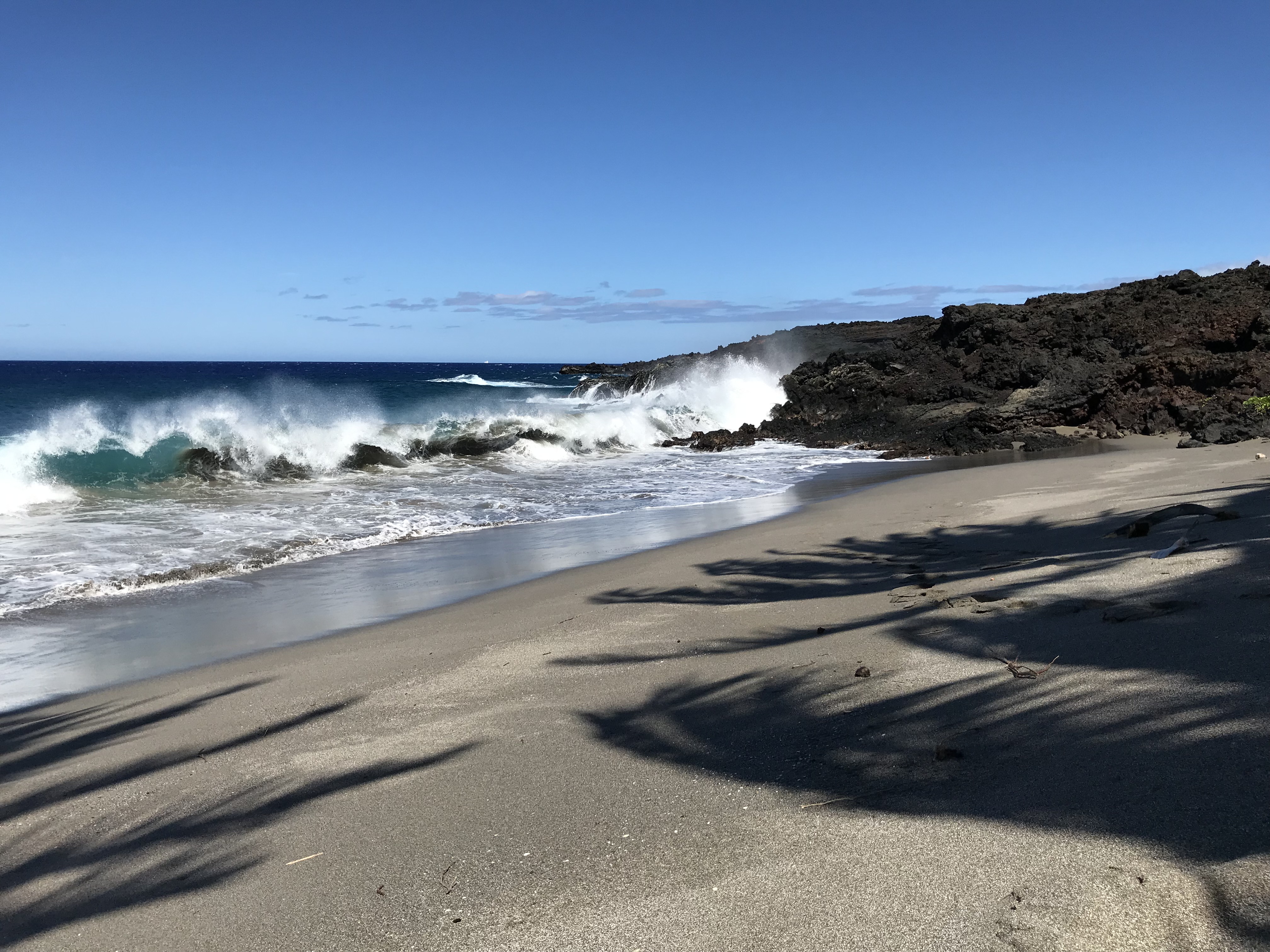
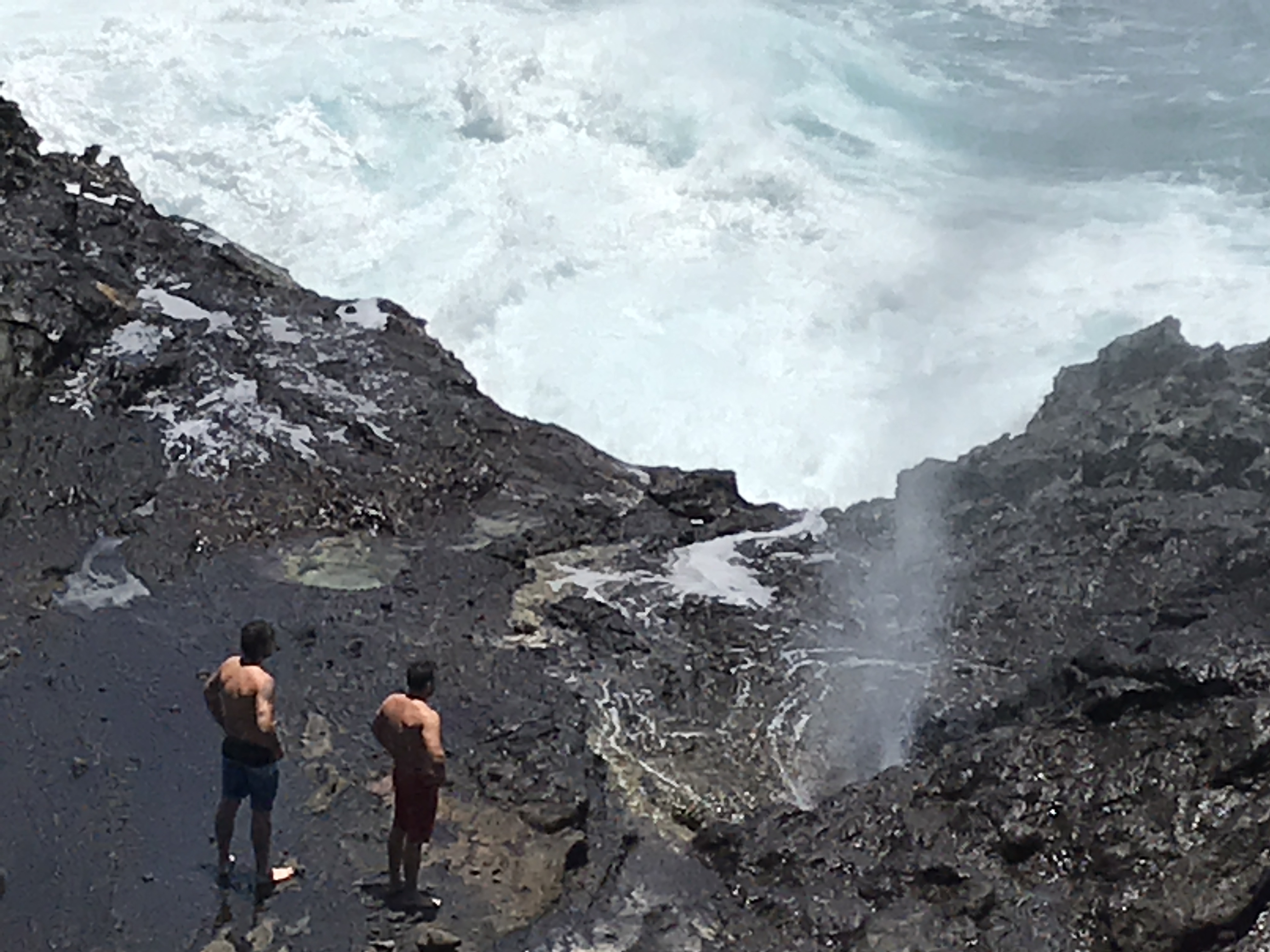
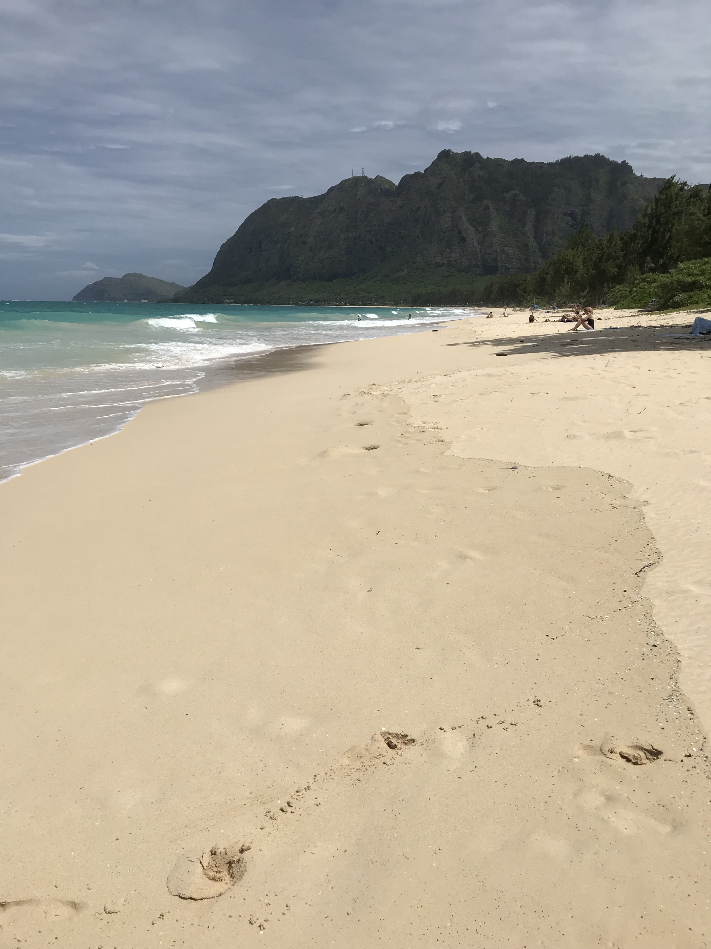
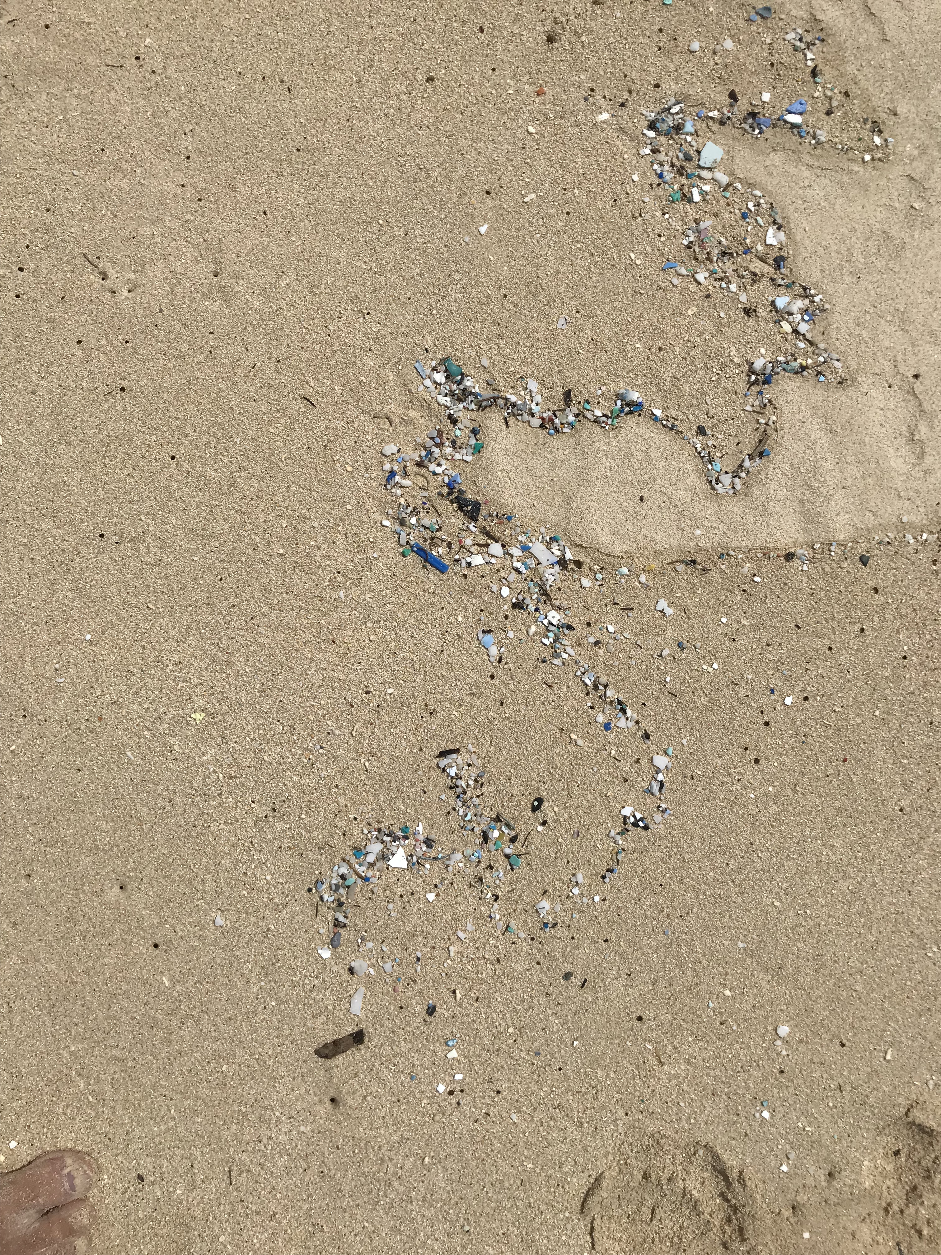
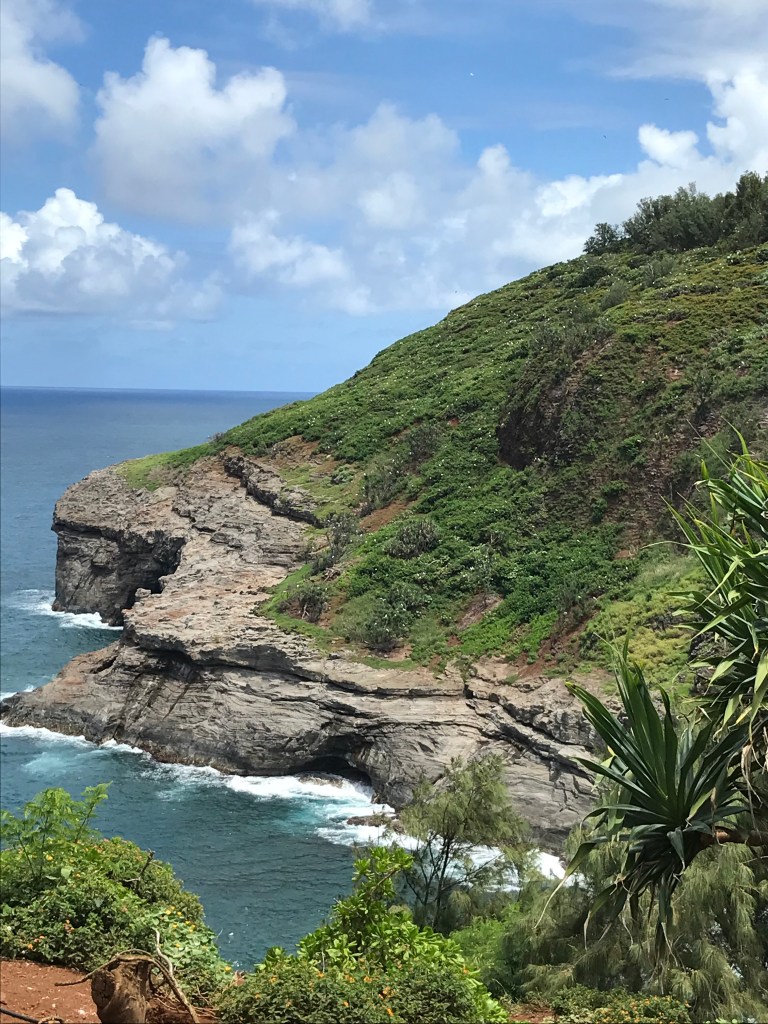
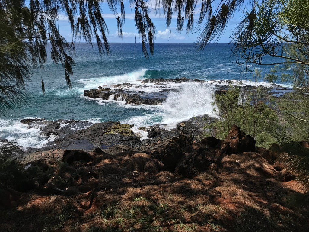
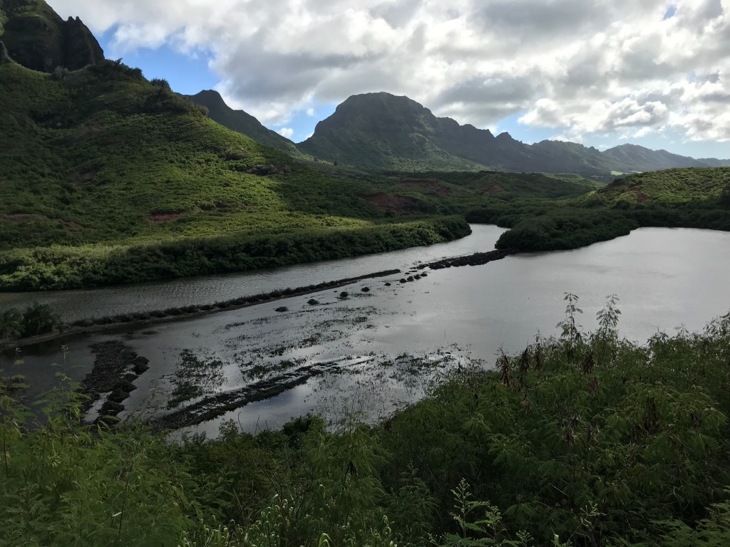
What have I been doing these past 12 days you might wonder. Checking my map for sights to see I decide to take a drive the first Saturday to a place called South Point then driving a bit further east on Hawaii Belt Road to the village of Naalehu. These weeks I’ve made visits to State Parks – Whittington Beach and Manuka, where I mistakenly decided to hike the narrow rocky 2 mile trail on a day after it had rained. The mosquitoes swarmed me whenever I stopped which was somewhat of an annoying disappointment because the hike has many marked off places to observe the different plants and sections along the trail. I had to keep moving or else get picked up and carried away! Whittington Beach, when I researched it later, was recently the site of a murder, yikes! (think that was drug related) . I liked the park, not much of a beach here or most of the windward side parks because of the heavy surf pounding up against the shore. Every village I’ve driven through has a coffee shop and bakery. It’s Hawaii and Kona coffee is world famous. Fresh and delicious baked goods should never be passed up so yummm! Snorkeling trips to Two Step and Kahalu’u Bay on separate days. Both places are parts of early Hawaiian village life. Two Step – Honaunau Bay, is adjacent to the National Parks site “Place of Refuge” (I posted about during Sharon’s visit). Kahalu’u Bay on the other hand is close to the town of Kailua and as shown on the 1948 map below was a thriving community that has lost its historical character. The Kaha Lu’u Beach site shown on Henry E.P. Kekahuna’s archaeological inventory sketches out the locations of heiau’s (places of worship) used for good surfing, a solar calendar, a women’s worship place and a place for sacrifices. The site in 1948 still had remains of special bathing pools and enclosures that only Hawaiian royalty and the upper classes were permitted to use. Most of that is gone now in its place are parking lots, a beach, snorkeling spots, hotels and houses. Of the two I much prefer 2 Step for snorkeling. The water is deeper and the surf is not as choppy, where I found the water at Kaha Lu’u too shallow and too crowded having to share it with surfers and snorkelers. The coral is different too seems the seawall shown on Kekahuna’s map has led to sand covering the coral and to a bathtub like wash movement in the currents. I was being moved this way and that whether I wanted to linger or swim in a particular direction. Last Friday I drove to Volcanoes National Parks Visitor Center to help with the clearing out of Himalayan Ginger. The plant was brought here, it is assumed, for gardens and has now invaded many parts of the park. It was a misty morning as a group of 10 worked on a section of hiking trail that was overgrown with the plant. Using our loppers I and another person working together, as well as the others, would cut the stalks about a foot off the ground leaving the rest for Park folks who are coming in later to spray the tips. We worked until my partner was stung by a wasp, took a break then worked a little more before ending and hiking back up to the visitors center. The stuff is everywhere our small group barely made a dent. On the return trip to Ocean View I stopped at Punalu’u Black Sand Beach park. The website Atlasobscura describes the park as: Known formally as Punaluʻu Beach on Hawaii’s Big Island, the volcanic sands create one of nature’s most stunning scenes. Unlike other beaches, the black sand of Punaluʻu is made almost exclusively of basalt that has washed up from beneath the waves. As underwater lava vents extrude magma out into the ocean the super-heated rock cools so quickly that it often explodes into the tiny basalt particles that continually feed the unique beach. The area is also home to a handful of unique species of endangered wildlife such as the Hawksbill Turtle and the Hawaiian Monk Seal which are shockingly common on the jet sands. The Black Sand Beach is yet another of the island state’s one-of-a-kind natural wonders.
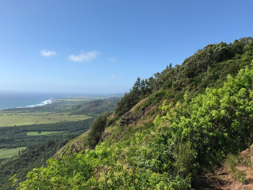
Yesterday I hiked from the South Point parking lot to Papakolea Green Sand Beach, a 2.9 mile trip along the coast out to a steep overlook then down to the “green” sand. This hike was a very busy one lots of families and groups in the mix. Not like we walked in a straight line, there is a shuttle service offered to those who aren’t up to the hike. The different 4 wheelers have cut a crisscrossing pattern of trails we could all choose from so one wasn’t following others and the dust stirred up by the cars and feet. At one point I felt like I was with the travelers in the Close Encounters movie all of us heading to this mecca of sand. On the beach the surf was so strong only a few young brave souls ventured out to dive through the 5′ waves. Fun to watch but not me I wasn’t going in, it’s a 3 mile walk back!
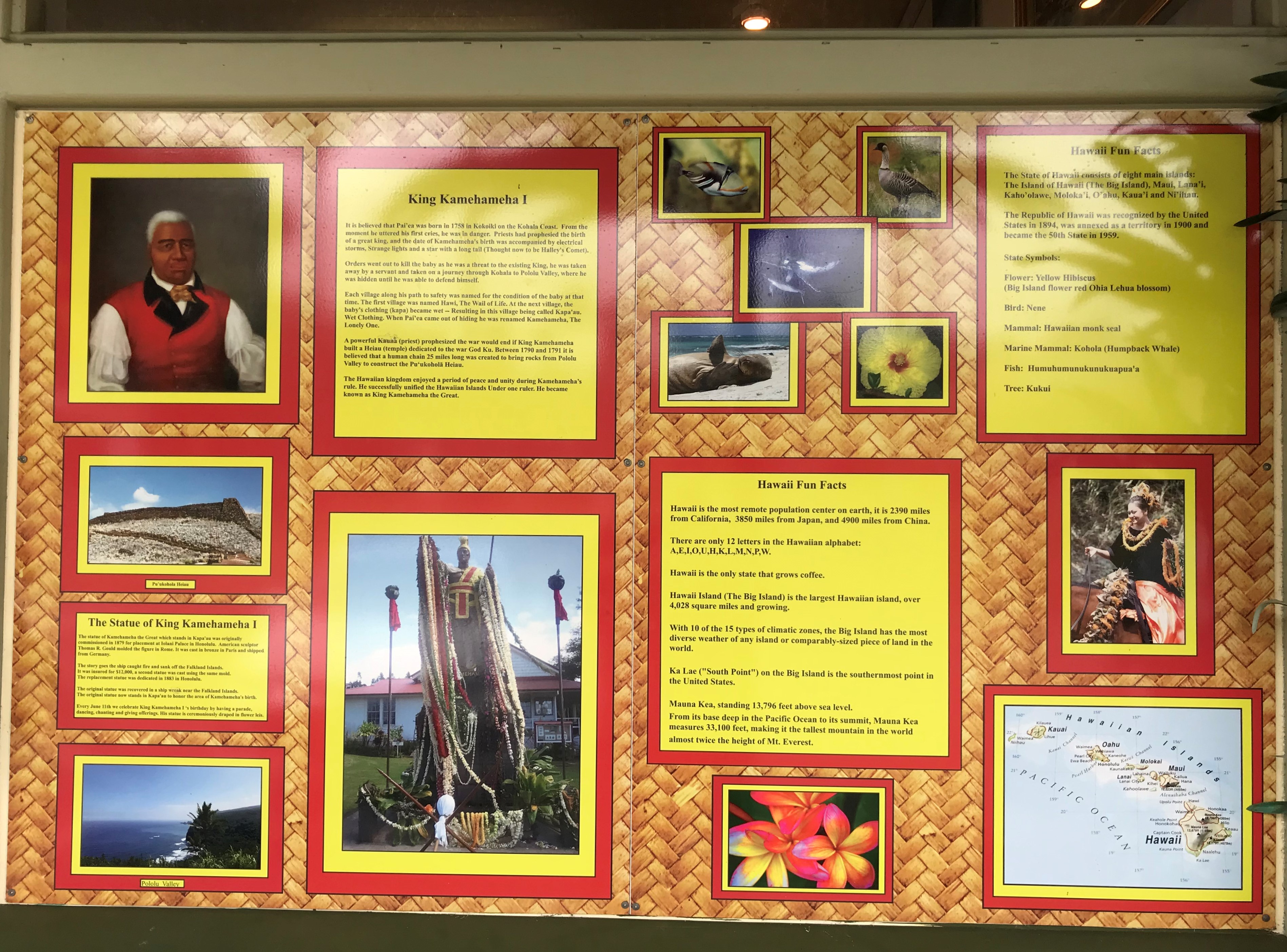
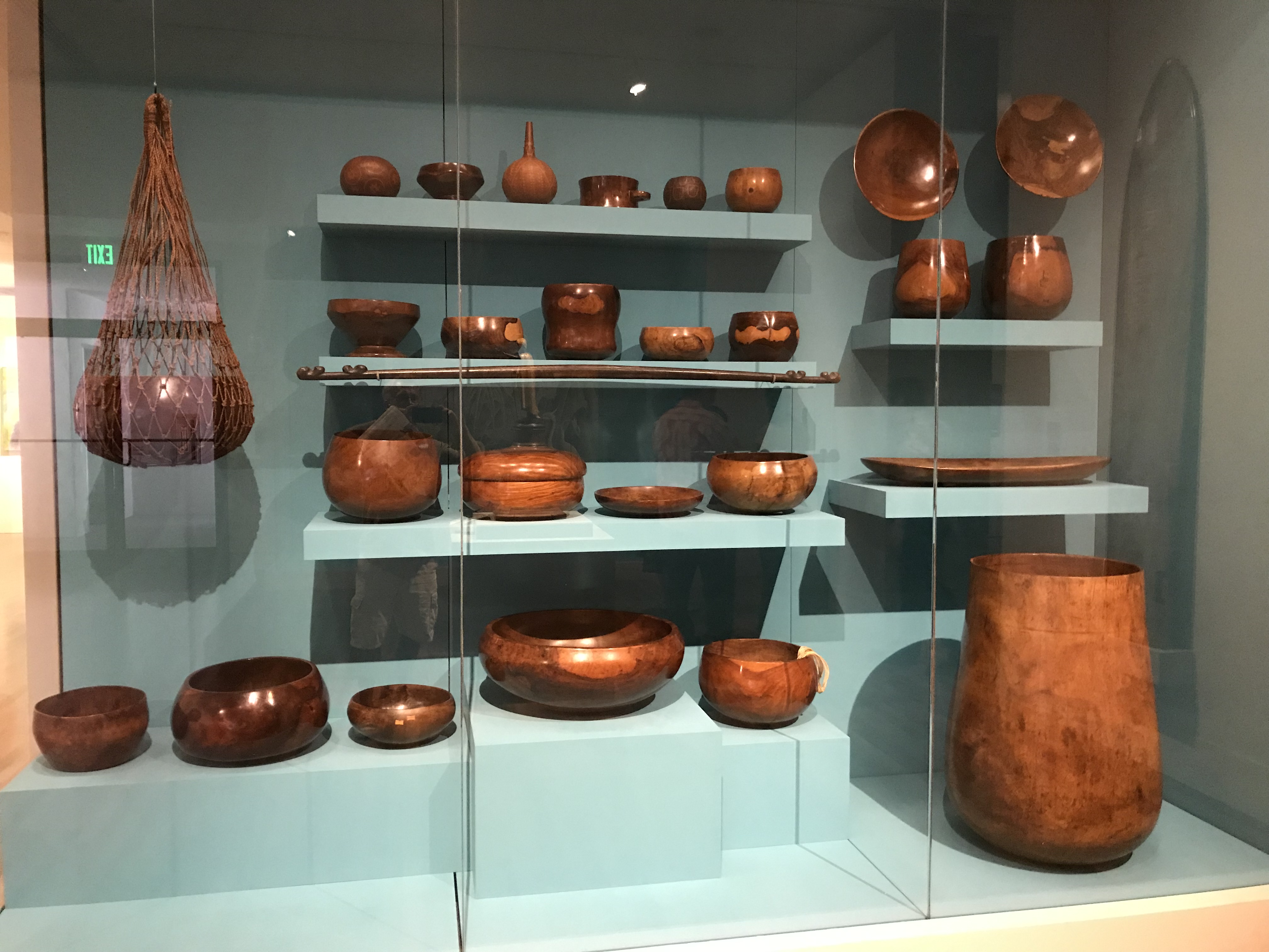
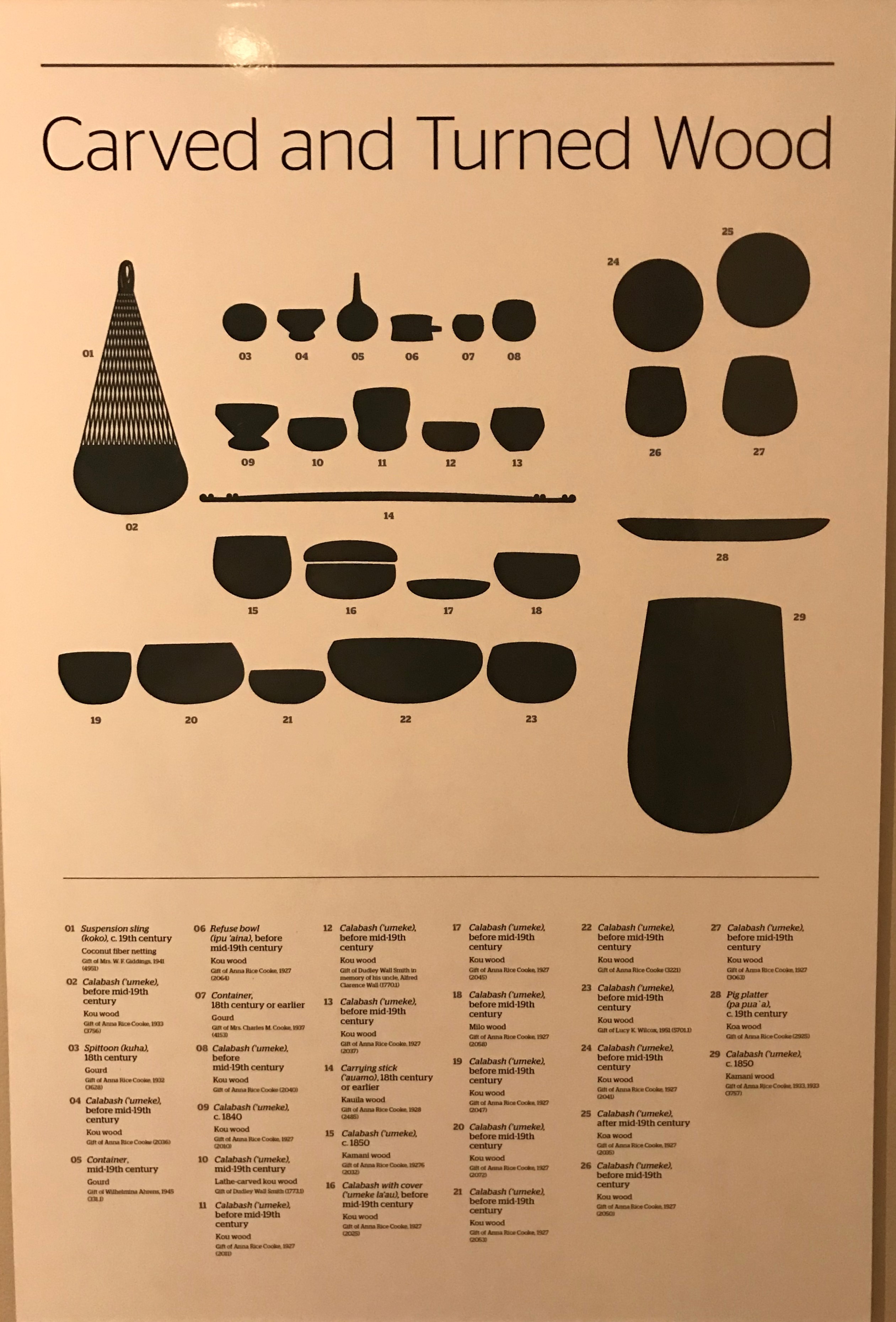
Hawai’i, the Big Island, has a rich history. There are so many places to visit where I can learn about early Hawaiian life and culture as it was and as it is today. O’ahu has the advantage of Honolulu’s Bishop Museum where the telling is on display under one roof I think of how nice it would be to have that museum here for Big Island visitors. Hawi-Kohala and Kamahamaha the Great’s birthplace, the massive Pu’ukohola Heiau he had constructed after bringing all the islands under his rule. https://www.nps.gov/puhe/index.htm
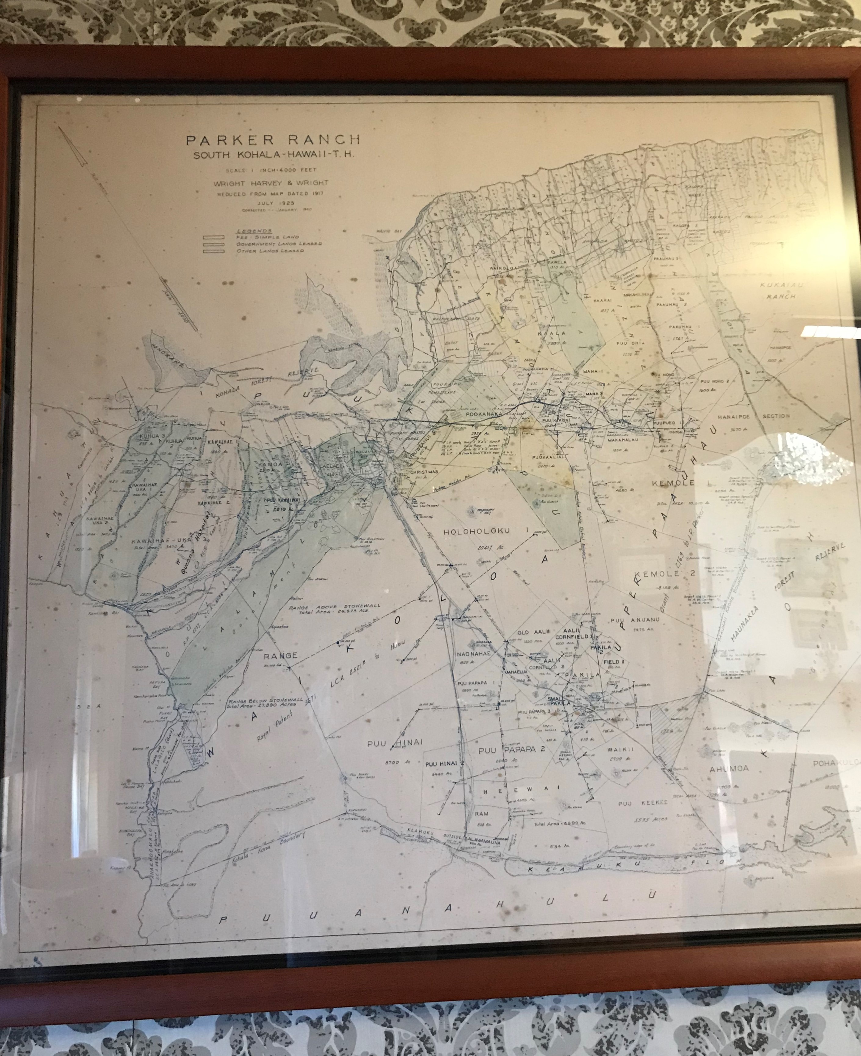
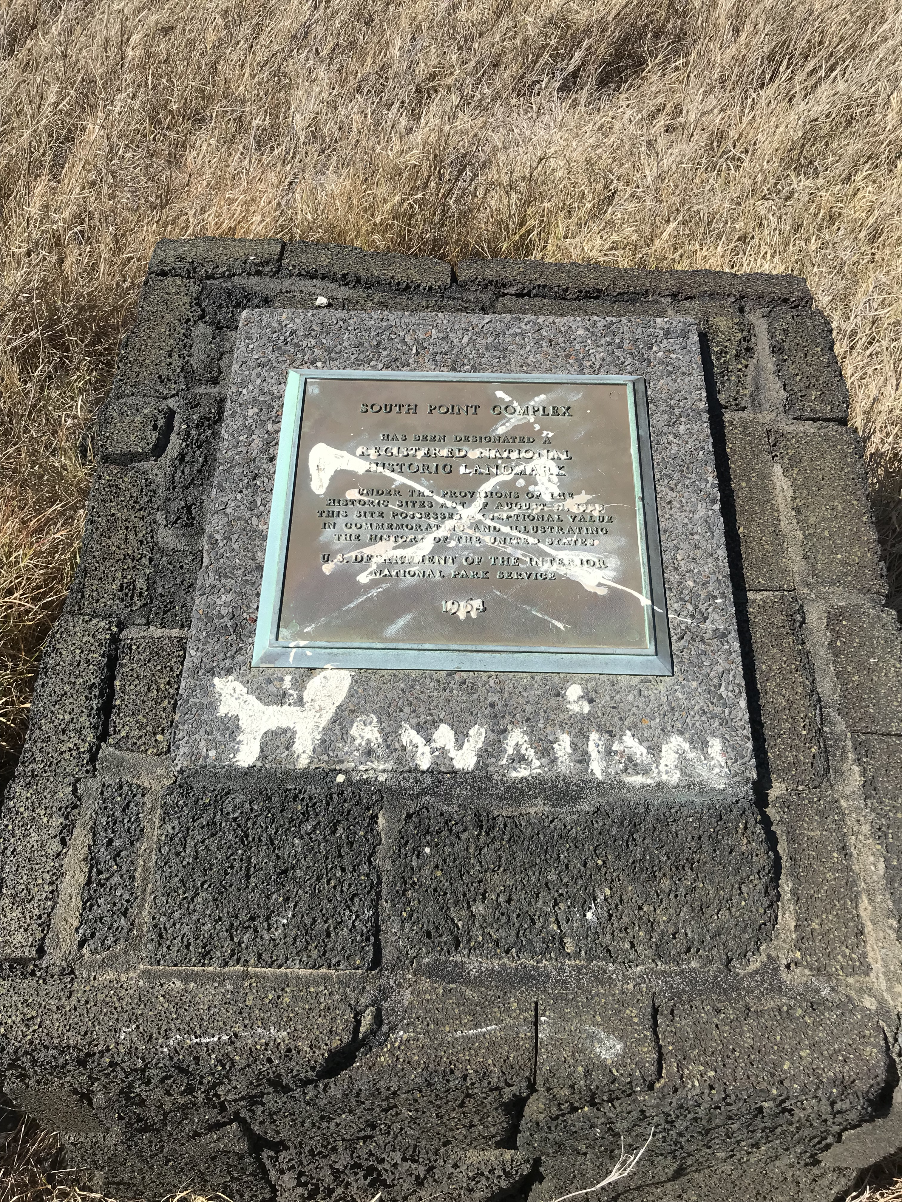
Parker Ranch and its beginnings with John Palmer Parker’s first meeting the king in 1809 then later marrying his granddaughter. Changes in the land system where the King once owned all the land in the islands then private ownership comes about under another’s rule in the 1840’s when Parker purchases his first 640 acres where today it measures over 130,000. The Island adopts market economics in the mid 1800’s selling sandalwood, sugar cane, pineapple and cattle. Today the primary economy of the island is tourism. The population with Hawaiian ancestry numbers around 35% of its total. There is a bitterness among some of that number about, as they see it and understandably so, how their kingdom was taken from Queen Liliuokalani and them by greedy haole businessmen. I would probably feel that way too. At “South Point Complex”, as the government calls it, there is a plaque erected in 1964 with the inscription that the “site possessing exceptional value in commemorating and illustrating the history of the United States”. Those inscribed words are “X”ed over with white paint and the words “Hawaiian” are written underneath. At the place in Kailua where I stayed before Ocean View the owner told me her story of her and her husband, a young married couple, moving to the islands in the ’70’s. I have met a few who also came here during that time when there were jobs easy to find, the cost of living in a group commune was cheap, you could come to the islands and literally camp out and not be bothered by anyone. Food was “free” from the ocean, abundant fruit trees and whatever you could plant and grow. Main landers, haoles, moved into the local Hawaiian’s spaces set up their camps, took a share of the bounty, when over time turning their off the grid “hippie life” into a growing business, buying land and still leaving islanders on the outside. I understand the anger, probably feeling invaded and defeated. Hawaii becomes more popular as a tourist place this pushes more against their traditions and way of life to covering over ancient sites with hotels increasing the cost of living to where today, I’m told, in some cases it takes 4 or 5 adults living together to make ends meet. Side work is common, many move to the main land for better opportunities. AirBnB, VRBO are other ways islanders on somewhat fixed incomes, including retired haoles, try to stay ahead but now the hotel/restaurant lobby has this difficult too as the rules have changed in their favor. Hawaii is the most expensive state to live in and having been here for 3 months and staying as close as I can to the budget I set for myself at the beginning, I understand why many struggle.


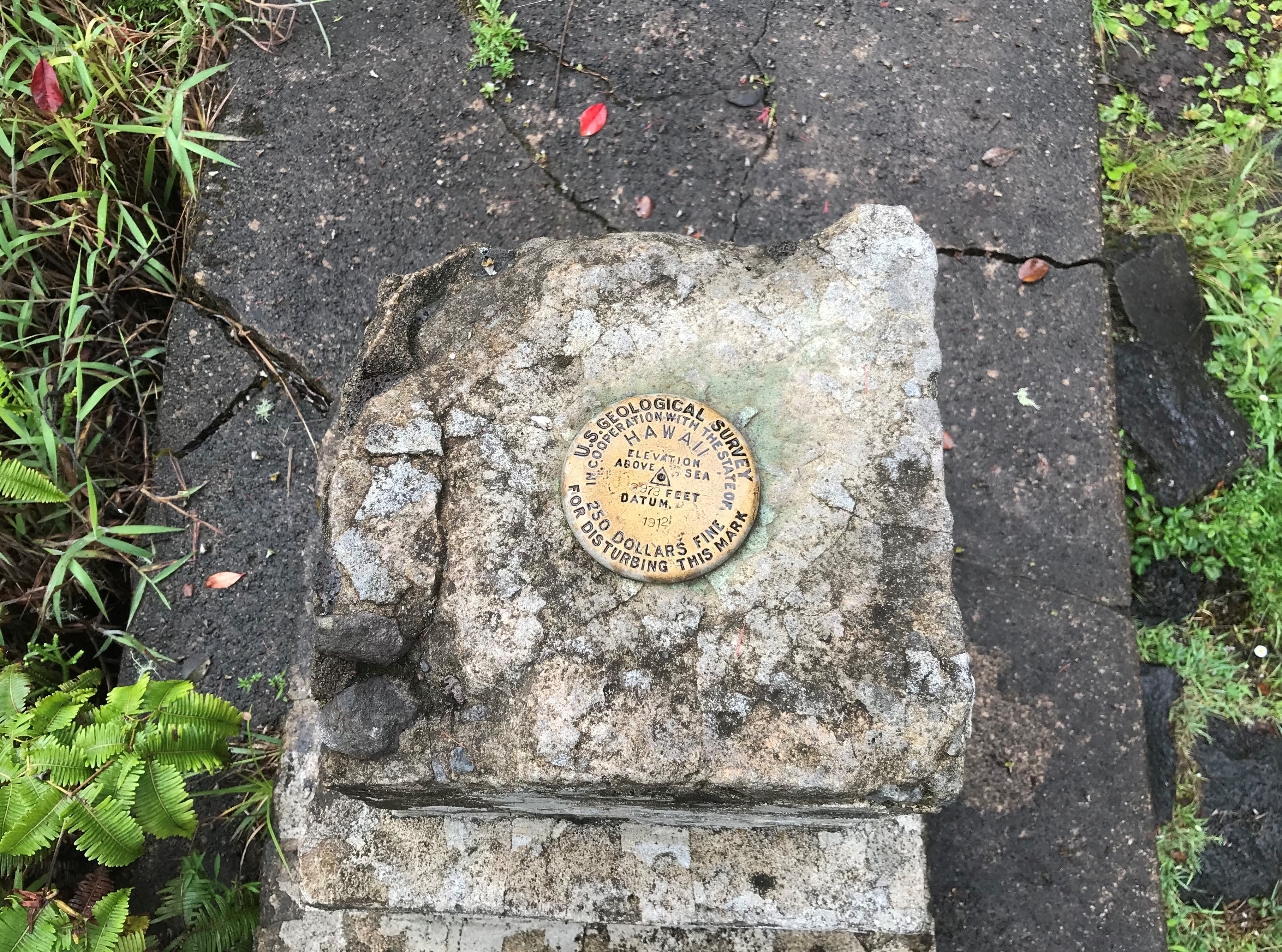


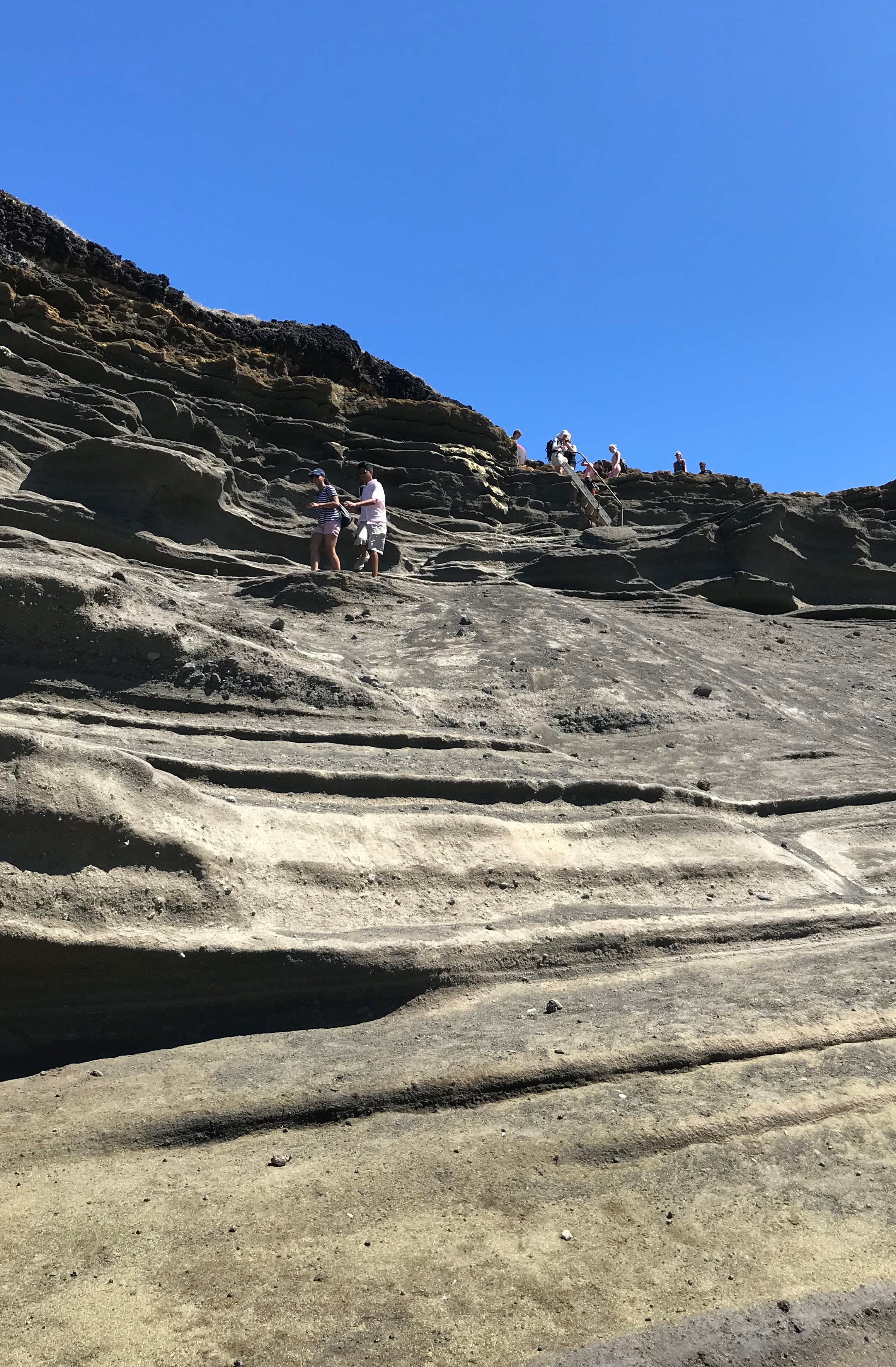
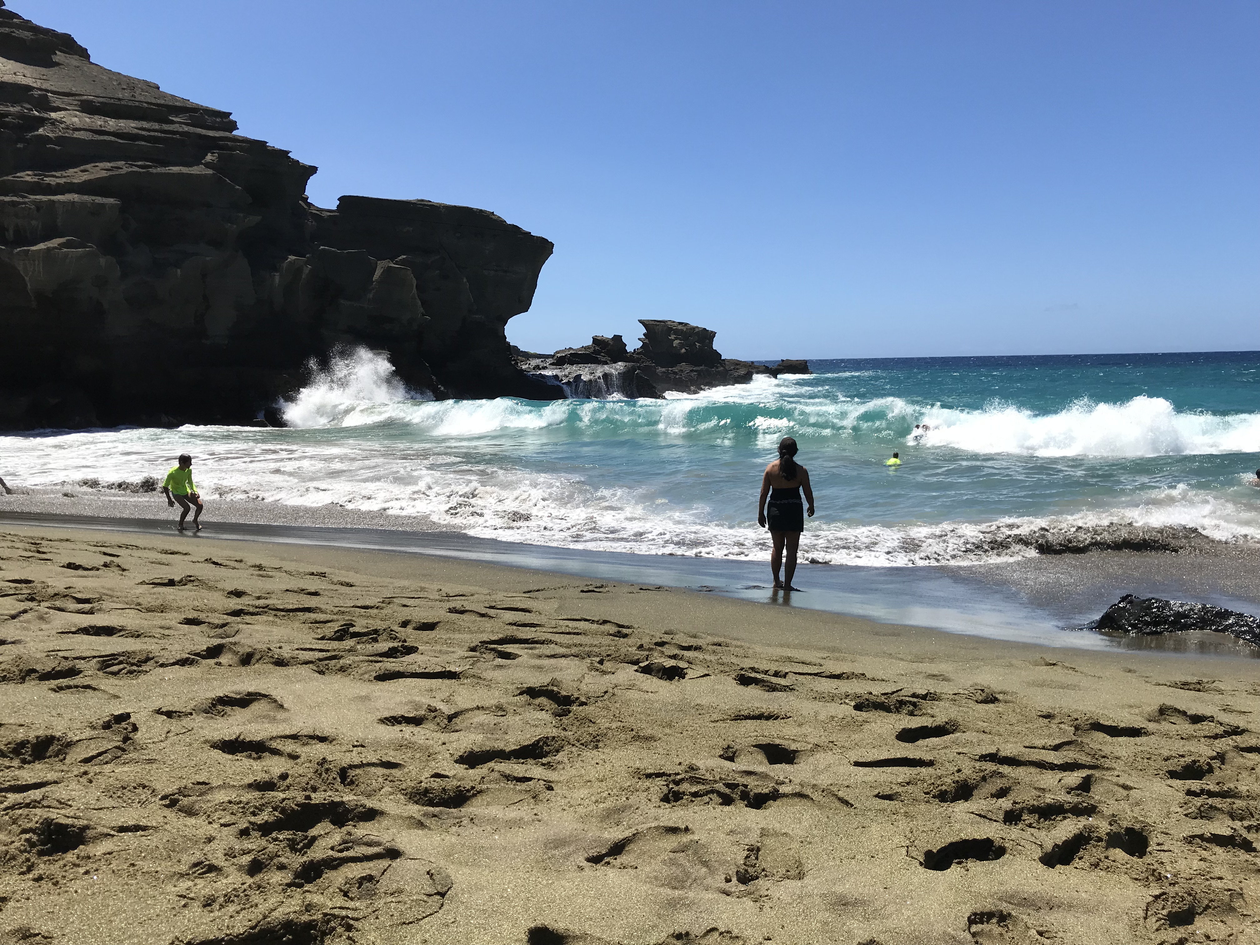
Green sand beach gets its name from the green olivine crystals that make up the sand. The crystals come from the cinder cone next to the beach which was formed during an eruption 49.000 years ago.
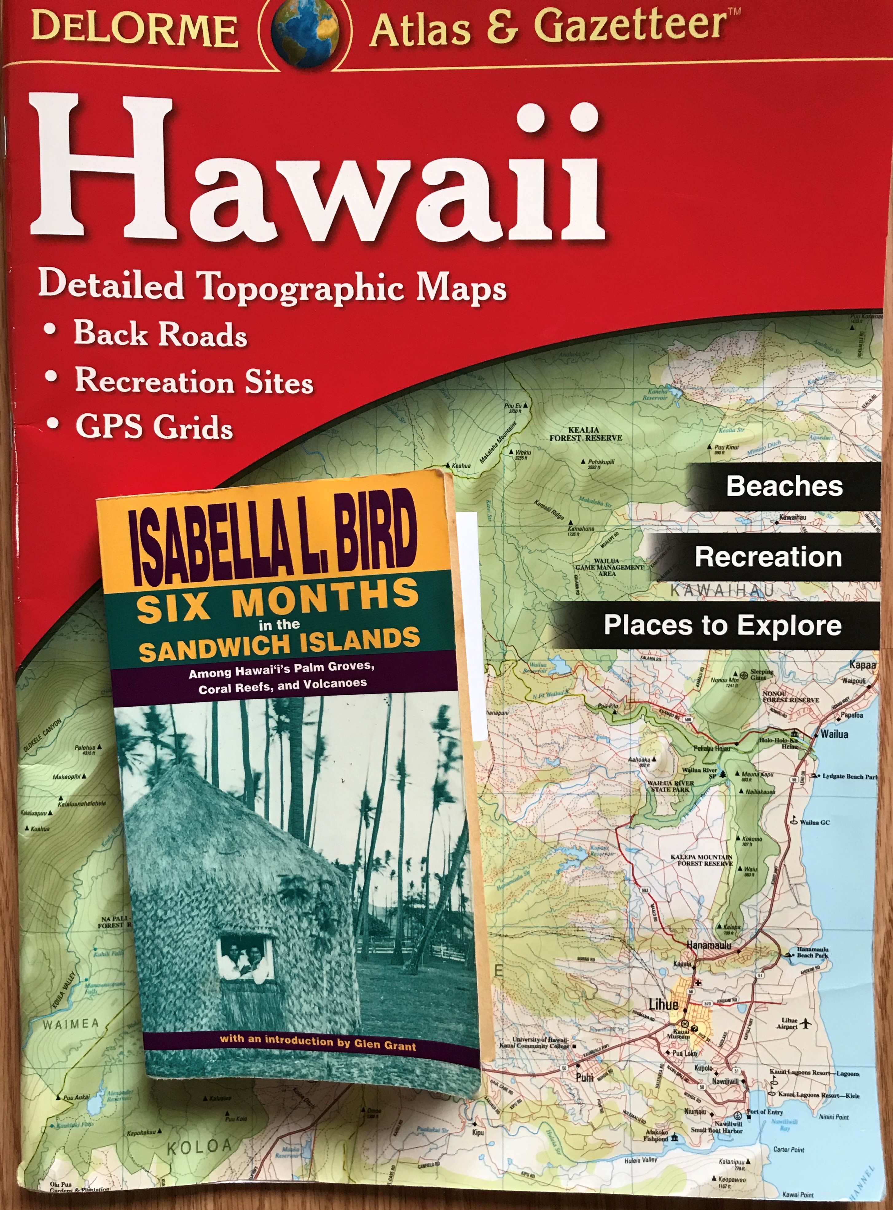
Monday I found this book by Isabella Bird in a second hand bookstore in Kailua. It’s a collection of letters she wrote in 1872 to a relative in Scotland. Just beginning it I’m looking forward to reading her perspective as an outsider who experienced the island and island life before the overthrow of the monarchy. So far her trip has taken me from its start in New Zealand to arriving at Honolulu on January 26, 1872 where, she seems to be saying, Hawaii and Hawaiians begin their seduction with a beauty and kindness that leaves her wanting more and so she decides to stay. Of course my photo is a bit of a tongue in cheek comparison. My “journal” is a purchased map and my experience mostly shown through the photos I’ve posted. https://biography.yourdictionary.com/isabella-bird
Earthquakes from Mauna Loa and Kilauea: When Sharon and I were staying in Pahoa on the Hilo side of the island I could from time to time, mostly in the morning before getting out of bed, feel a small quake from Kilauea. The alert level was raised to yellow yesterday because the scientists are noticing an uptick in movement underneath both volcanoes. Last evening Mauna Loa gave a kick and the house here in Ocean View felt it. Not to be alarmed as quakes are common, the advice is to be prepared for anything.
Hawaii, Hawaii has had: (M1.5 or greater)
https://earthquake.usgs.gov/earthquakes/eventpage/hv71032367/executive
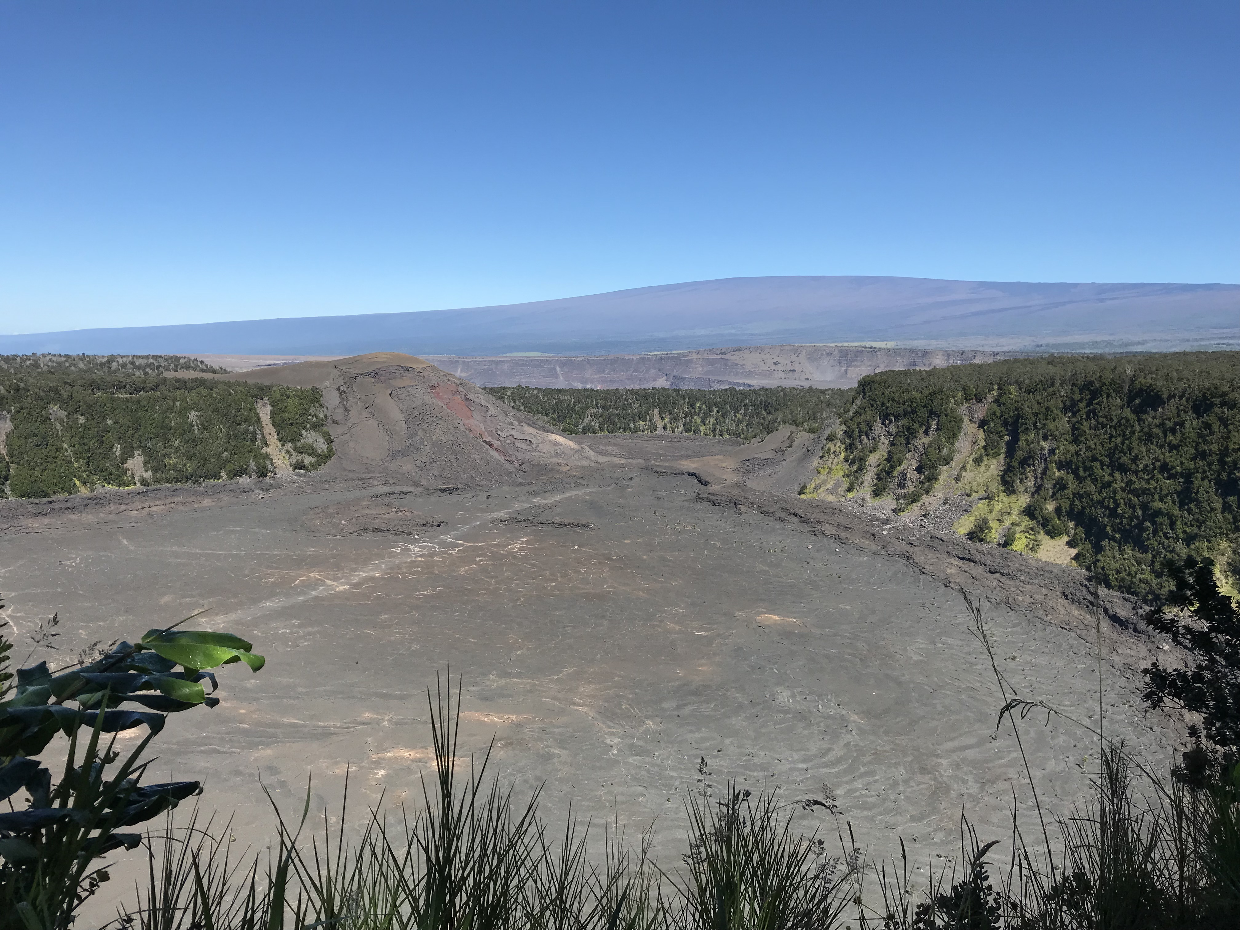
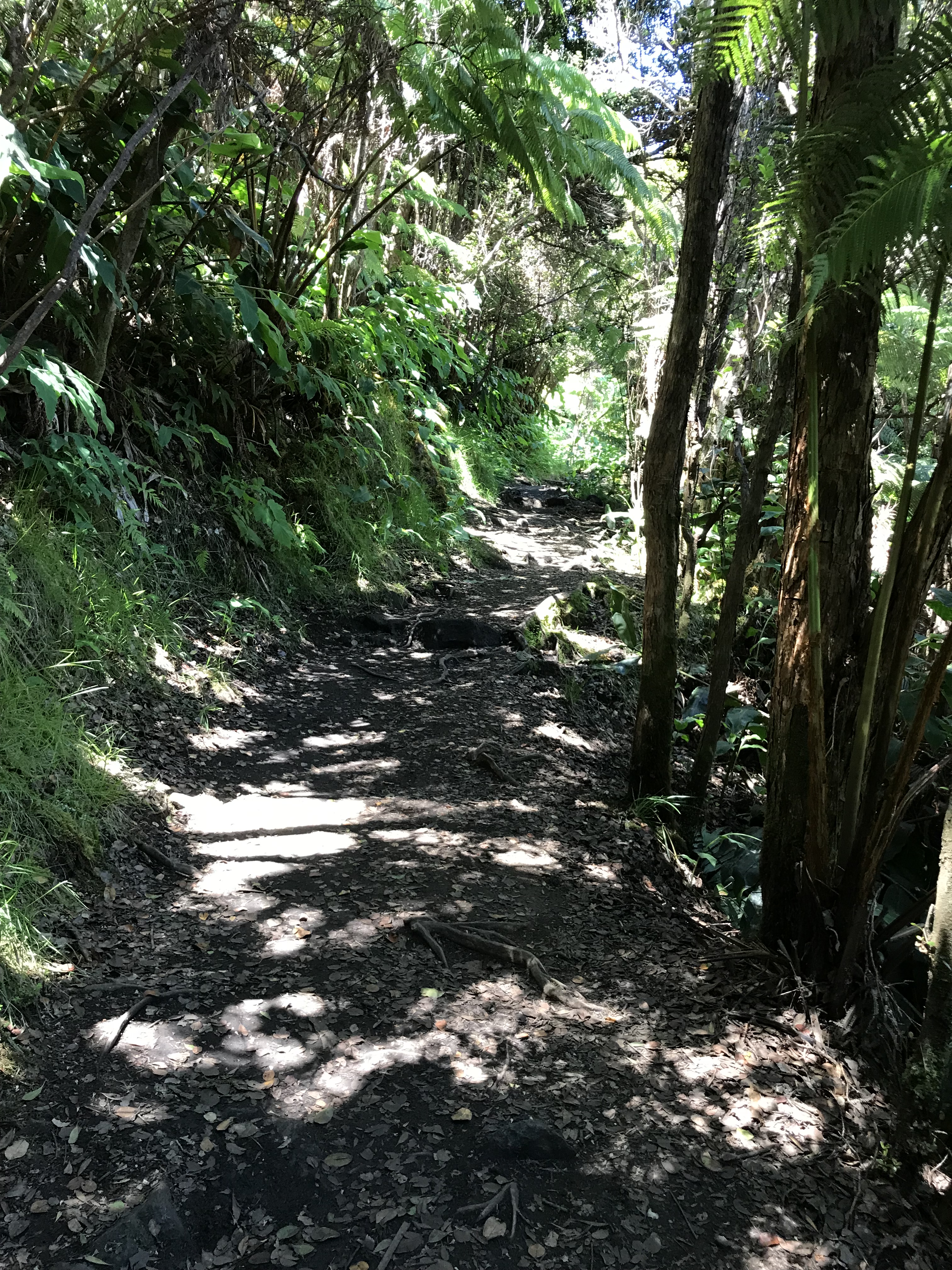
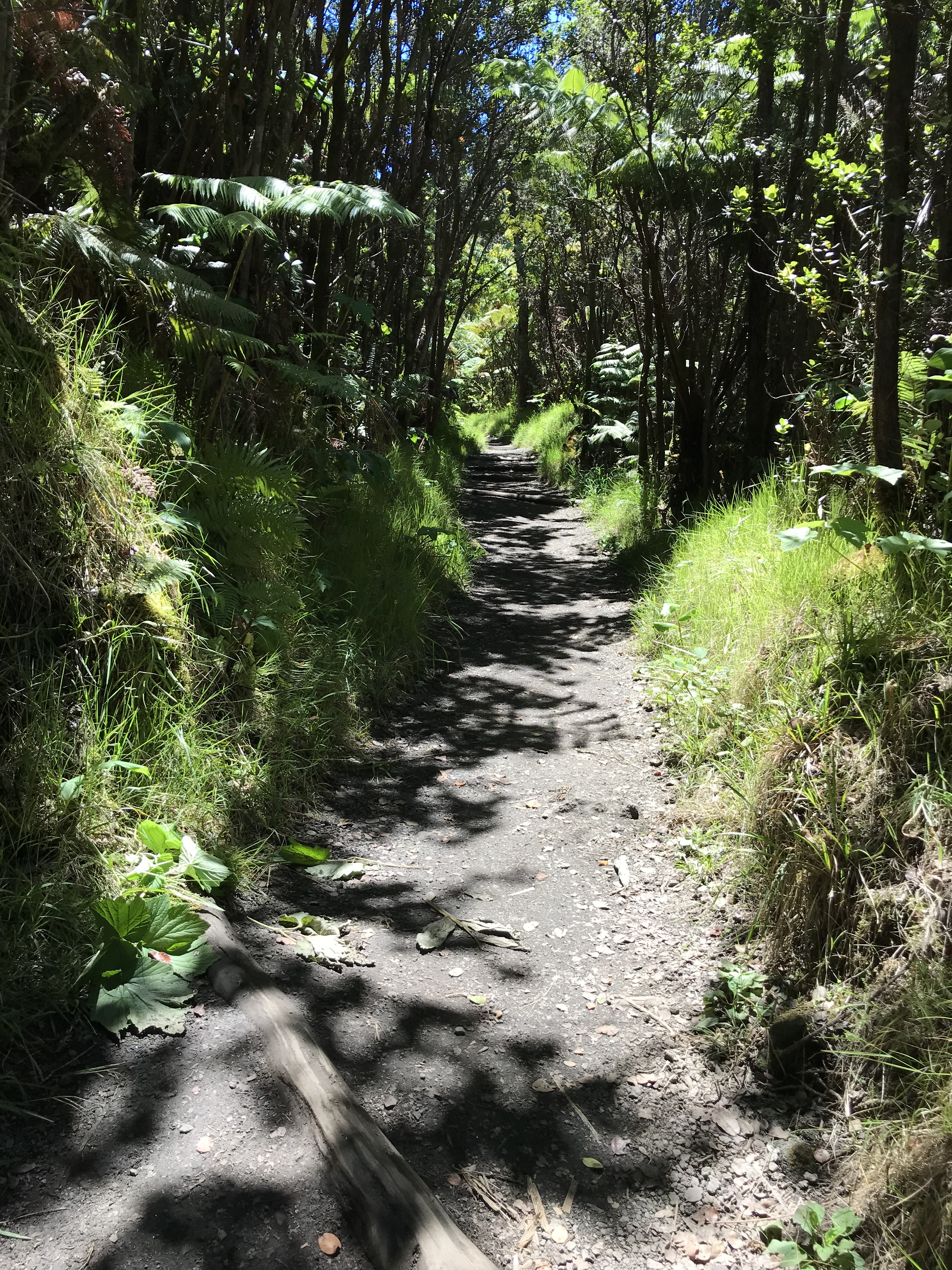
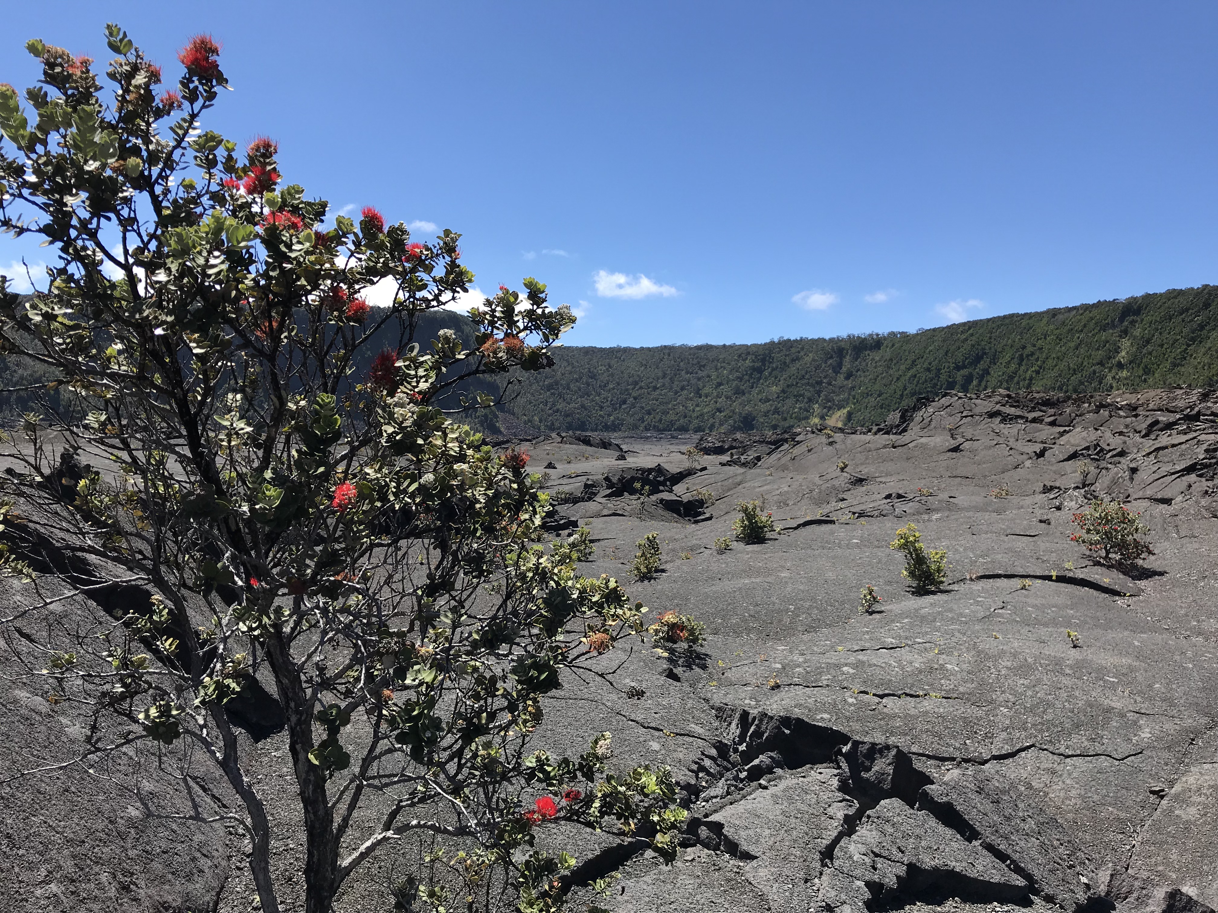
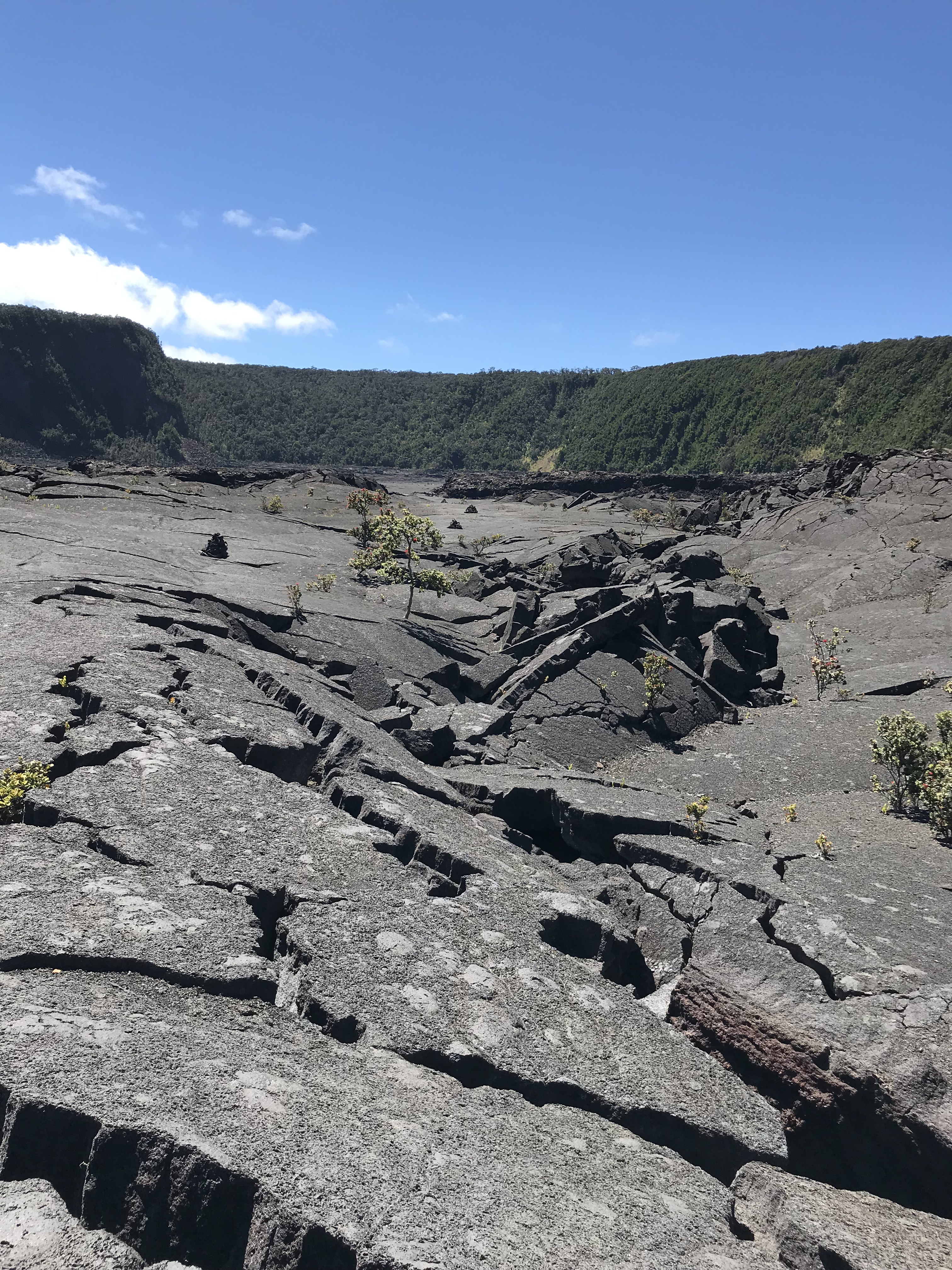
I leave tomorrow from my 3 week stay here in Ocean View at the south end of the Big Island moving back to Kailua-Kona until the 22nd. I started my visit last May at quiet Hawi on the north end and comparing that time to this Ocean View is more remote, quieter, if that was possible, fewer neighbors, and a seemingly darker night which helps to see more of the Milky Way and a star filled sky. There have been more places to hike though fewer beaches to swim, no restaurants even though the “town” center with the grocery stores are more convenient. Everywhere I’ve gone in Hawaii since arriving back in April I have found almost everyone I met to be pleasant and nice. Last July 4th weekend I had a nice conversation with a yoga teacher from Vienna VA followed by the next day one with a hitch hiking surveyor who in 1973 laid out lots in the subdivision where the house I’m staying was built. That same day I met the yoga teacher I help a fisherman hook his trailer up to his truck and within a few sentences asks me if I’m from Maryland. All this time I thought I had a Scottish accent. Eh, mate? There are friendly critters everywhere. Dogs sleeping in the middle of the road or patrolling their property with suspicious alertness and of course roosters crowing at a more reasonable hour though still before first light. My cat companion who lives under the house, wary of me, watching, keeping a distance is at times an annoying night explorer. I hear it moving things under the house or sometimes playing on the front porch with a friend. This house is on a lot cut out of a 40 acre square on the side of Mauna Loa tucked in between the flows from the 1907 eruption. Except for the nearby hike in the State Park where on a wet morning the masquitos where a bother my other hikes here are what I was looking for. On the slopes of Mauna Loa I’m walking either up a hill or down compared to walking along the ocean side, parallel to the shore, on generally flat ground. Sunday, July 7th, I drove to Volcanoes Park Kilauea Visitor Center to hike the Iki Crater, best to do this before noon though many times on my visit wherever I’ve hiked I see folks with young children hiking up and down the slopes at all times of the day. It takes me about an hour to hike 2 1/2 miles on Hawaii’s slopes, taking an even pace up, down and on the flat at the far end looking back toward the parking lot I imagine what it might have been like to cross the Iki crater and stand at the rim of Kilauea (the volcano is active still but you are not able to view an open pit as it’s now covered over). In 1873 Isabella Bird made the 30 mile horseback trip from Hilo, she writes about not knowing what to expect:
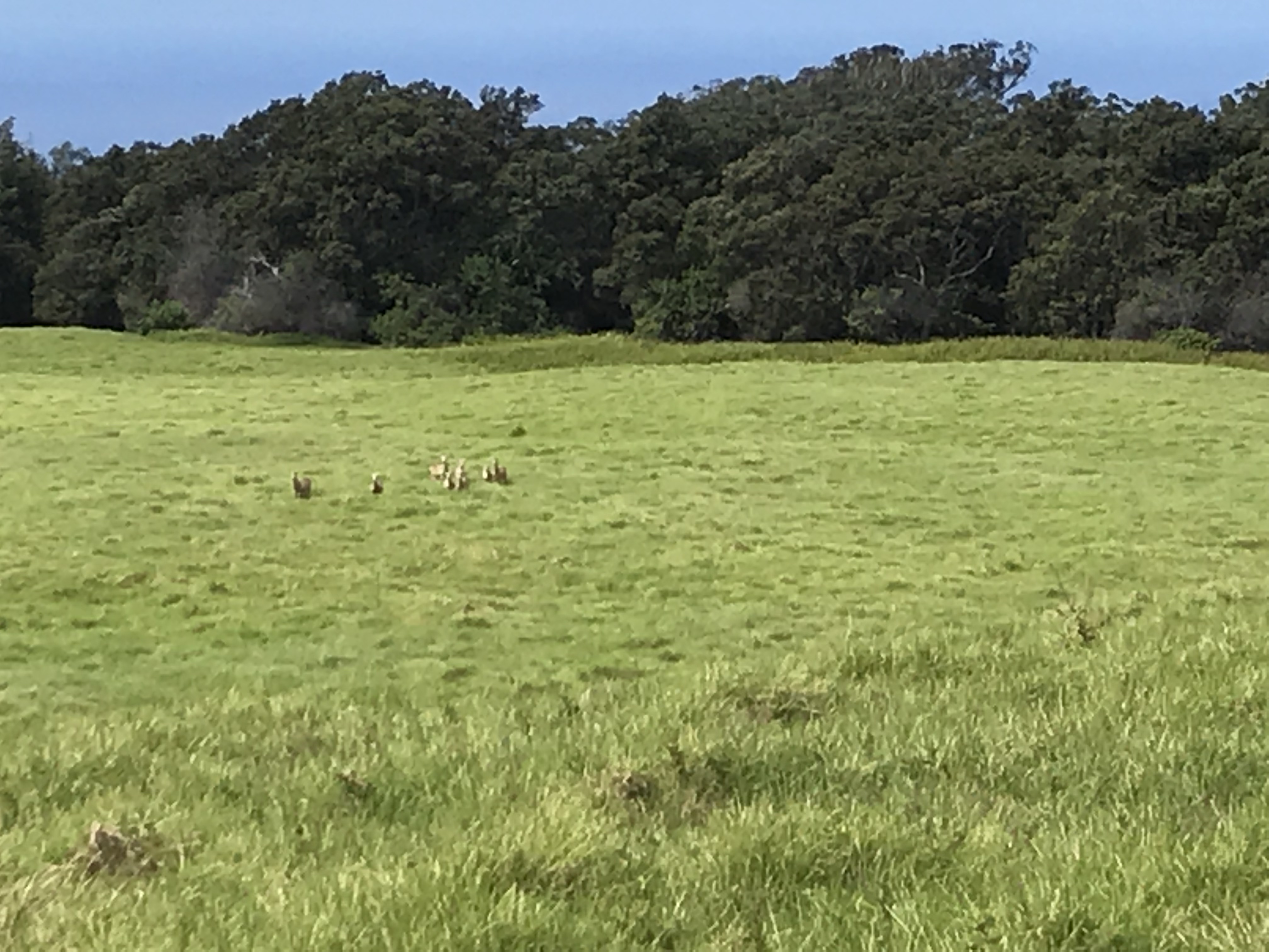
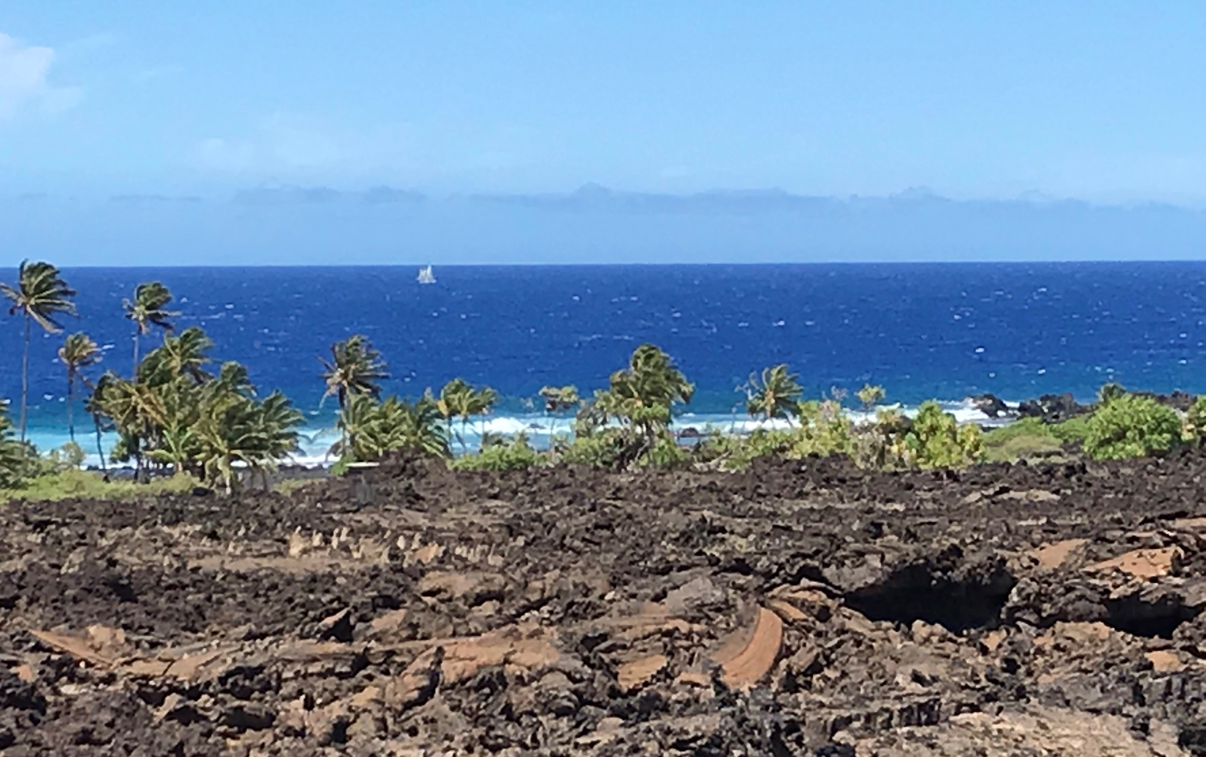
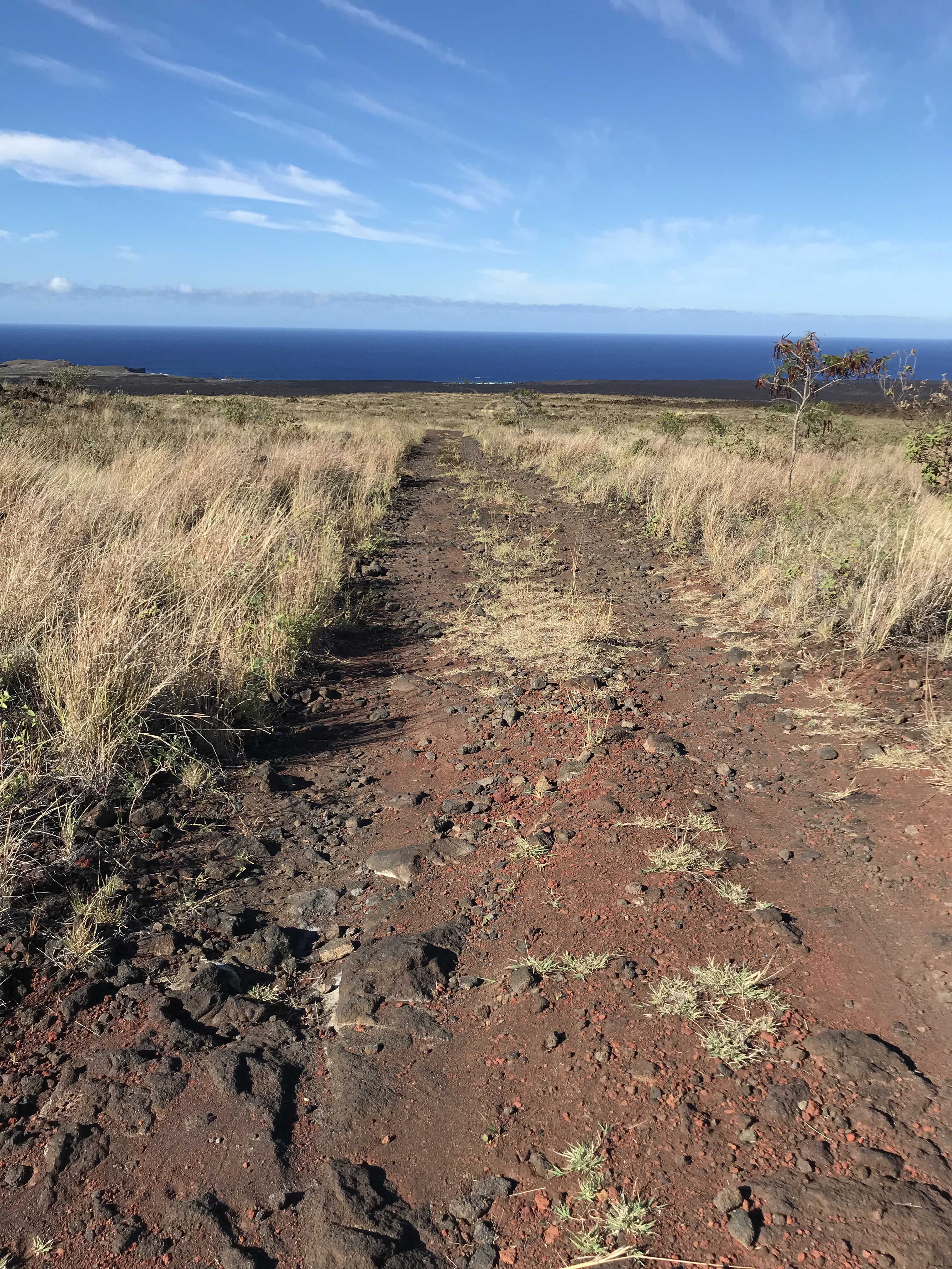
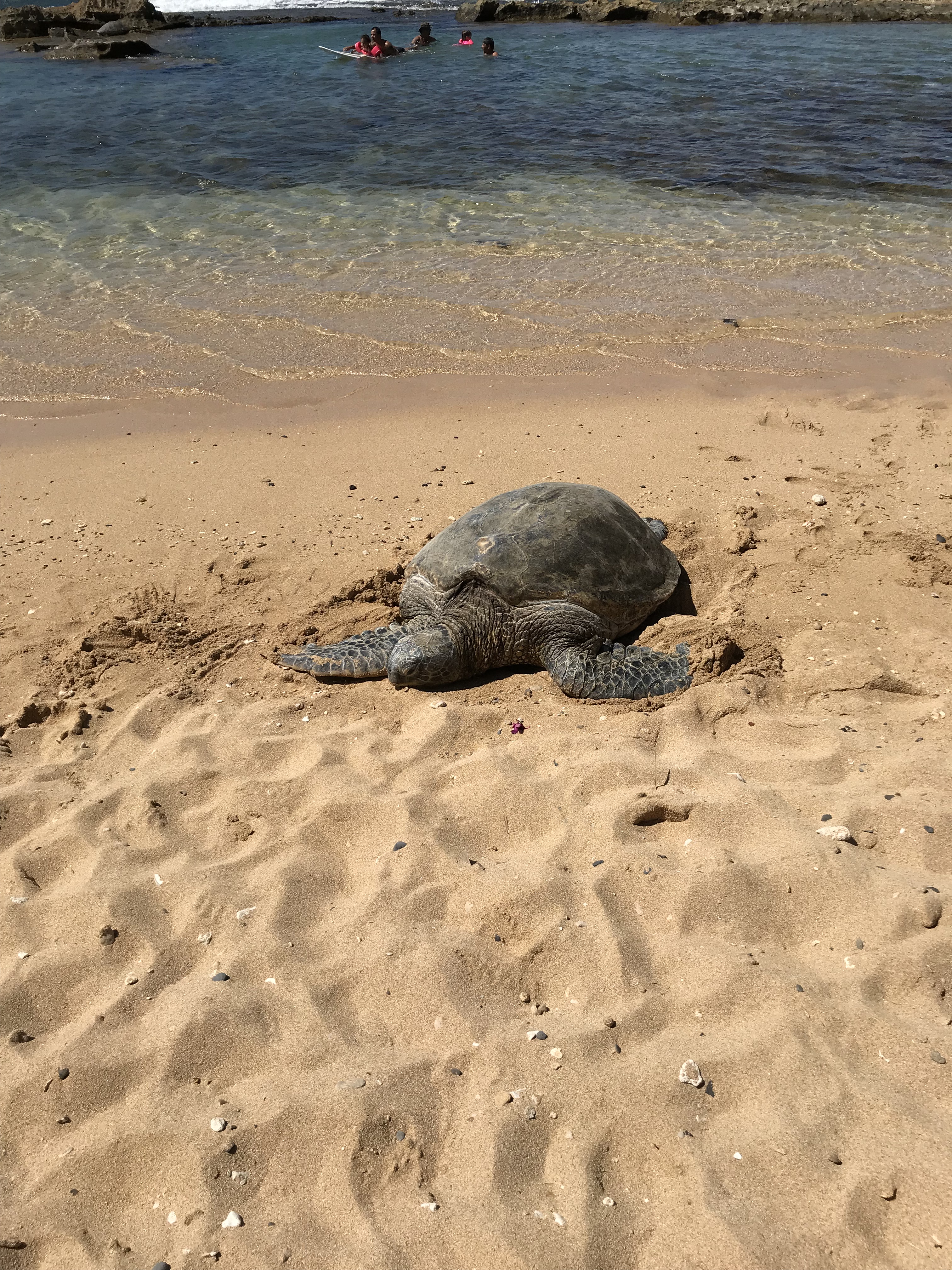
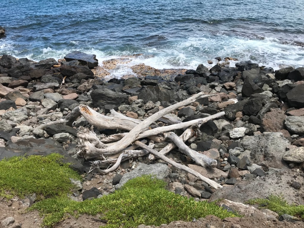
The weather, like the sky and the ocean, changes hourly. The forecast can be relied on to some degree (ha, ha) but should really be confirmed by looking at the sky. That said, planning the hikes I wanted to take before leaving depended on sunshine. The day before the Iki Crater hike I drove to the end of a road in the across the highway subdivision from the one where I’m staying to make the trek to secluded Pohue Bay. The 2 1/2 mile hike to the beach is entirely over the 1907 lava flow, nothing grows except a few scrub O’hia “shrubs”. I cross paths with a small herd of wild sheep (Mouflon, Mediterranean sheep) as I follow along what was a 4 wheel drive path, making a hard turn left close to the ocean to continue on parallel to the water for a 1/4 mile where I find this lovely beach which I later find out is a Hawksbill turtle hatching ground. I spend an hour sharing the beach with no one, it’s beautiful and peaceful. The surf is too rough to swim alone and I’m not willing to risk an accident putting me out of commission for any time I’m here. Just being there on the sand under the shade of the coconut trees looking at the ocean, the beach and a sailboat moving along is enough. On leaving I meet 2 UH research students keeping watch over the turtle nests and am told they are soon to hatch! The nests are covered with chicken wire cages as even in this out of the way place mongoose and rats find what they are looking for. On the walk back a family comes by in a jeep (taking them 1/2 way), I wave, and another who have been to the beach many times are packing up their gear for the walk in. Not a secret to the dedicated trekker.
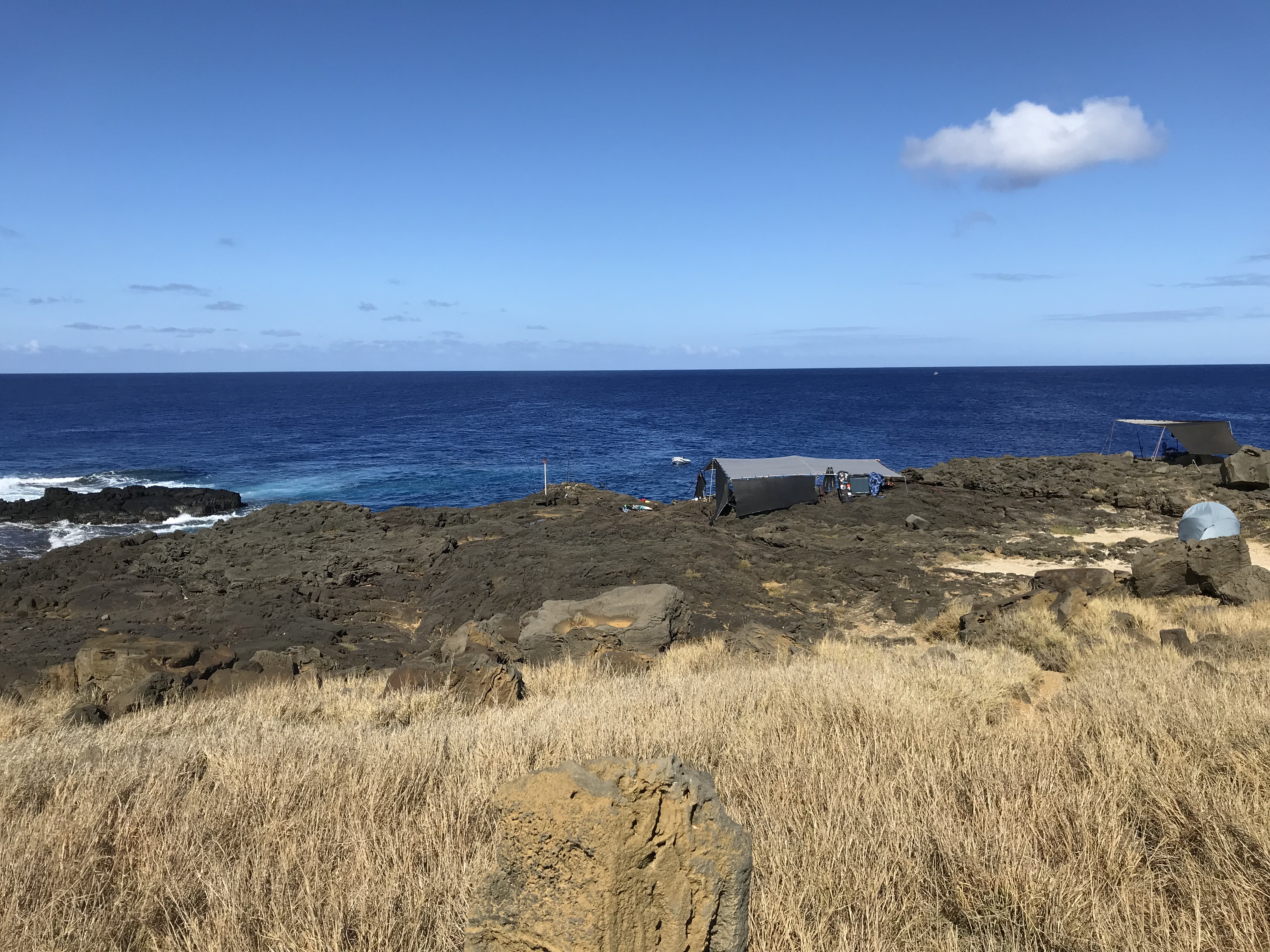
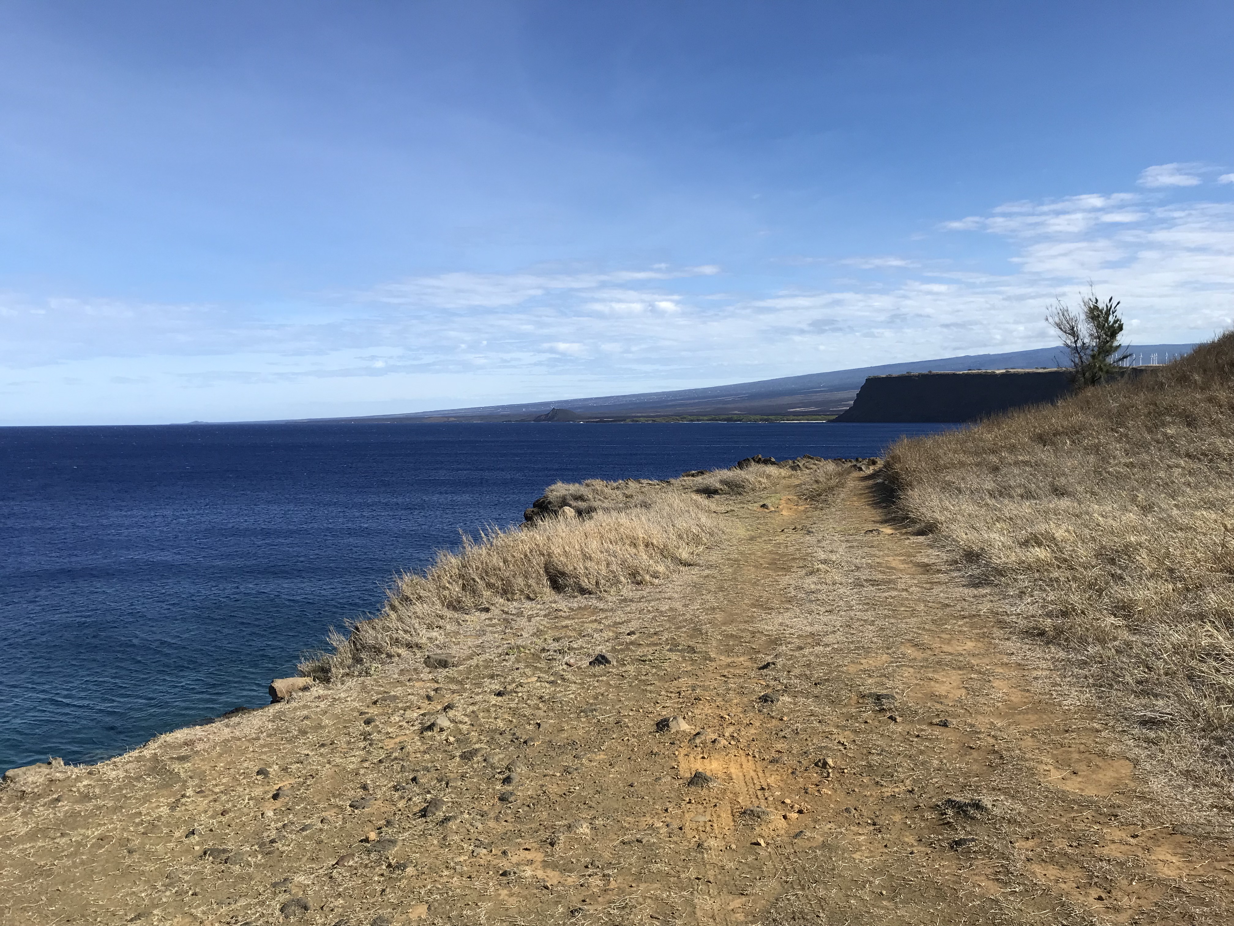
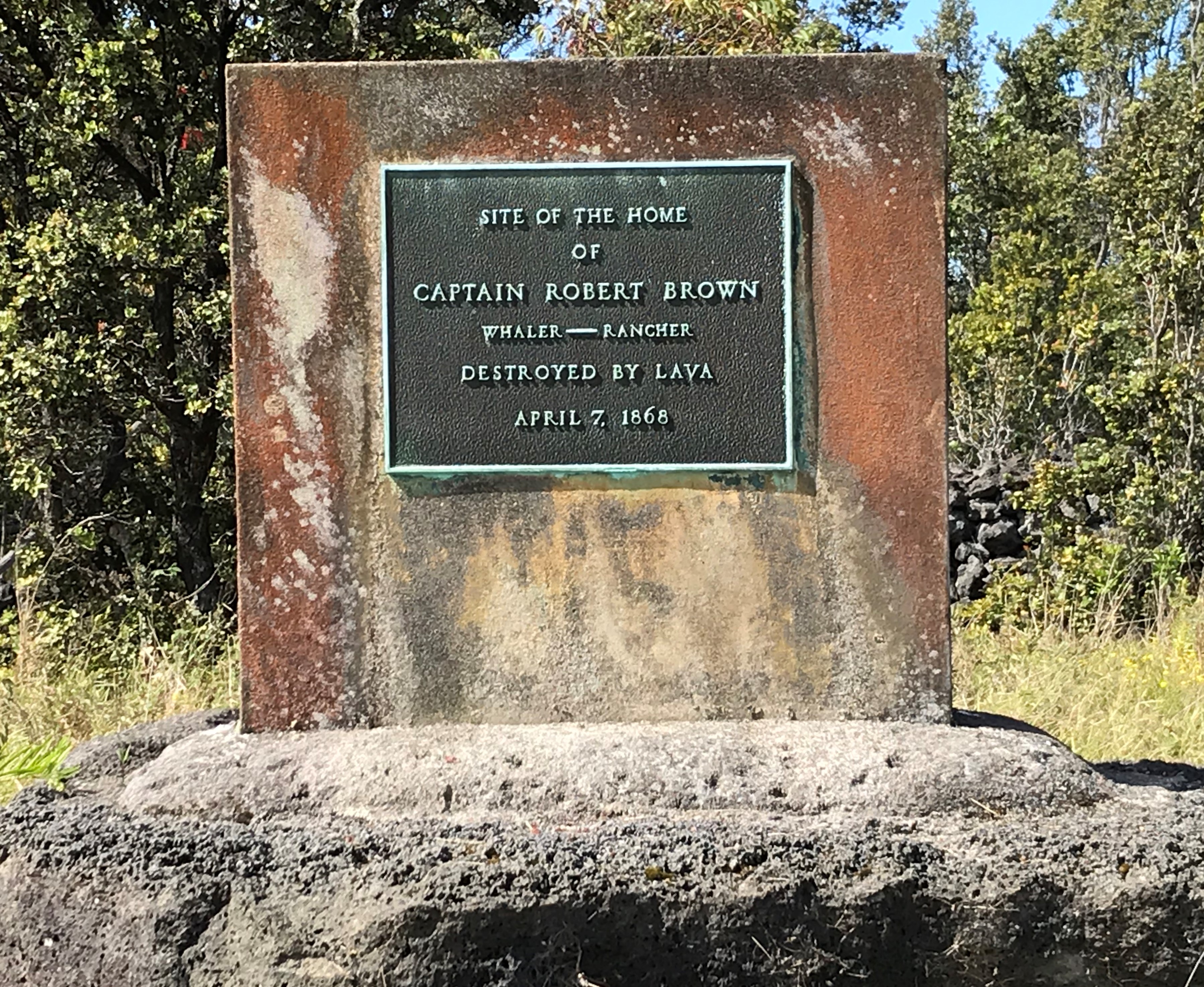
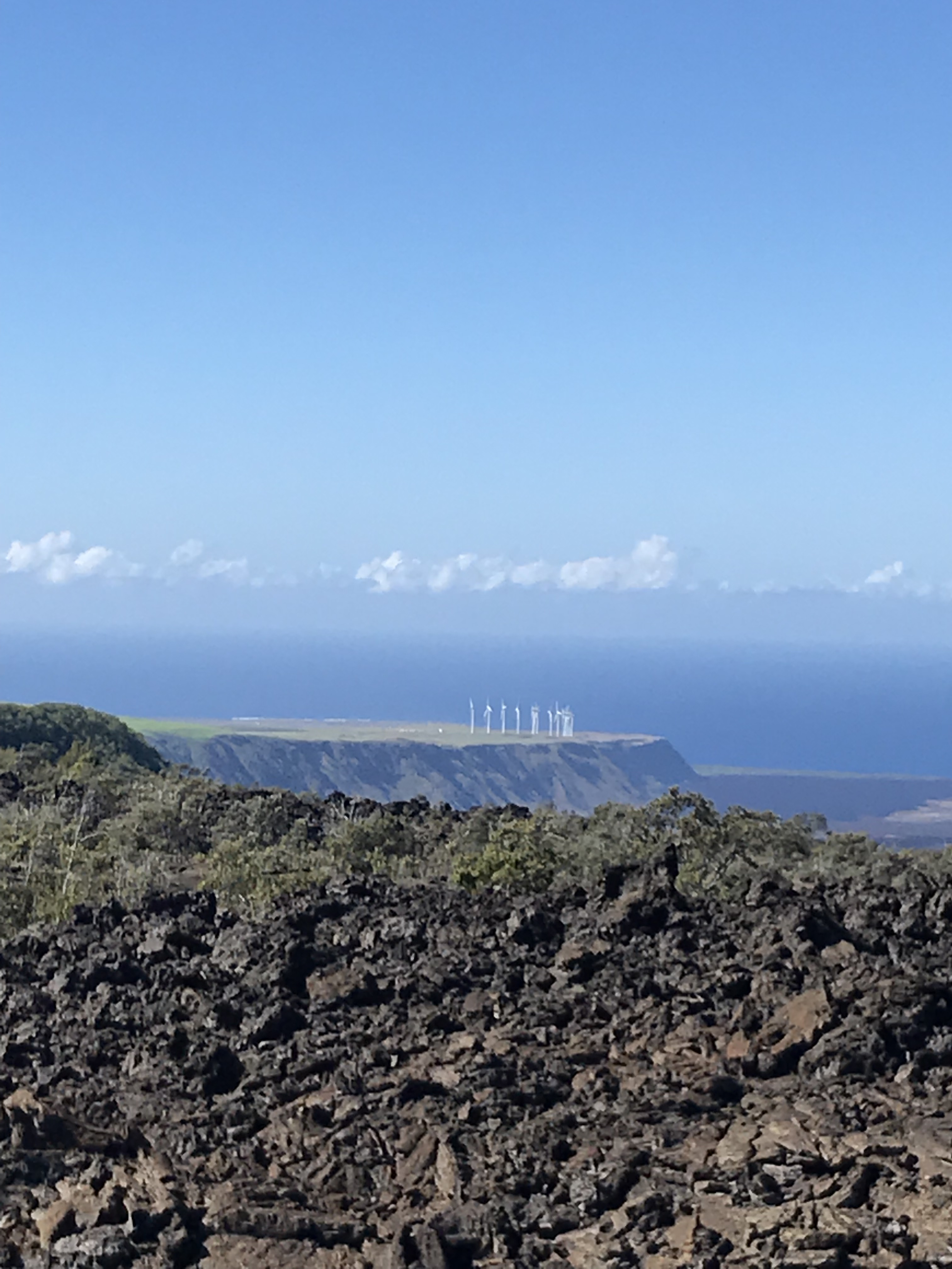
I have not spent a day on my trip without wonder at what I see on these islands. The photo below of the wind farm sitting on a plateau 400′ straight down to the ocean catches my eye whenever I drive past. I imagine the lava flow that formed such a shape and find from my map that there is no record for the flow that the wind mills sit upon but the ground at the base of the cliff is made up from the 1868 flow that swallowed Robert Brown’s farm and nearly his family. I wonder if there was a bay the 1868 flow filled in and if there was what did it look like with such high walls of lava guarding it’s flank? When on a trip to the South Point I wander over to a fisherman’s tent and asked how he catches anything with his lines 30 feet above the water with the rocky shore beaten by a shifting tide and surf and he tells me that the fishermen tie a kite like set up to the end of their lines and let the wind pull the bag with hooked end out over the water and when it’s out far enough they pull the kite in and let the line drop. I notice a plastic bat tied on the end of the rod and he tells me when the bat gets yanked up/down? (not sure which) he knows that there is something on the end, reeling the fish in a zip line set up with a fish gaff hoked on slips down to snag the catch which is hauled up 30 plus feet to where he’s standing. Do you sell your catch? I ask and he, like others I’ve talked to, gives away to family and friends what isn’t kept https://www.nps.gov/havo/planyourvisit/upload/Puu-o-Lokuana-Trail-Guide.pdf
Annie Brown Spencer wrote of the 1868 eruption: “Over 3,000 earthquake shocks in 12 days…. No words of mine can do it justice.” March 29, 1868 – “A dreadful night. Heard from Kahuku – the house is in ruins. Poor Mother was terribly nervous, but kept up bravely. A fow was reported on the mountains.”
April 1, 1868 – “Last night the shocks were many and hard, consequently our rest was much broken. God only knows how long it will last. We are going to Kahuku tomorrow to get some books.” April 2, 1868 – “We went to Kahuku. All the folks were well and very much pleased to see us. In the poor old house, walls were broken, with cracks a foot wide and furniture was sliding toward the center of the foor. I managed to wrest open the bookcase and get quite a number of books. Mother was afraid the walls would fall in and injure us. After we returned home, there was a most frightful earthquake…..absolutely impossible to stand or walk. Punaluu and Honuapo [nearby coastal towns] are desolate. A tidal wave swept all away. Many lives are lost. There have been terrible landslides, with 30 people buried inside of a minute. The earth is in constant tremor. All our houses are much shattered but we thank God that none of us are injured. Oh, it is terrible.” https://www.nps.gov/havo/planyourvisit/upload/Puu-o-Lokuana-Trail-Guide.pdf
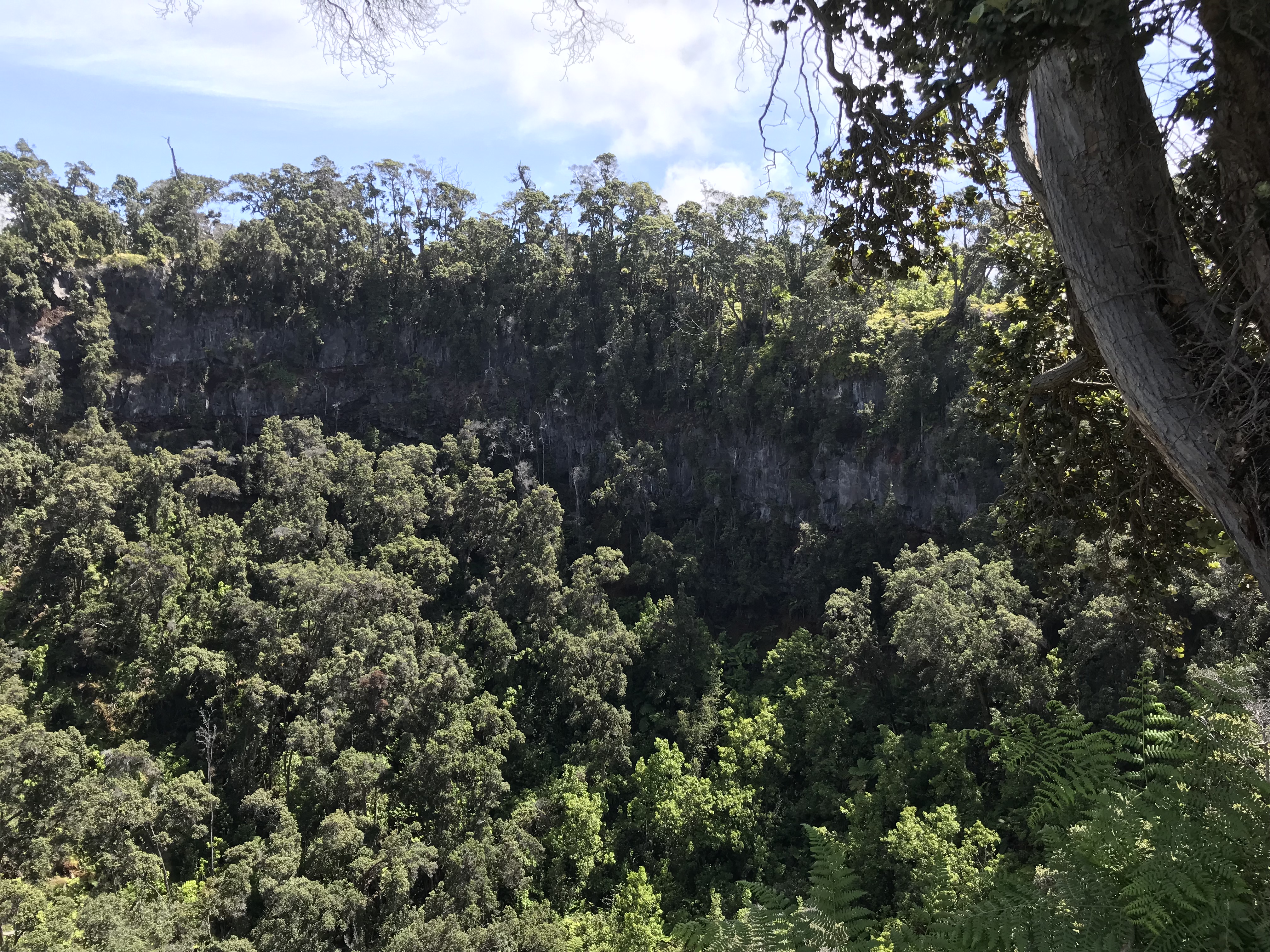
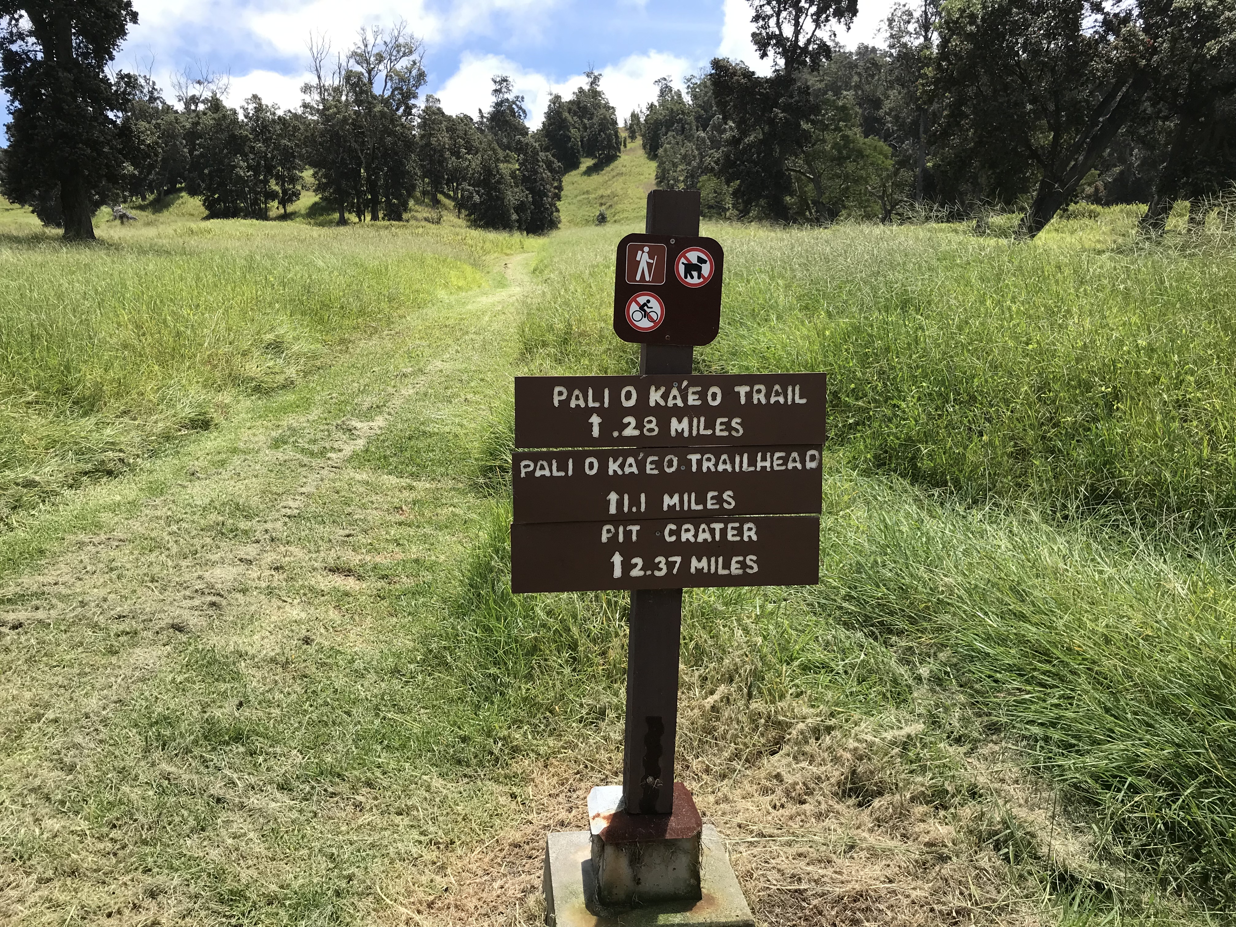
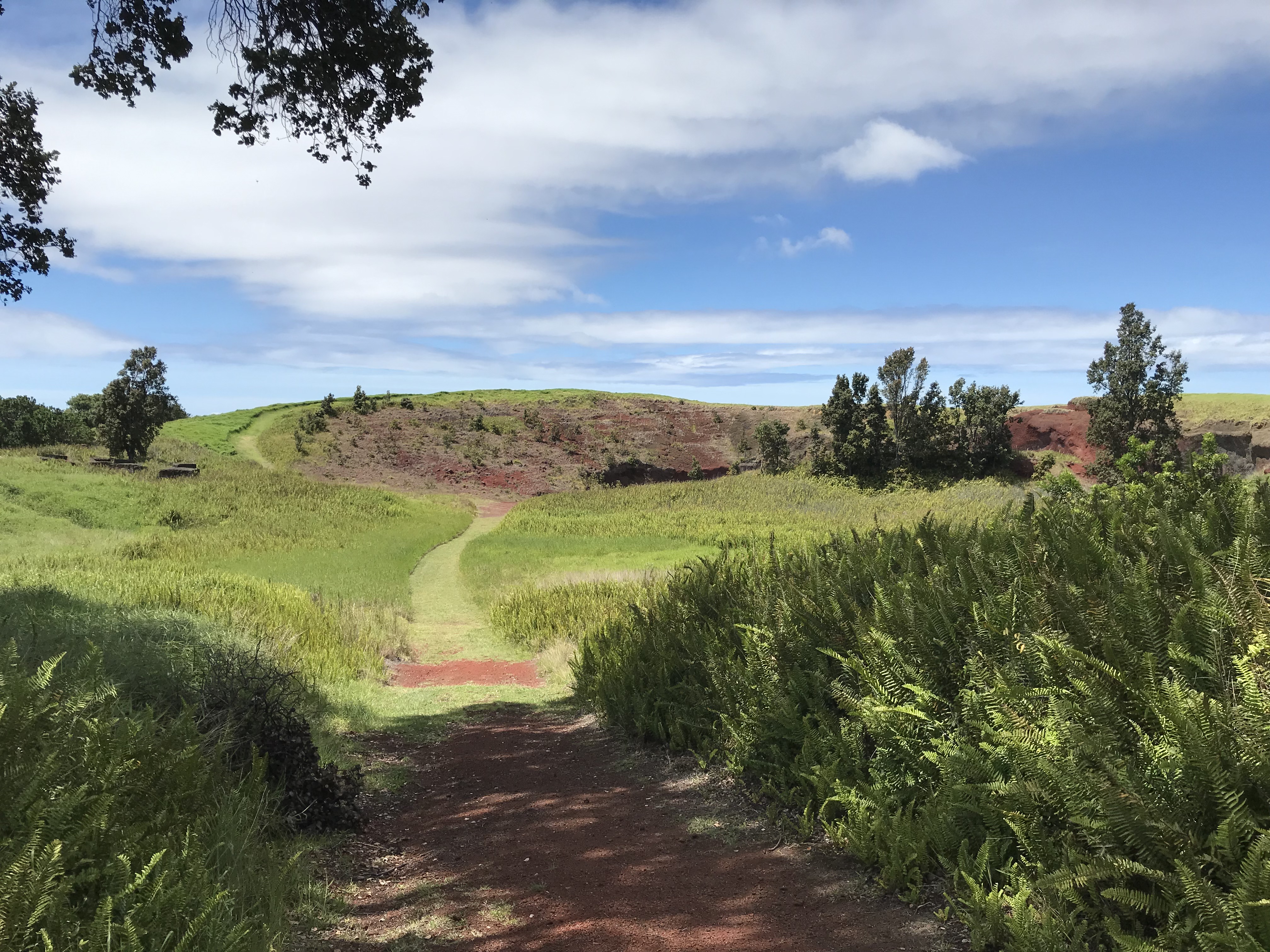
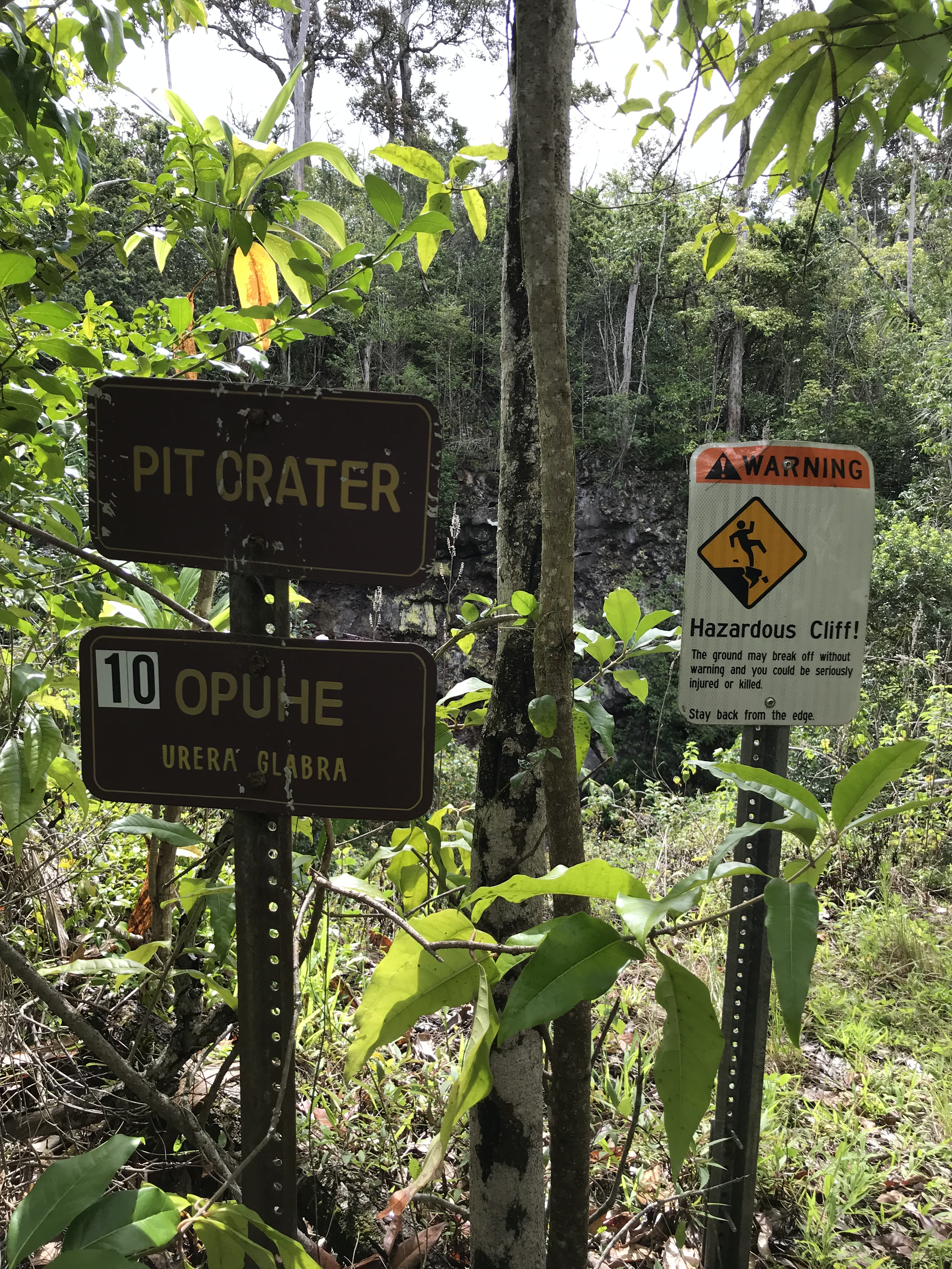
Yesterday I was able to make the last hike I had on my list to the Forested Pit Crater at the nearby Kahuku Station. Except for the Green Sand Beach hike these 4 1/2-5 mile hikes I have been by myself down, there and back. The Pit Crater hike is a 900 foot elevation change (think the first 300 feet is within a 1/4 mile of where I parked, puff, puff!!) on a recently reopened mowed trail through grassy pasture and o’hia woods. There is a fence near the edge of the crater to keep folks from leaning in so not to worry for the single hiker. Like everywhere the end result is a wonder. If I imagine the trees and shrubs stripped away in a way I can see the crater something like the quarries at home except this one is nature made and not in the inverted bell shape but the other way around.
I am captivated by Isabella Bird’s letters to her sister. She couldn’t make it to the south end of the Big Island for many reasons. Not the 1868 eruption and destruction but travel around all the islands was either by horseback, foot or canoe and anyway there was little to see. On leaving Hilo she sails around the south end though and for some reason having to do with the ferry she was traveling on had to stop along the Kona coast which gives her a few more days to explore. Other than where I am she writes of places I’ve been so there’s the hook on my attention. Her last trip to Waimea (where I visited Parker Ranch and enjoyed that delicious seared ahi BLT Sandwhich, not Earl of) she describes her experience:
What an amazing woman!
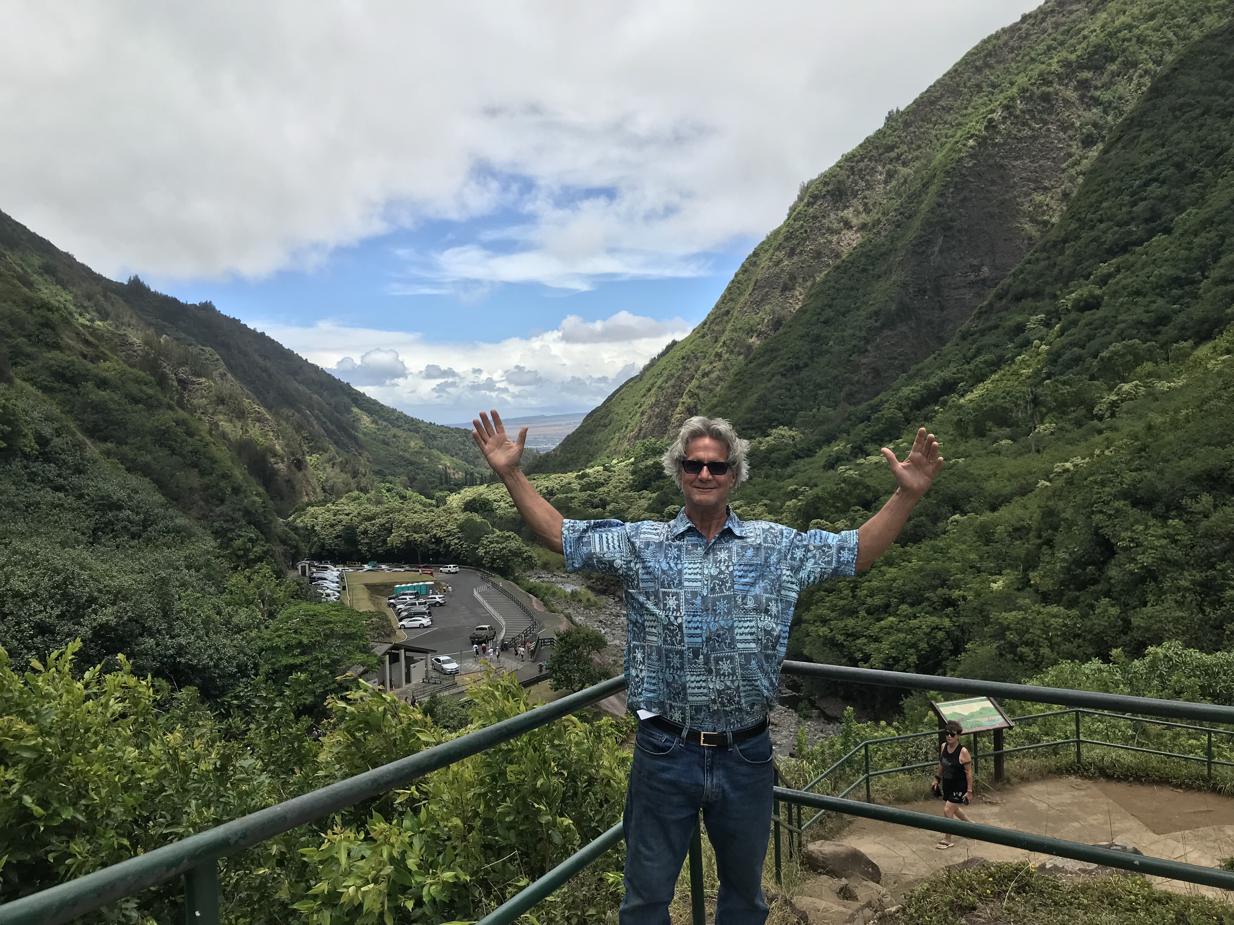
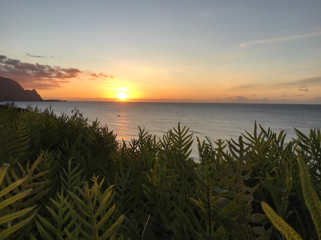
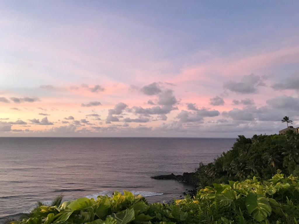
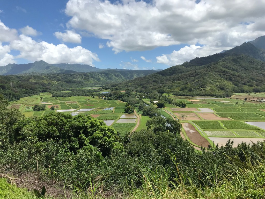
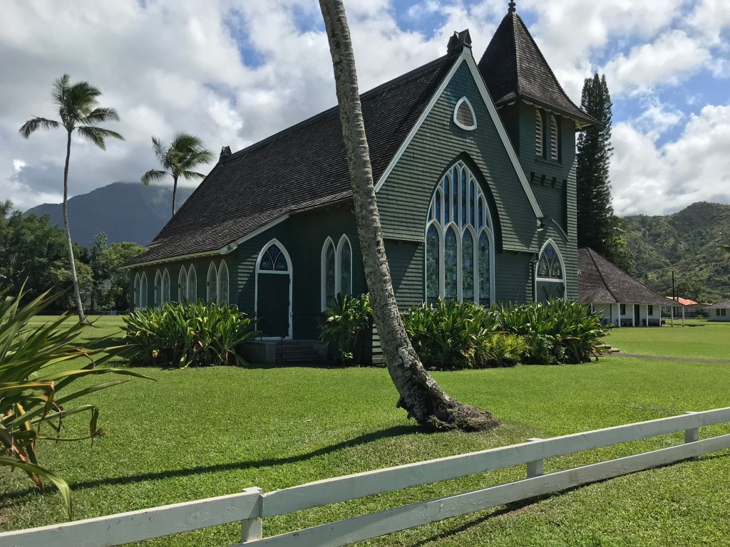
I arrived on Kauai last Saturday after saying goodbye to PJ (nephew), Jamie and baby Jack. Kauai is the last island stop on my adventure that started April 17th in Makaha O’ahu.
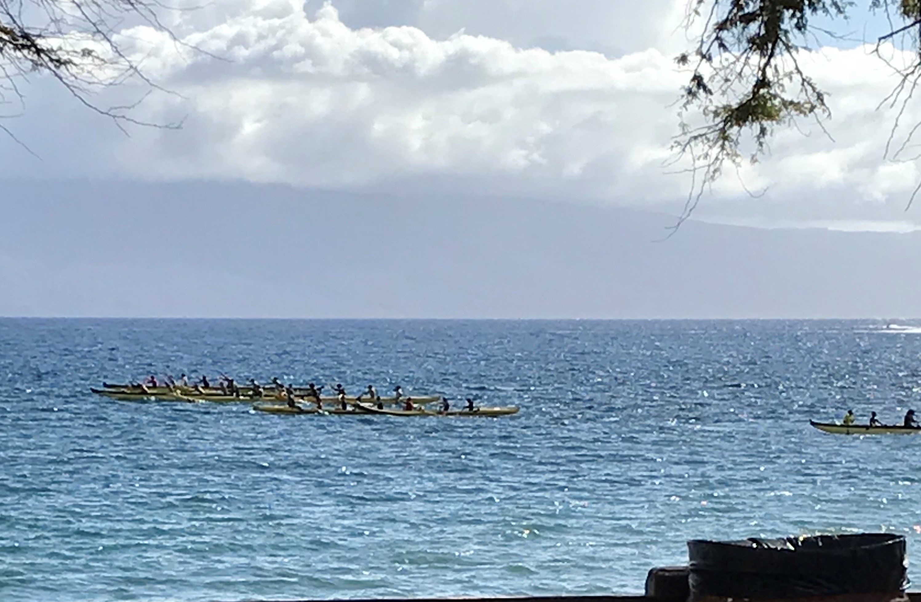
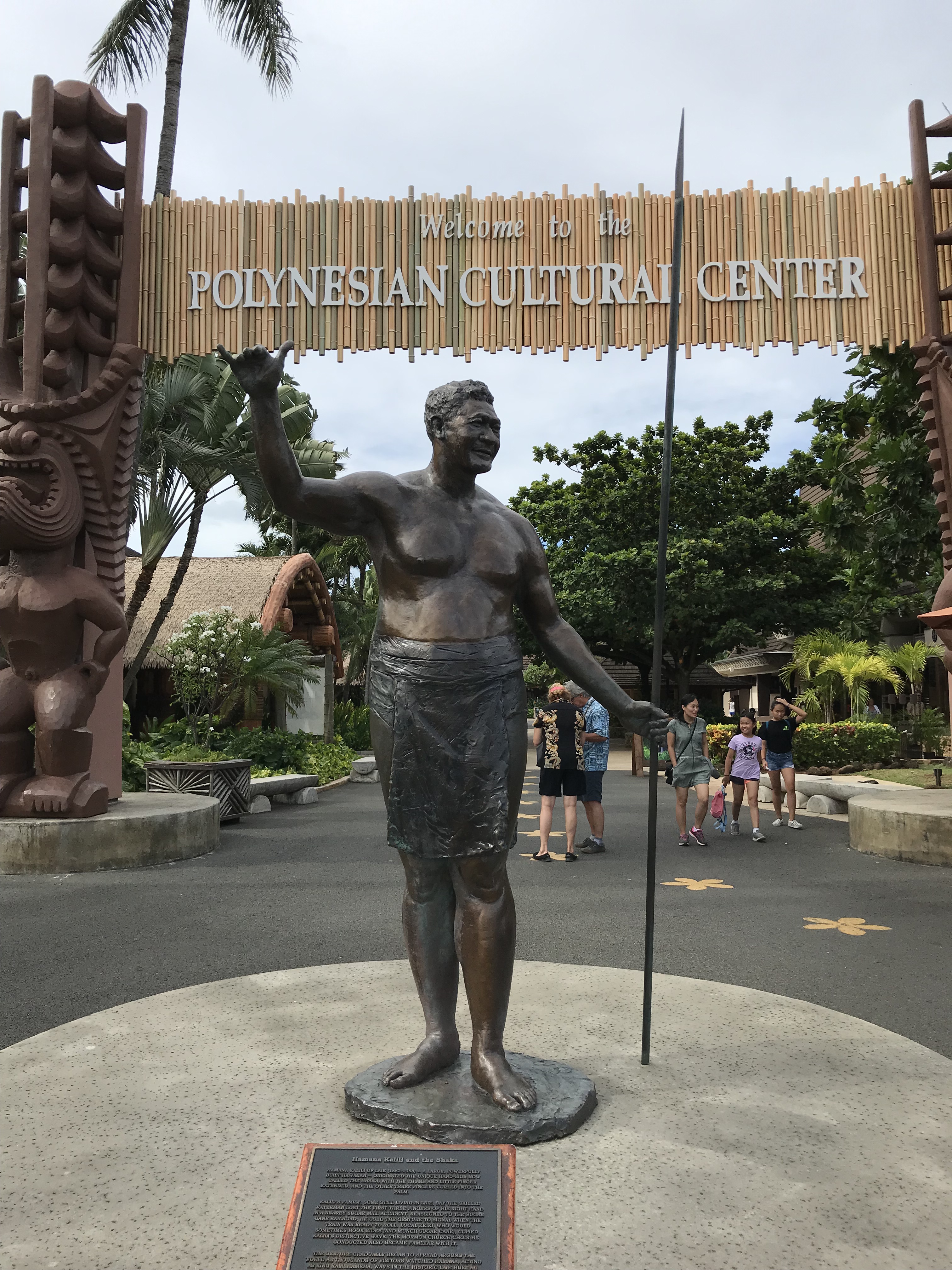
O’ahu-Hawaii (Big Island)-Maui-O’ahu return-Kauai. Every island is different and every island the same. I have enjoyed every day! Looking at a map of the islands to me O’ahu looks like a conch shell, Hawaii looks like a bull’s head, Maui looks like a silhouette of a man’s upper body (head and torso) with his arms full, Kauai? Not yet sure. My last entry was 5 weeks ago and just before Laura and Eric arrived for 5 days with me on the Big Island. They were followed by Finn and Joyce for a week split between the Big Island, where we were joined by Dave and Anne, and Maui. After leaving Finn and Joyce at the airport on Maui it was only a couple of hours until Patrick’s arrival. He and I explored Maui over 4 days before moving on to O’ahu and Honolulu. The following week we were joined by Gussy and the 3 of us, over the next 12 days, split our time between Honolulu and the North Shore at Turtle Bay. I hope my photo diary that follows in this post tells some of the story of the wonderful times I had with my family and friends. I love Hawaii and am grateful for the company that kindly let me share many of the beautiful places I have visited.
July 13th Laura (cousin) and Eric arrive to spend 5 days with me on the Big Island.
July 15th Laura, Eric and I make the Big Island all day trip: Kailua-Hilo-Volcanoes Park-Ocean View.


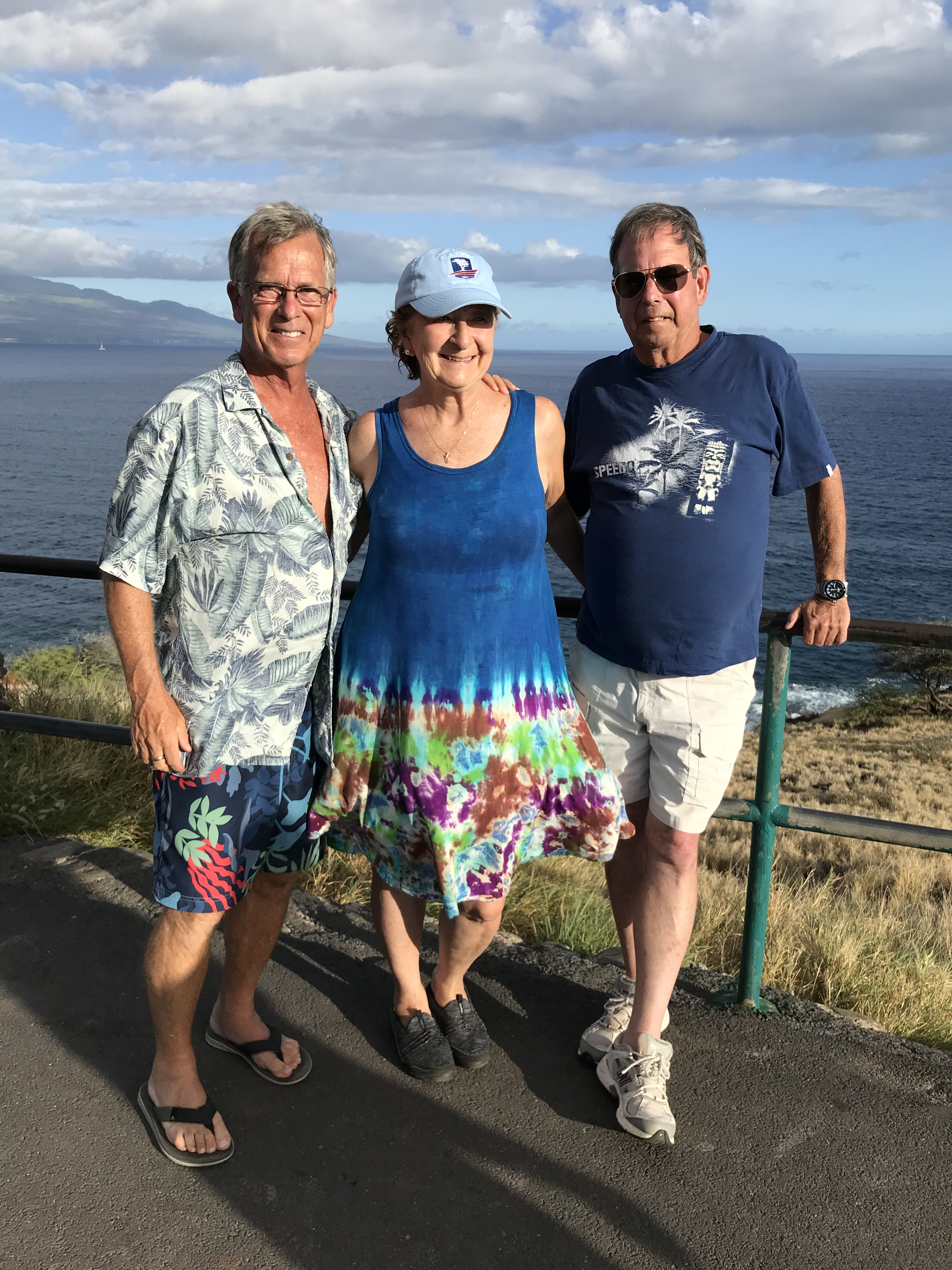
July 19th Laura and Eric continue their vacation on O’ahu. I’m joined by Finn (brother) and Joyce as well as Dave (nephew) and Anne.


July 26th Finn and Joyce depart, I’m soon joined by Patrick on Maui.
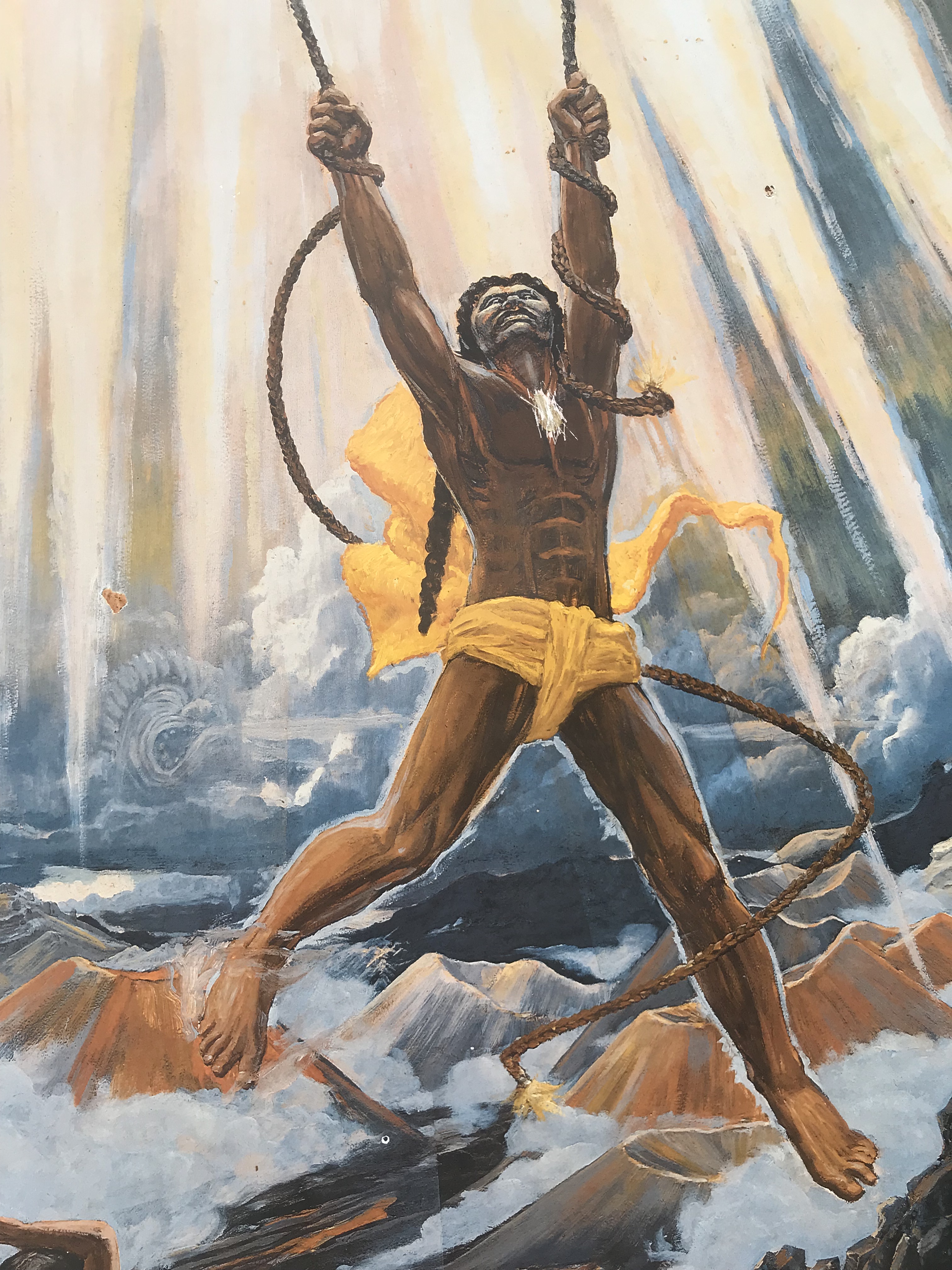
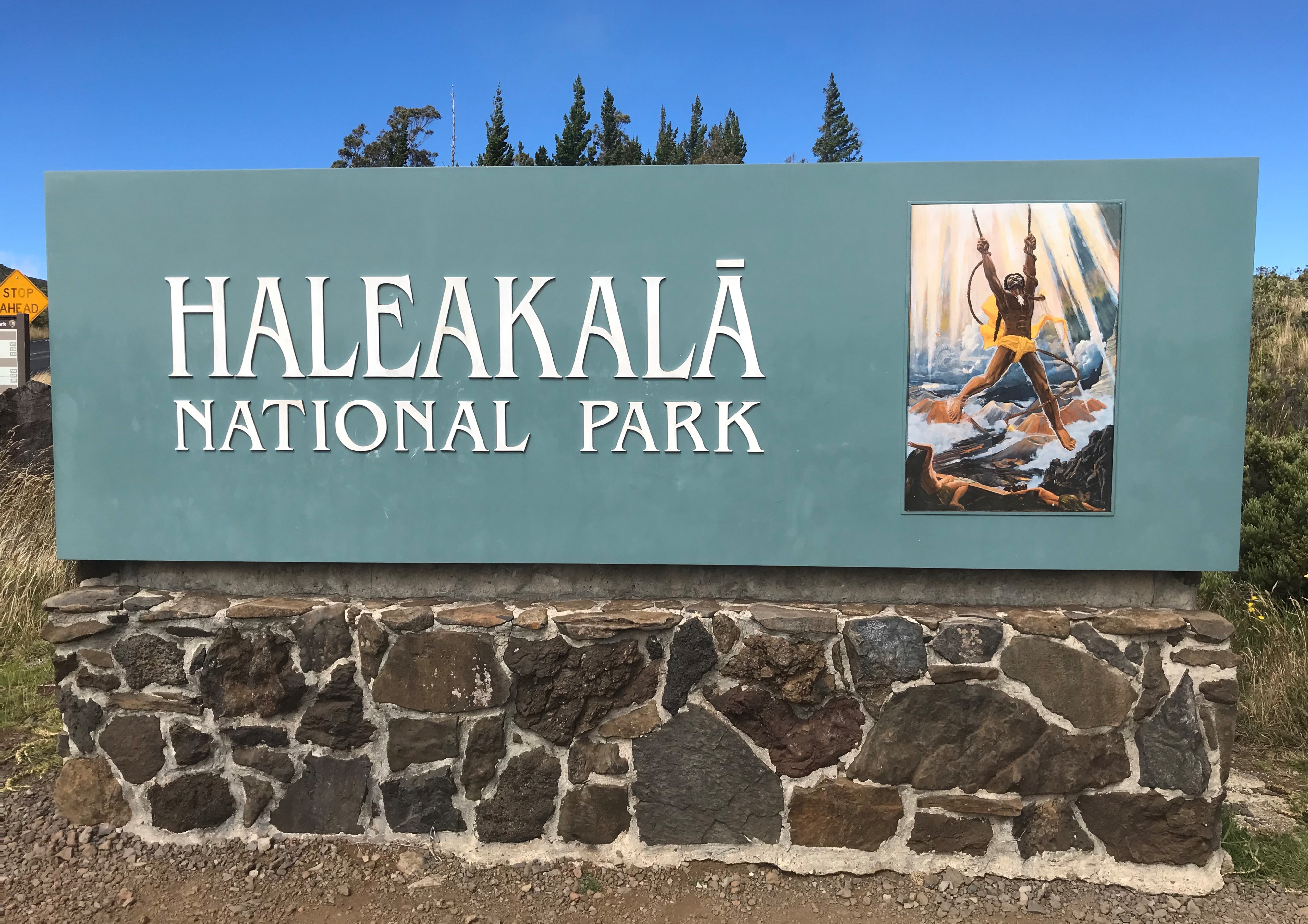
His mother said: “Are you strong enough for this work?” He said, ‘Yes.” Then she gave him fifteen strands of well-twisted fiber and told him to go to his grandmother, who lived in the great crater of Haleakala, for the rest of the things in his conflict with the sun. She said: “You must climb the mountain to the place where a large wiliwili tree is standing. There you will find the place where the sun stops to eat cooked bananas prepared by your grandmother. http://www.sacred-texts.com/pac/maui/maui07.htm


July 30th Patrick and I fly into Honolulu. Later in the week, August 2nd, Gussy joins us.


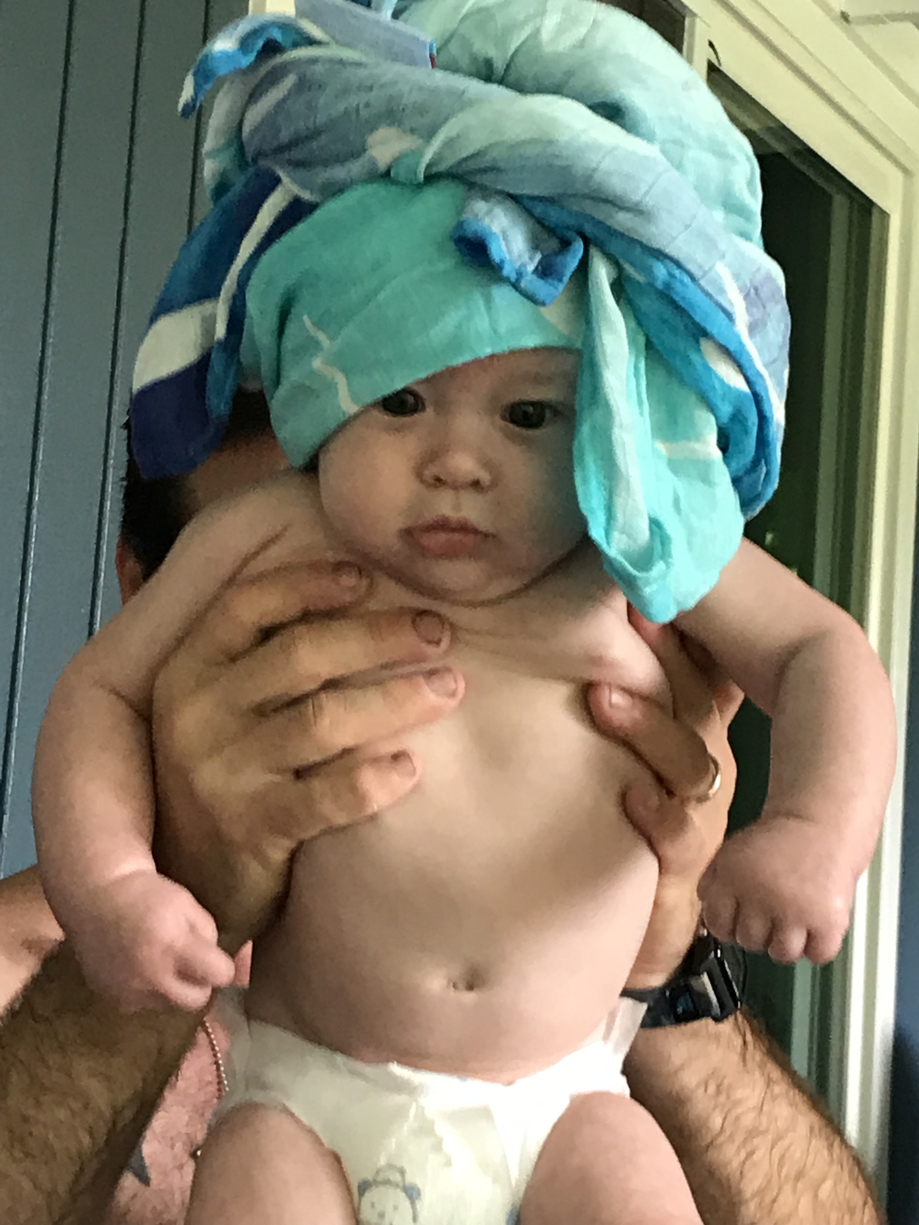
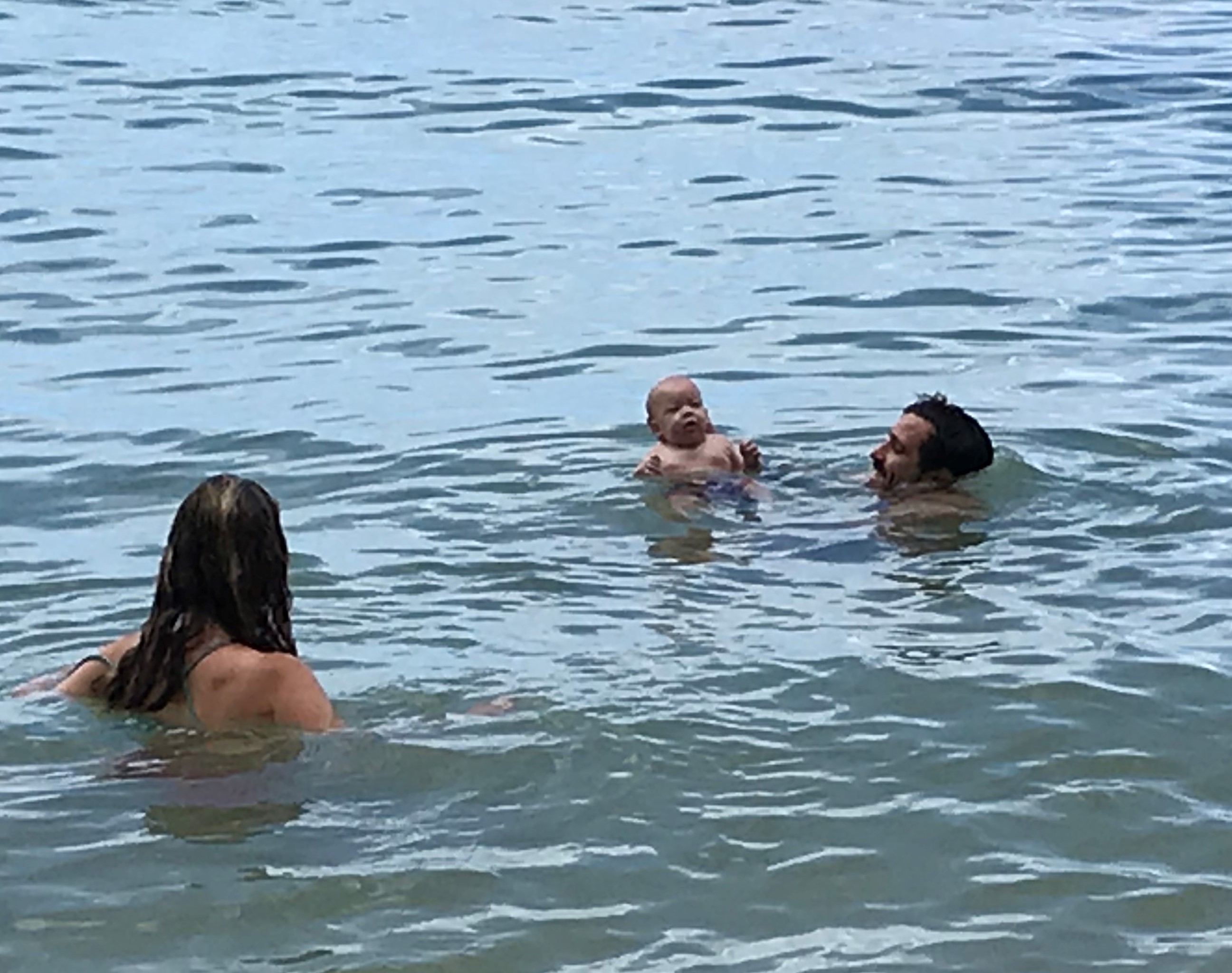
August 15th-17th North Shore visit with PJ (nephew), Jamie and their son Jack (3 month’s). Jamie tells Jack I’m “Great Uncle Dave” – “GUD Uncle” Dave, hah, hah! Before leaving O’ahu I decide to find out where and why I took the wrong turn on my 11 1/2 mile hike back in May. So before PJ and family arrive I return to the trail and this time go in reverse. Along the way I notice some of the check points mentioned in a review I had read the first time I walked the trail. There are a few vistas and when I get to the one that overlooks the wind farm at Waimea Valley it jars my memory and I realize then where I went wrong. The foot path through the jungle meets up with a gravel road, this road intersects a hard surface road that travels over the mountain from the wind farm through the army camp to Kamehameha Highway. When I first walked this coming the other way (clockwise) and at the intersection of the 2 roads I see the windmills and think if I turn right (clockwise) I will end up at the wind farm so the correct way must be left. My surveyor skills and critical thinking left me when I decide to turn left, counter-clockwise. Ignoring the logic that the correct way is to continue my clockwise path and ignore what my eyes where interpreting. This reverse hike brought me back to my car in the correct time Dawn had suggested last May (2 1/2 hours). Lessons learned (I hope!). First: know where you are, make a copy of a map that shows important features (I know this but didn’t do it!). Second: on line research helps with other hiker reviews, jot those down! (I didn’t!). 3rd: take enough water and snacks (I only took one bottle thinking I would only be gone for the shorter time). That was the one thing that worried me when after 4 1/2 hours and walking under a blazing sun I decided to break the law and hitch hike to Foodland.
Well not exactly, tomorrow is, but only because I’m flying out at 1 p.m. leaving for the airport at 9 in the morning. If waking, packing and driving count then tomorrow is the last day. But today! Is the last day to explore. And I’m going to use it as best I can. A lot of fond memories. Too many to tell, my thousand plus photos will remind me whenever I’m feeling nostalgic. If, in the future, you find me wandering off in daydreamy thought you can guess where I am. The last letter in Bird’s book – Six Months in the Sandwich Islands – was to her sister to tell how much she was looking forward to Colorado and the cooler climate and to also address something her sister suggested for the two of them. Apparently Bird’s sister, from reading of Isabella’s adventures, wanted to join her and suggested that the 2 of them spend a year here in Hawai’i. Bird put the kibosh on that idea. Not going to happen she writes. I’m paraphrasing Bird’s words: “You can’t come, I have to leave, this is a wonderful place with the most wonderful people I’ve ever met and if I don’t leave now I never will, and if you and I were to stay a year here we will never leave.” That’s the feeling I’m having today, I have to leave tomorrow.
Yesterday a.m. doing laundry I met a woman who came here from Switzerland 35 years ago, met her Kansan husband and they never left. I’ve met more than a few who have had their Bird question answered the island way. I’m happy for all of them.
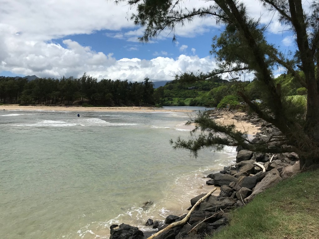
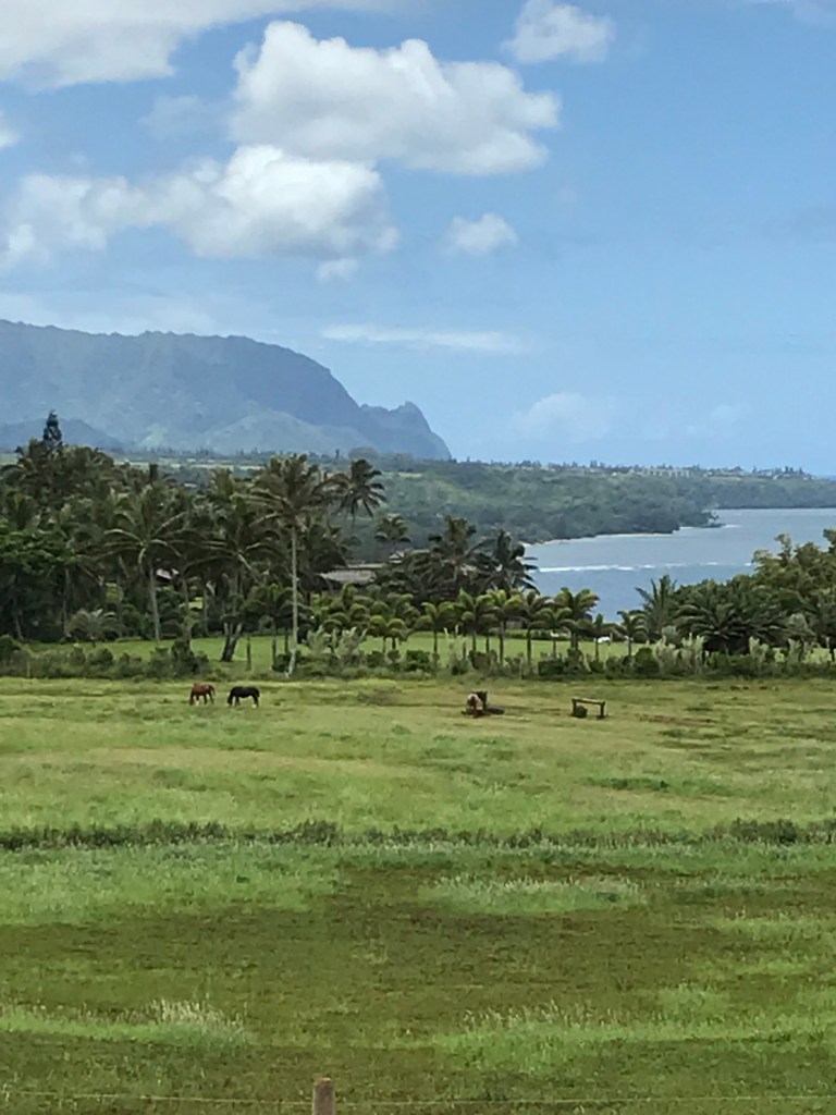
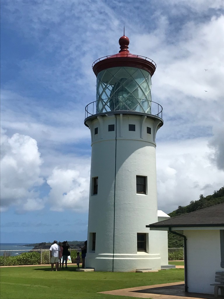
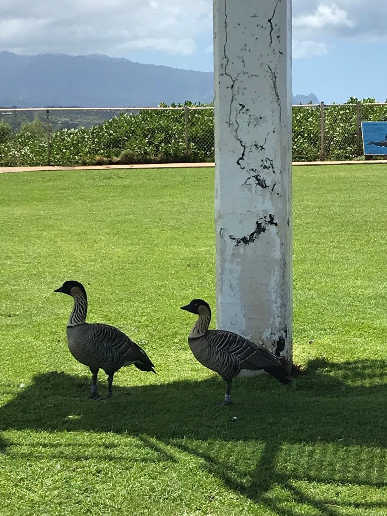
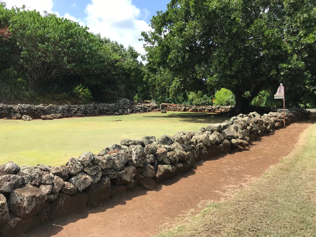
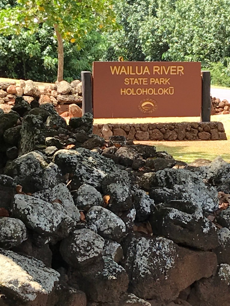
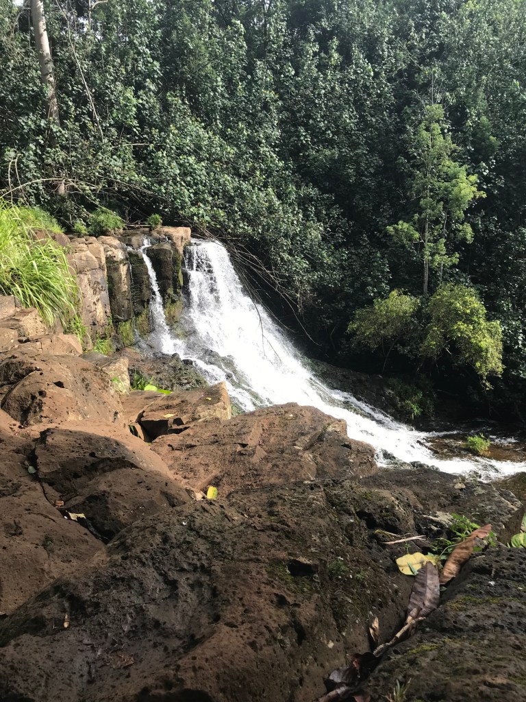
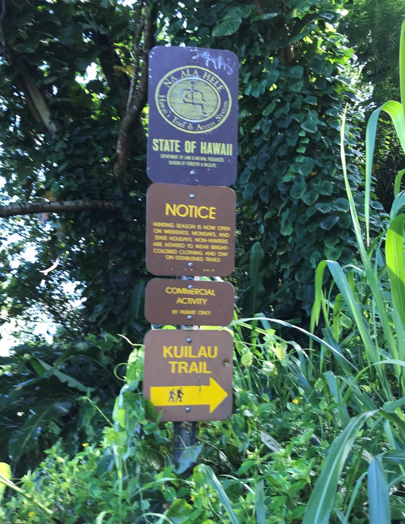
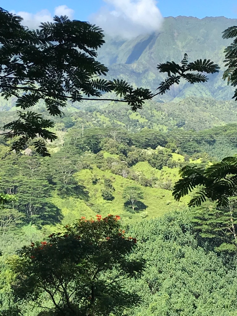
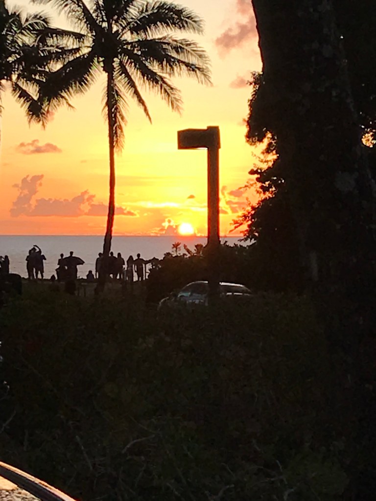
From Princeville I moved last week to Kapa’a, a little town on the east coast about in the middle of the island. This gave me a place closer to all the southern sites: Wailua, Lihu’e, Koloa, Po’ipu, Hanapepe and Waimea. I don’t want to bore you readers with any details of places, things, people and such so I’m opting for another photo essay of my weeks here on Kaua’i instead.
Having been on 4 islands over this adventure I’m not going to rank them. I loved my time on each one. They are all different. Yet if someone were to plan a trip here (3 weeks in my opinion is the least amount of time, though I know that is hard to do in the work world we live in, and only 2 islands at most) I would suggest first Kaua’i then the Big Island (Hawai’i) followed by O’ahu and finally Maui. Moloka’i, I was told by a couple who have visited all the islands, offers a quiet and very common lifestyle and if you’re looking for a remote hideaway it seems there would be the answer.


November 28, 2019……I’ve delayed writing this last entry sharing my memories and reflections because….I don’t know. It isn’t a feeling of letting go of my adventure for it to become part of my history and my memorializing one of the best trips I’ve ever taken or been on. It isn’t avoiding signing the separation “papers” ending my relationship with one of the most beautiful places I’ve been to. Maybe it’s that I’m still there in some way and the idea of a last entry seemed and seems like an ending, turning the page to a new chapter of planning and dreaming.
I listen to Weldon Kekauoha on my walks. His ballads in the Hawaiian language take me back to any day of the 4 and a half months spent there. Not a day was a disappointment. Whether I was hiking, on a town walk about or an island drive around, exploring the life folks in Hawaii live or just sitting on any beach not a day went by or goes by still that I cherish being in a feeling of aloha, a special way of life to me. I’m not homesick because I am home with my family and friends but do feel my heart is in both places, here and there.
I am thankful for many things and to many people. My family and friends for coming to spend time with me on the islands, especially thankful for my sisters thoughtful reminders over the years to take this journey, I’m glad she was able to share her vacation with me on the Big Island. I’m happy too that our brother Fin and his wife Joyce (more sister to us for over 50 years!) made the trip. To my niece Jen, nephews PJ, Dave and Dan their partners Jamie, Anne and Maureen. My special cousin Laura and her fiance Eric tripping around Big Island places. My buddy Patrick and Gussy, his wife, and our sharing 2 weeks together exploring Honolulu and O’ahu. I have happy memories of all of our times together.
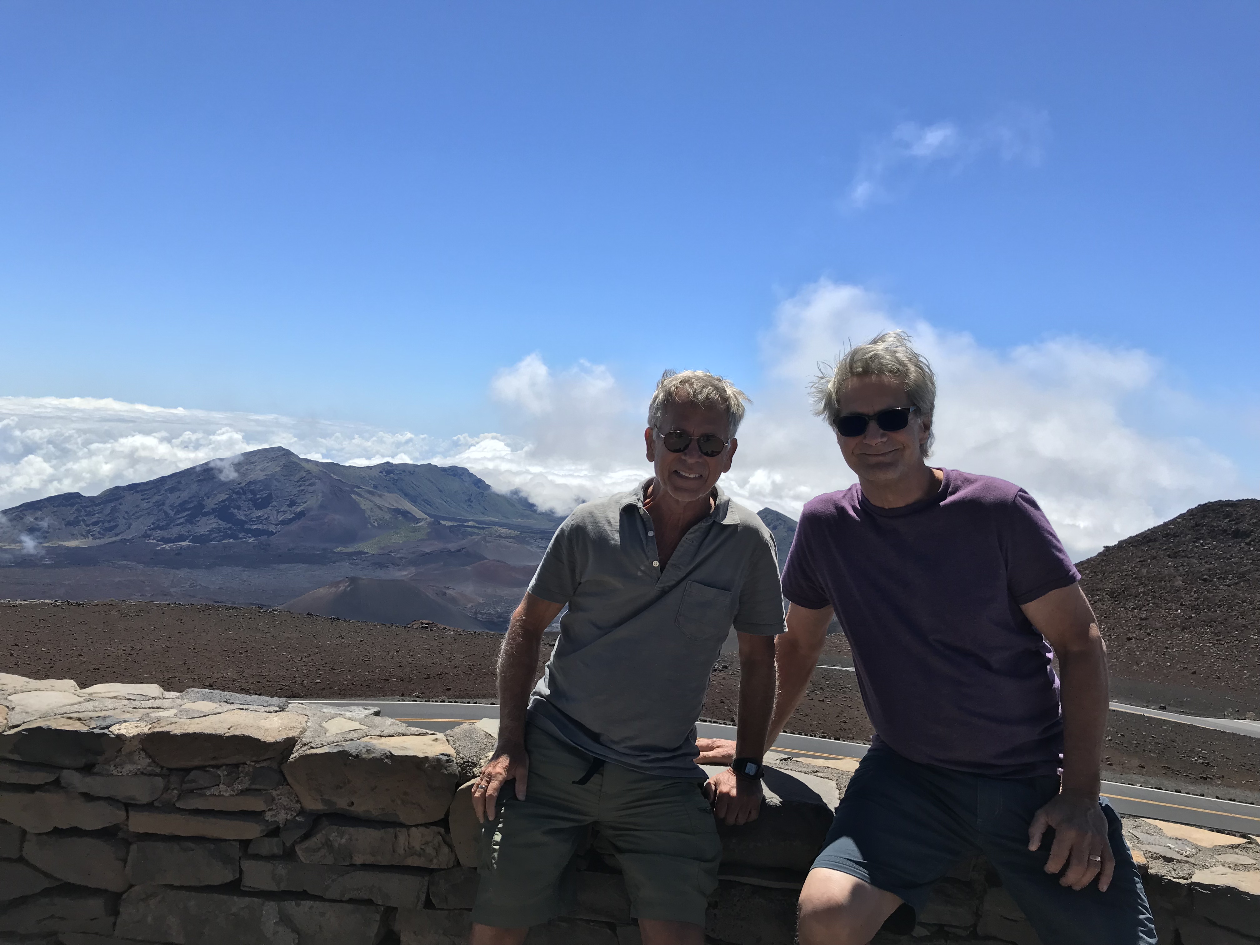
Starting out Good Friday morning and my trip to BWI, Patrick drops me off just after 7 a.m. where I will then start off on 3 separate flights to land in Honolulu after 8 p.m. Hawaiian time (2 a.m. the next day on the East Coast). Once settled into my place in Makaha I spend 4 weeks in O’ahu. This is followed by 9 and a half weeks on the Big Island and the first of my visitors arriving for Memorial Day weekend. Jen, Dan and Maureen are followed by Sharon during King Kamehameha Day in June with a 4 week in between until Laura and Eric arrive mid July. From their leaving I share Big Island time with Fin and Joyce along with Dave and Anne. Fin, Joyce and I take a short hop to Maui where I’ll meet up with Patrick after dropping them off at Kahului Airport. Patrick and I spend a few days driving about and above the clouds to the top of Haleakala one day and on the winding Hana Highway to find Hamoa Beach’s beautiful clear blue water and uncontrolled surf…fun. Patrick go on to Honolulu where we’re soon joined by Gussy and the 3 of us split our 12 days between the city and the North Shore’s Turtle Bay. Leaving the airport to return to the North Shore and Sharks Cove to spend time with PJ, Jamie and their 3 month old baby Jack. I say goodbye Saturday August 17th flying on to Kaua’i, the most beautiful place, for 2 weeks. Princeville and Kapaa, sunsets and hikes. Too many places too little time. I miss it. All of it!
The many memories, a list shortened for time not by choosing one over another, ranking and comparing islands or places, they all have a personality uniquely their own.
First, though it may seem silly, I miss the fresh fruit. I can’t say enough about how delicious the tastes are when ready to pick and harvest tropical fruit reaches the markets. It is unfair of me, I think, to compare what I buy on the East Coast so far away from the orchards and fields that the mango is not dropping from the branch when ripe but pulled from it’s stem while still growing, there is a huge difference in flavor now that I’ve experienced it.
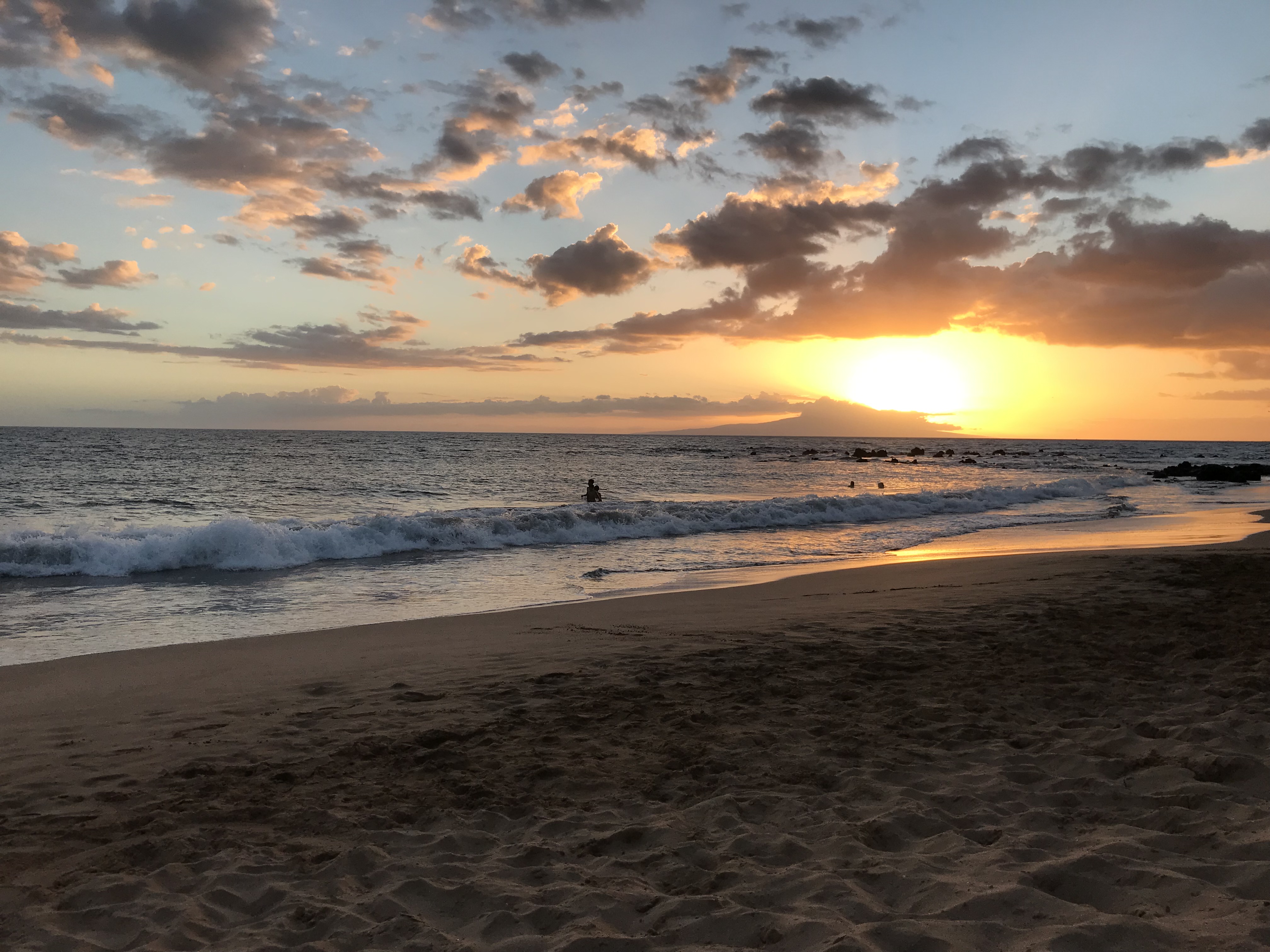
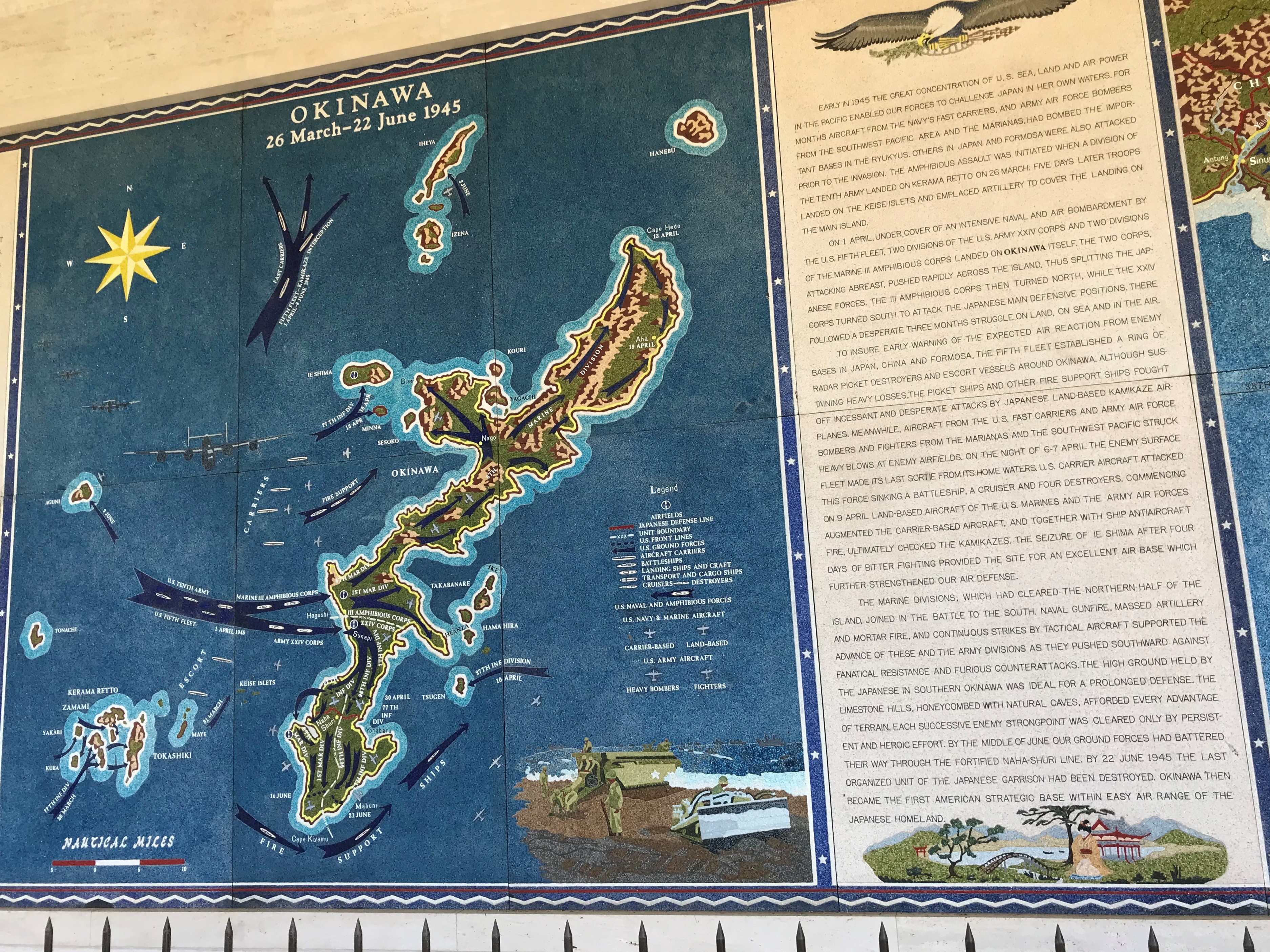
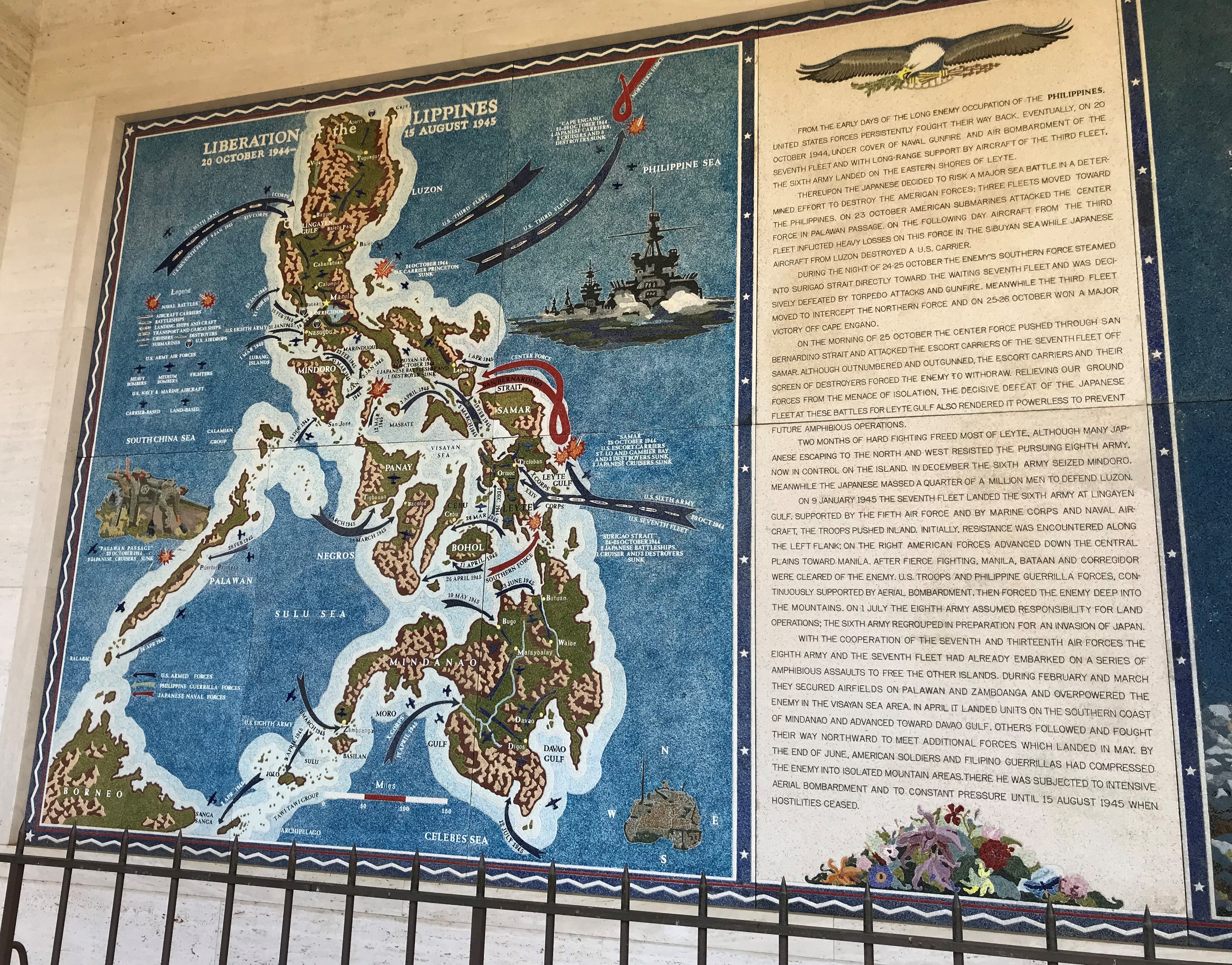
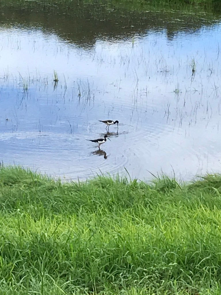
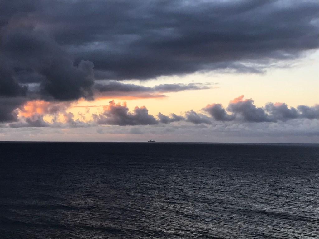
Then in no order: the changing blue skies and ocean. Every day and in the same day. I could and did sit for hours watching and enjoying both. Roosters and chickens are everywhere and are oblivious to traffic and time. Plopped down in the middle of a narrow lane unwilling to get out of the way or crowing at 3 o’clock in the morning. Swimming and relaxing in the Pacific. The water is refreshing and salty, I’m not a floater but for my guests who were they seemed to just let go and be taken by the movement of the surf. I found that if I did relax and let myself be moved about it became a tranquilizing experience. The people generally were friendly and kind especially the drivers who I found considerate and patient. Aggressive driving I experience here at home seemed a rare moment to me even around Honolulu. Saying more about the attitude of the island and what may sound cliched – “Island Life” there is a spirit of aloha as it was defined to me as being about kindness and good wishes. When I first arrived over those early weeks I thought that the folks of O’ahu were clueless and unaware of what is happening in the world and our country outside of the middle of the Pacific but on return after 19 weeks living there the stress I felt here back home was intense. No wonder folks drive aggressively, yell at anyone, are impatient, don’t seem to have time to practice kindness. My experience of Hawaii was truly like living in a different world and time. (Soon after coming home I had my annual physical with a better report than the one last year so that says something I think.) My walk abouts in Honolulu neighborhoods brought back memories of my time spent with the Army on the island of Okinawa. Narrow streets, small lots, houses tucked into hillsides. The National Memorial Cemetery of the Pacific, a national cemetery located at Punchbowl Crater in Honolulu, reminded me of a similar memorial I visited in Manila during those same years. And of the Philippine Islands, Hawai’s mountains and sugar cane fields brought back a few of those memories.
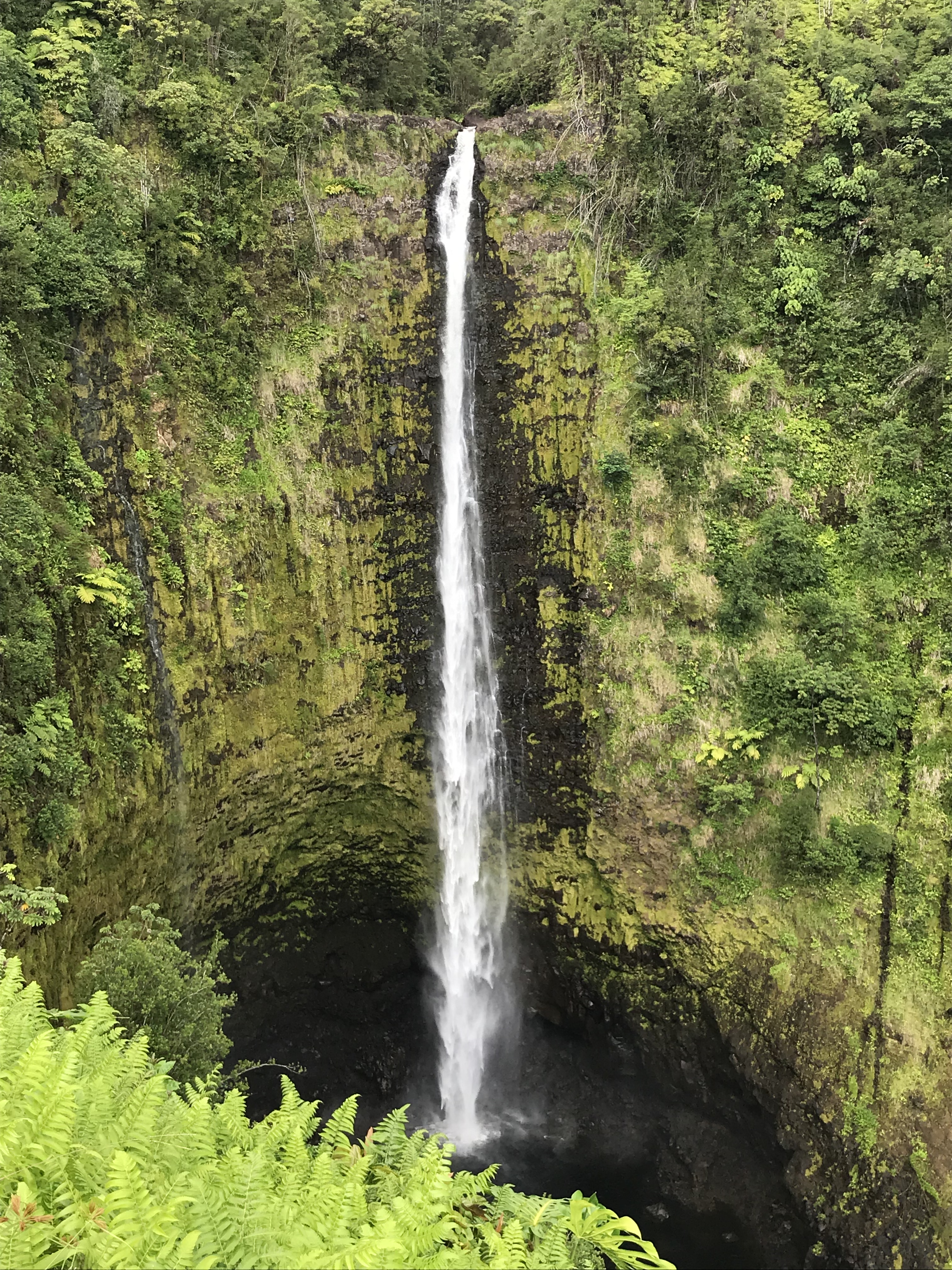
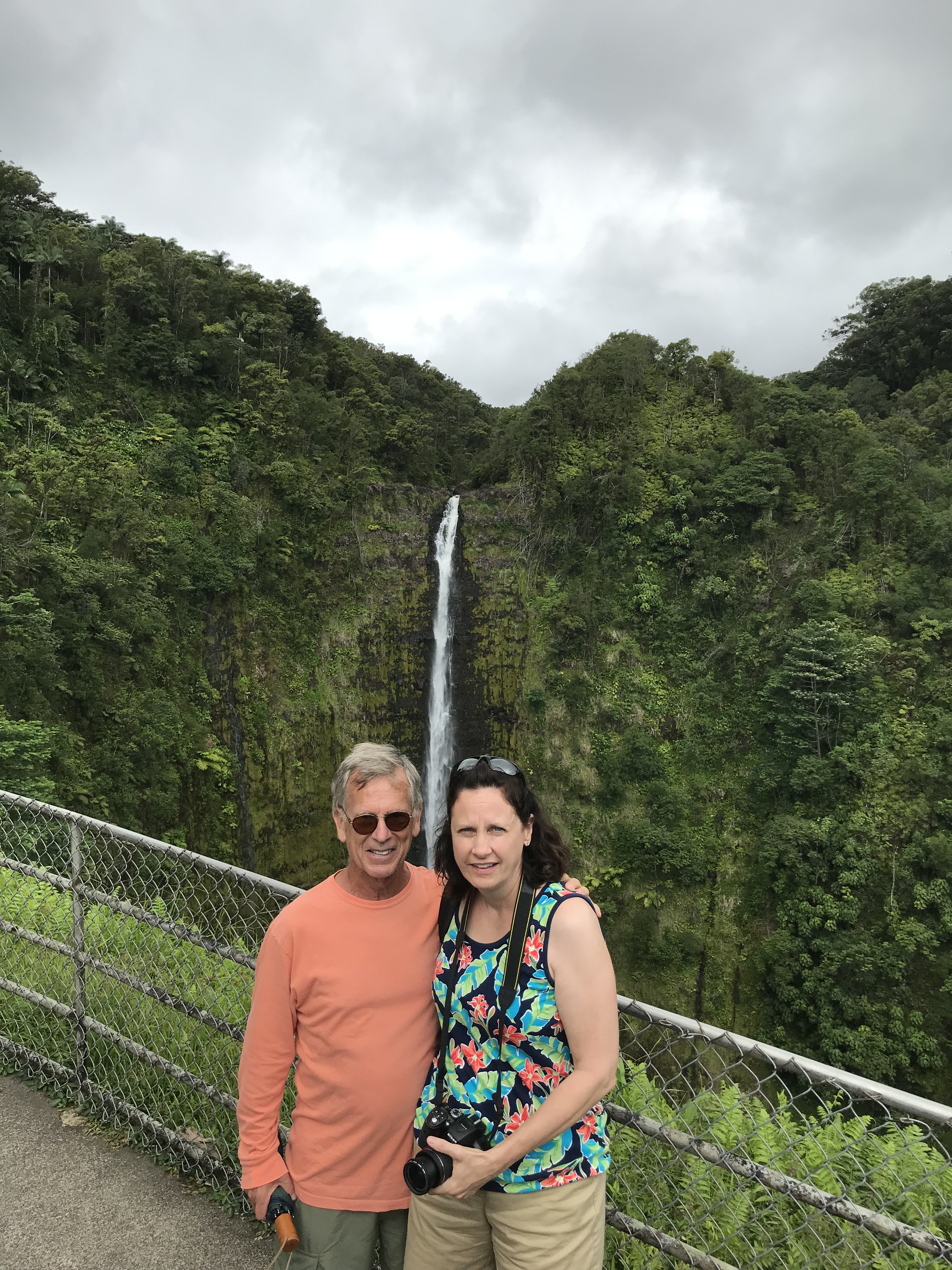
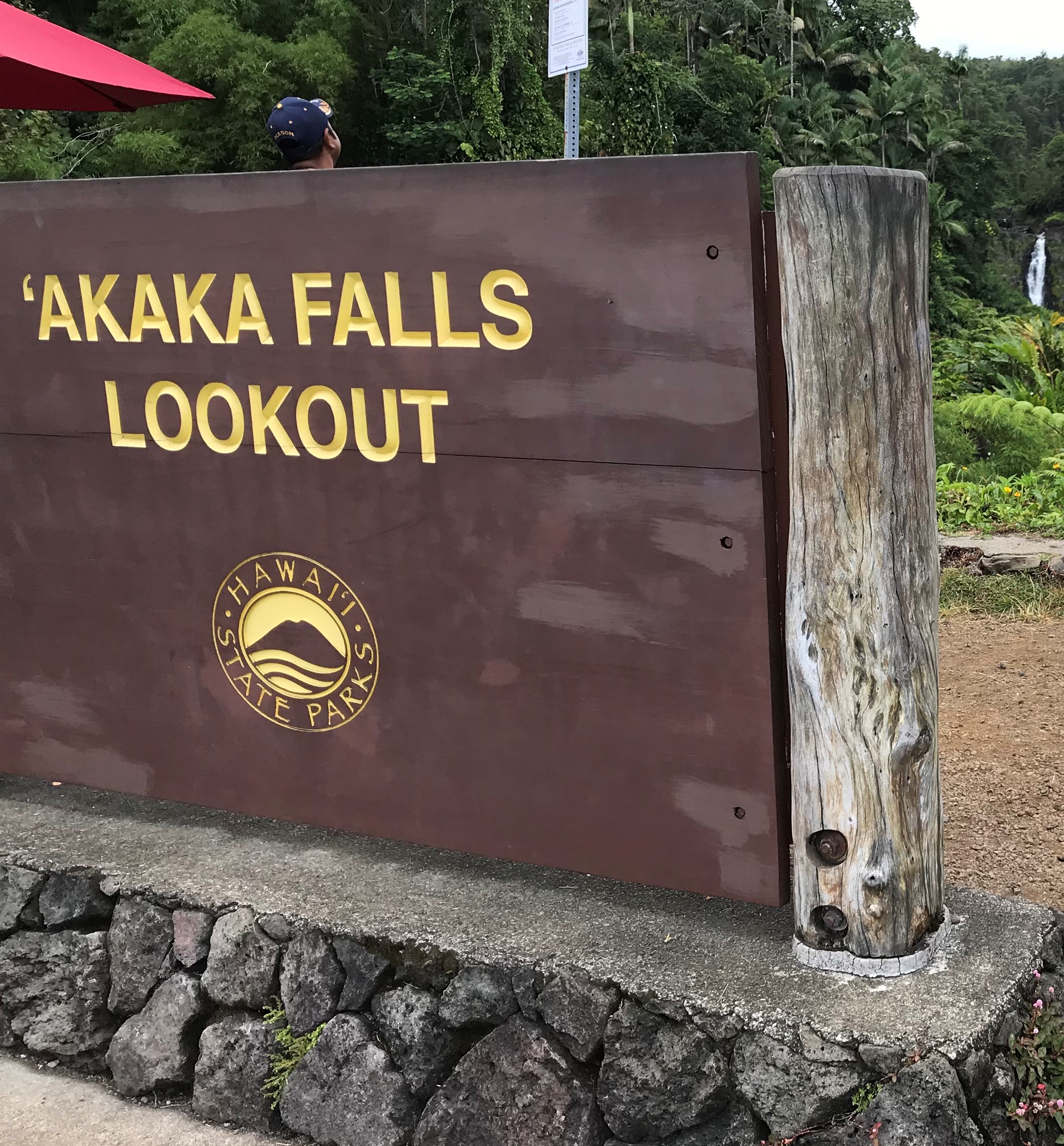
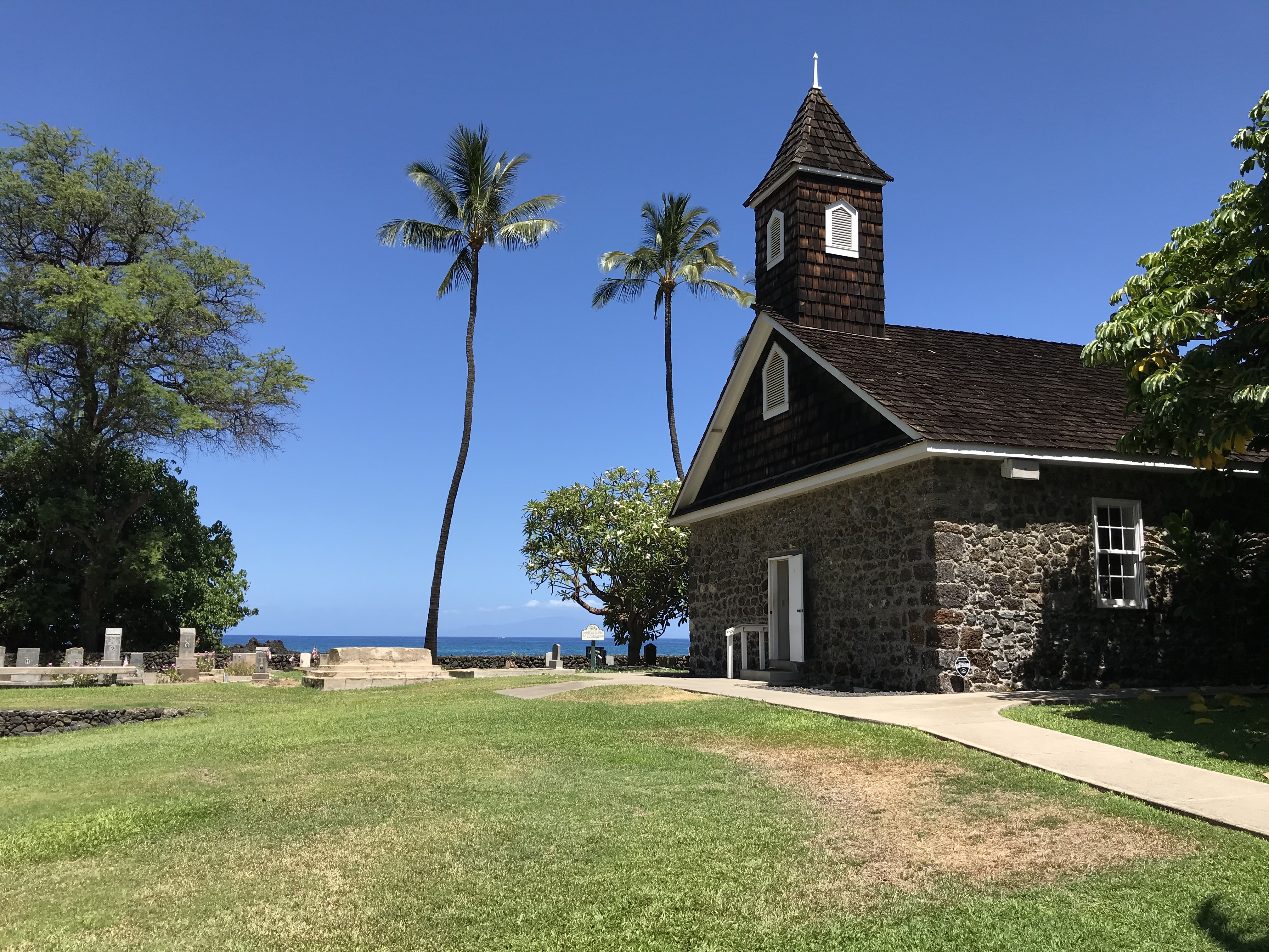
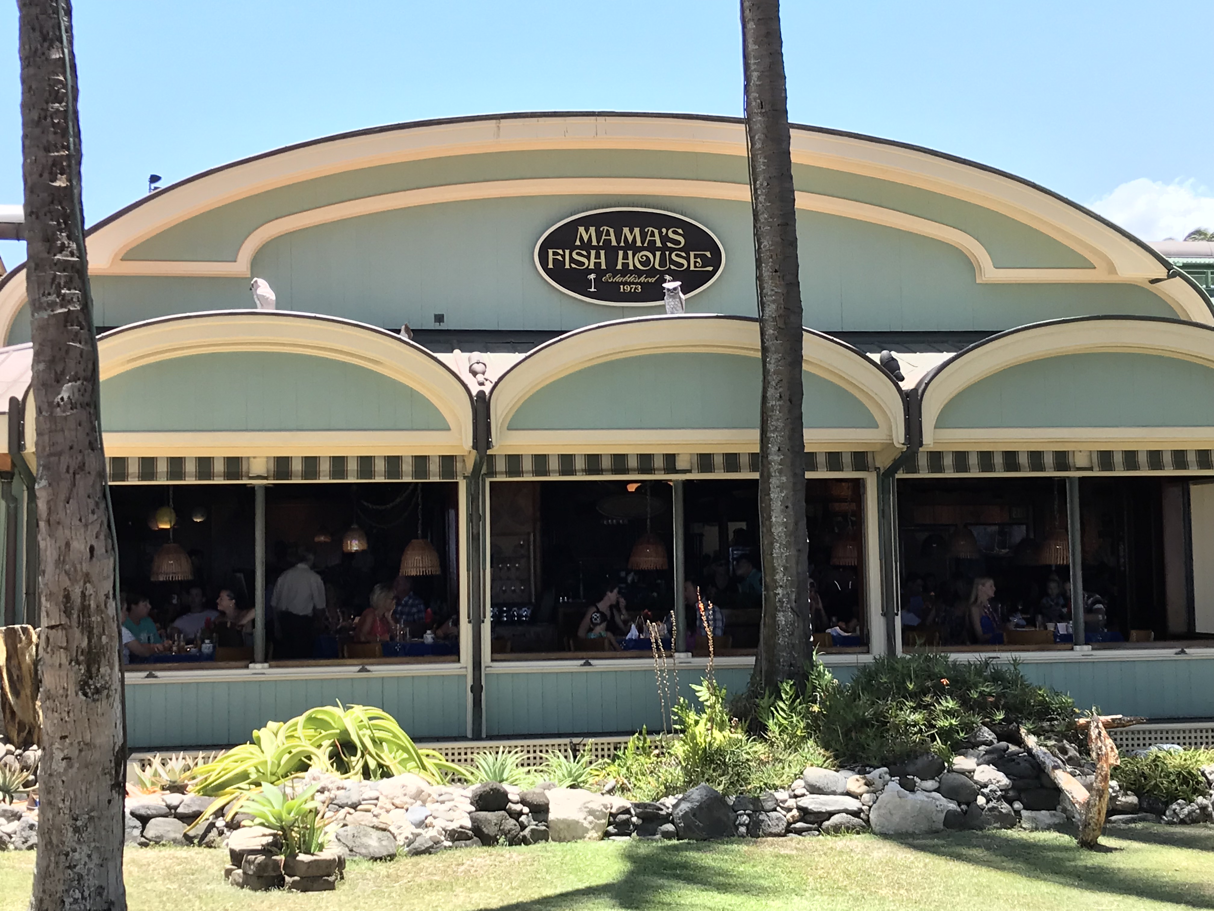
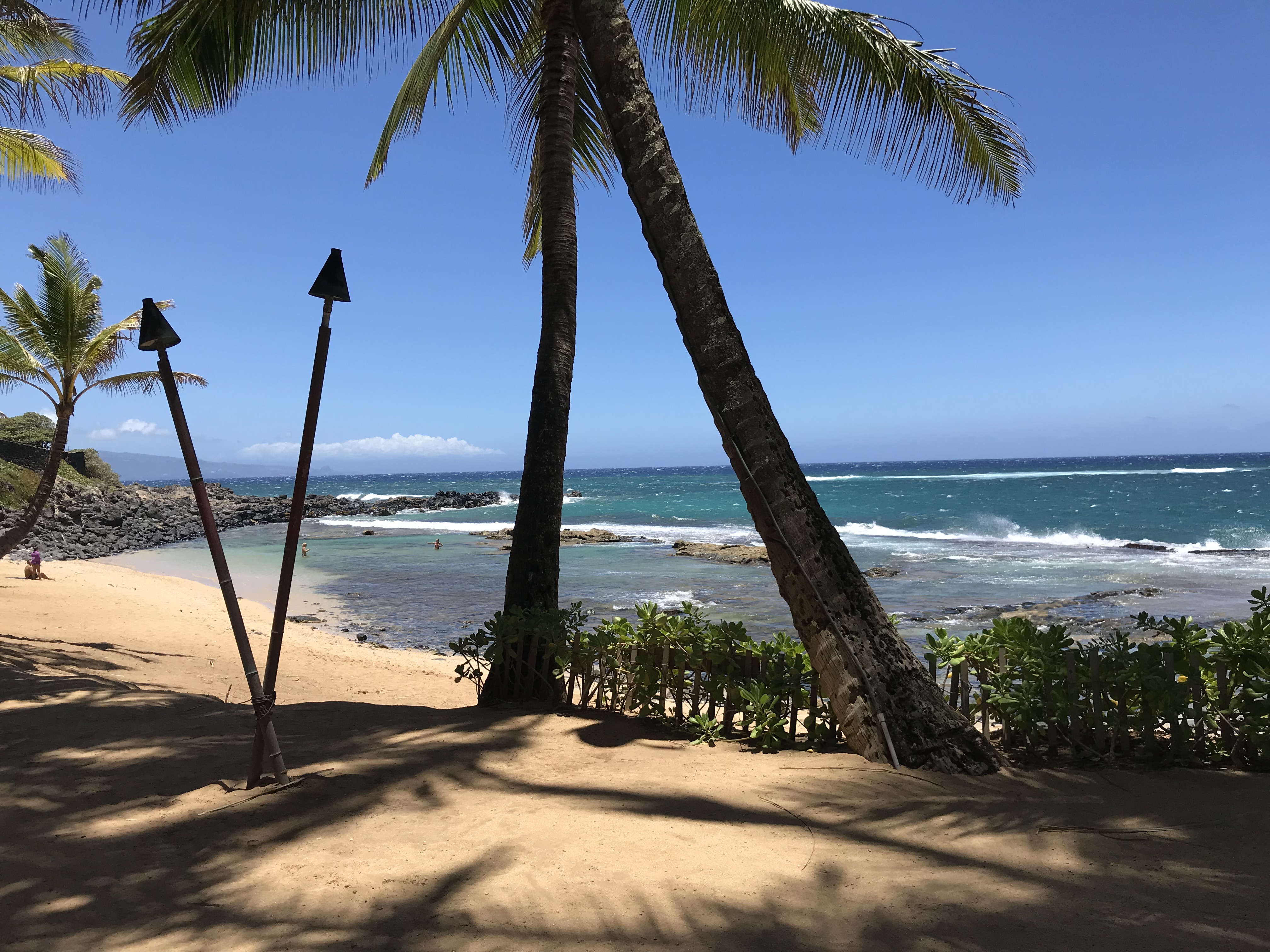
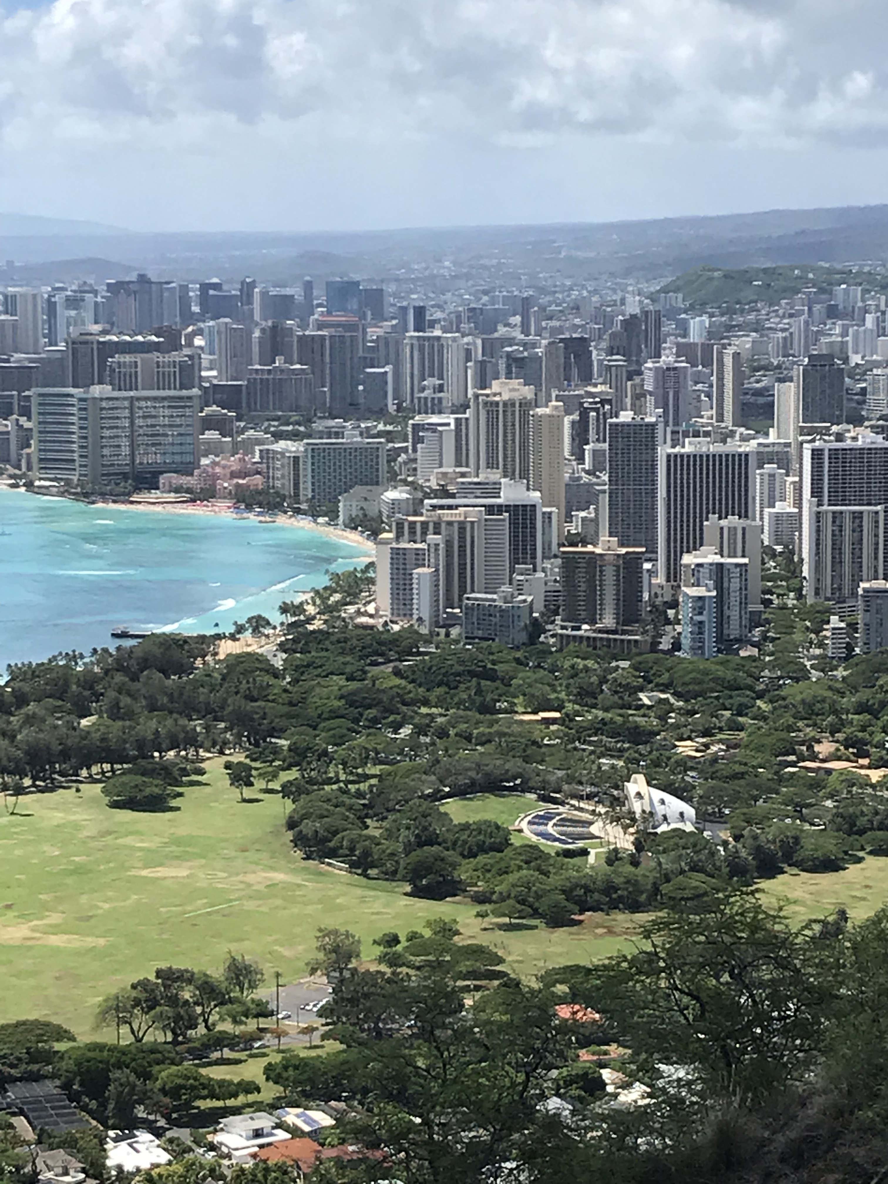
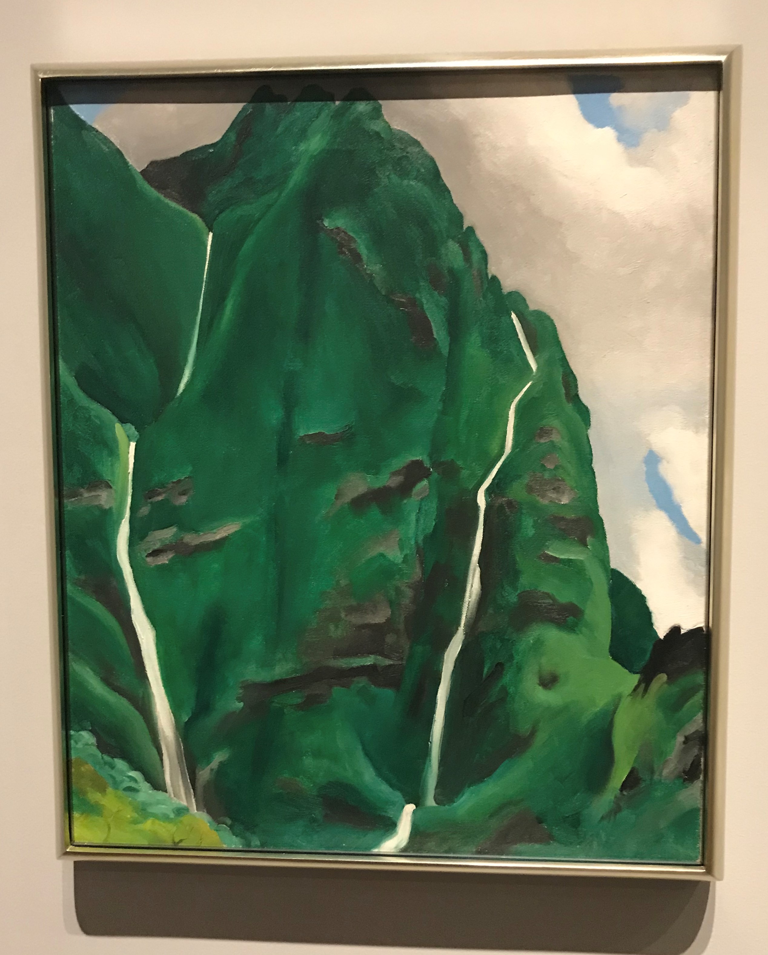
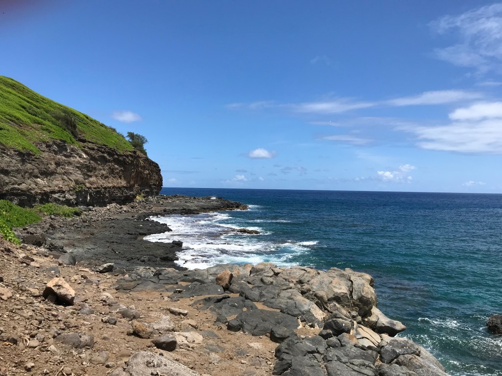
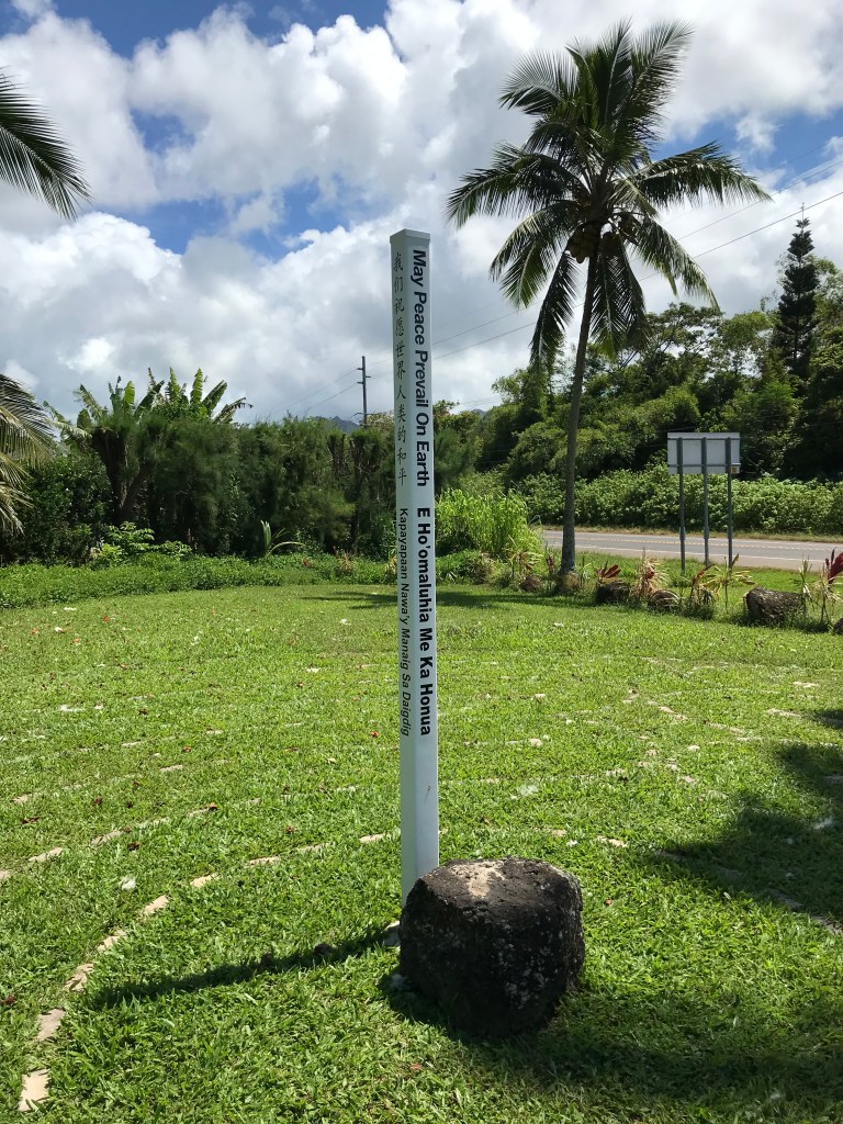
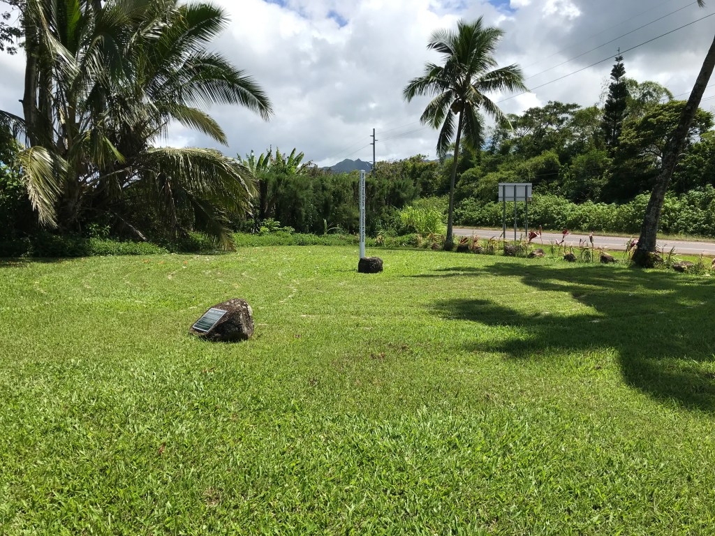
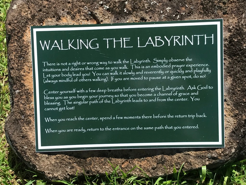
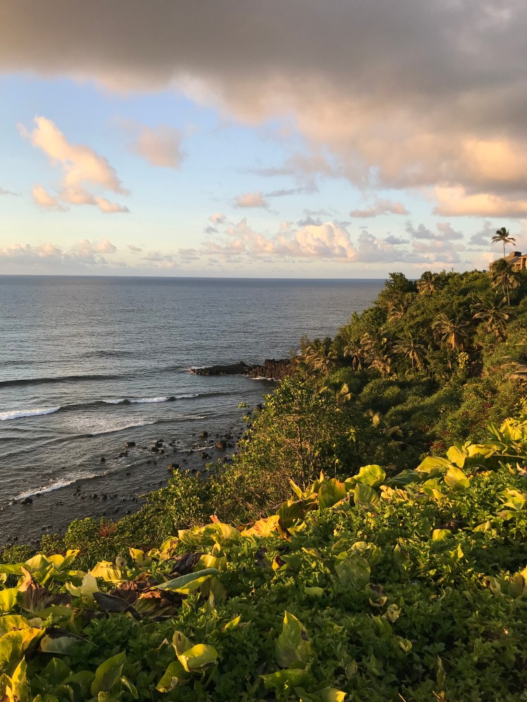
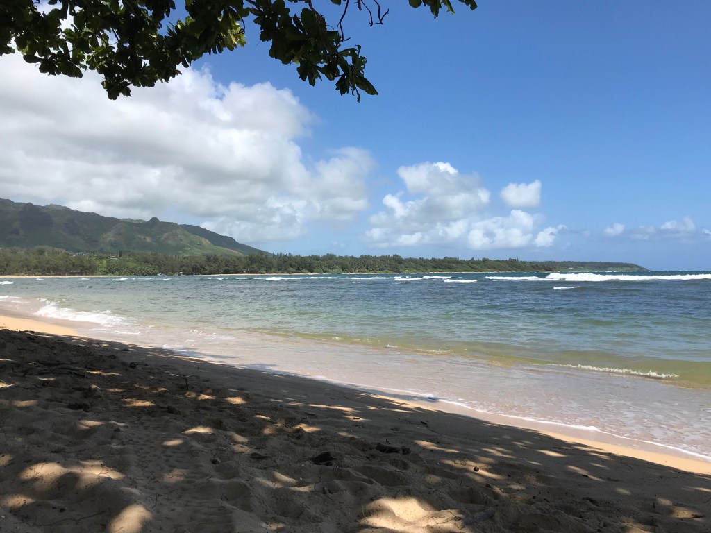
Places: Akaka Falls, Hilo, Hana, Lahaina, Honolulu, Makaha, Diamond Head Crater, Mama’s Fish House, Haleakala, the top of Mauna Kea, Mauna Kea beach, Waimea, Kailua-Kona, Ocean View, Volcanoes National Park, Princeville, Kapaa, Waimea Canyon, Hideaway Beach, Lydgate Beach Park, Sunset Beach, Wailea, Kihei, Hawi, Tropical Botanical Garden, Black Sand Beach, Green Sand Beach, South Point, Red Sand Beach, Magic Sands Beach, Kamaole Beach, Two Step, Hoomaluhia Gardens, Hanauma Bay, Waimanalo Beach, Kokololio Beach, Waimea Falls, Pupukea Trail and my lost adventure, Aiea Loop Trail, Ka’ena Point, Haleiwa Town, Captain Cook……every place a fond memory.


You may have heard that aloha means both “hello” and “goodbye.” But the literal meaning is even more beautiful than that. “Alo” means “presence,” while “ha” means “breath.” So, the literal meaning of “aloha” is the “presence of breath” or the “breath of life.” In this way, to greet someone with the word “aloha” is as though you’re welcoming their life, whatever that may be. The nonjudgemental respect that it represents is very much something of the Hawaiian culture: a compassionate and carefree island lifestyle that invites you to be you.
