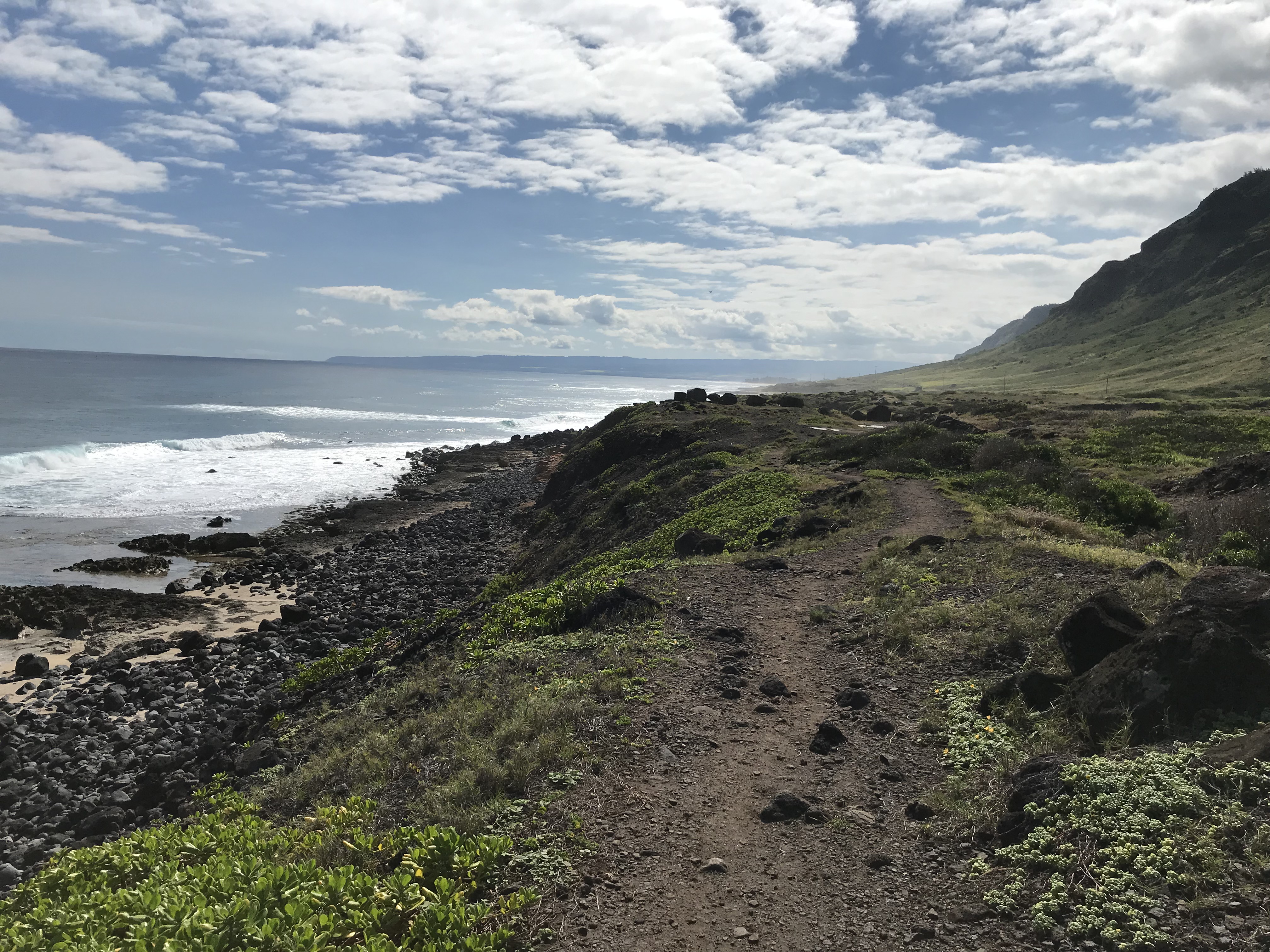
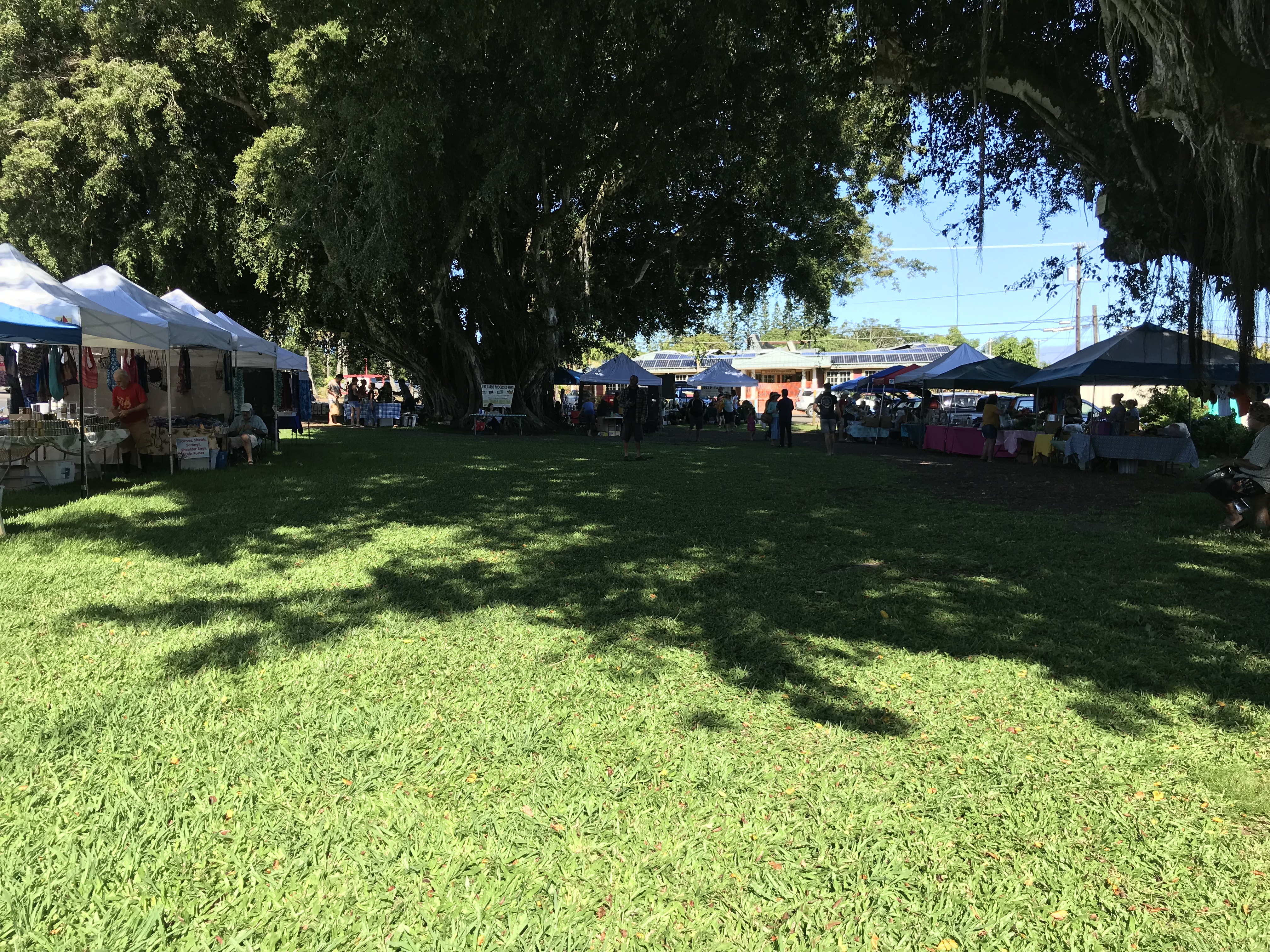
View from the Ka’ena Point trail along the Waialua/Haleiwa, O’ahu side.
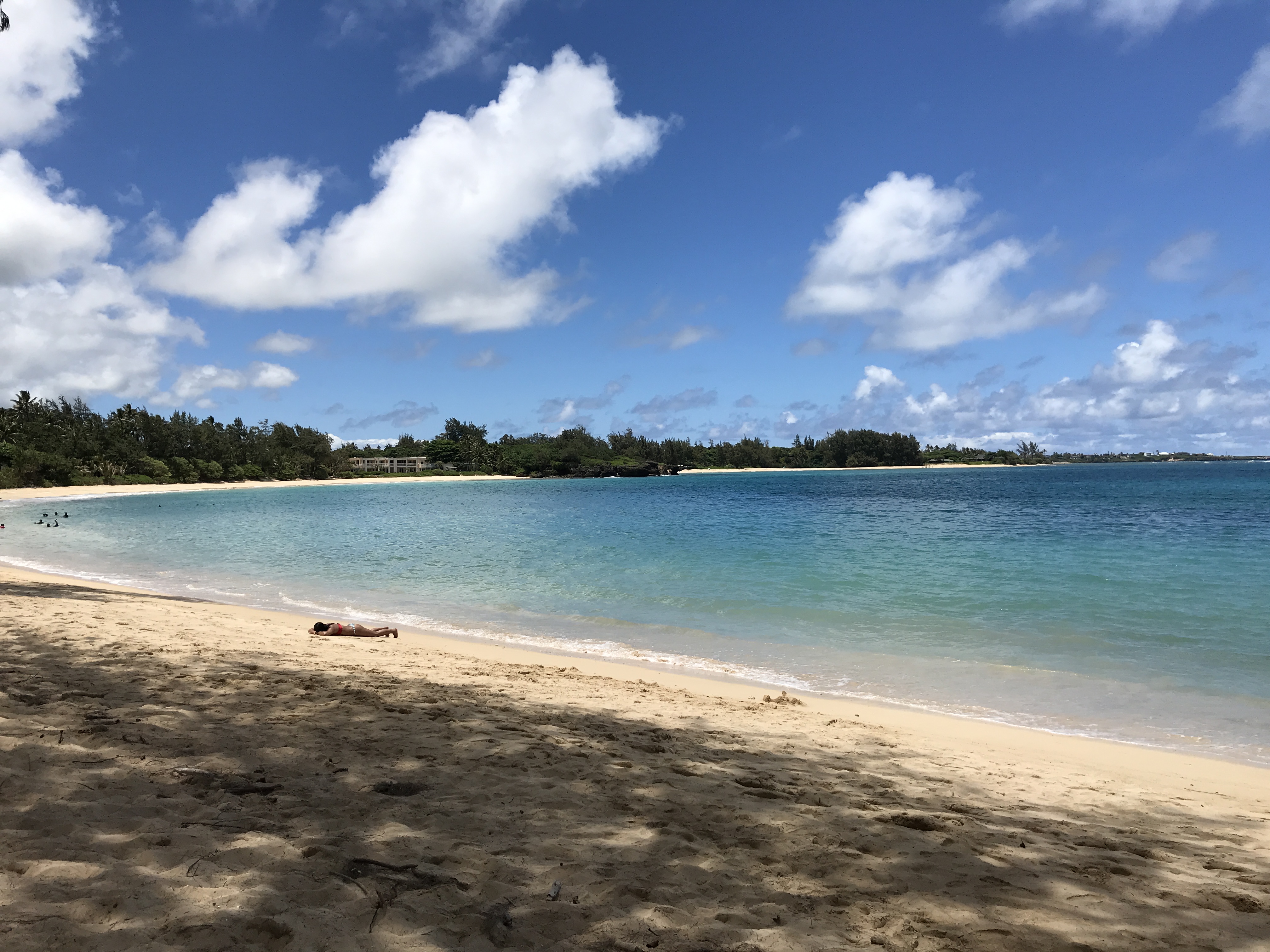
The Ka’ena Point Trail hike from the Makaha end to the Waialua end is just over 5 miles. Best to do with 2 cars if not you split it in half. Today it’s the Waialua/Dillingham airfield half and hiking along the north shore. After the hike a walkabout in Haleiwa, a bit of browsing in the many shops adding a late afternoon bite before driving back to Makaha. I did mention Haleiwa is a nice town to spend a lazy, hot afternoon wandering didn’t I?
I had heard that Hanauma (adding the word “Bay” is redundant as the translation means curved (uma) bay (hana)) gets crowded after 9 best to get there early. I decide to begin at 6:30 for the 1 1/2 hour drive from Makaha. Slow going past Honolulu on the H1 (does NOT! mean “highway” or “Hawaii” or whatever other H designation you might think, around here it’s just “H”1 or 2 or 3), there really are no short cuts to getting around O’ahu or the Big Island, just one main road going from here to there.
The Hanauma snorkling experience was my second water distress and near disaster. Someone who had lived here suggested I protect my credit cards and cash by using a zip lock bag (maybe not the type I used?) and keep that on me when swimming. I zip it all up: my license, cash, health insurance card and a credit card, and shove those in the bag then into my pocket. It’s a low tide and that means swimming about the coral and underwater rocks could be a bit tricky. You can’t swim over you have to go around and through. At some point I get an aggressive charge from a reef trigger fish (humuhumunukunukuapua’s – “fish with a nose of a pig”) https://statesymbolsusa.org/symbol-official-item/hawaii/state-fish-aquatic-life/humuhumunukunukuapuaa, swimming right up to my mask and then it gives me a nip on my thigh trying to chase me out of her territory where, I’m later told, she was protecting her young. Ok, had enough of this! I’m out and on shore taking it all in when I realize I no longer had my “safely tucked away” zip locked bag! Immediate panic! I know where I had been swimming and wade out with hopes of finding a floating bag. Not in the water long I hear someone ask “are you looking for something?” another snorkeler is standing holding my bag! Whew! Thank you, thank you! Also, zip lock bags like the one I used are not water proof! Stopping at the gift shop I buy a t-shirt with that Humuhumu fish stamped on the front, damn it! I will win!
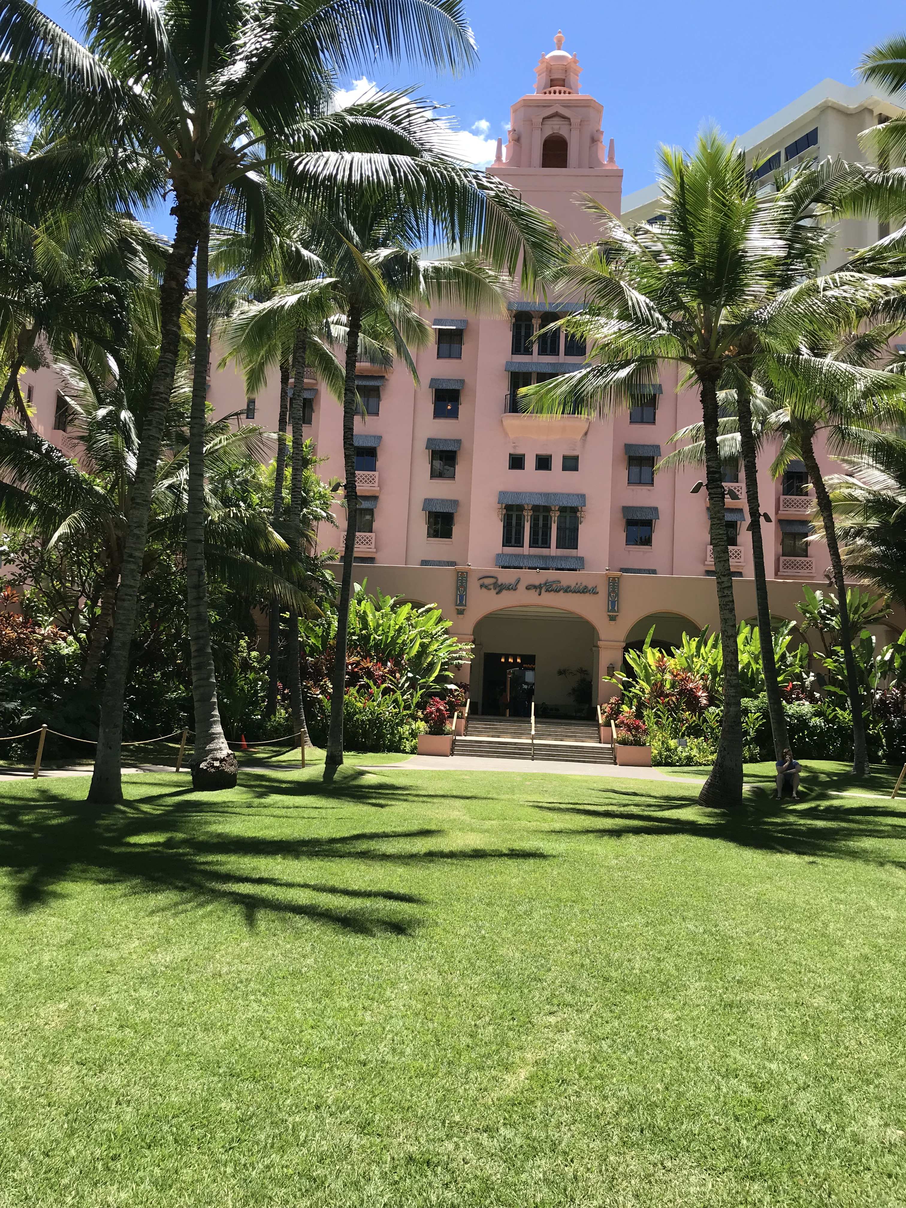
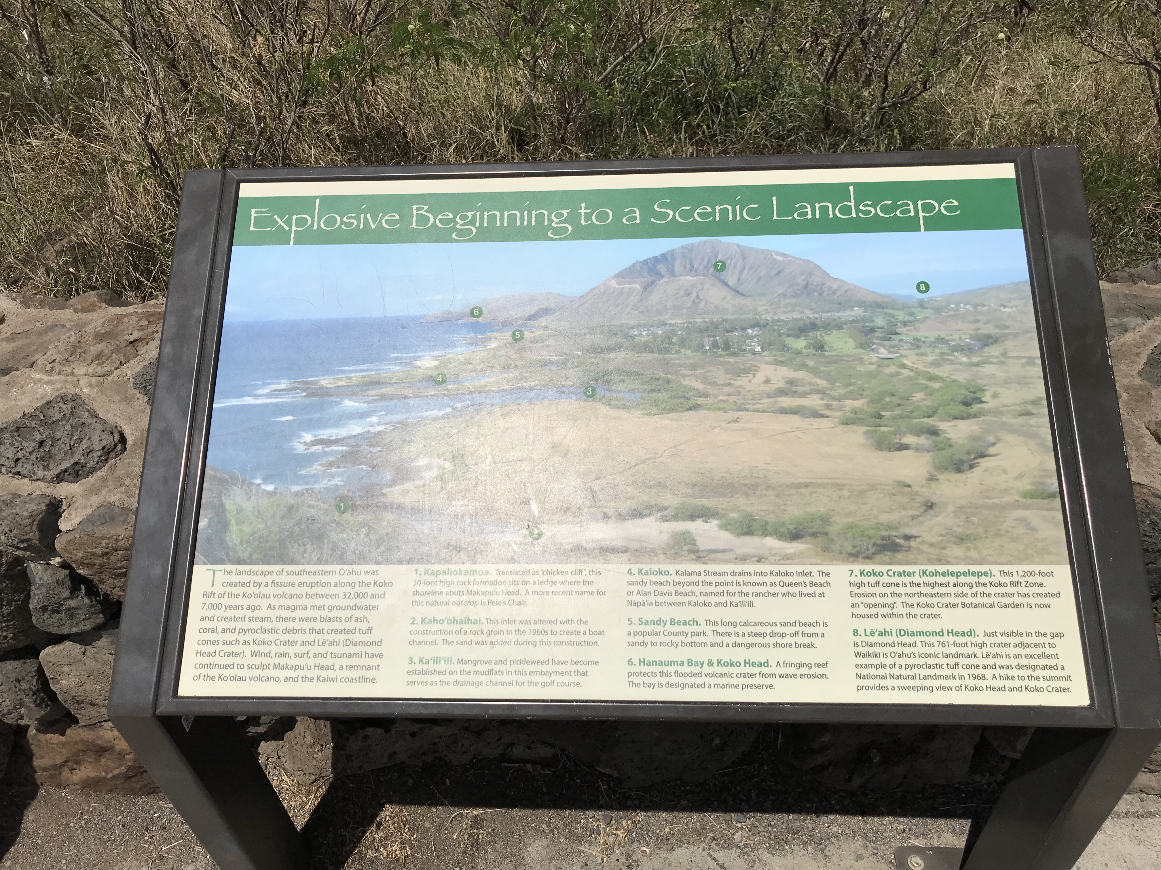
From Hanauma it’s downtown Honolulu and a walkabout of famous tourist places. I’m impressed! Starting my walk through a fancy shopping district and a multi-level open air mall I can just browse store fronts or sit in a wicker chair and take a nap! Then crossing Kalakaua Avenue out to Waikiki Beach to the iconic view of Diamond Head! Uh, yes? Looks like a sidewalk runs along the ocean side so walk it along the beach, through hotel patios, past first floor shops and cafes. Stop at one and order a cappuccino and biscotti and have both while people watching. The Royal Hawaiian is a beautiful hotel built in the 1920’s. With very high ceilings, elaborate wood work and polished marble floors! I would stay here (if I had lots of money of course!) just for the whole Waikiki experience.
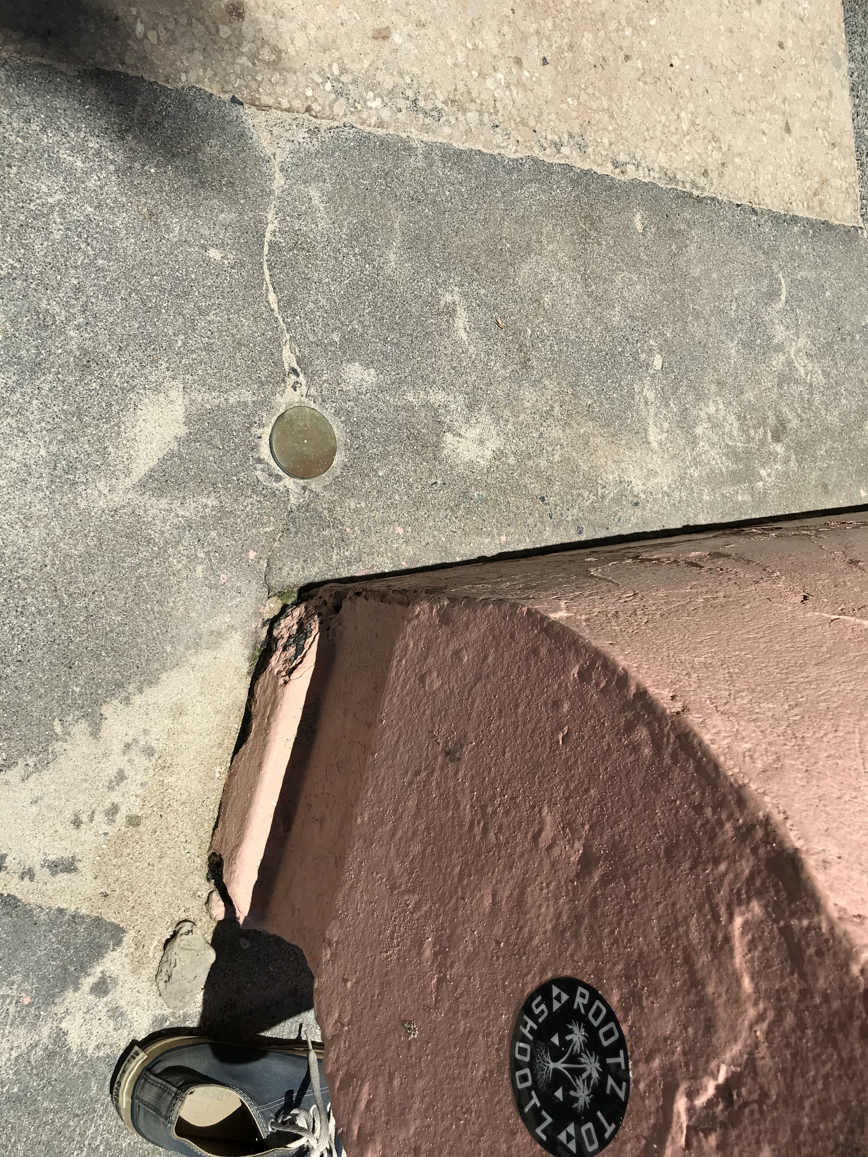
Waikiki and Diamond HeadPhoto of a brass survey disk. A property corner marker on the Waikiki beach walkway. (Of course I’m noticing these when walking around, Hawaii’s land survey system is the same as Maryland’s and knowing this I’m more aware of “boundaries” as I go around.)
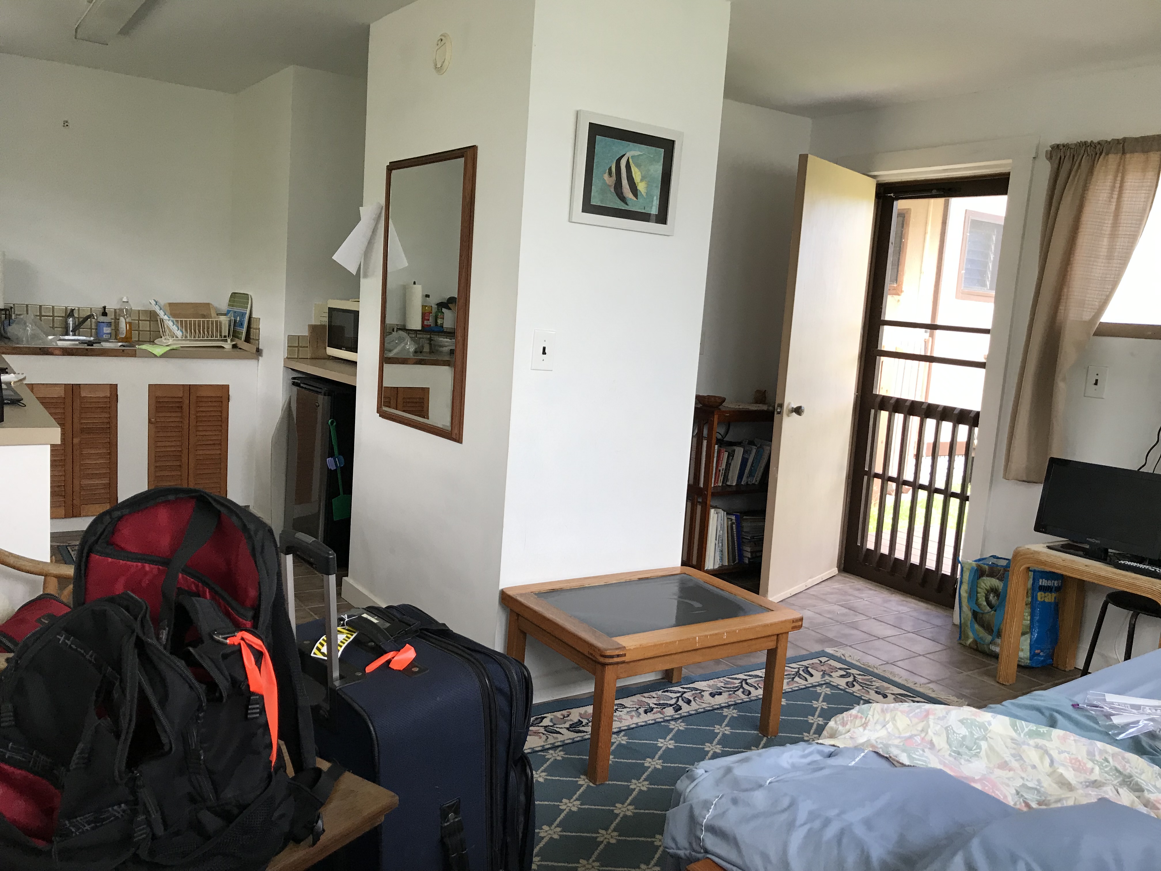
Hauula, Earl and MaryAnne Long’s guest apartment 54-272 Kaipapau Loop
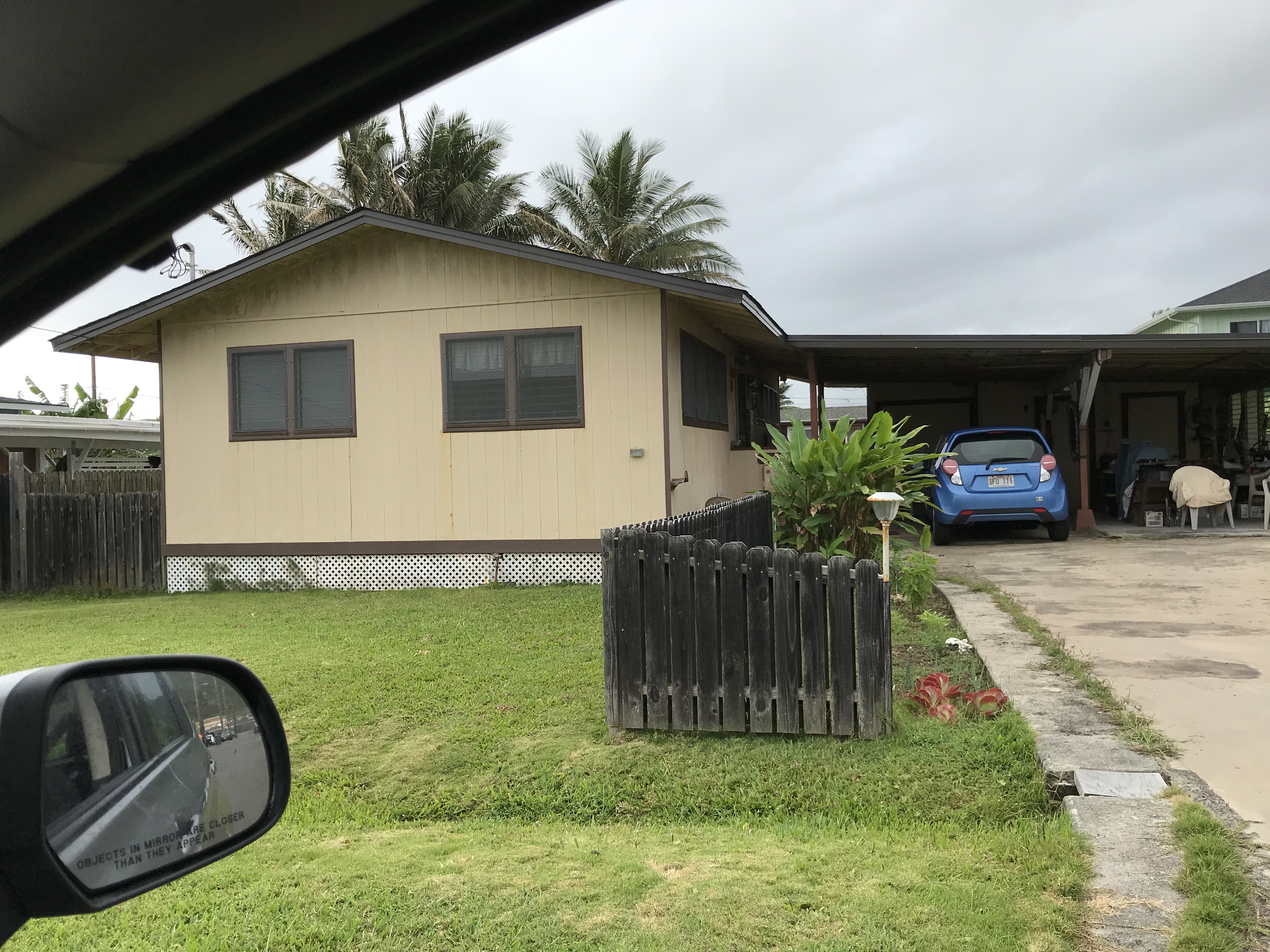
I need to leave my place in Makaha because of the renovation work on the building that has now reached the west end where Dawn’s unit is located. She found me a small apartment belonging to her friend MaryAnne. Located on the opposite side of the island it suits me perfectly because it’s a part of the island I didn’t consider visiting as the drive is a bit long. Friday morning is spent packing then cleaning the condo (it’s not a big space) before making the trip by way of the North Shore. With a beach stop I arrive mid-afternoon. Fish tacos for an early dinner, then a walk with Earl to the community beach. Very rocky and a bit difficult to wade out without losing my balance, the tide is moving in and pushes me around. MaryAnne’s place is in a small subdivision, quiet and away from the ocean.
Kokololio Beach Park, HauulaMaryAnne and Earl’s place, street view. Both from New England, MaryAnne is from Cape Cod and Earl is from VT. They moved to O’ahu 30 years ago. MaryAnne is an active 75 yr old artist and Earl is quietly enjoying the leisure life of R&R. My apartment is tucked in behind the car port.
Otai drink, the Hawaiian version, a frozen pineapple, mango, papaya mix. Very refreshing!
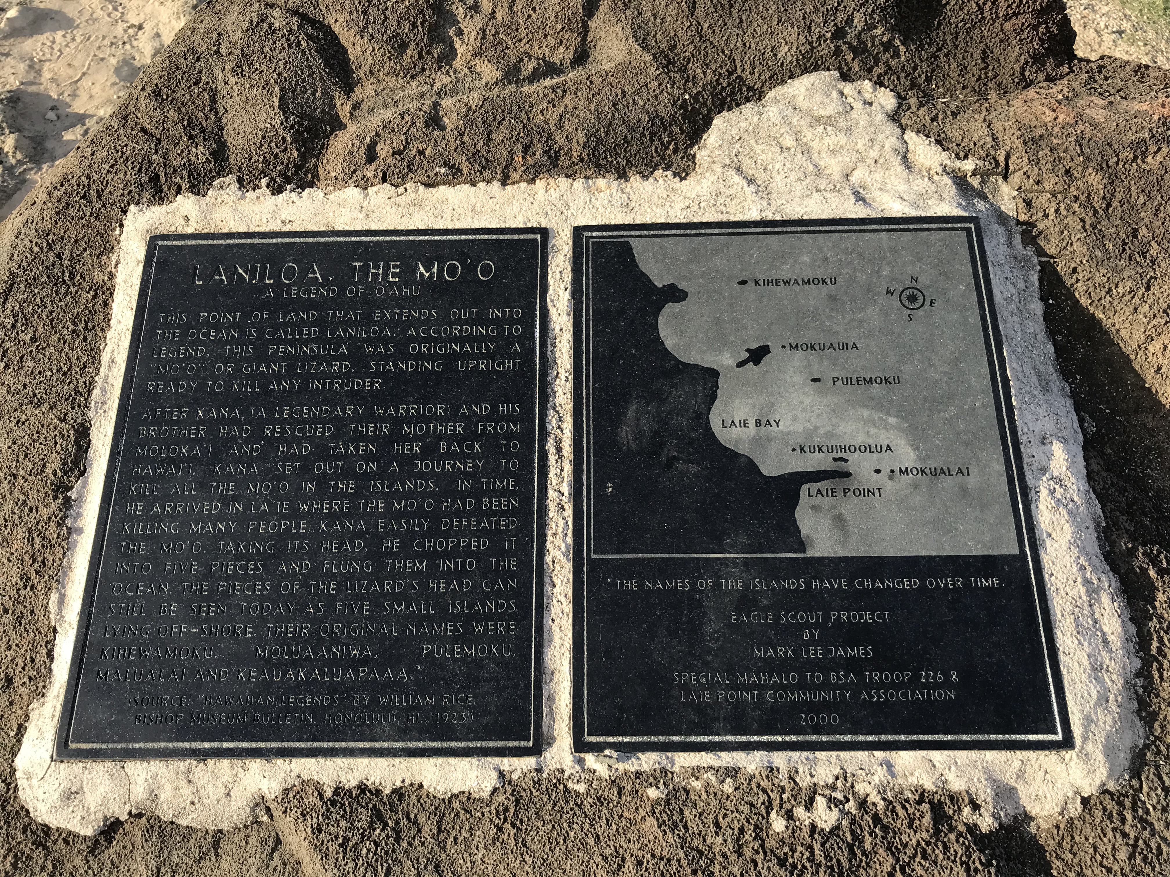
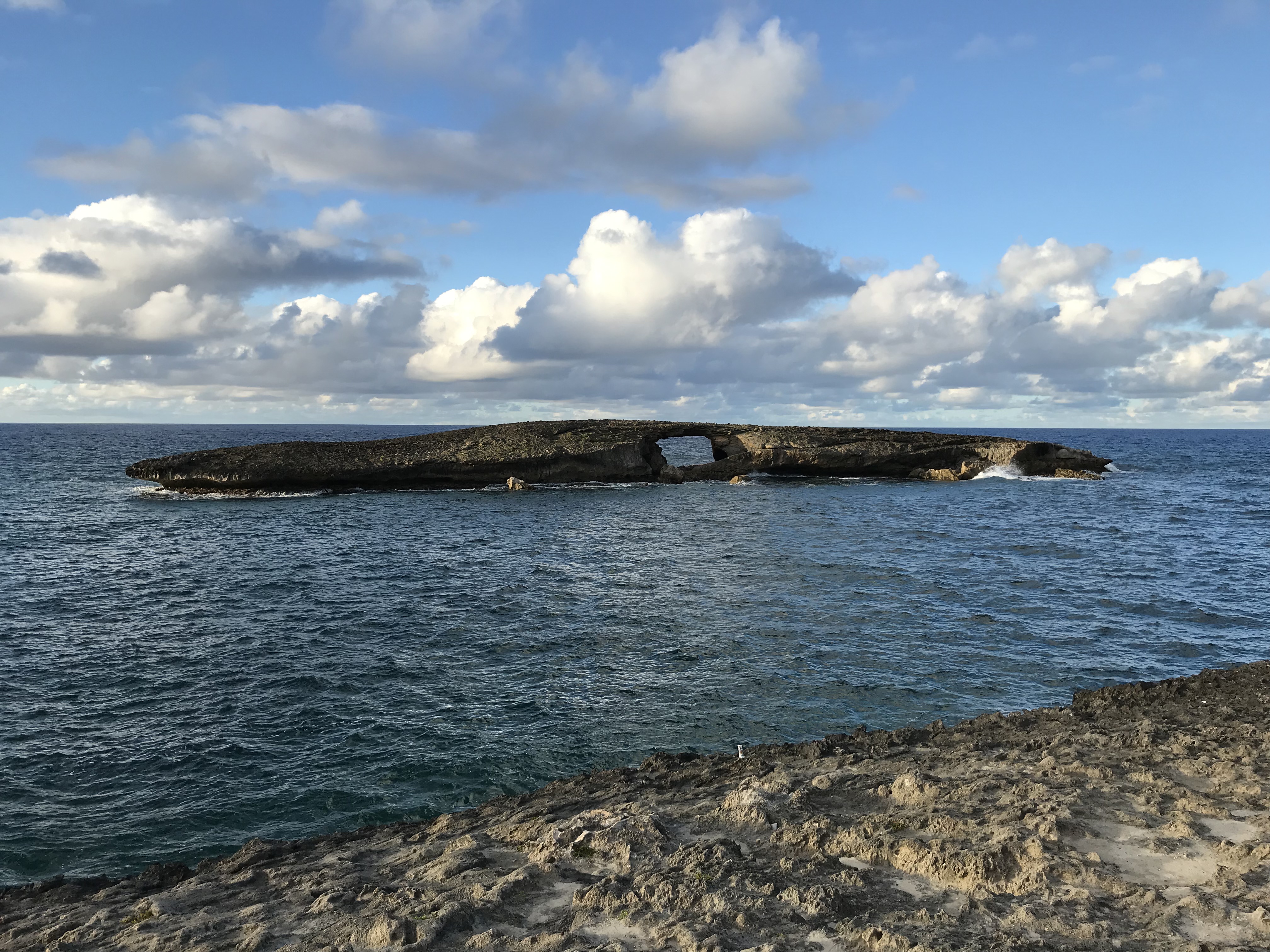
Laie PointKukuihoolua Island, the closest of the five, is 423-feet offshore. This 1.3 acre islet has an elevation of 20 feet. The natural Sea Arch was created on April Fool’s Day, 1946 when a tsunami punched a hole, dead center, through the island.
This hike was a bit tricky. Not the trail itself it was easy to follow except it had been raining off and on the last 2 days. I wanted to do it before leaving for the Big Island. The few difficulties were making way through muddy, narrow trail cuts at parts and the dam crossing. It had rained while I was hiking which could make the stream rise and run too swiftly to cross until after the rain stops, fortunately this didn’t happen. The trail was clearly marked beginning to end, I was more worried about my new I-phone getting wet. Trying to keep my feet somewhat dry was a wasted effort as much of the trail during and after the rain was a sloppy mess. Finished when I thought I would on the drive back stopped for a carry out dinner to eat back at the apartment. Dry and warm, me, not the dinner.
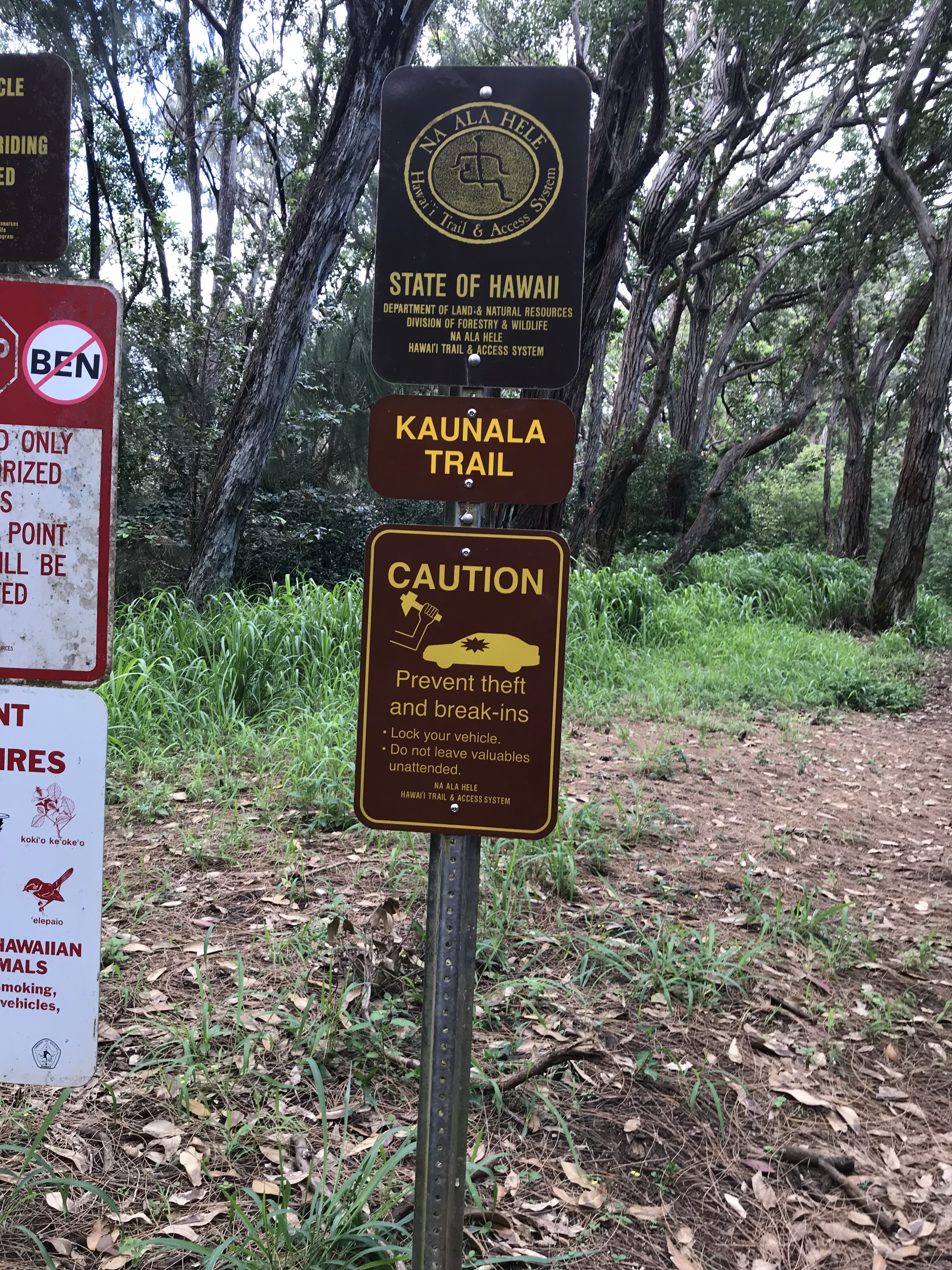
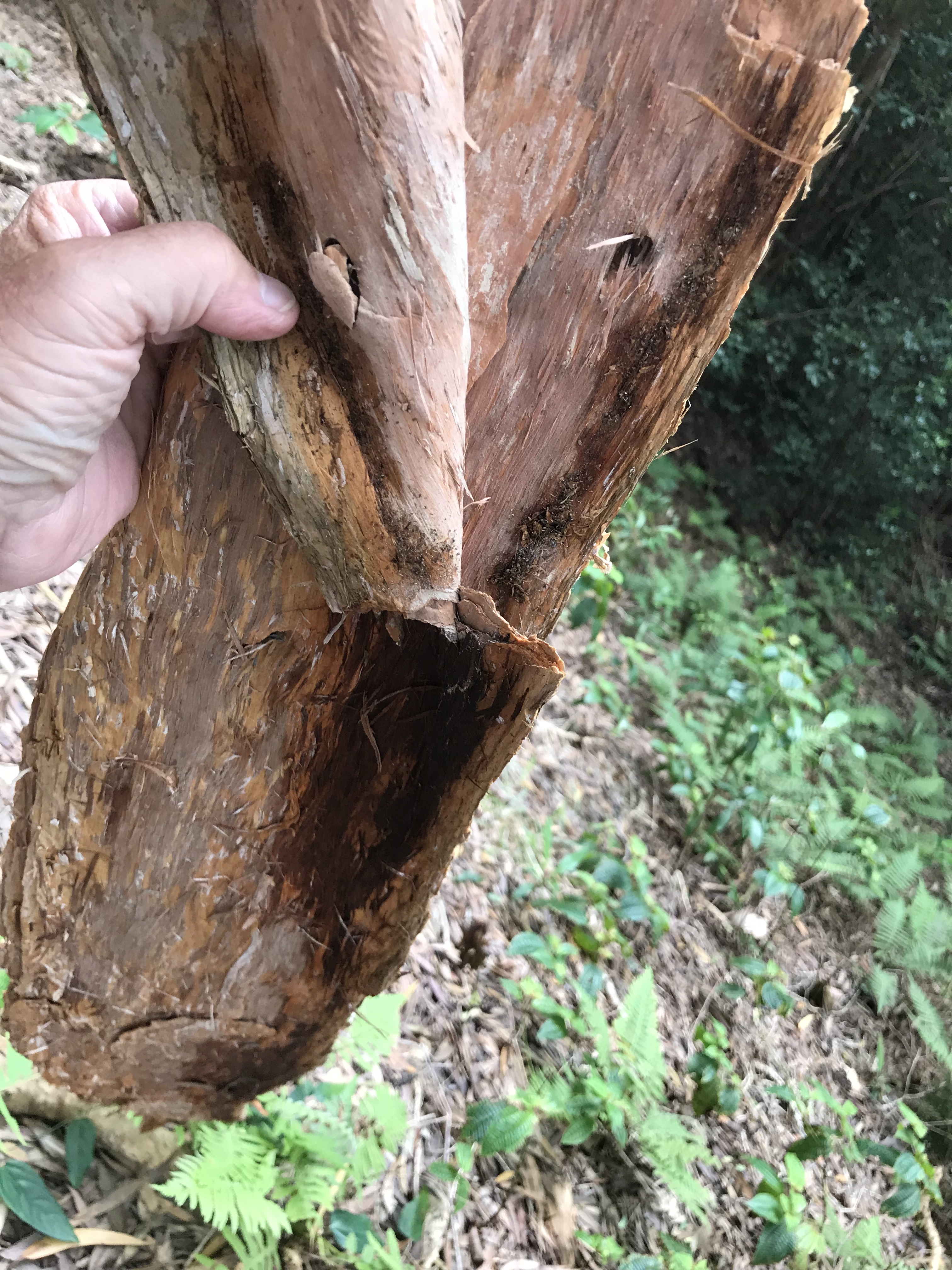
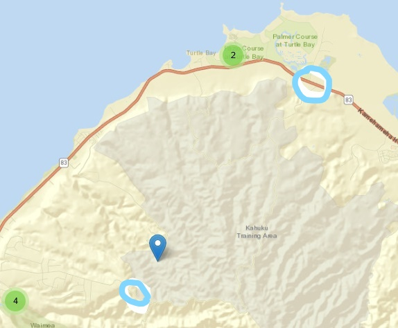
https://www.alltrails.com/trail/hawaii/oahu/kaunala-trailRainbow eucalyptus bark, introduced in the late 1800’s the fast growing eucalyptus trees choke out native trees and brush.This is a partial shot of a larger map shown on this link: https://www.tpl.org/our-work/pupukea-paumalu when you open the link enlarge the map to show the road names and look for Paalaa Uka Pupukea Road. My “hike” started where I parked my car near the Boy Scout Camp (lower left circle) then at some point I found myself leaving the dirt foot path where it reconnects to the road walking north over the mountain and through the Kahuku Training Area to meeting with Kamehameha Highway (upper right circle). From this intersection I walked to the Turtle Bay Resort sticking my thumb out in hopes for a ride (found out later that hitchhiking is illegal). Was picked up then dropped off 5 miles down the road at the Pupukea Road light (off the map lower left) where, after buying 2 bottles of water at Foodland, I then walked 3 miles uphill back to my car.
Well this was a fun day. This was to be a hike that Dawn and I were going to do together. She’s hiked it many times, today unfortunately Dawn suffers with a cold and can’t make it. No worries, I set off on my own – at 11:20 a.m. Easy enough I think it’s a loop with trail markers. Parking my car at the end of Pupukea Road near the Boy Scout Camp I then head out for the trail. I didn’t notice that it began and ended at the same point when I start off and with the idea I’m going to go in a clockwise loop. Supposed to be a 2 1/2 hr. hike when somewhere along the way the trail turns from a narrow dirt path into an abandoned blacktop road. Thinking I’m going clockwise when reaching the road I turn right. After 2 1/2 hours now I wonder why I’m not getting closer to the end but don’t dwell on it maybe I’m just on a slower pace. After another half-hour still walking the road (the ridge road is closed to traffic and appears abandoned) and still thinking I’m going in a clockwise direction I check my gps location. It looks like I’m near where I parked so I keep on. Another 1/2 hour I check gps again and now discover that I have been moving away instead of toward from my car. ( I didn’t realize it until after the hike that I mistakenly started in a counter-clockwise loop and where I should have turned left at the road I turned right). At this point I’ve gone up and over the mountain I expand Google maps and see that the road I’m on will eventually take me to the main road and not wanting to go back up and over I decide to continue with it. And with it. And with it. Now I’m into the back end of a “secure” area and an Army training site. Fortunately for me I get directions from a soldier who tells me “keep going down this road, the main road is up there”. “Up there” is another hour of walking. Googling this later I measure “up there” as 3 miles long. Now I reach the main road just east of the Turtle Bay Resort. I’m 9 miles from my car and I really need to find a place that sells water because I’ve run out and I’m thirsty. Walk, not the whole 9 miles, and walk and stick my thumb out. Walk and hitch. A mile later I catch a ride. The driver had passed me earlier and tells me later he thought maybe I didn’t look too scruffy or suspicious so he turns around and comes back to offer a lift. Nice guy, takes me the 5 miles to Foodland where I can buy water and satisfy my thirst before…heading uphill 3 more miles back to my car. The earlier conversation I had with Dawn before my hike and because I was going out alone she asked that I call her when I was back at my car, not hearing from me she calls me instead. At 4:30, concerned, I tell her about my adventure, this far. Dawn is a kind person and will keep me company on the phone for the next hour and 29 minutes while I walk back to my car when I’m safe and sound. My “hike” was 11 1/2 miles long , over 6 hours adding a 5 mile hitch hike ride in there somewhere. I appreciate that my old body went all the way without complaint. The next day I’m flying from Honolulu to Kona heading to the Big Island and Hawi (Havi) town!
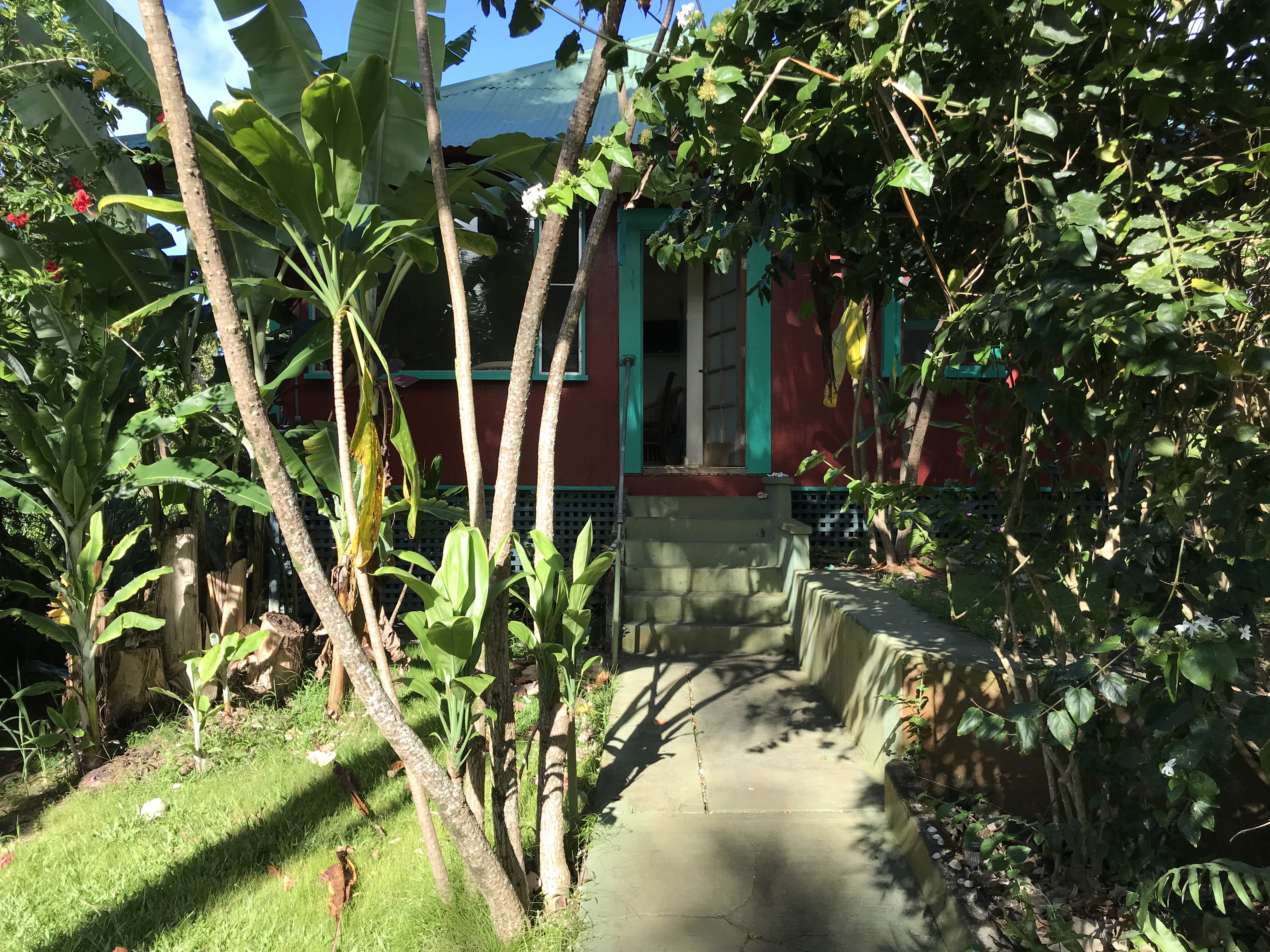
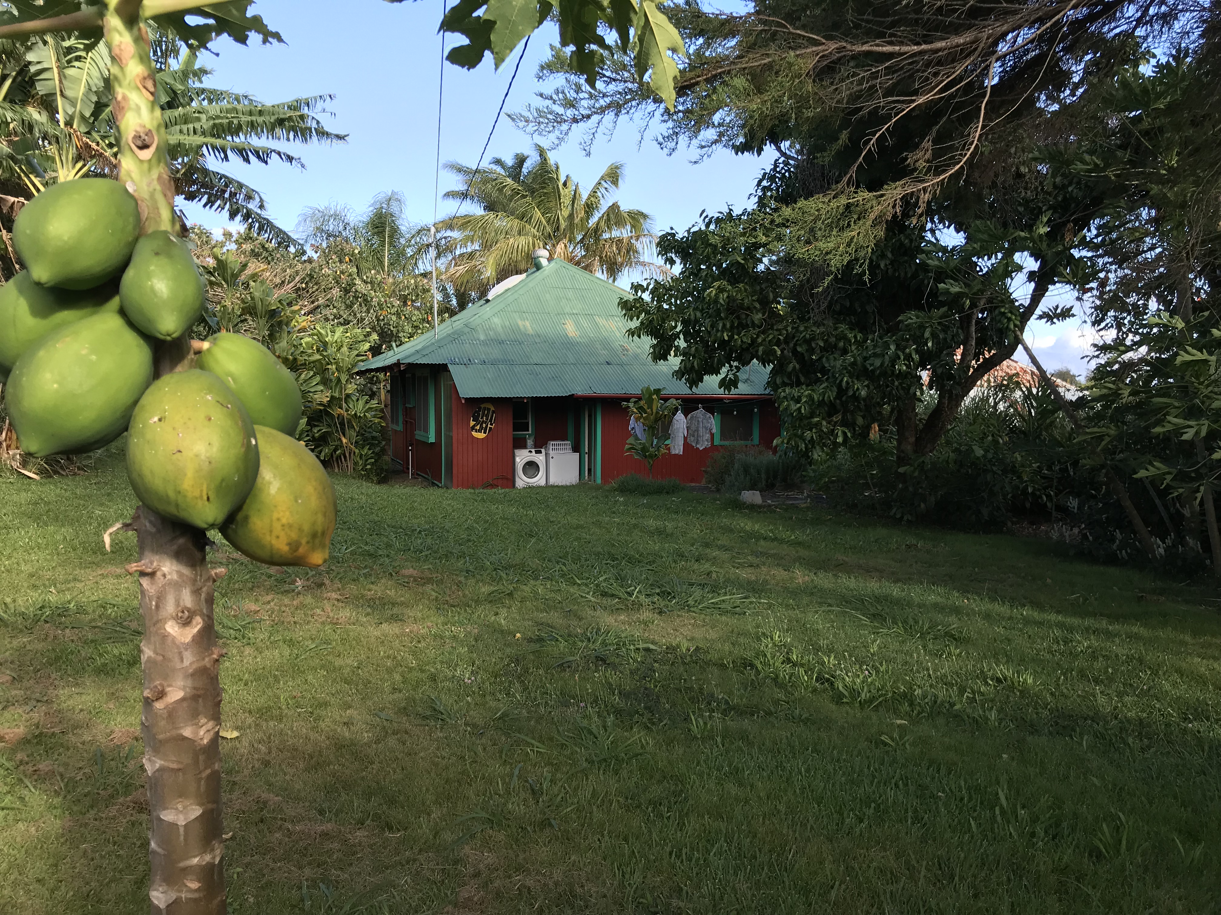
Front of the house on Banana Ranch Road, Hawi HIBack yard
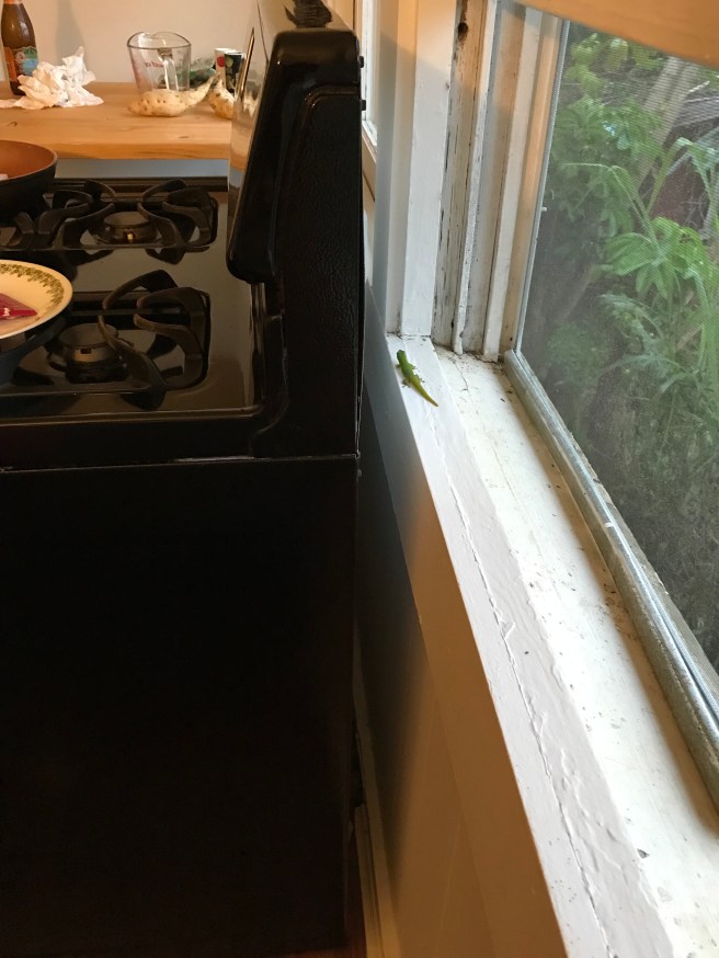
Housemate
The flight from O’ahu to Kona on the Big Island was uneventful, never in the air long going between islands. Security line was a drag, one sniffer dog checking every passenger. That took a while. And I’m still lugging around too much stuff. 49 lbs in my suitcase (which I think weighs 10 lbs empty) and 25 lbs in my back pack. What do I need all this stuff for? The prices here, except for food, are not too, too bad so I can buy what I need, didn’t need to bring everything. My mid-size car turns out to be a very new Dodge family van, that’s all that is left in the lot so I’m stuck, at the same rate, with too much vehicle that gets too low miles per gallon. Didn’t take many days to decide every other day is a park the van day because this is a big island. Compared to O’ahu where I could get to most places in under an hour here it’s almost to get anywhere will take at least an hour. Hawi (Ha-vee) is a nice little town, neighbor to Kapaau-Kohala and the birthplace of Kamehameha I in what was sugar cane country, the Banana Ranch Road house is an old frame farm workers house, maybe it’s a 100 years old. The owners have upgraded a lot of the space, kitchen, bath and outside making it a comfortable stay and within walking distance to the town shops and markets. I’m expecting my nephew, niece and his girlfriend in 6 days, I’m here for 11.